Ricko
Ricko
About
- Username
- Ricko
- Joined
- Visits
- 6,740
- Last Active
- Roles
- Member
- Points
- 10,565
- Birthday
- February 7, 1977
- Location
- merlo san luis argentina
- Rank
- Mapmaker
- Badges
- 22
Latest Images
Reactions
-
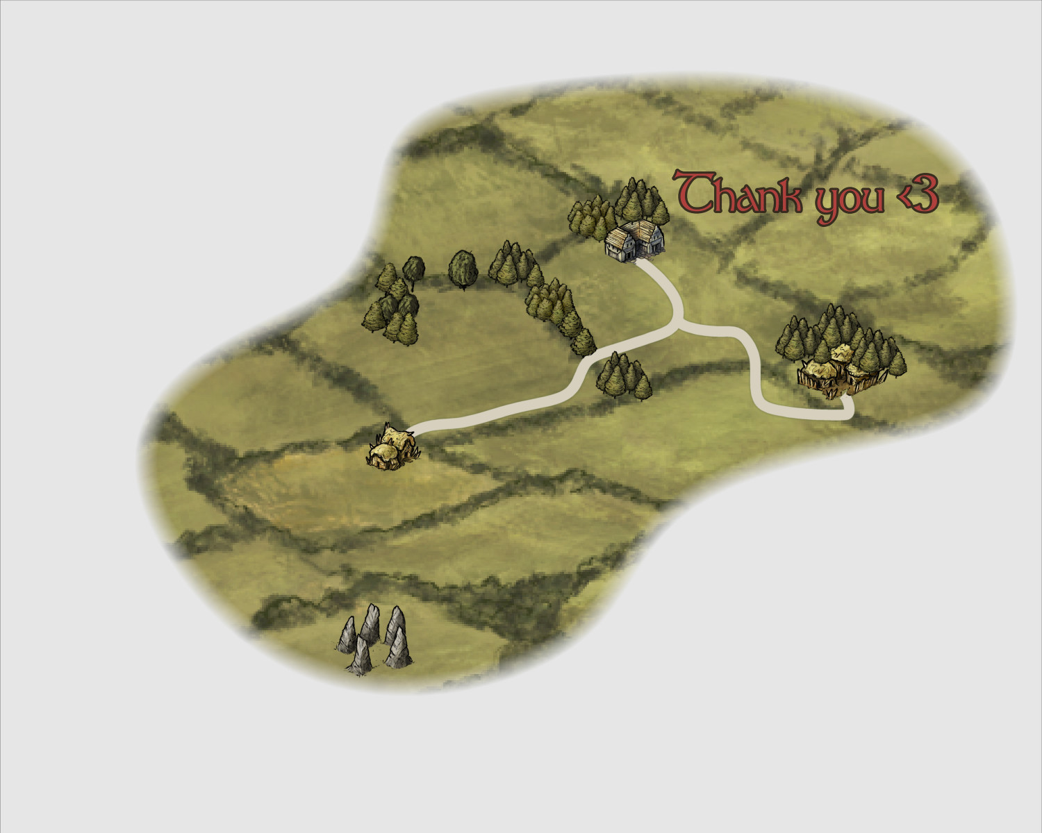
Tutorial - Between hills, rivers and trees
-
Geospatial Network Model Of Roman Empire.
Recently a friend recommended this page to me in order to study travel times during the time of the Roman Empire.
I found the idea very interesting because the site has several analysis options such as seasons and travel style (expensive, cheap, on foot, by boat, cart, etc...)
I hope it is useful to someone.
Cheers


-
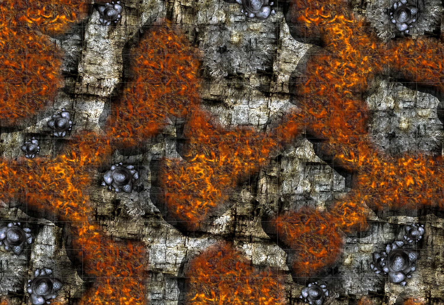
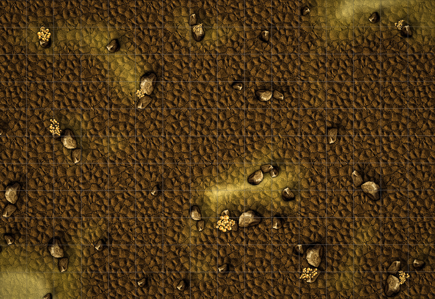
Battlemap collection for personal use
-
Battlemap collection for personal use
-
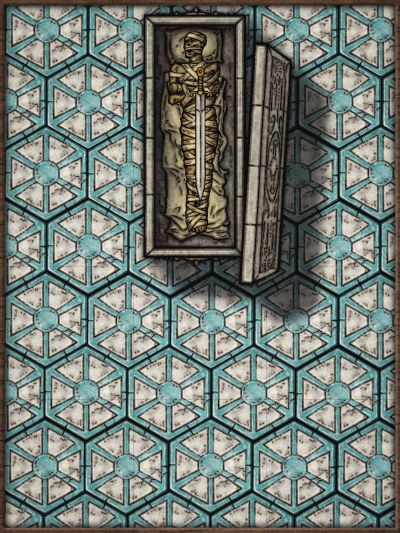
Community Atlas - Drachen Temple Battlemap
-
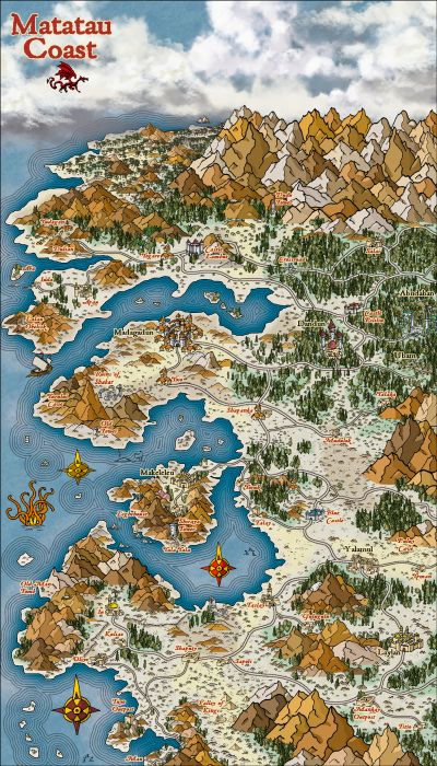
Hex map
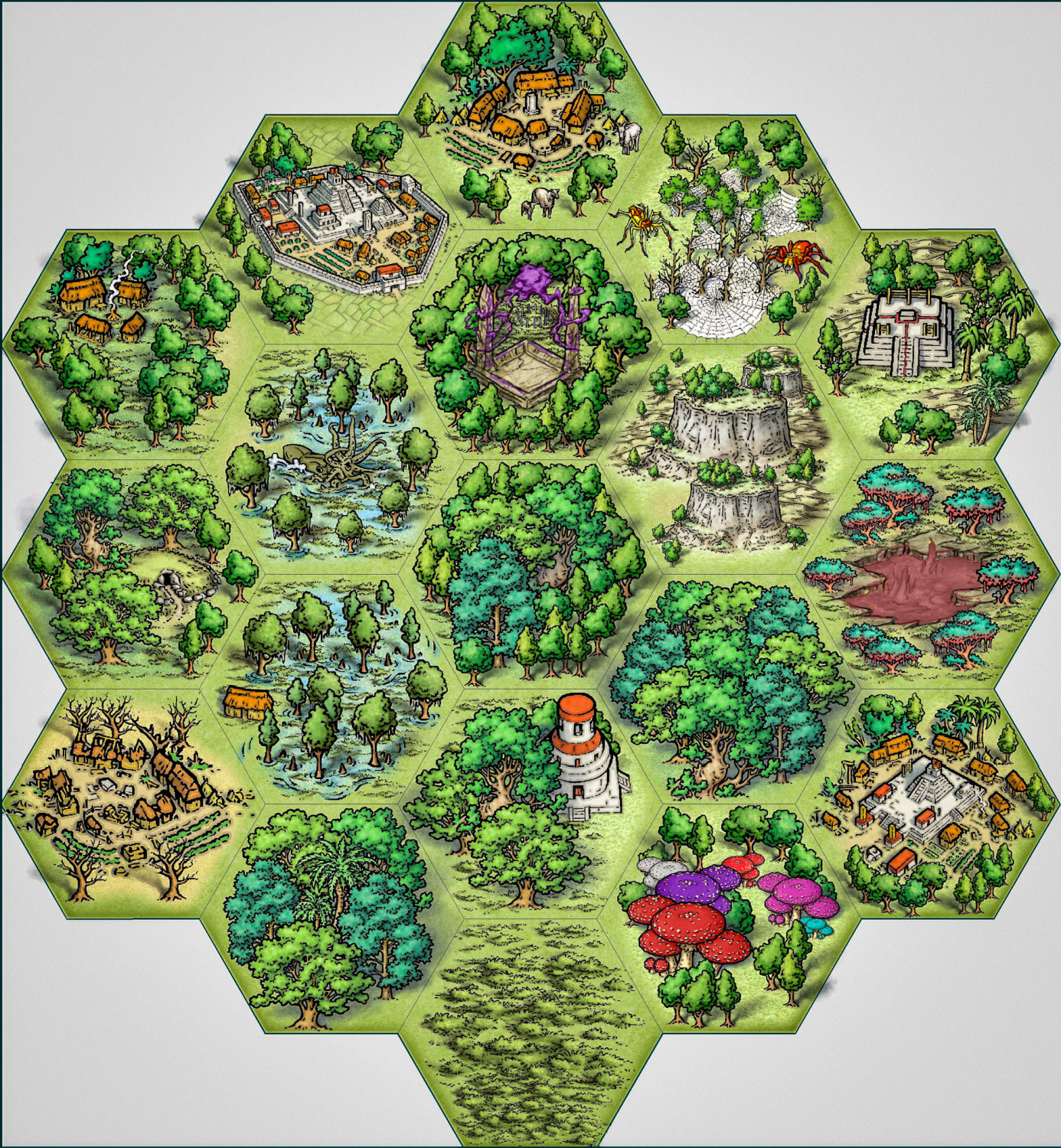
lets go jungle! 😅


-
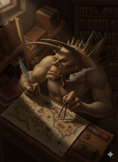
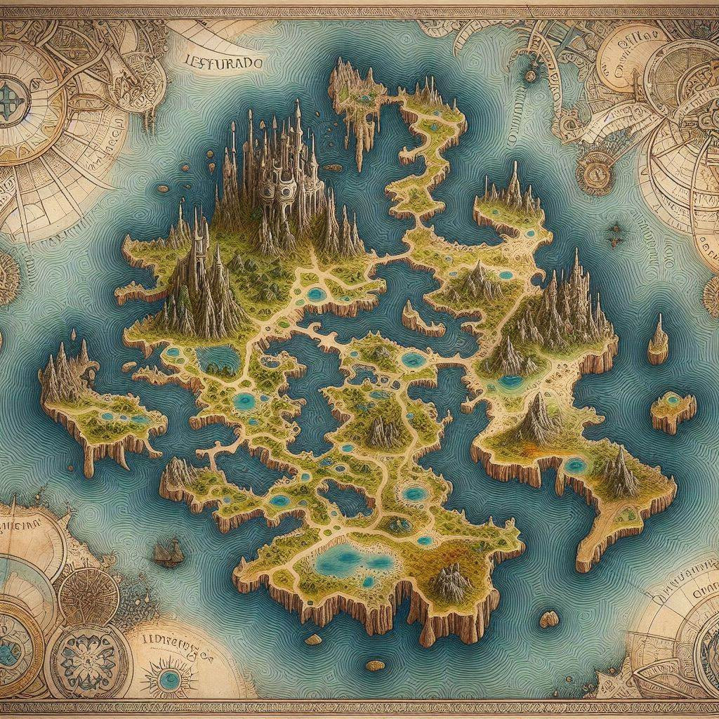
Insect Realm
I'm trying out a new possibility:
1. Create AI-generated images of maps that come with interesting decorations.
2. Use this image as a Trace and add Transparency to this Sheet.
3. Place the Sheet Trace under the Land, and draw the outline of the Land on top of the image.
4. Arrange the map as I see fit with the chosen motif and keep this sheet trace transparent when I export the JPG.
I'm attaching the image and the file; I think you'll just have to "fit" the image back into the trace to get a better idea of what I'm talking about.

-
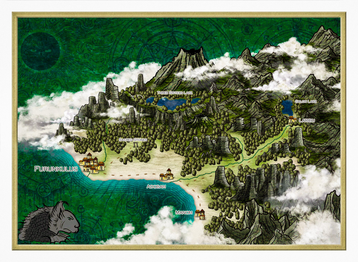
De Rust + Alyssa Faden clouds
Furunkulus Zone
Cheers

-
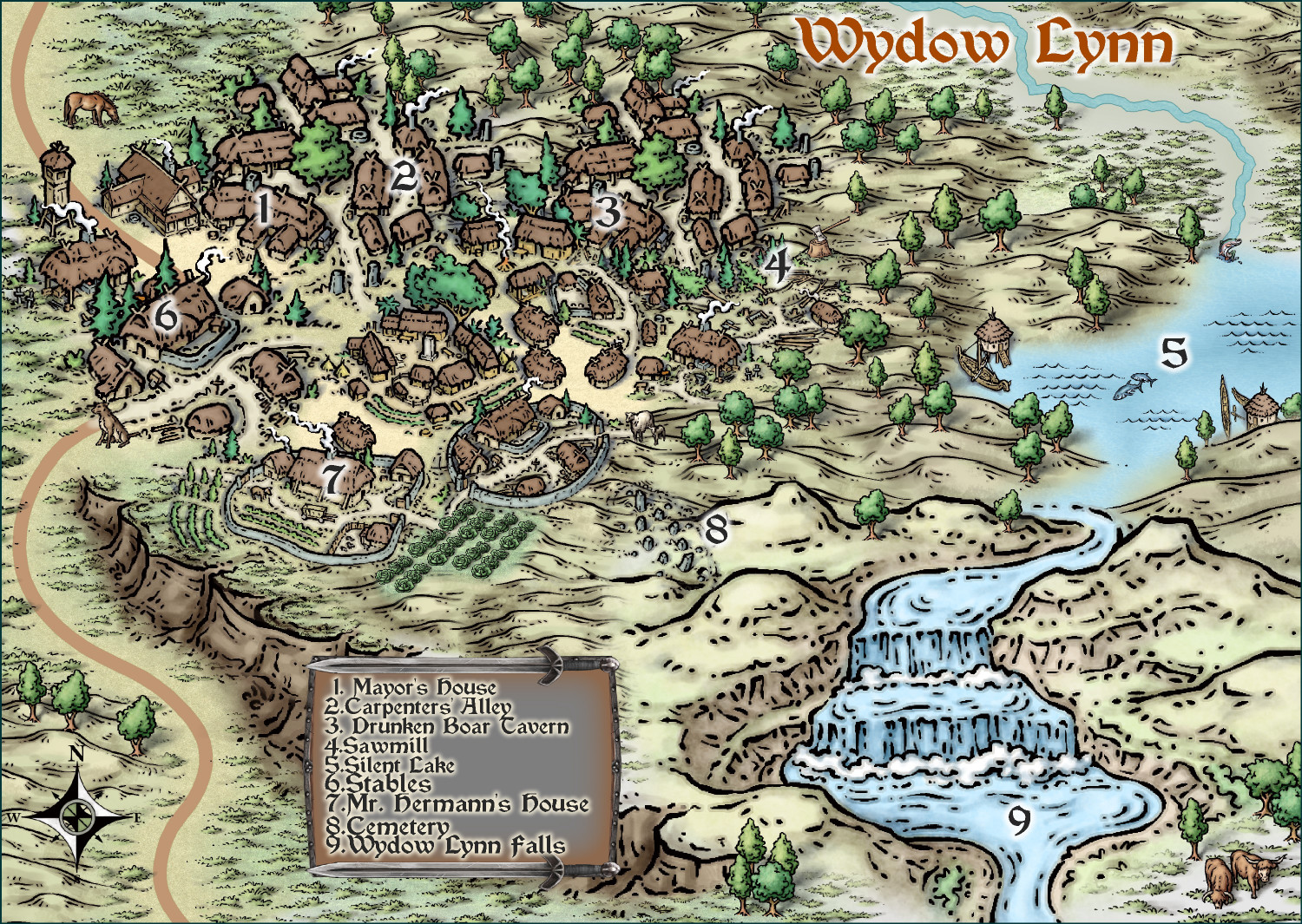
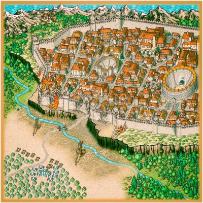
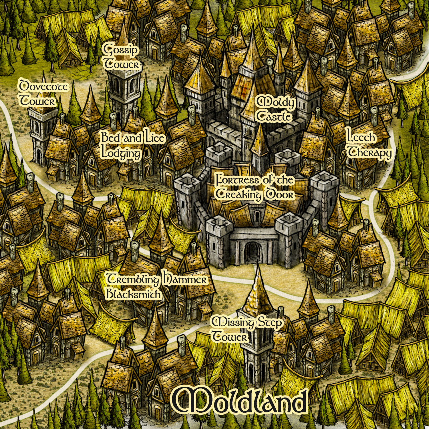
Herwin Wielink Series
A friend of mine from Brazil asked me for a small map of a city in his campaign. Taking advantage of my Wielinkm moment, I told them to give me a map with the names in Portuguese, and here is a map with the literal translation - sorry for any mistakes.
-
Ricko's Questions