Ricko
Ricko
About
- Username
- Ricko
- Joined
- Visits
- 6,740
- Last Active
- Roles
- Member
- Points
- 10,565
- Birthday
- February 7, 1977
- Location
- merlo san luis argentina
- Rank
- Mapmaker
- Badges
- 22
Reactions
-
Community Atlas - Doriant - The Dale (south East) - Lakeside - Bexley Lake Environment
-
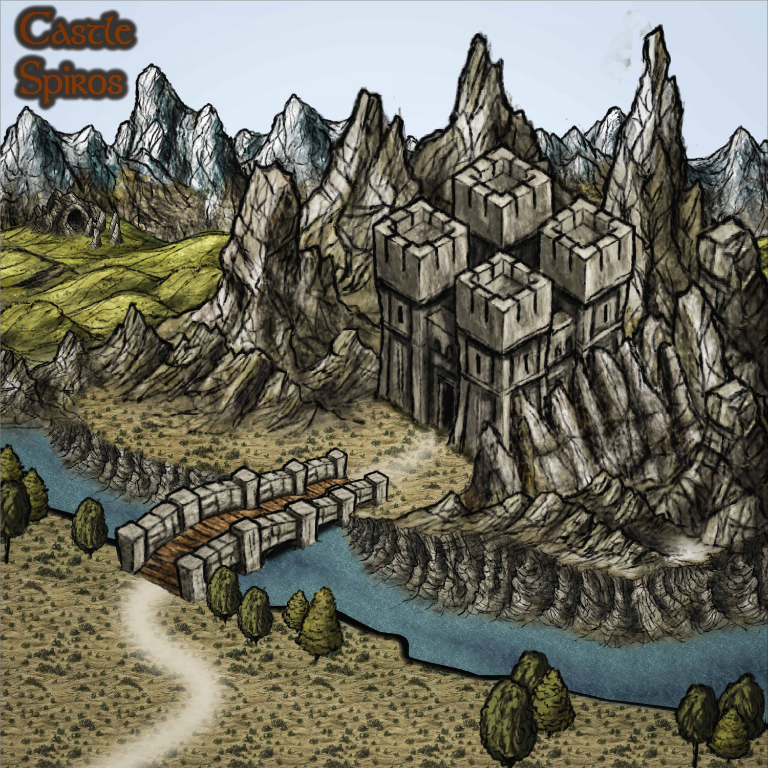
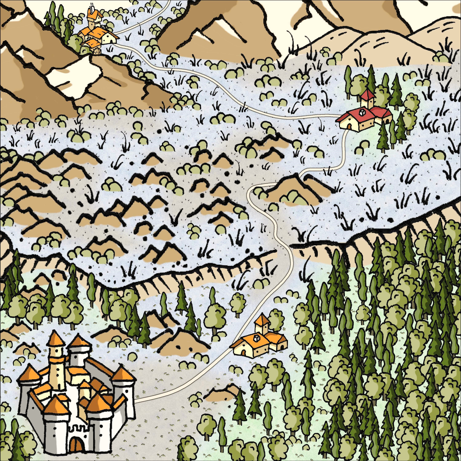
Community Atlas - Doriant - Radizarela (small square NE) - Castle Spiros
While wandering around the atlas, I came across this castle with mountains or sharp stone structures defending its back. This inspired me to create a descriptive drawing using CC3. This time, I opted for the style of Herwin Wielink.
-
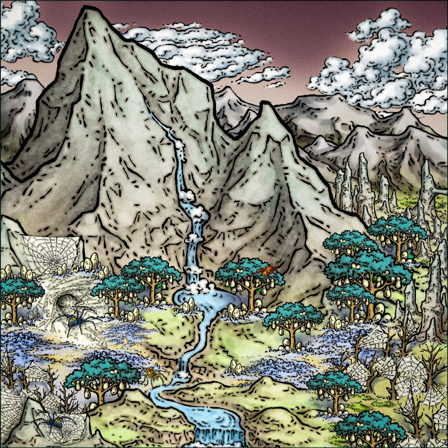
Spider Attack!
-
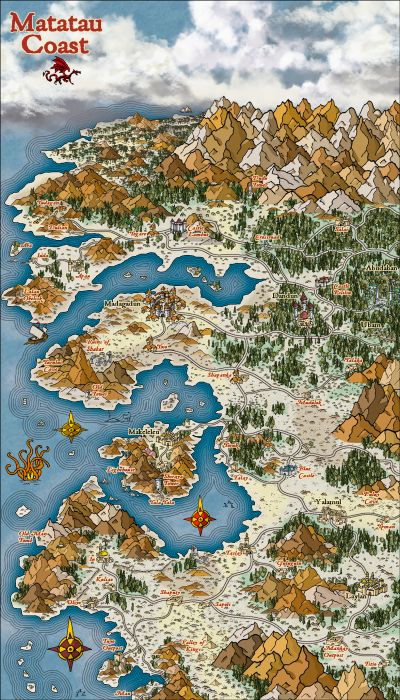
Community Atlas - Ezrute - Fertile Valley
-
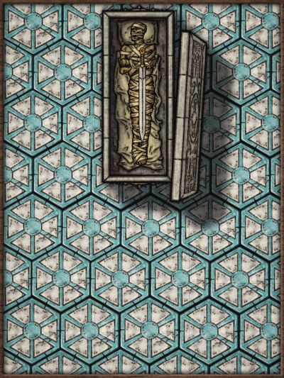
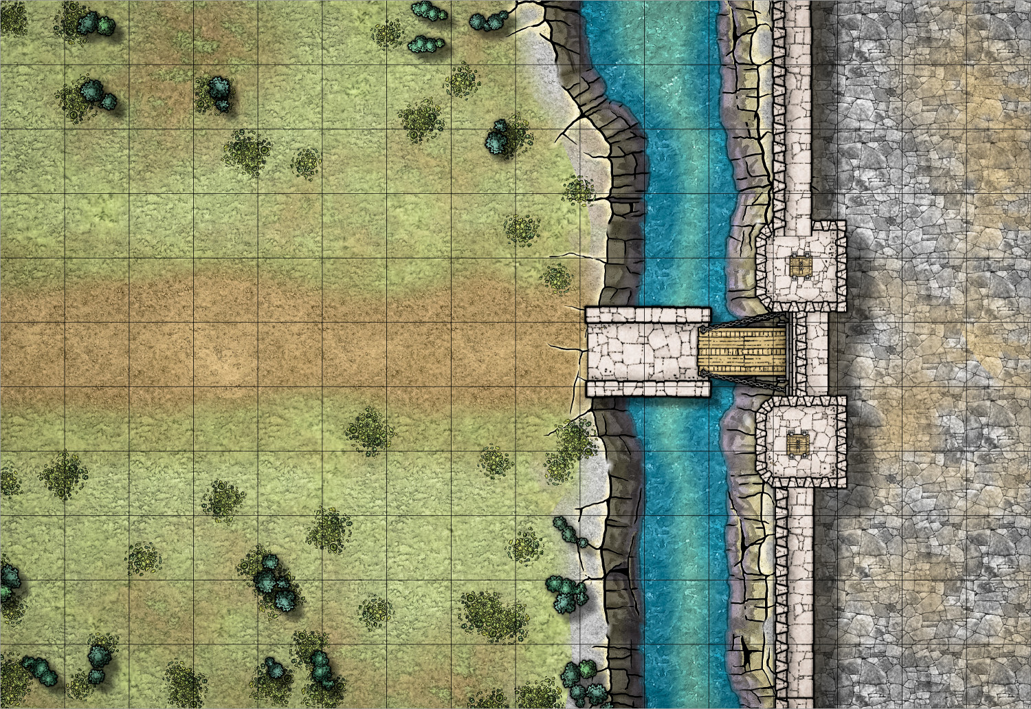
Battlemap collection for personal use
-
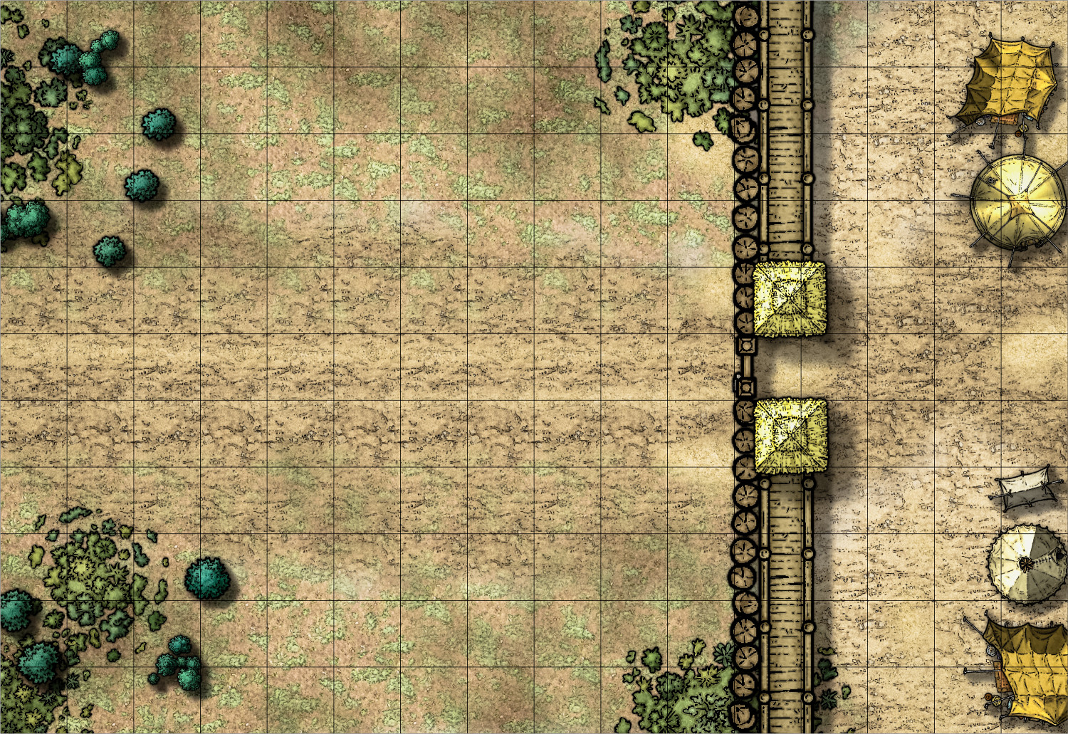
Battlemap collection for personal use
-
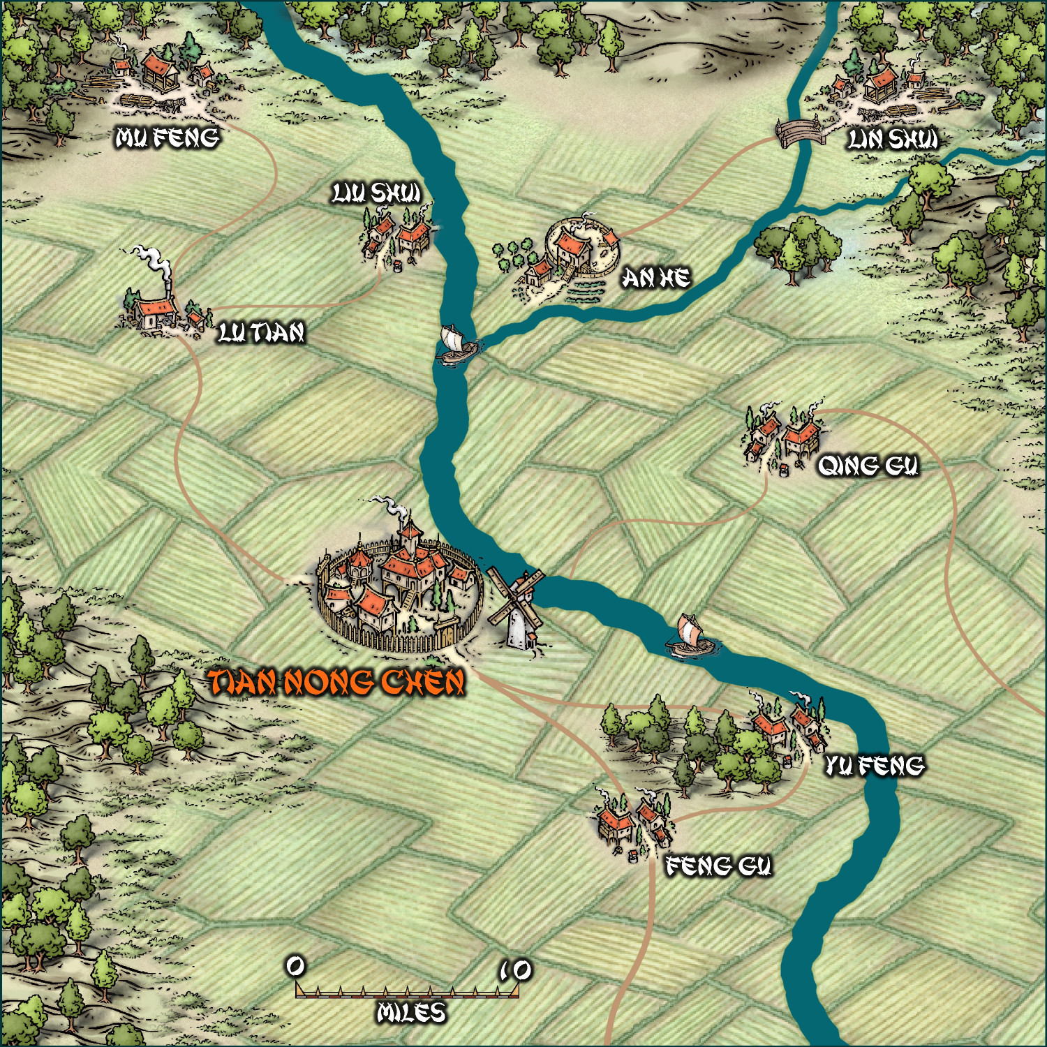
[WIP] Community Atlas: Kumarikandam - SE Tiantang Region
Tien Nong Chen – The City of Farmers
Tien Nong Chen and the surroundings towns is the kingdom’s agricultural jewel. With vast fields irrigated by rivers flowing down from the mountains, the city is the kingdom’s hub for grain, medicinal herbs, and rice production. Surrounded by small settlements such as An He (Silence River), Qing Gu (Clear Valley), and Feng Gu (Wind Valley), each of which plays a specialized role in the cultivation and gathering of vital resources.
To the north of the valley lie the logging settlements of Mu Feng (Wind of Trees) and Lin Shui (Water of Forest). The precious timber of the Ancient Forest is a coveted resource, but overexploitation angers the forest spirits, who occasionally manifest themselves in the form of storms or monsters. It is said that the leaders of these settlements hire mercenaries to sabotage each other, increasing instability in the northern region.
With its rich agricultural production and strategic position, this is a place of vital importance to the kingdom, but also a powder keg of political and social strife. For adventurers, the valley offers unparalleled riches and glory—at the cost of navigating betrayal, monsters, and ancient curses.
Local Beliefs
• The Curse of the River: The villagers of An He believe that the river that irrigates their land is protected by a guardian spirit. A farmer who tried to divert the river's course mysteriously disappeared.
• The Golden Rats of Qing Gu: A local legend tells of golden rats that appear during harvest nights. Capturing one would bring infinite wealth, but killing one would bring bad luck for seven generations.
• The Well of Lamentation: Between Tien Nong Cheng and Feng Gu lies an abandoned well. A site of suicides during times of famine, the well echoes with voices on stormy nights.
Recent Events
• Crop Sabotage: Recently, rice fields in Qing Gu were burned overnight. Farmers are suspicious of Feng Gu and have hired willing individuals to investigate and, if possible, retaliate.
• The Fury of the Forest: Angry spirits have begun attacking lumberjacks near Lin Shui. Local leaders are offering a reward to anyone who can appease them—or destroy them.
• A Secret Alliance: Intelligence suggests that An He is negotiating a pact with the northern timber settlements to secure privileges. Uncovering and exposing this alliance could change the balance of power in the valley.
• The Ghost Route: Traders report that an ancient, forgotten road deep within the valley has reappeared, shrouded in mist. Anyone who follows it disappears.
-
Hand-drawn Fantasy
-
Schley Symbols - MUST HAVE!!
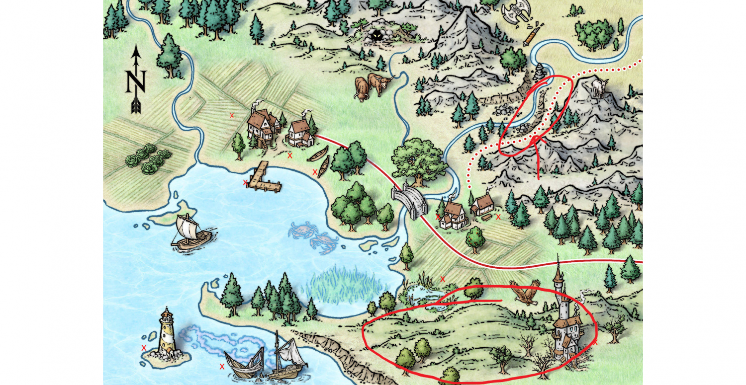
If I could give an opinion, I would say to take advantage of the latest monthly content and expand the eastern domain with towers, sacred gates, shogun castle, maybe even a boat or two to set the eastern scene. In the case of this image of Mike, it has a lot of interesting elements, I highlight the two most important ones - for me:
1. cliffs oriented diagonally and straight towards north or north west as in the case of the image, "similar" to Sue's versatile cliffs in Darklands.
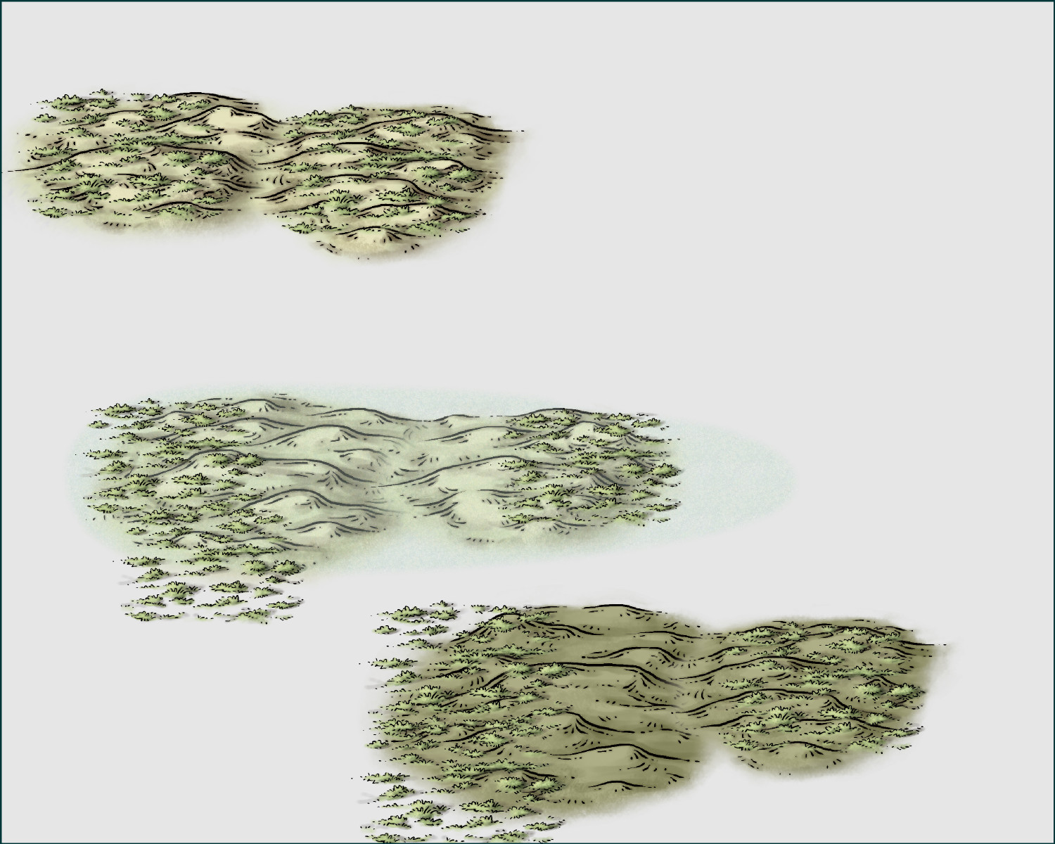
2. green hills covered with grass. Currently I can only get close to this image by opting for multicolor, overlaying grass on top or even using terrain marshe above the hills on a special sheet and regular inner opacity at 40% or less. (middle example), all... unsatisfactory for me. I also highlight the building in the lower left corner, which is very beautiful. The cave with a lurking monster and, finally, the underwater vegetation as well as the swampy lagoon. perfect for greater detailing of swamp areas.
As a consumer, I wouldn't be against Mike Schley launching a new Symbol expansion set with versatile elements for overlanding... and dungeons... and isometrics :)
-
Tutorial - Between hills, rivers and trees


