Ricko
Ricko
About
- Username
- Ricko
- Joined
- Visits
- 6,740
- Last Active
- Roles
- Member
- Points
- 10,565
- Birthday
- February 7, 1977
- Location
- merlo san luis argentina
- Rank
- Mapmaker
- Badges
- 22
Reactions
-
Community Atlas - North West Berenur - Azin Forest
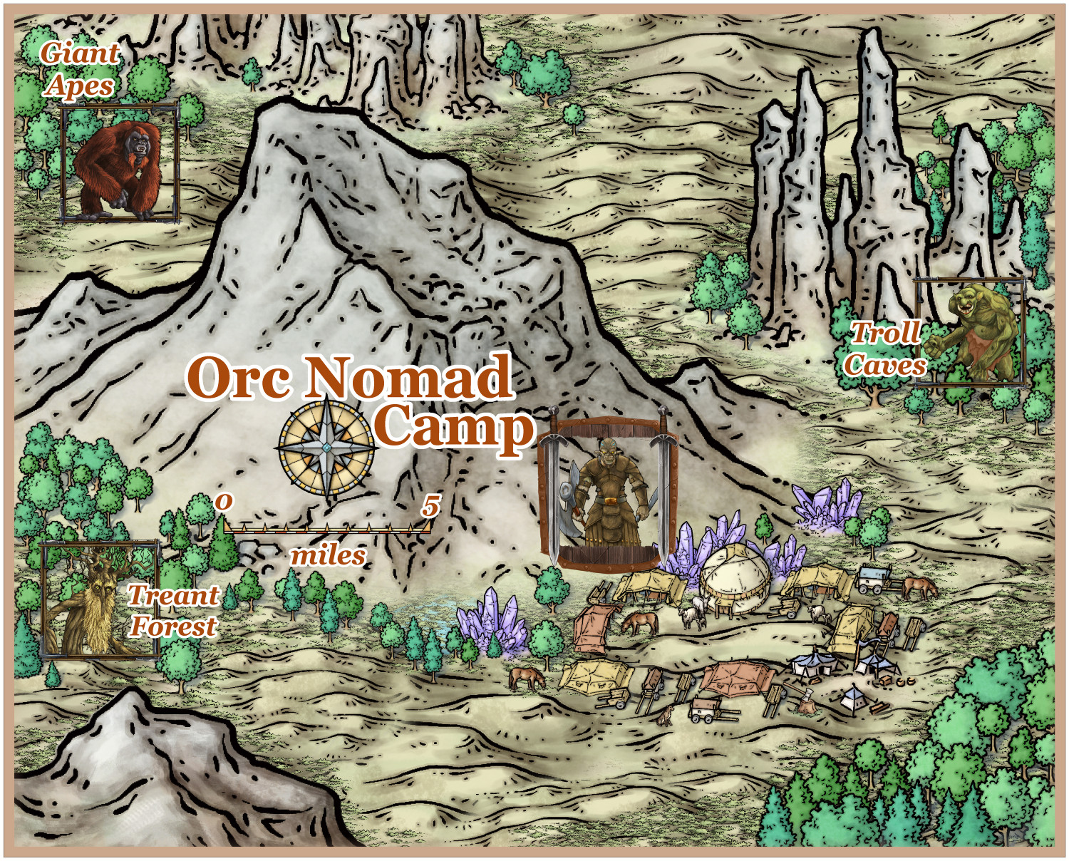
Descriptive map - Middle South East camp on Ethe hills map.
They invite me bone soup, very tasty :)
-
Battlemap collection for personal use
-
Community Atlas - Ezrute - Brukon Region
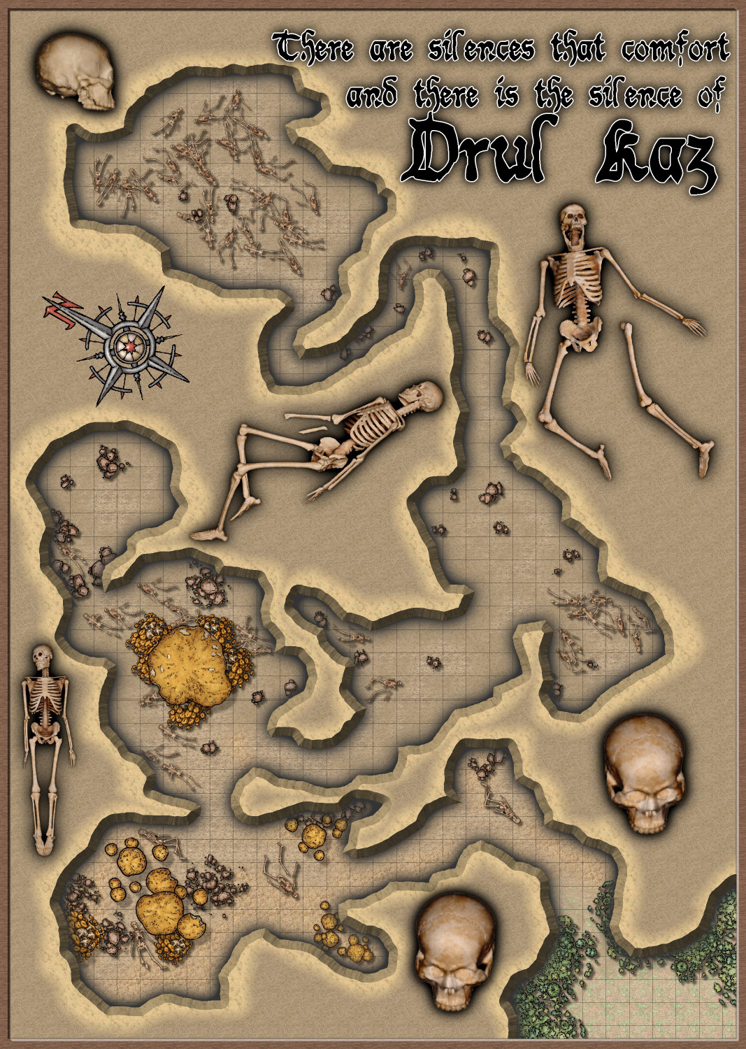
Drul’Kaz – The Cave of Bones
Many years ago, the winter that claimed the Drul’Kaz family was the cruelest the plains of Brukon had ever seen. It came swiftly and without warning, a storm like no other where the winds cut like a butcher’s knife and the snow piled up like never before, swallowing the paths and silencing the forests. No game roamed the fields. The rivers froze to their beds and even the hungry wolves that prowled the camps were found dead, petrified by the relentless cold.
It was in this season of death that a large orc family, 61 souls in all, found refuge in a deep cavern hidden among hills of black stone. They were on the move, fleeing the cold, trying to reach milder lands before the worst of winter reached them. But the storm surprised them. The wind howled like a hungry beast, blinding them with snow and biting ice. The elders stumbled, the children cried, and the strongest warriors barely made their way.
Their leader, Urgor, a seasoned hunter, knew they could not go on. If they tried to advance, they would die one by one, buried in the snow. Then they found the cave—a dark cleft between the rocks, just wide enough to shelter them. Here, they thought, they could survive until spring came. They lit fires, cooked the last bits of dried meat, and waited.
But spring never came for them.
Days passed, and the flames began to fade. The wood was brought in, and the cave grew cold as a tomb. The air grew heavier each night. The voices became whispers. Then, one by one, they began to disappear.
The children were the first. Alone in the darkness, their eyes open but their bodies still. Then came the elders. Urgor ordered that no one should sleep alone, but it was useless—every day, fewer orcs remained to watch over the living. Some tried to escape, but the storm outside seemed more cruel than what awaited them inside. Others begged the spirits, but their prayers went unanswered.
When winter finally gave way and the snows began to melt, a group of hunters found the entrance to Drul’Kaz. The smell of death did not greet them. Only silence. They entered the cave expecting to find scattered bones, remains of a tragedy like so many others in the cold of Brukon.
What they saw probably haunted them for the rest of their lives.
The 61 orcs were still there. Their bodies were perfectly preserved, as if they had just gone to sleep. Their eyes were open, fixed on the ceiling of the cave, their expressions frozen in a mixture of surprise and horror. No sign of struggle, no apparent illness. Just an entire family, eternally trapped between life and death.
News like this soon spread, and so the stories began. Some shamans said that Drul’Kaz was a sacred tomb, a portal between the living and the dead. Others say that those who died there were not truly dead—that they could still see, hear, and feel the passing of the years, but were unable to move. Some swore they saw the eyes of the dead blinking as they entered the cave.
Since then, Drul’Kaz has become a place of fear and reverence. No tribe approaches without need. The boldest shamans sometimes go to its entrance to seek visions, but few dare enter. For the orcs, the fate of warriors must be to return to the earth to be covered once more by snow. But those who died there never returned. They never left. And if they are still there, waiting, no one cares.
-
Map for a friend part 34536....
-
Herwin Wielink Series
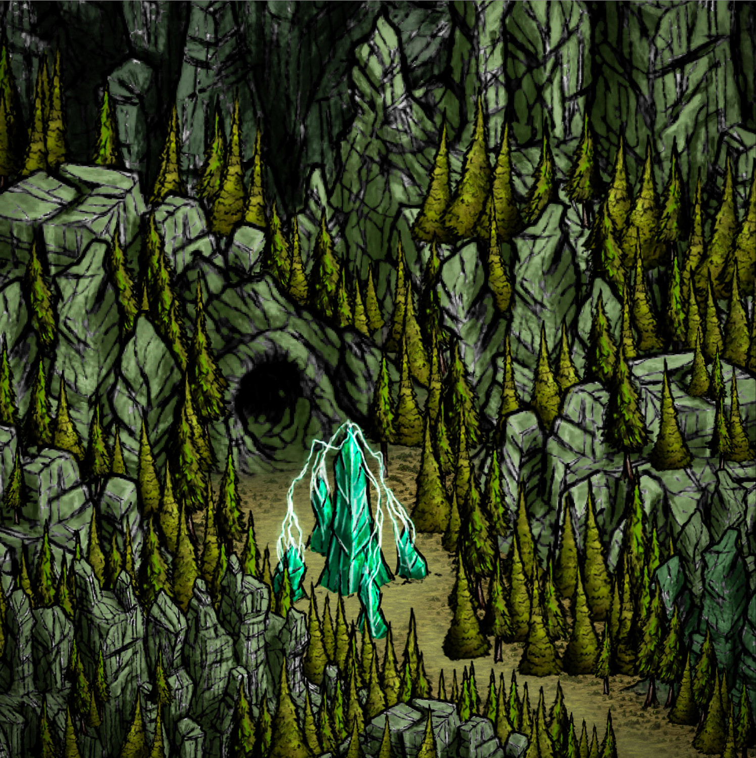
I tried to create a dark forest environment, or "that dark movie theater environment", this time without using clouds :) and at the same time keeping the design simple without many icon options. I used only the 3 Mesas symbols by Herwin Wielink, plus the pine tree icons, the cave and the crystal, varying their positions, colors and directions of the symbol (mirror).
-
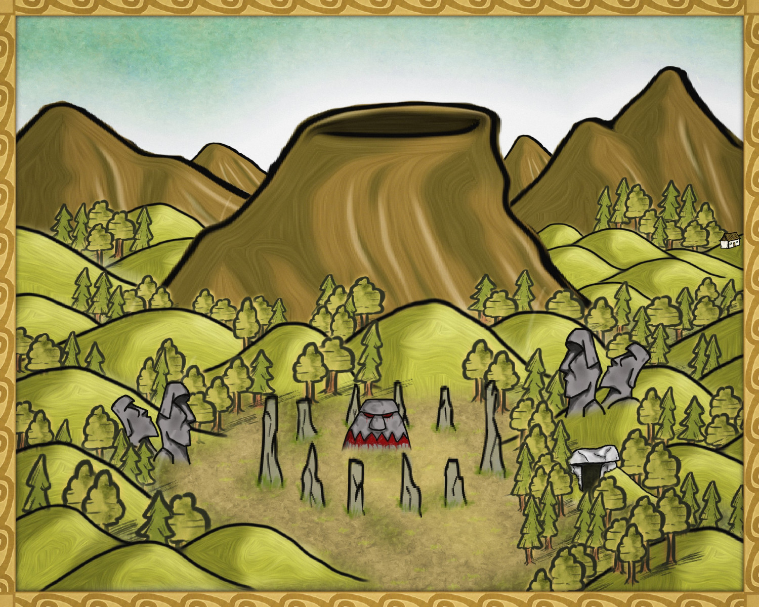
Volcanoes
-
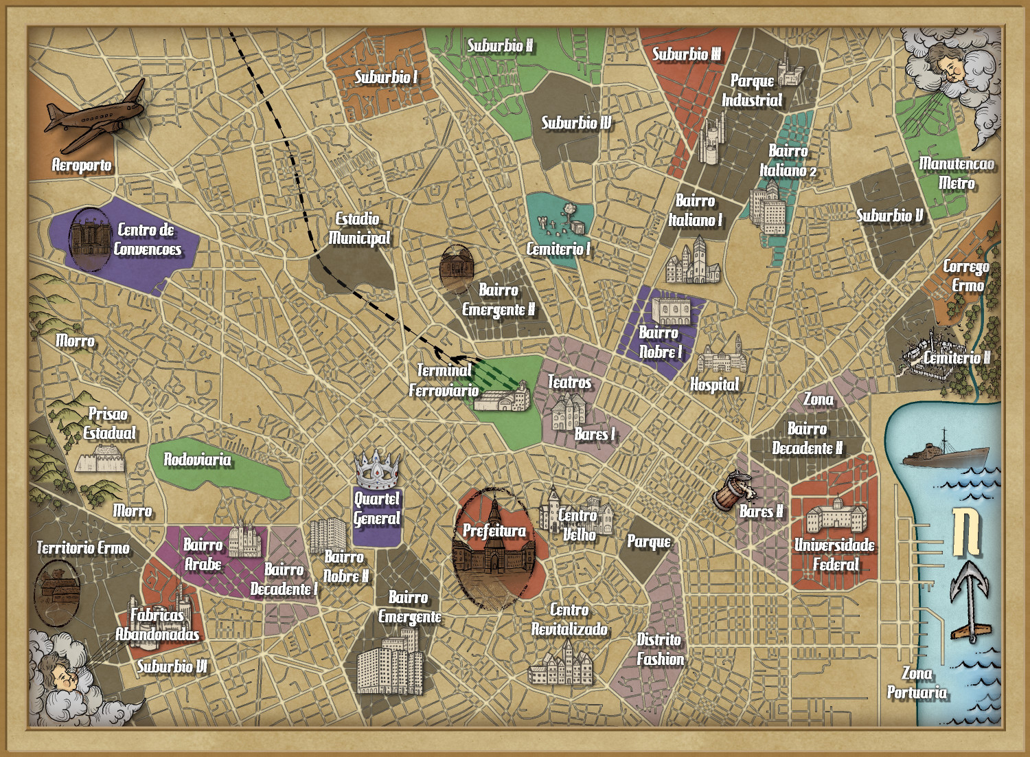
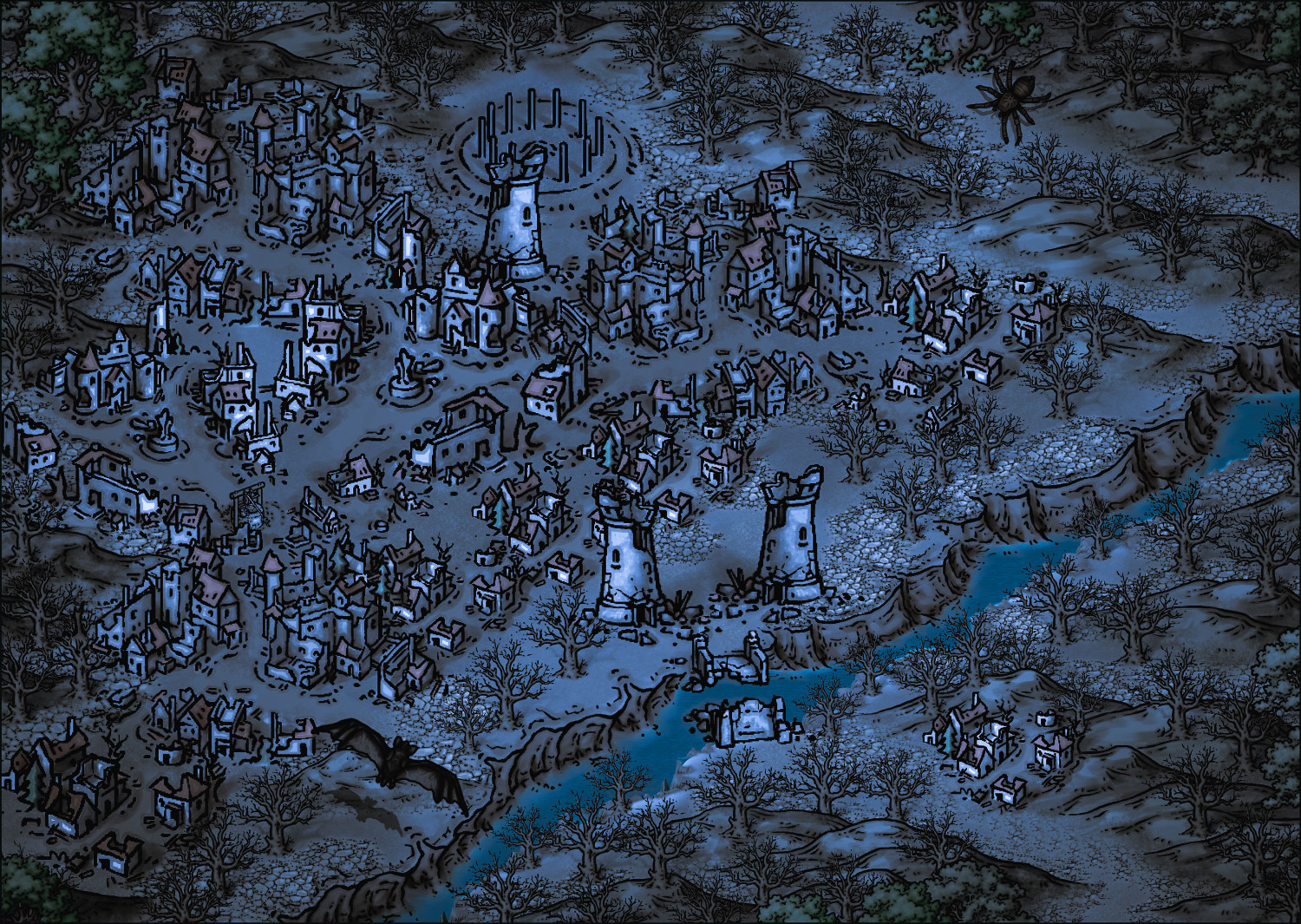
Vampire City
-
MY MUNDI IS READY!
-
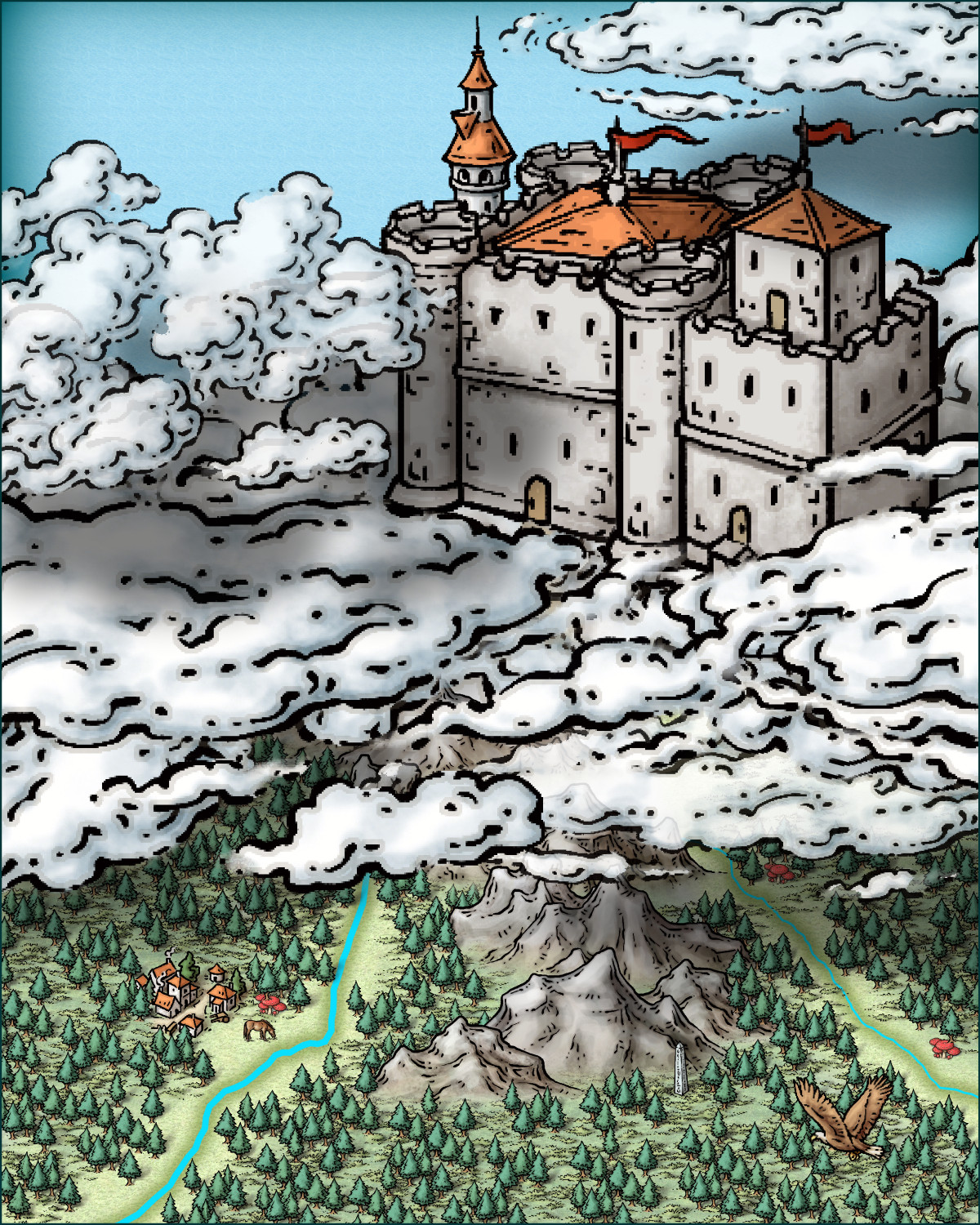
Castle in a Cloud
Hy @Royal Scribe !
I was looking at your post and was intrigued by the challenge. I had never thought too about creating a castle in the clouds before. So while watching a boxing match I made this small "Close up" image (size 40x50 - metric). I only used images from Mike Schley style and attach the FCW file in case you want to take a look.
Cheers
-
WIP - Largo the Cursed Village


