


Quenten
Quenten
About
- Username
- Quenten
- Joined
- Visits
- 8,062
- Last Active
- Roles
- Member
- Points
- 3,090
- Birthday
- November 29, 1950
- Location
- Australia
- Real Name
- Quenten Walker
- Rank
- Mapmaker
- Badges
- 16
Latest Images


Reactions
-
Reinstalling - query re Symbol Set 3 modern & Cosmographer Pro
Sue, your lineup is missing Perspective, and Token Treasury 2


-
Making outlines thicker?
What i do is add the outline like you do, then press change properties, then P for prior, and make the outline whatever colour, sheet, line thickness, line style i want. Also important to press solid in the change properties dialogue if you change the thickness from 0 to anything else
-
[WIP] Community Atlas Competition - Artemisia - Spiros Isle - Aretizo village
Thanks Ricko - praise from you is much appreciated.

-
Is CA 213 just a collection of already existing symbols?
Mmmm. Lovely map, but a bit disappointing as an annual. Hope we aren't running out of ideas for annuals. Perhaps we need to start a thread with annual ideas again.
And where is Gwynnin?


-
Hedyrood House - using Dracula floorplan
I have found another place to map - an historic house in Cornwall, Lanhydrok House, with a fascinating history. I will do it in the Dracula style, and alter the history somewhat, for my own campaign, and also the Community Atlas. Stay tuned!!! Thanks for the inspiration, @Ralf

-
Sticky Note Dungeon
I think this could perhaps be turned into an Annual. What do you think, @Ralf

-
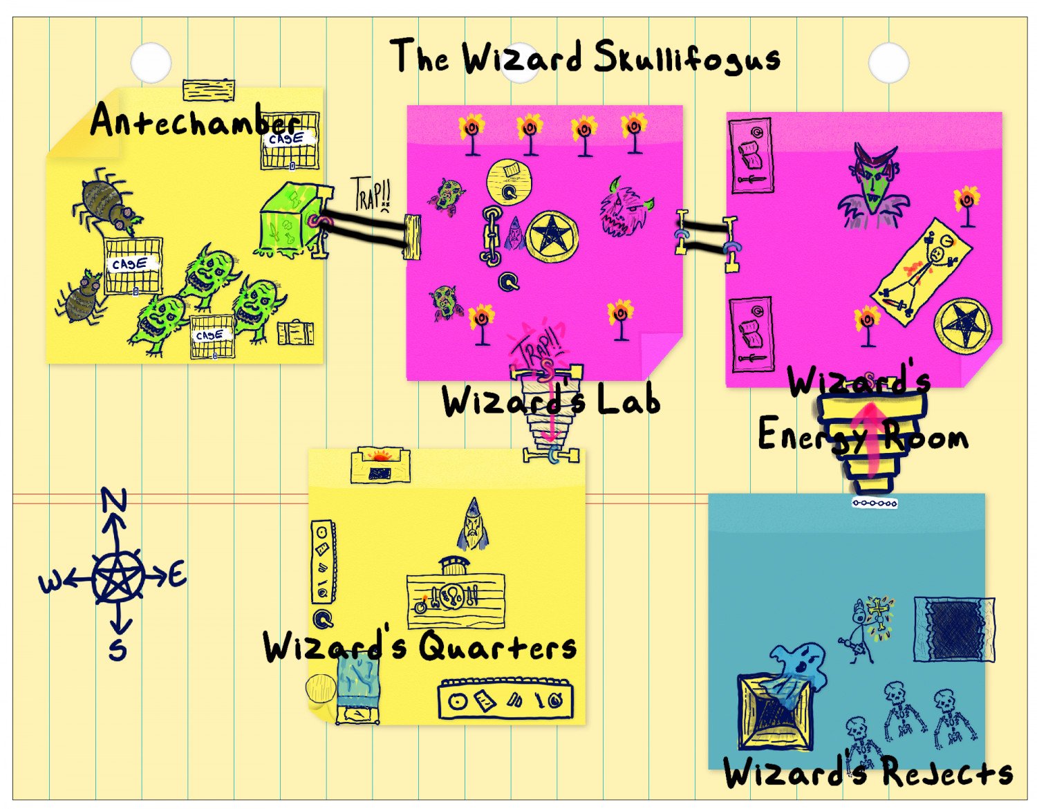
Sticky Note Dungeon - the evil Wizard Skullifogus
I can already see a design flaw - so this annual is proving its worth right now. I will also do the dungeon in another more forma; style. Thanks for the annual, CC. It took only minutes to make the changes.

-
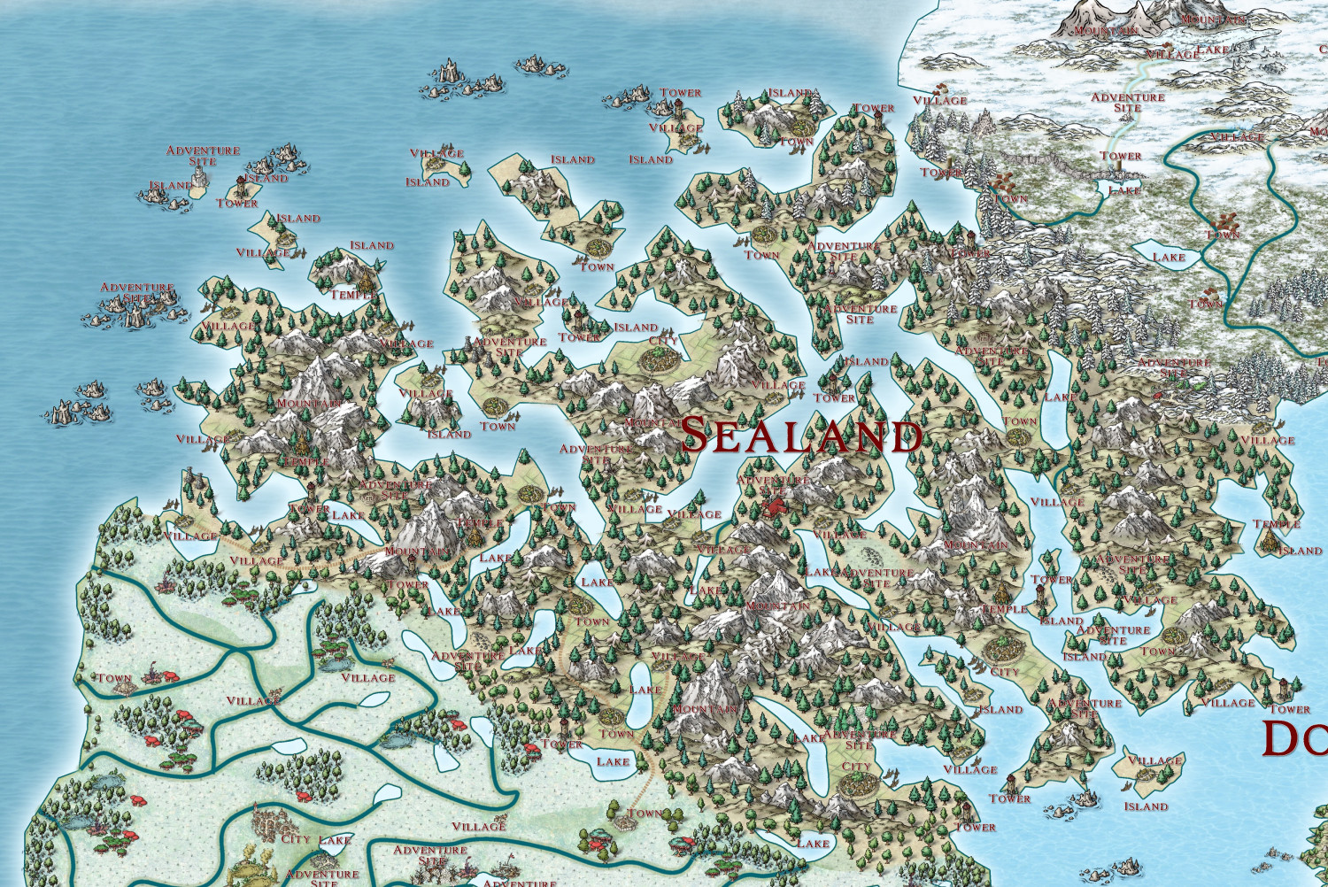
The Ten Kingdoms
Sealand Kingdom.
-
Birdseye Continental - style development thread
Very much want top down mountains, hills, waterfalls and cliffs.
-
IDEA: Terrain over cutout rivers
I have just tried Royal Scribe's method - and it works beautifully.

