Quenten
Quenten
About
- Username
- Quenten
- Joined
- Visits
- 7,212
- Last Active
- Roles
- Member
- Points
- 2,865
- Birthday
- November 29, 1950
- Location
- Australia
- Real Name
- Quenten Walker
- Rank
- Mapmaker
- Badges
- 16
Reactions
-
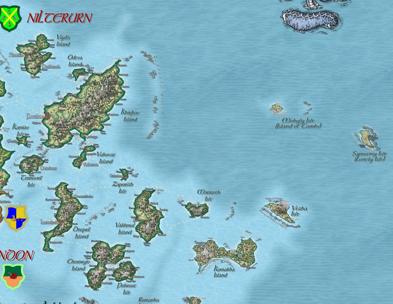
Hardin region of Myirandios
Here is the final part of the map - the Kingdom of Nilterurn - a Slavic ship kingdom, and instigator of many raids on other lands for loot and slaves.
A larger version in the Gallery: Image Gallery: Hardin — ProFantasy Community Forum
-
Using Mike Schley symbols
-
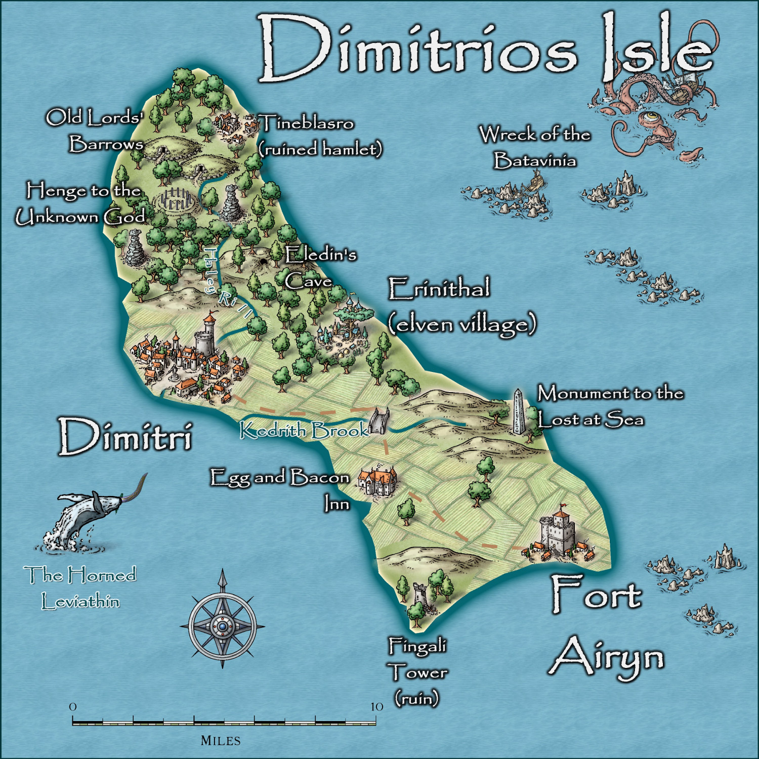
Community Atlas - Irisian City States - Dimitrios island
-
Dungeon Level Symbols
-
Is there a runic font?
That is exactly what Explode Text does, but it makes editing them more difficult. SO make sure you get it right before exploding. I did that in the Atlas Magumul Empire of minotaurs in the north-western part of Artemisia.
https://atlas.cdn.monsen.cc/atlas/artemisia/hi/magumul%20empire.png
-
WIP: Bleakmoor Harrow - Continent of Estonisch
-
Birdseye Continental - style development thread
-
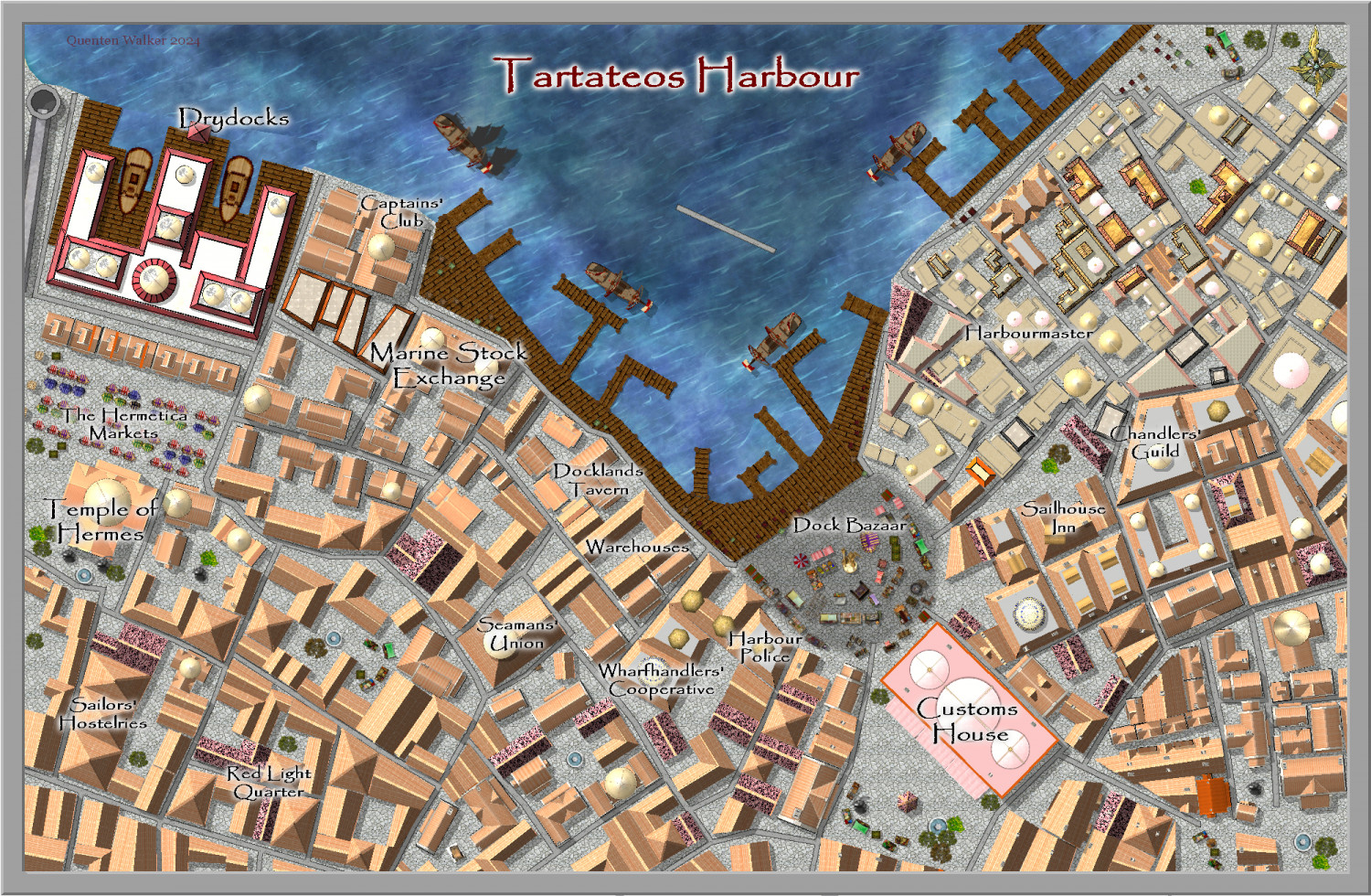
Community Atlas City of Tartateos - Shipyards District
Is this better @AleD ? I have also changed the location of the Customs House to match the parent map.
-
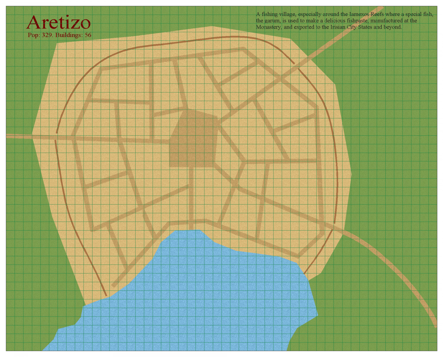
[WIP] Community Atlas Competition - Artemisia - Spiros Isle - Aretizo village
-
Planet of those Apes


