Quenten
Quenten
About
- Username
- Quenten
- Joined
- Visits
- 7,215
- Last Active
- Roles
- Member
- Points
- 2,867
- Birthday
- November 29, 1950
- Location
- Australia
- Real Name
- Quenten Walker
- Rank
- Mapmaker
- Badges
- 16
Reactions
-
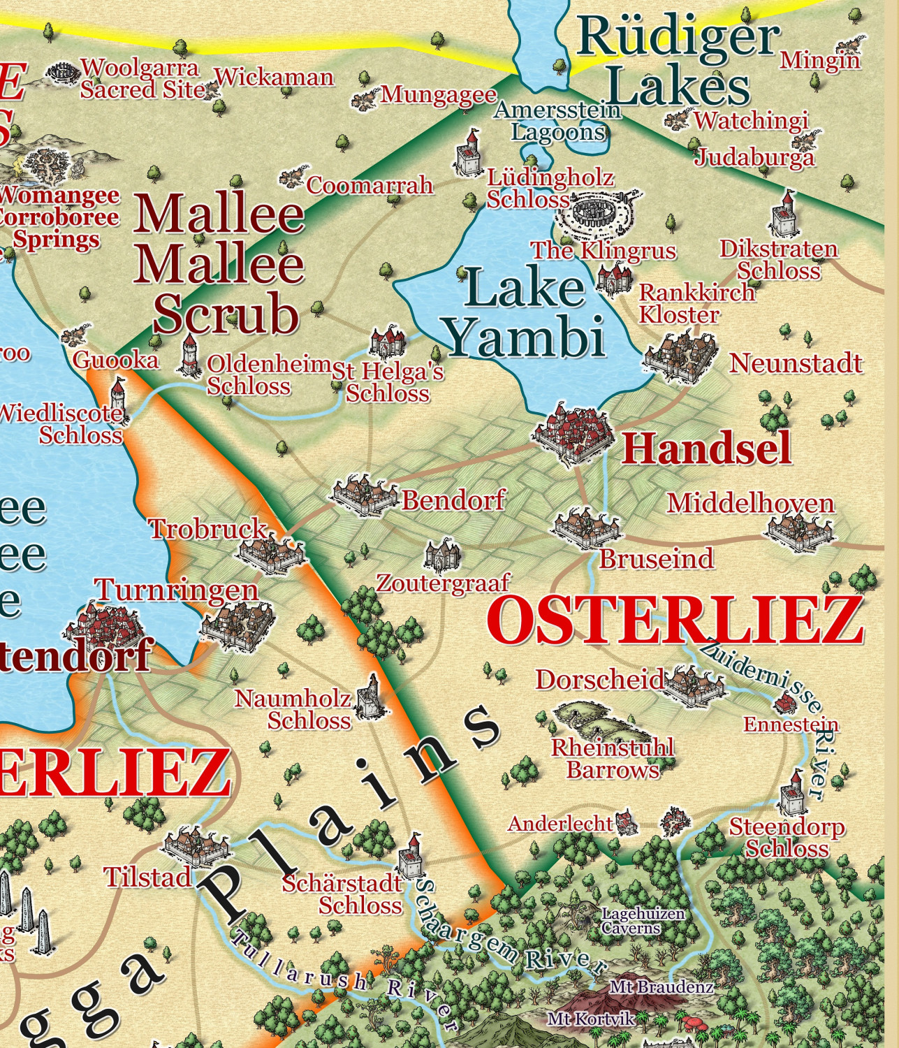
Ostralura - north-eastern region
-
Community Atlas - Forlorn Archipelago - The Bleakness - Dungeon of the Dragon
Or else, resize the scale bar AFTER you resize everything. And I use Remy's SCALEDRAWING command (not official CC3+ command, unfortunately - it has always worked brilliantly for me, and takes care of bitmap scaling as well.
Here is the bit he wrote about it in his dissertation on scaling. (SCALE MATTERS, May 2018)
The Automatic Option
Because rescaling a map is actually a lot of steps, especially if you need effects and fill rescaling too, I’ve created a CC3+-addon to do all of this automatically, you only need to determine the scale factor.
To use it, download the file from this address, and put the .dll file from the .zip inside your CC3+ installation directory (C:\Program Files (x86)\ProFantasy\CC3Plus by default).
You’ll also need to have the Visual C++ 2017 runtime installed on your computer. You may already have this, but if you don’t, you’ll get an error message when starting CC3+ with this .dll in it’s directory. Download from the official Microsoft download site, you’ll need the 32-bit version (vc_redist.x86.exe)
After installing the .dll and the Visual C++ runtimes (if required), you can run the command by typing SCALEDRAWING on your command line. The command line will then ask for the scale factor, which you can provide either as the number, or the calculation as with the non-visual scale command. Once you hit enter after providing the scale factor, the command will take care of the rest. Note that it doesn’t update the display when done, so simply hit the Zoom Extents button after running the command. The map should look visually identical to what it did before, as this command handles the scaling of entities, effects and fills automatically, only way to see that the command did anything is to measure distances again after running this command (and AFTER hitting Zoom Extents). Because it doesn’t do any screen updates, it should also be lightning fast, but remember, you won’t see the result until you hit Zoom Extents. If you hit Redraw instead, you can easier see the result of the scale operation, because this leave your current zoom intact.
Profantasy's Map-Making Journal » Blog Archive » Scale Matters
-
Ukadarlia
FYI:
1. Black – Swabentu - speak Swaheirian [Swahili]
2. Brown – Dingadau - speak Dingadoo [Maori]
3. Olive – Norvia - speak Norvian [Italian]
4. White –
a. Vynlings – speak Vinelandik [Icelandic]
b. Kratirim – speak Ukratina [Ukrainian]
c. Qesuik – speak Iluisq [Mongolian]
5. Aeifa (Elves) - tan skin - pseudo Irish
6. Davarin (Dwarves) - albino – pseudo Georgia
7. Grim (Orc) grey skin – pseudo Hungarian
8. Drakonis (Reptilian) - iridiscent colours as seen in beetles – pseudo Persian
-
Ukadarlia
I may have made their heads a bit big for the bodies - i had to scale them different X and Y axis to get a more rounded face, rather than oval as is standard CA
All fixed to my satisfaction - except the scale of the man is a bit smaller than the woman - not so on the maps which will feature them, however.
-
Water Temple
-
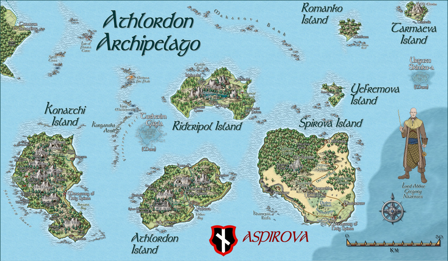
Myirandios - Hardin Region - Athlordon Archipelago
Here is my latest addition to the region of Hardin, my personal project. I am hoping to complete all the land regional maps in the next 6 weeks!
You may recognize Spirova Island as Spiros Island of Atlas origin. I have taken this to include in the map, and turned it into a three Island 'nation' led by a rather tyrannical theocracy. (any resemblance to a future nation on earth is totally coincidental - honest).
Next map is a more 'Ukrainian' based culture or the Cossack times.
A zoomable version is in the Gallery.
-
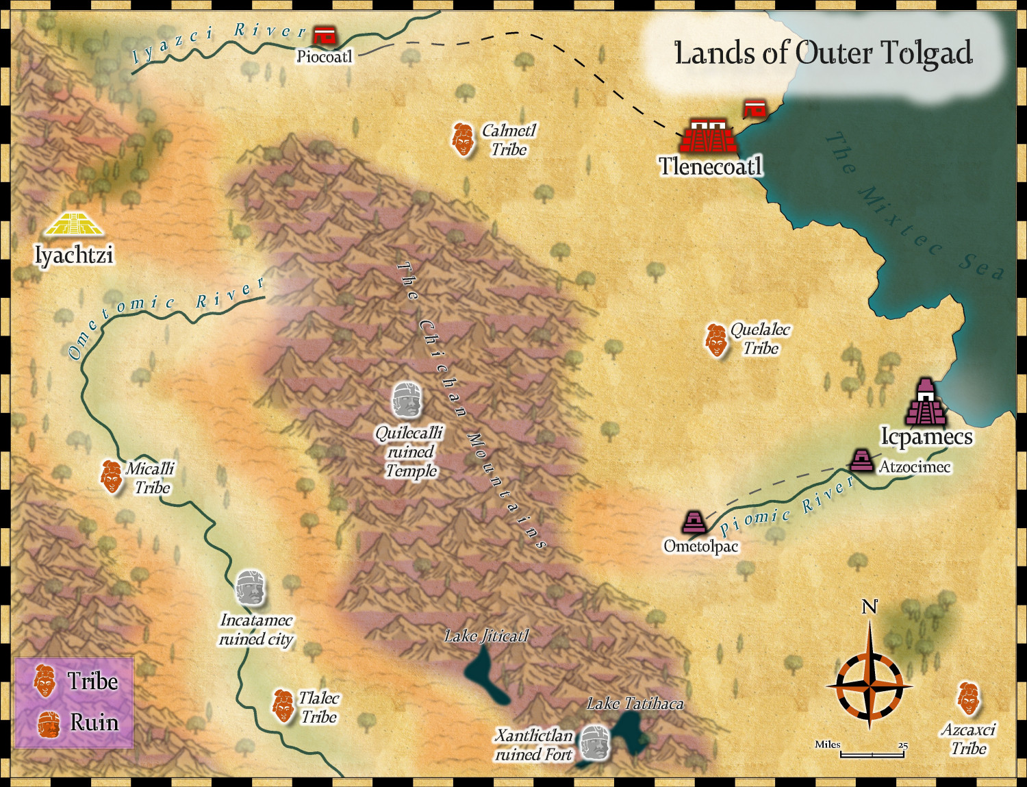
Community Atlas - Kumarikandam - Northwestern Tolgad
I have changed my mind about this map completely, and chosen the Mythic maps style instead. I will use Myrklund on a more jungle type area, which this is not supposed to be.
I used hill symbols from Sarah Wroot style, to make up for the fact there were no hill symbols in this style.
I think this is ready for Remy.
Comments and suggestions welcome.
-
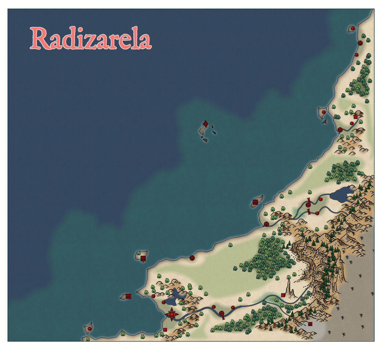
Community Atlas - Doriant - Radizarela
-
Your favourite settings? (worlds)
I too bought the original three book D&D set along with Chainmail back in the 1970's. But my favourite world setting (apart from any of my own), is Mystara, which has an enormous fan-club. And the best adventure of all time (IMO), the Night's Dark Terror. I admit I could never get into Forgotten Realms, and Greyhawk didn't have enough published for me to get that interested, although i did run a Wild Coast campaign based on the city of Safeton, for about a year while I was at uni (as a tutor, not an undergraduate - that goes back to the 60's!)
-
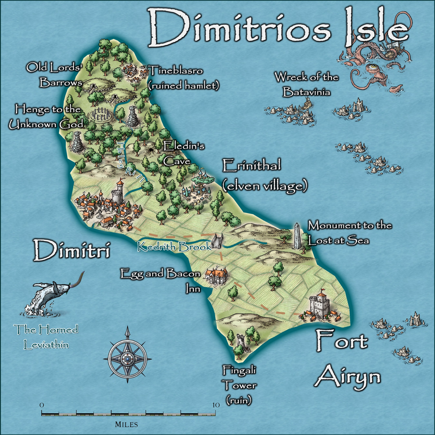
Community Atlas - Irisian City States - Dimitrios island


