Avatar

Quenten

Quenten

About

Username
Quenten
Joined
Visits
6,876
Last Active
Roles
Member
Points
2,749
Birthday
November 29, 1950
Location
Australia
Real Name
Quenten Walker
Rank
Mapmaker
Badges
16

Latest Images

  • Community Atlas - Stromphe City - Captains Dock District

    Finished at last. Here is the FCW for @Monsen if he wishes to add it to the atlas before the competition begins.


    Royal ScribeLoopysueGlitchRicko
  • Watabou City REVISED (annual 157)

    The next step is to convert the SVG into a DXF. I use the tool mentioned in Annual 157:

    Cloud Convert: SVG to DXF | CloudConvert

    Open a map in the Style Cities >Annual Watabou City Revised. (When it comes out). For cities, I estimate the size using the scale that comes with the generated map as a guide. The scale in the generator is in Metres, so multiply by 3 to get feet (a rough estimate is all that is needed).

    The example map is about 1000 m wide, or about 3000 feet. Against my long held principles, I will do the example in Imperial measurements, to cater for all you imperialist lackeys!! 🤣 So the map will be 3000 wide x 4000 tall.

    Make sure the Layer is set to 0, and the Sheet to IMPORT.

    Use Draw Menu, Insert File, to insert the DXF at origin 0,0 (the default).

    Right-click the scale button and choose Non-visual Scale. Right-click on the map to open the selection menu and choose Prior. The just previously placed import is now selected. Right-click again, select Do It and enter a scale factor of 5-10, or whatever seems appropriate to fill the map with the city. The previous annual showed the DXF as a small Dot, and required a scale factor of 400, but the revised version shows the DXF much larger, and requires a bit of juggling to get it just right. Make sure you scale origin is still 0,0 though. The map should now appear, roughly matching your drawing area, with some of the entities extending beyond the map border.

    Here is the map of Lowrock with the dxf imported onto the IMPORT Sheet, 0 Layer.

    And here it is, rescaled non-visually by a factor of 10, and then moved, non-visually, up a bit on the map to centre the city better.


    MonsenRaiko
  • CC4 Overland Development Thread

    Hi, Sue. I have one request - don't make the hills too 'peaky', but make them more smooth - I hope you get what I mean - unless you do 'foothill' which are more 'peaky', and lesser hills which aren't so pleaky.

    Why don't you expand the Spectrum style for this?

    Royal ScribeCalibreLoopysue
  • Community Atlas - Irisian City States - Dimitrios island

    The final map. Map notes to come, then off to the Atlas. Next island coming up.

    For those (including me) who wonder how much could be reasonably fitted on such a small island, I attach this map of the Scilly Isles. the largest island, St Mary's, has many interesting prehistoric ruins, and other features, and is only a fraction the size of this island.


    LoopysueRickoDon Anderson Jr.
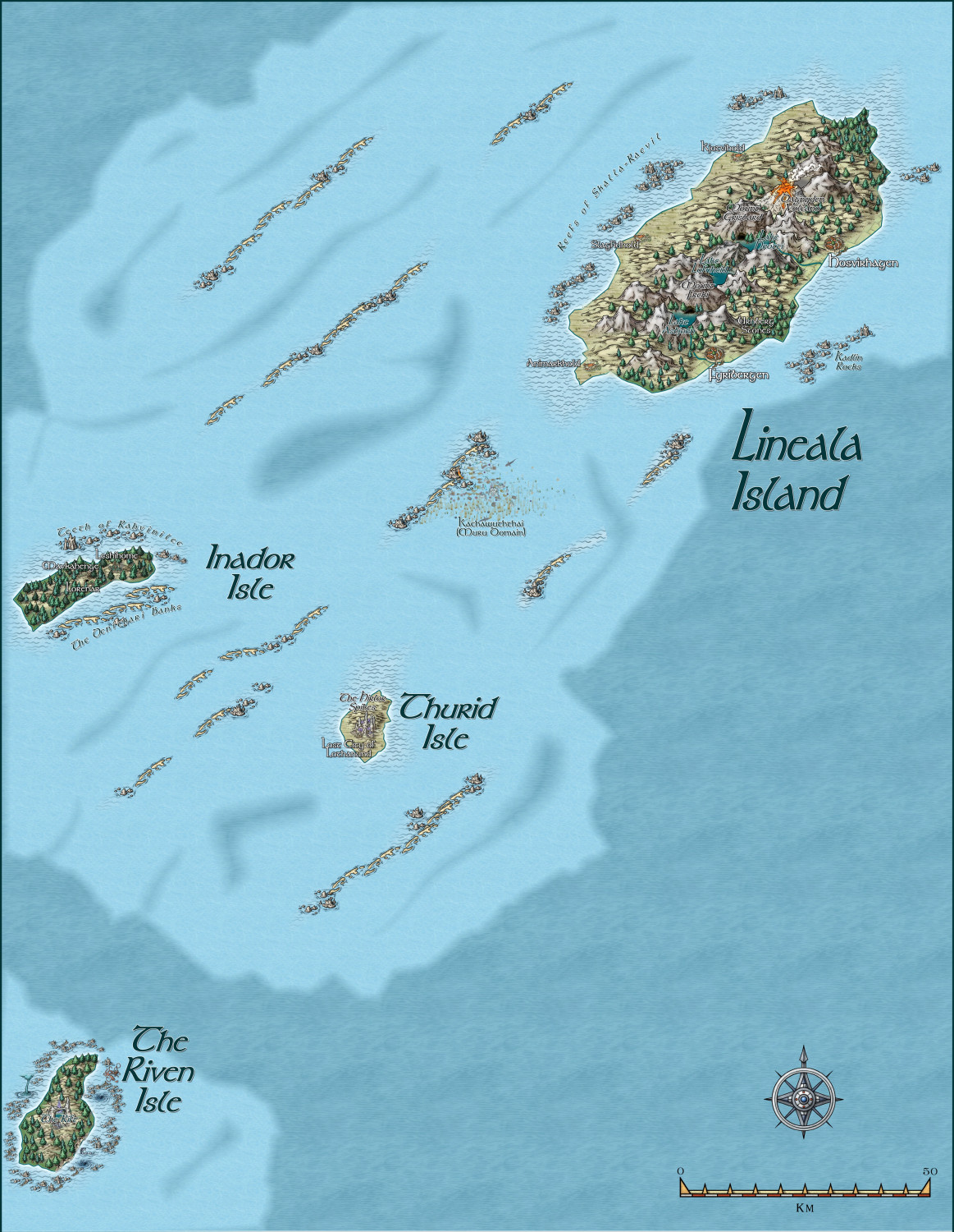
  • Weldarmon-Gyaflaggio region

    This stream will be dedicated to this region only.

    I am still undecided whether to use Schley Symbols for the structures, or more generic ones, as shown here. Opinions very welcome, and in fact necessary. In places I have used both, with one or other to be removed once you all help me make my decision.

    Here are a few areas already mapped out fairly completely, with the last the least complete to date.

    This is THE core area, with many adventure sites already mapped and keyed in with both map and text links.

    This is the whole of Gyaflaggio - not complete in the western area of the map.

    These are small nations to the north of Gyaflaggio


    This is Western Bolasov - the least complete so far, and no use of Schley structure symbols. Comments on that please.


    MonsenRickoJimP
  • Myirandios Regions mapped in detail.

    I have decided to not continue with my other worlds, but go back to my original Myirandios world, which has so much lore already. This is what I hope to publish as an RPG supplement next year.

    There will initially be three main regions - two are outlined in red, the other is Logrid and Evain to the south.

    I will be using some of the ideas and maps and races I designed for the other worlds, so as not to waste stuff, and also because they are all designed with Myirandios at the back of my mind anyway.

    So here are the two Regional maps. The bigger one on the lower left is cut into two. Each grid is 1600 km x 1600 km (approx 1000 x 1000 miles).

    I have supplied the altitude and climate maps.

    These are the two regions, at their very beginning.

    The Hardin region first, inspired by Harnworld.

    This is the larger region, divided into two halves.

    As you can see, I have already done a lot of work on these already.

    The Weldarmon-Gyaflaggio region, which contains the core playing area:

    As you can see, it uses primarily symbols from Mike Schley.

    I will work on this under a different discussion thread.

    The second area - Deithardt-Kolsven region - to the east of this, uses both symbols and also bevel-lighted contours for the mountains, instead of Mountain symbols. I would be interested in your thoughts on this. I will eventually decide on one style for all the maps, of course. But input will be very helpful.

    Here is an inset showing the bevel way of doing the mountains, combined with symbols for other things.

    I do need to finesse this more, I do realize.

    Still not sure which way is best.

    whit2468JimPCalibre
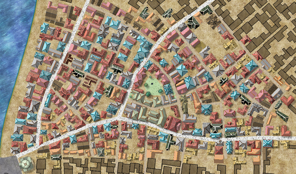
  • Community Atlas - A huge metropolis somewhere

    Here is the first update on a more ordinary part of the city. I used the house tool almost exclusively, to keep as much to the Watabou layout as possible. The only special building is the Temple in the lower left hand corner.

    I will next concentrate on all the street furniture and background - dirt, grass, mud etc.

    Finally, I will do the text, labels, and also use the city commands to assign buildings to various function types.

    So far, no slowing of speed in redrawing. with all effects on.


    Royal ScribeJuanpi
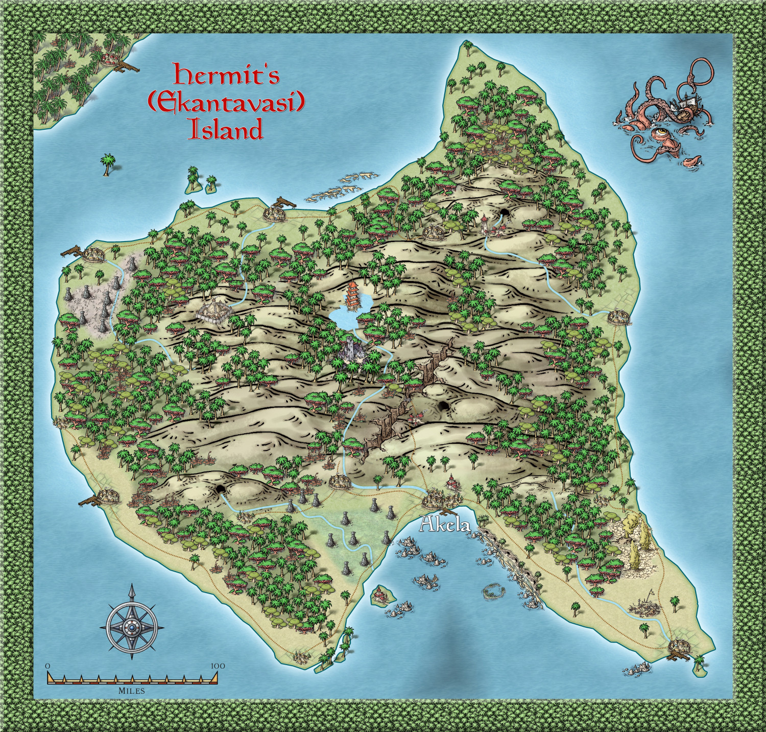
  • Community Atlas - Alarius - Hermit Island

    An update - only text to go, I think. Hope there are plenty of interesting places to explore, but I won't be doing map notes.


    Royal ScribeDaltonSpenceRicko
  • [WIP] Community Atlas Competition - Artemisia - Spiros Isle - Aretizo village

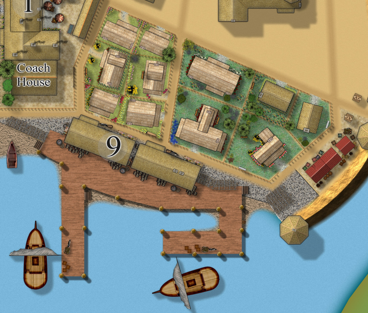
    The wharf area done, showing the main industry of the town - fishing, and fish processing. Fish paste - yum yum. 🤮

    And cute thatched cottages with their gardens - the villagers are proud of their community, though they hate their oppressors.


    Royal ScribeRickoLoopysue
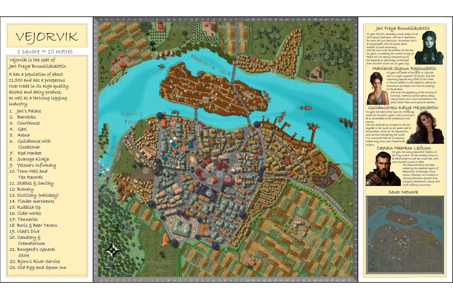
  • Hardin Region (Myirandios) - Isle of Kalihirin, and Isle of adventure for low level characters.

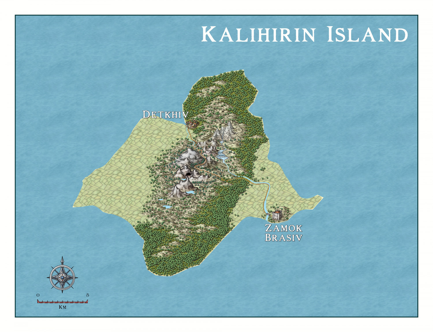
    Here is a setting for a series of low level adventures to get a beginner D&D party on its way to fame and glory ... or grisly death.

    Kalihirin Island (nowhere near complete, of course). Of course, adventure sites etc are yet to be added.

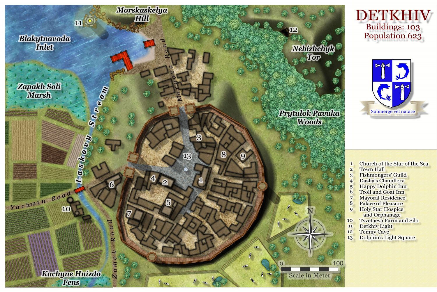
    Detkhiv, the main settlement with a population of over 600.

    I have made use of the draft version of the Watabou revised city annual to come later this year.

    RickoRoyal ScribeLoopysueJuanpi