Quenten
Quenten
About
- Username
- Quenten
- Joined
- Visits
- 7,211
- Last Active
- Roles
- Member
- Points
- 2,865
- Birthday
- November 29, 1950
- Location
- Australia
- Real Name
- Quenten Walker
- Rank
- Mapmaker
- Badges
- 16
Reactions
-
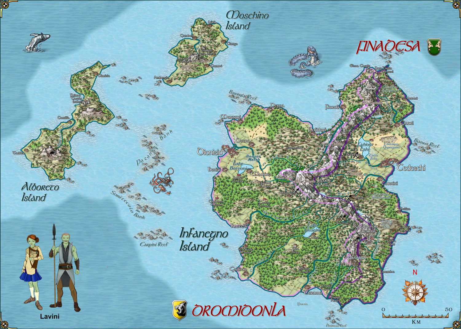
Hardin region of Myirandios
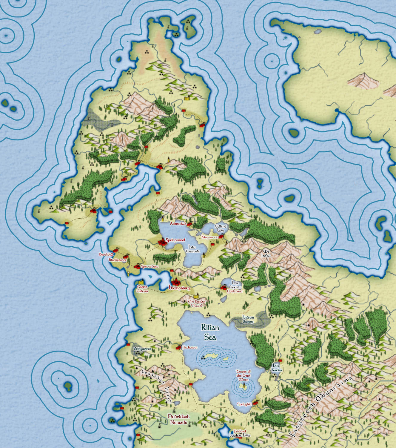
Second last map in the region to be completed - the Lavini (Italian-like) nations of Finedesa and Dromidonla. Needless to say, the outlying islands are run by the 'benign' La Familia (aka the Mafia).
Larger version in the gallery.
-
FT3 to CC3+ as per recent Live Mapping Tutorial
-
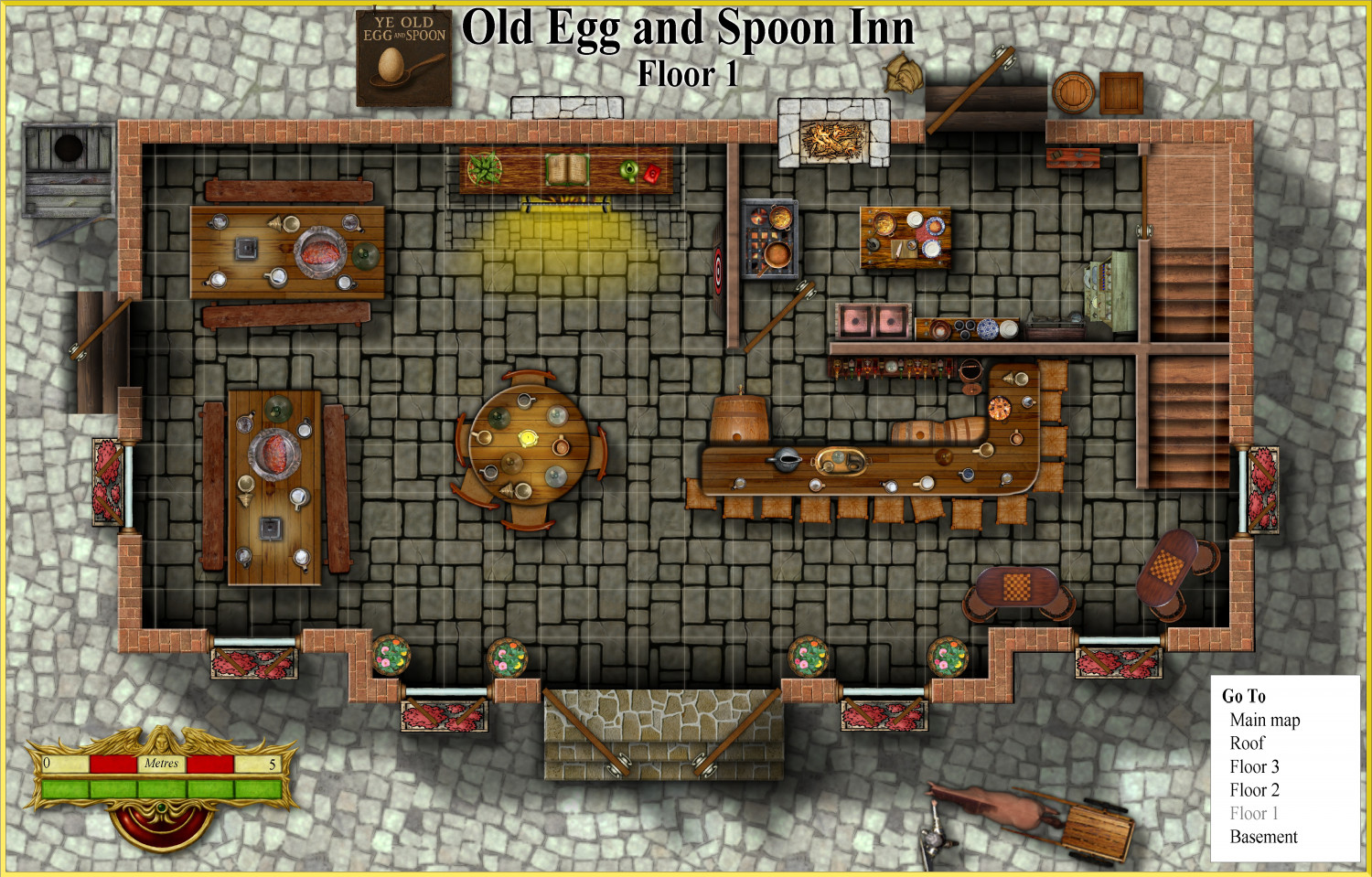
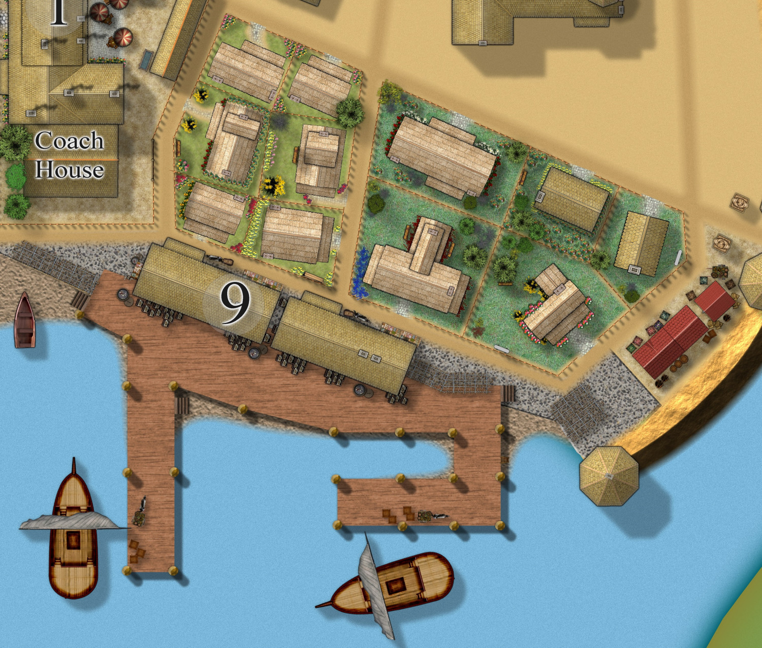
Vejorvik - Ye Old Spoon and Egg Inn
Hi, I use the city of Vertshusen in mt own campaign world as the City of Vejorvik. I need an Inn for the players, so have chosen one building, which is now the Old Egg and Spoon Inn. I will also be submitting it to the Atlas when all floors are finished.
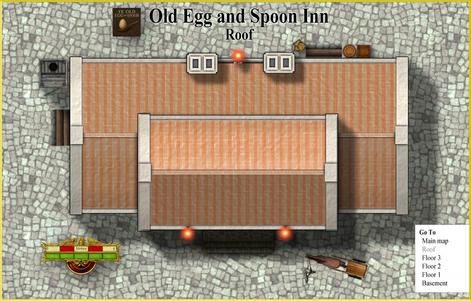
Here is the first floor, and the roof.
The sign I did using AI. @Monsen can I send it with the Atlas submission as a png to be added to the community Atlas shared symbols etc?
-
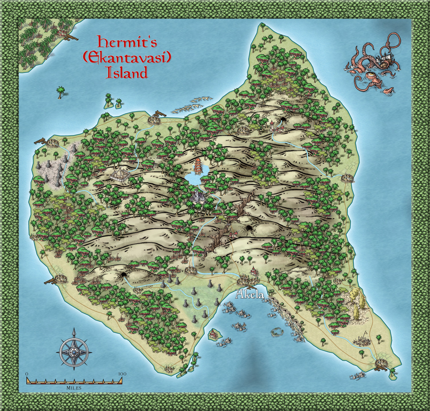
Community Atlas - Alarius - Hermit Island
-
Developing new Overland bird's eye view Overland style for my world maps
-
[WIP] Tatilana, a new world
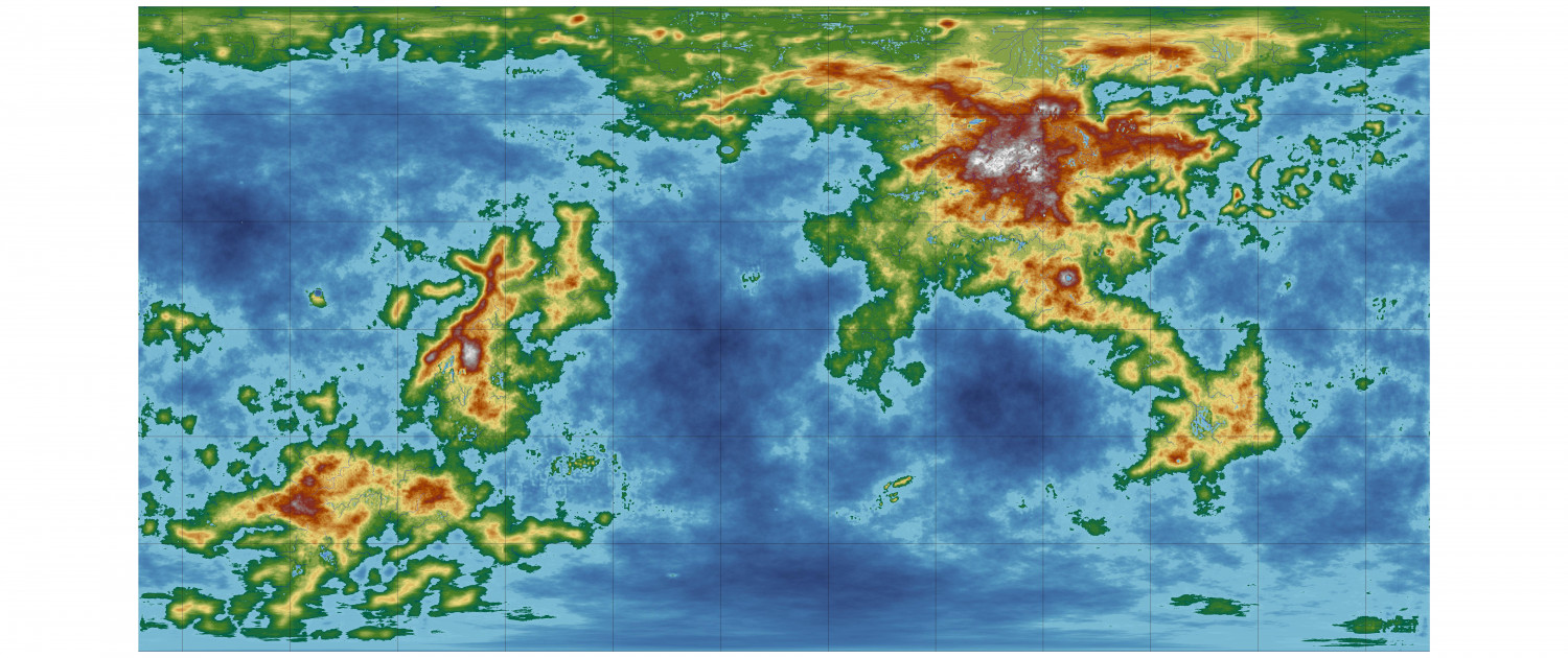
Tatiana and I have decided to collaborate on creating a new world, using this map I have created using FT3. (just got to get it into Wilbur and back again).
It is named Tatilana after Tatiana, and our adopted daughter, Ruslana.
We aim to produce many regional maps, and also details of cultures, physical characteristics, histories and also adventures, to turn into a Game Aid for Roleplaying games, hopefully to publish, with illustrations done by Tatiana (who is very artistic).
Here is the final FT3 map to be 'Wilburized'. I have added lakes, but they are not on the MDR. As you can see it readily divides itself into East and West continents.
I am not going to bother with tectonics - just assume they are appropriate for the geological formations as is. There will be a 'Ring of Fire', earthquake zones, as well as wind and ocean current details, so I can work out the biomes. I hope our resident experts can guide me with this after I post the first maps showing them.
-
[WIP] Tatilana, a new world
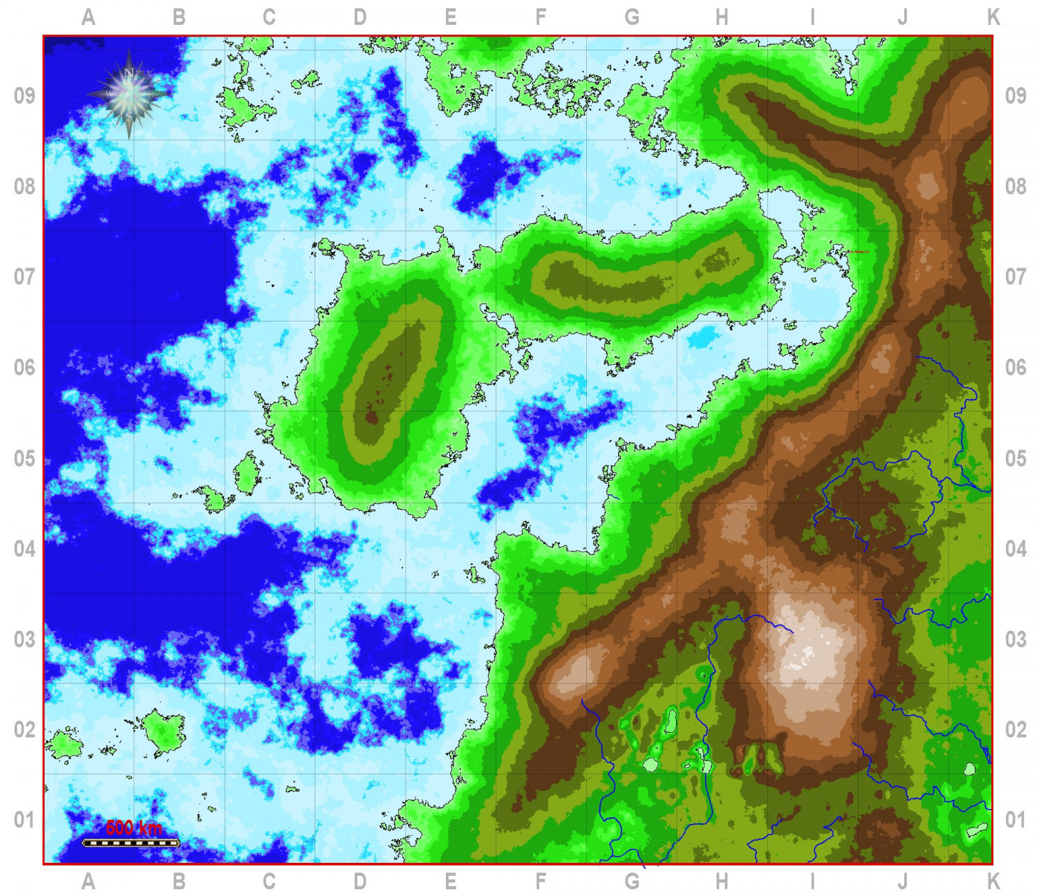
I have made a start on the focus area which Tatiana has chosen. An Andean type range, I see. Obviously some contour alteration will take place, to fit the rivers that were generated in FT3. Each grid square is 500 km.
We will have fun working out the histories and cultures - to be shown in map form as well, of course.
-
World of Tatilana - Free Towns of Chervonyahuar (Red Jaguar)
Thanks. It is going to be the focus of what I hope will be a pdf I can sell on Drivethrough RPG, and will include stuff about the world as a whole, as well as detailed stuff on this area in particular. So far I have 18 linked dungeons and 12 settlements to this map, which I have begun work on.
Tatilana is named in honour of Tatiana and her adopted daughter, Ruslana.
-
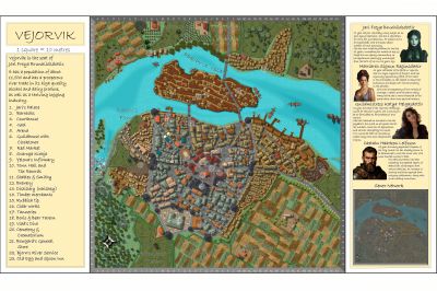
Vejorvik - Boris and Bear Tavern
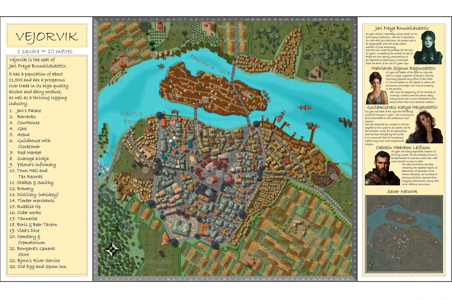
I have also altered the Vertshusen map in the atlas to the city in my campaign - Vejorvik.
here is the link to the original city I did, in the Atlas.
Browse Maps - Vertshusen City - ProFantasy Community Atlas
Larger map in the gallery.
Image Gallery: Continent of Ukadarlia — ProFantasy Community Forum
-
[WIP] Community Atlas Competition - Artemisia - Spiros Isle - Aretizo village


