Quenten
Quenten
About
- Username
- Quenten
- Joined
- Visits
- 7,209
- Last Active
- Roles
- Member
- Points
- 2,862
- Birthday
- November 29, 1950
- Location
- Australia
- Real Name
- Quenten Walker
- Rank
- Mapmaker
- Badges
- 16
Reactions
-
Craters for Mike Schley's maps
-
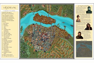
Watabou City REVISED (annual 157)
I have now converted all the IMPORT into the appropriate sheets using the Change Like Draw Tool Command only.
Remember to set the correct Sheet and Layer for each Change like Draw Tool command.
eg Rivers and Seas (Lakes): Sheet WATER/RIVERS, Layer Water/Rivers
Roads and Squares: Sheet ROADS or ROADS PAVED, Layer Roads. Note that Square Paved cannot be used in Change Like Draw Tools since it has a macro attached. I may change this later if I can find a paving that doesn't need alignment.
Parks: Sheet PARKS, Layer Vegetation.
Docks: Sheet DOCKS, Layer Docks
Walls: Sheet WALLS, Layer Walls (Note: I have done away with the City Wall Layer). I am still not happy with the crens for the walls - now they hardly show. I will fix that.
Towers: Sheet TOWERS, Layer Walls. No longer need to draw these without the Change Like Draw Tools command. And it means no guessing as to the size required.
Bridges: Sheet BRIDGES, Layer Bridges
Fields: Sheet FIELDS, Layer Vegetation. The furrows align to how the generator drew the fields. So often, not a very intuitive direction. However, if you want to use the tool directly to draw fields, the tool does align the furrows (which are Hatch symbols) correctly. In the picture below, I have done this with the bottom right hand field.
Buildings: Sheet SYMBOLS BUILDINGS, Layer Buildings, or any of the Building layers you wish to use, eg Bldng (House 1)
I generally advise doing the Buildings last, as you can then Hide all sheets except Import and Symbols Buildings (with the latter being the selected one). This will then show only the buildings you need to convert.
I have also added buildings on top of the Palace, and smaller towers on the towers around the Palace.
Comments and suggestions really welcome.
-
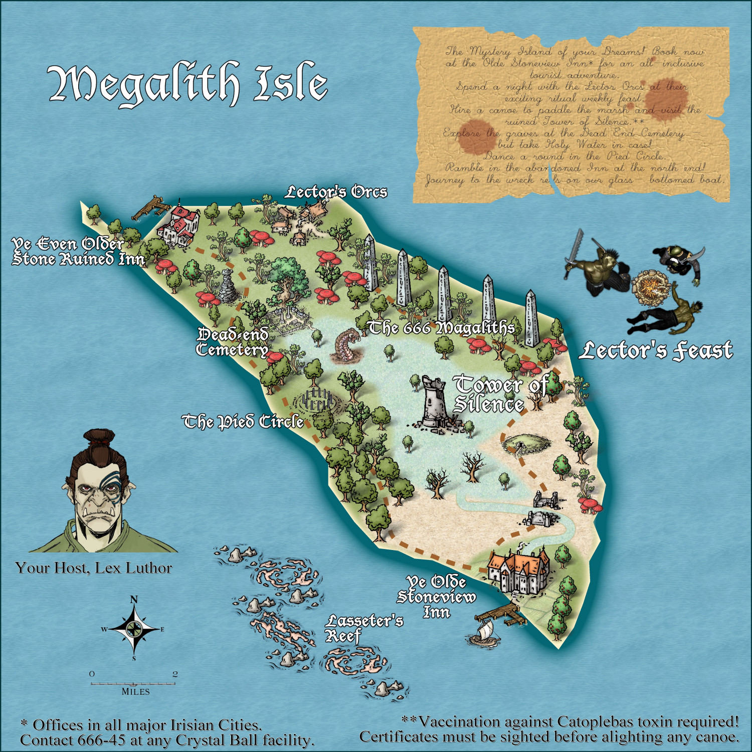
Community Atlas - Irisian City States - Megalith island
Most recent update. I think this is ready for the Atlas. Again, thanks to @Ricko Hasche for his very helpful suggestions in a private message.
-
Mars Ultor
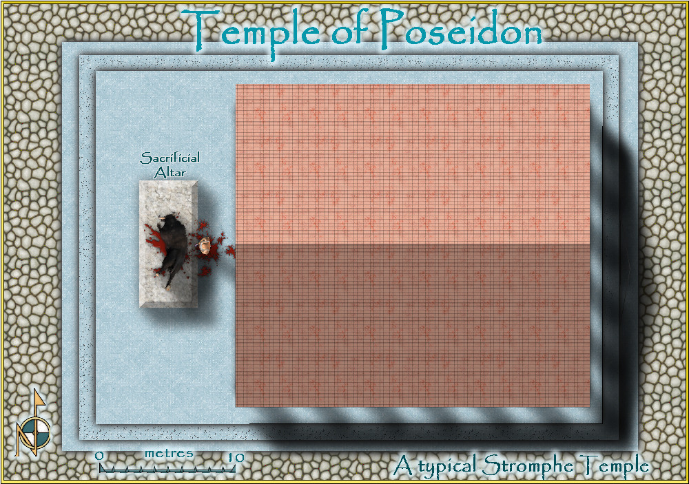
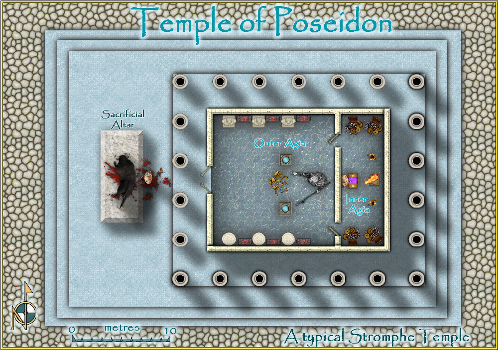
I also did a temple in the Community Atlas, if interested. With and without roof.
atlas.cdn.monsen.cc/atlas/artemisia/hi/typical temple.png
-
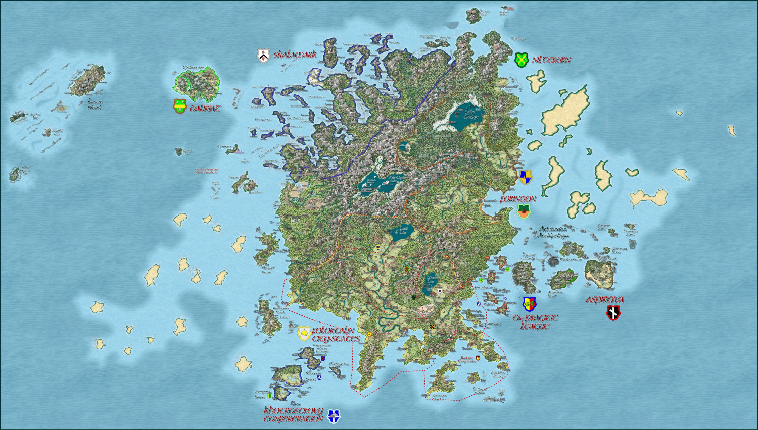
Hardin region of Myirandios
-
Hardin region of Myirandios
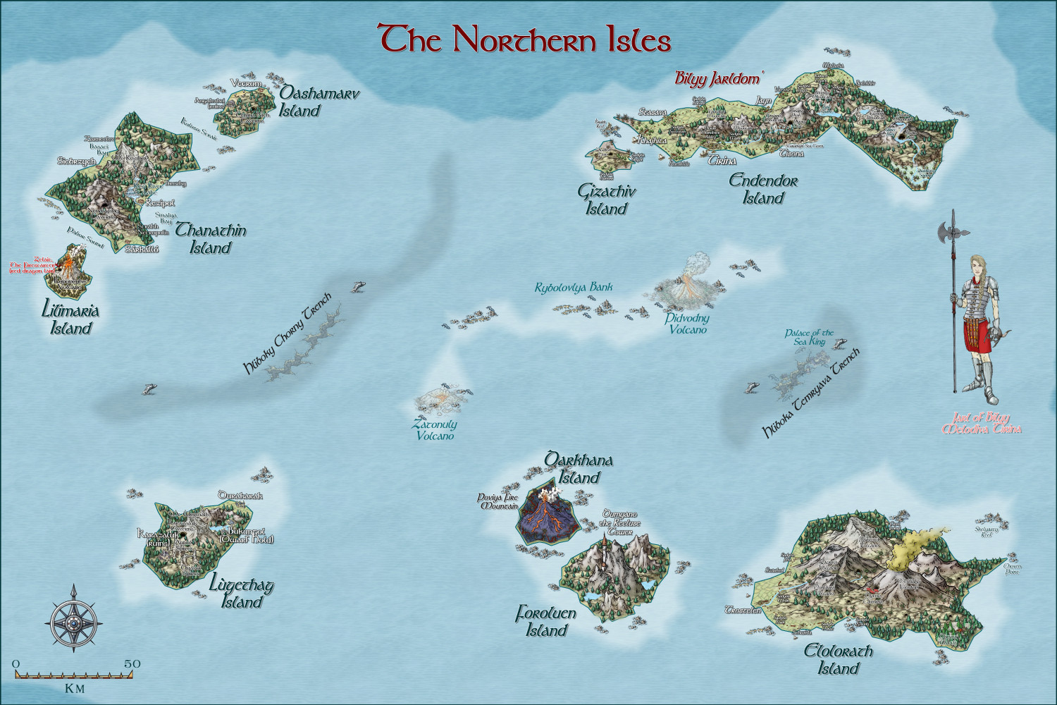
Here is the region of the northern Isles, with each island detailed. The uppermost left island is the closest to there being a 'nation', mainly due to the efforts of Melodiva Tirina, the charismatic female leader of this hardy folk. I am going to do a sketch using Character Artist of both the Sea king and Melodiva Tirina (as she is an important person in this fantasy world). And also try to use it to do the sea creatures, the Muru.
-
Myirandios - Hardin Region - Khotrostovy Confederation
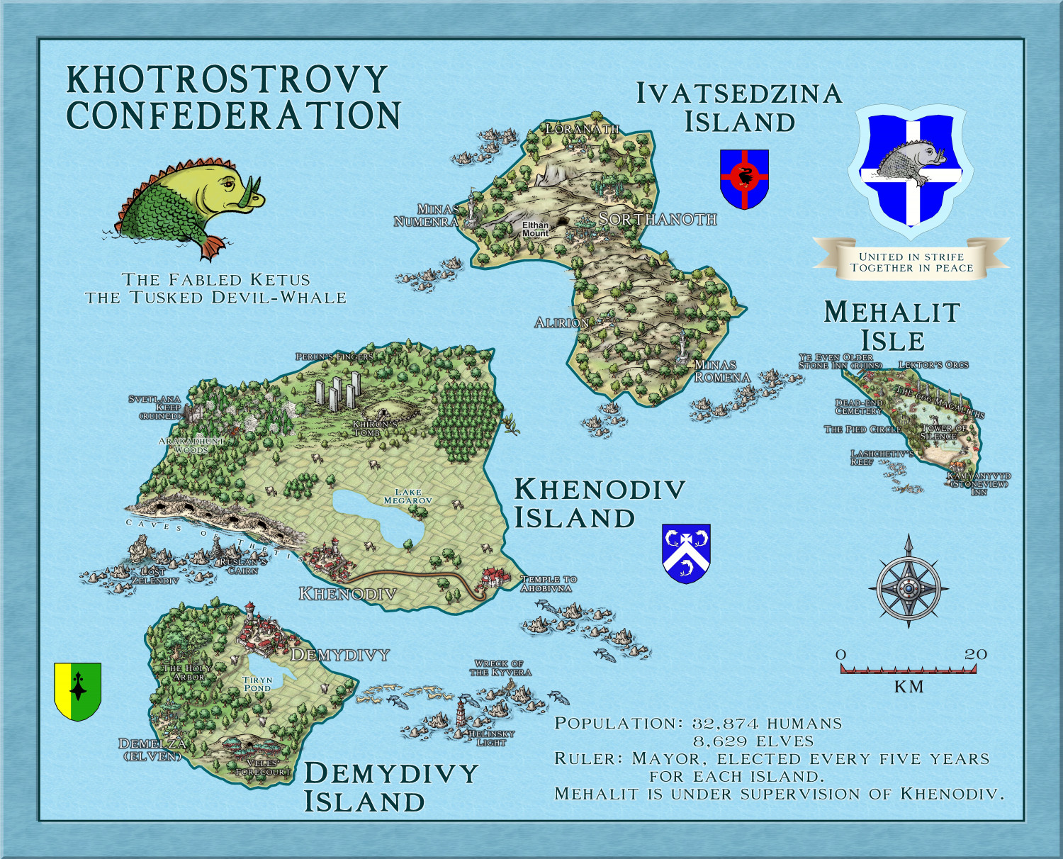
Here is the map of the Khotrostovy Confederation - I reused the maps for the Community Atlas of Xenothon and Demydice, and Megalith Isle - yet to be included in the Atlas, but waiting for Remy to get time to put them in (I have asked him to wait till I finish the other islands' map notes, so the delay is my doing). In addition, I have changed the names to a more Slavic feel, and added another mainly wooded elven isle. Another advantage to reusing these maps, is that I already have map notes, which I can expand upon for my own world.
-
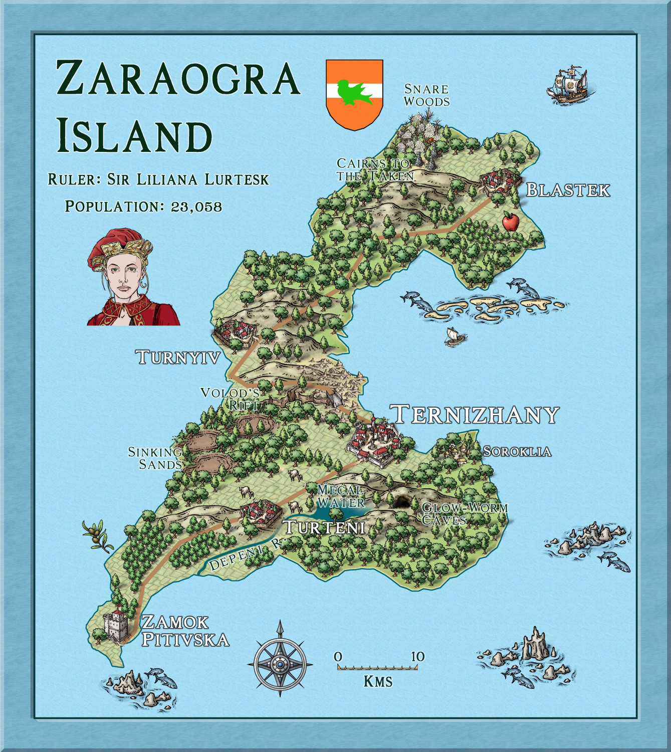
Hardin - Folortalin - Zaraogra Island
Here is another Island in the detailed map of Hardin I am doing.
The title is correct - all knights and other nobles have the so-called 'male' titles, regardless of sex, to indicate that this is a FEMALE dominated world. (as the females are SO much stronger in use of innate 'magic' powers, called etherics).
-
Community Atlas Project - Download information - Contributions Welcome
I am having real internet problems, and can't get my internet to work well at all. So I am going to ask @Monsen to add this map to the Atlas - in southern berenur.
-
FT3 to CC3+ as per recent Live Mapping Tutorial


