


Quenten
Quenten
About
- Username
- Quenten
- Joined
- Visits
- 8,062
- Last Active
- Roles
- Member
- Points
- 3,090
- Birthday
- November 29, 1950
- Location
- Australia
- Real Name
- Quenten Walker
- Rank
- Mapmaker
- Badges
- 16
Latest Images


Reactions
-
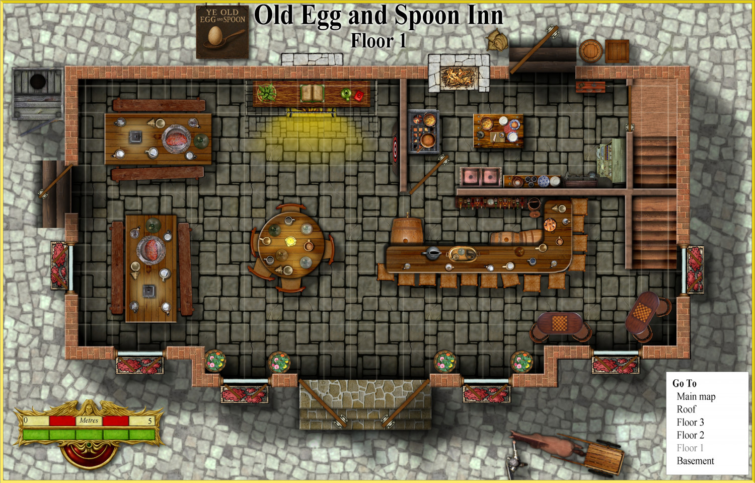
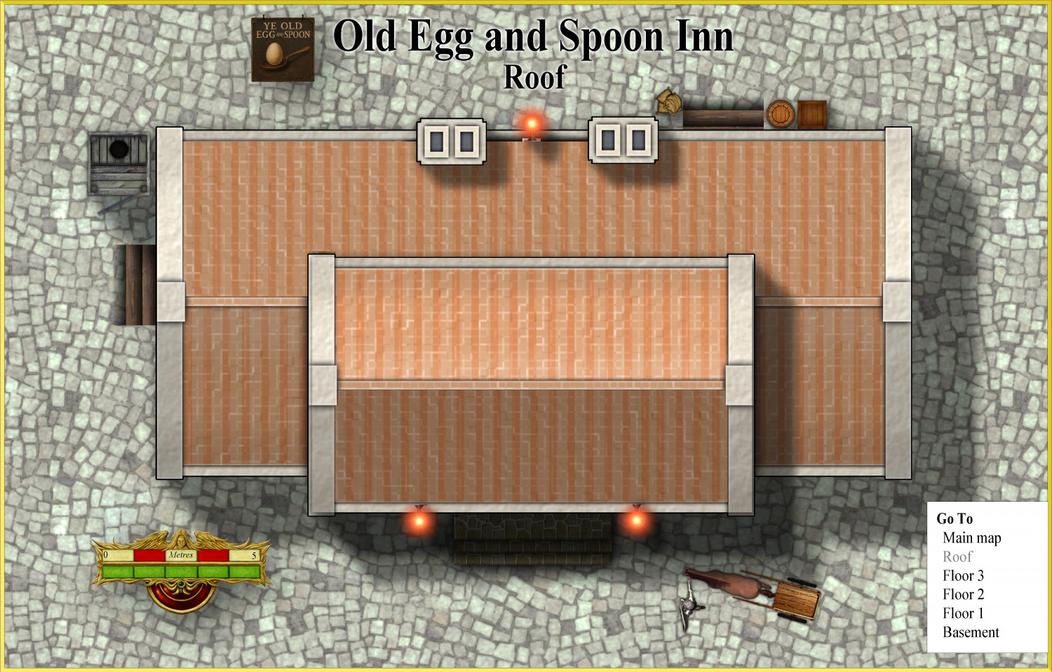
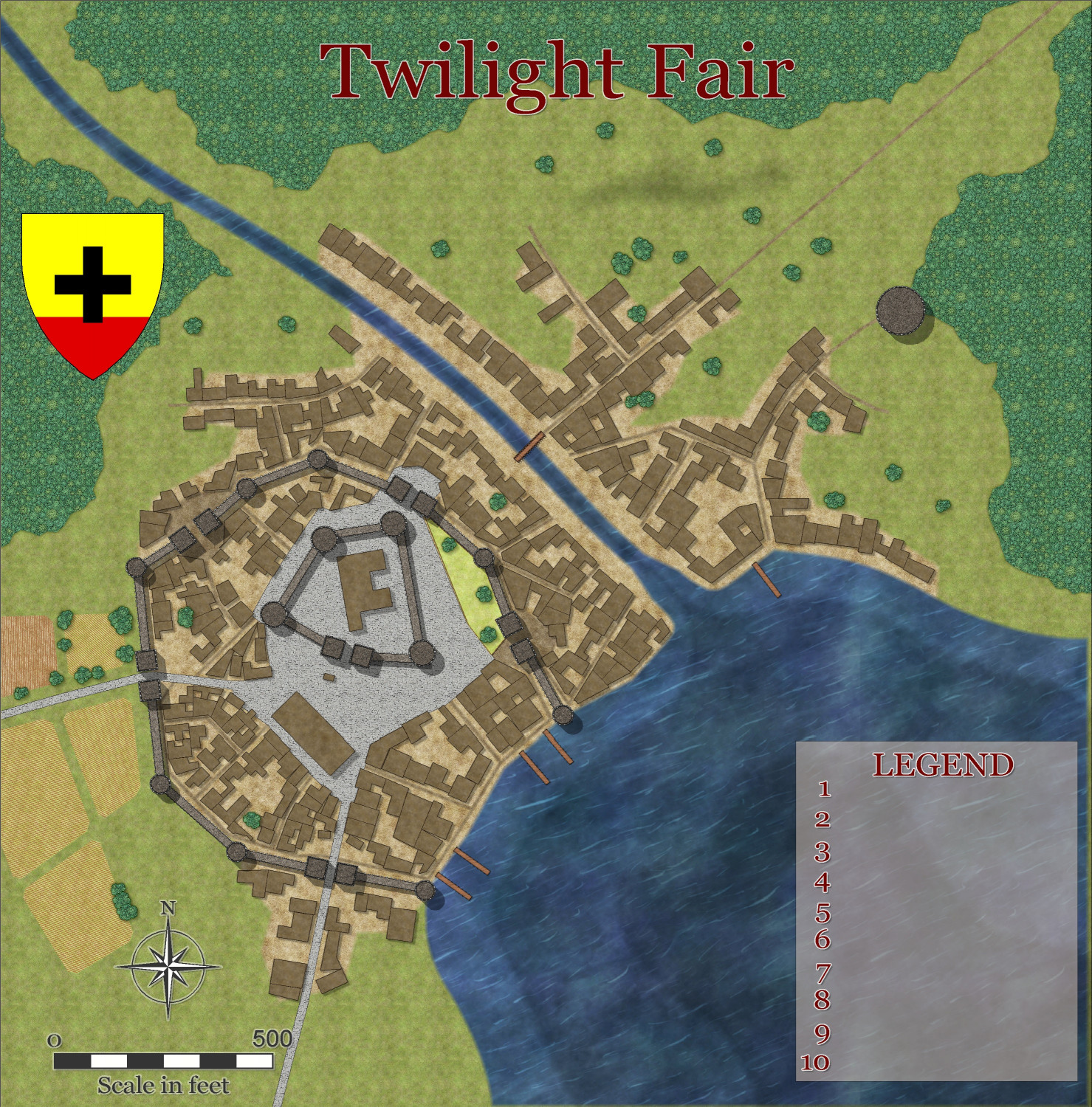
Vejorvik - Ye Old Spoon and Egg Inn
Hi, I use the city of Vertshusen in mt own campaign world as the City of Vejorvik. I need an Inn for the players, so have chosen one building, which is now the Old Egg and Spoon Inn. I will also be submitting it to the Atlas when all floors are finished.
Here is the first floor, and the roof.
The sign I did using AI. @Monsen can I send it with the Atlas submission as a png to be added to the community Atlas shared symbols etc?


-
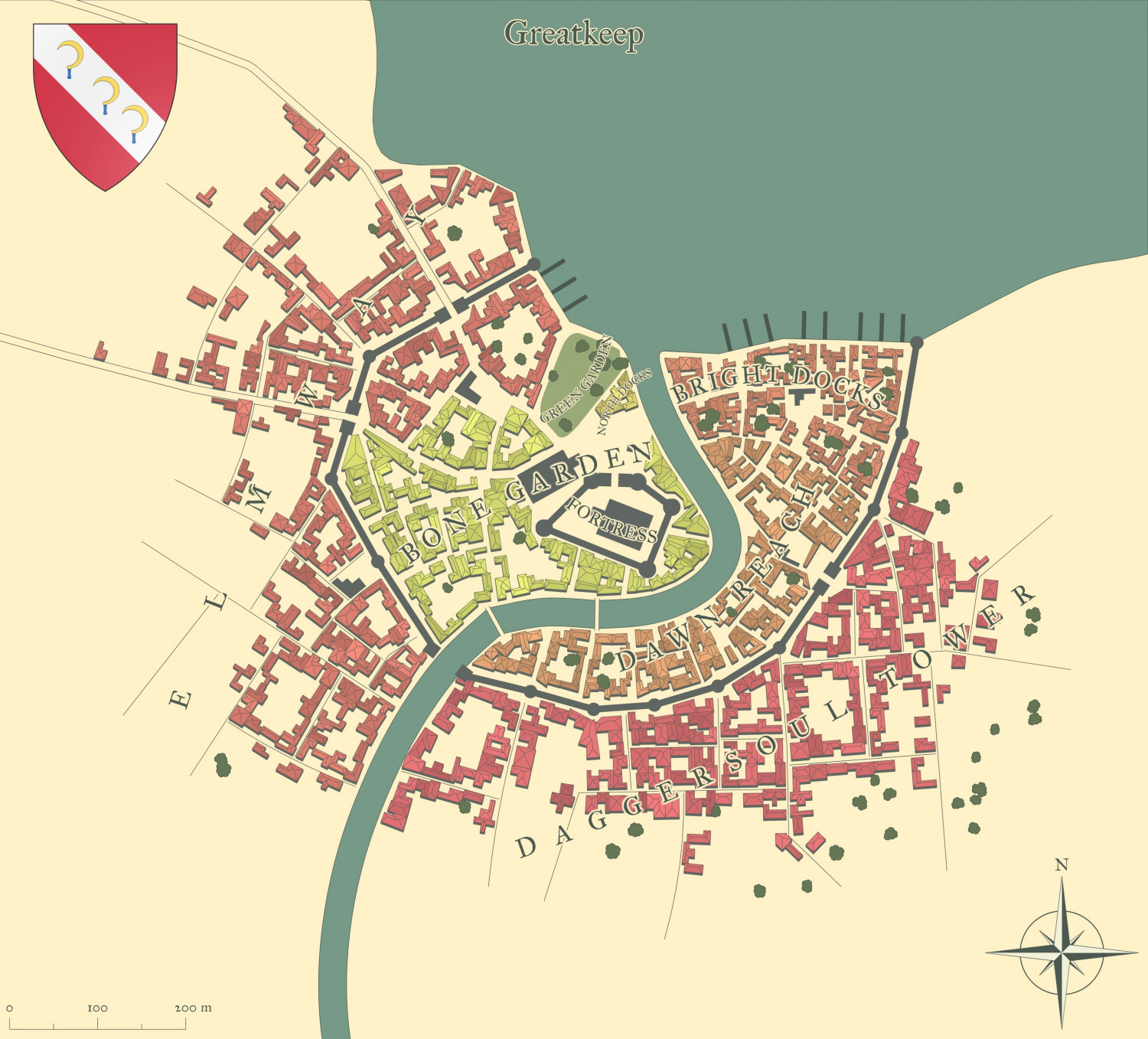
Watabou City REVISED (annual 157)
Here is what it looks like with all the bells and whistles from the Watabou generator now. You can even add you own text for various buildings of importance.


-
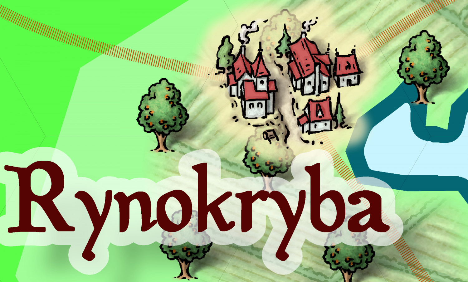
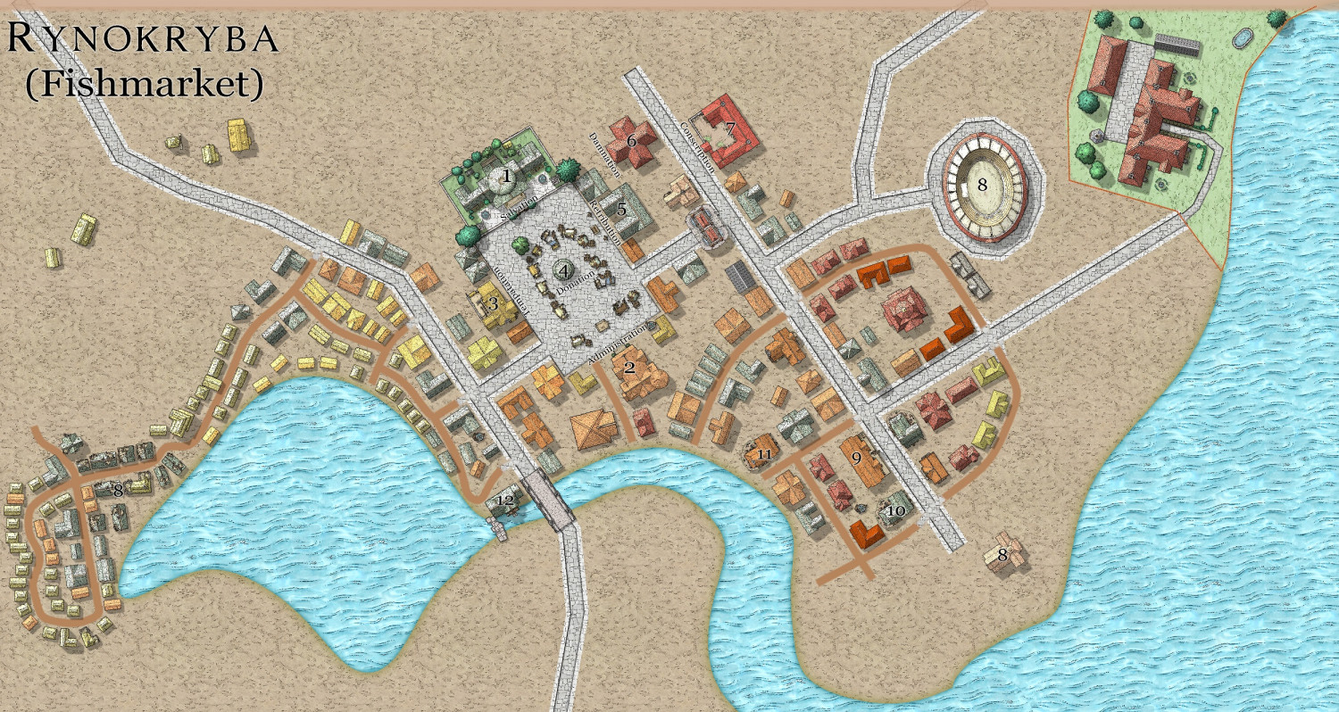
Zelenahavan - Rynokryba
This is the beginning of the village of Rynokryba (.means Fishmarket)in the country of Zelenahavan (means Verdant Haven). It is the beginning point, and home town of the adventurers. It is in Schley Cities style only (SS5) though I may relent and use a few CSUAC symbols. I have yet to do the fishing part


-
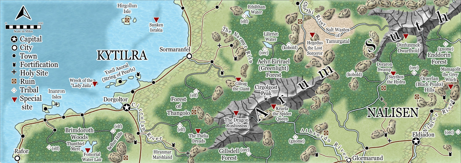
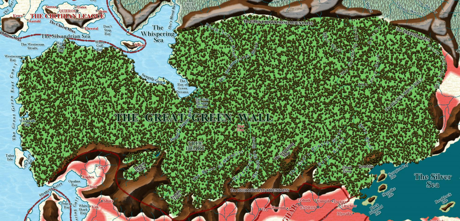
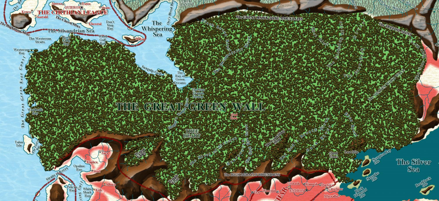
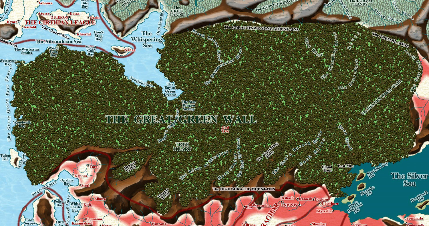
Community Atlas - Berenur - Arum Suth
As there are no further suggestions, I have now sent this to the Atlas - I tidied up the rivers and mountains a bit.
I really like this style as an alternative 'top-down' style.


-
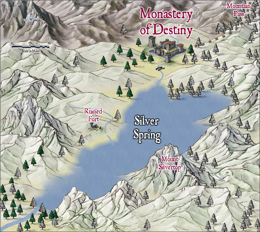
Community Atlas - Alarius - North Central Region - Silver Spring - battlemap
Here is a regional map, using Jon Roberts Revised, to contain the battlemap above which i am still working on. Who knows, i might do the monastery too.

-
Community Atlas - Irisian City States - Dimitrios island
Some improvements and corrections, as suggested in private message from @Ricko Hasche - thanks for those, Ricko ❤️
I think this is now complete and ready for the Atlas once I have done the map notes.
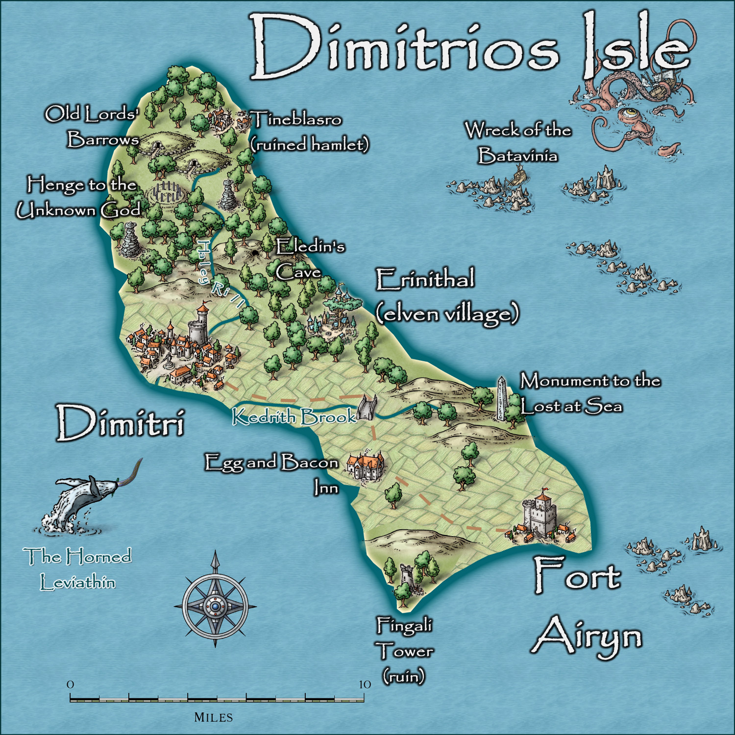
Larger map in the Gallery.
-
MY MUNDI IS READY!
An amazing job. I use symbols in area a lot, to prevent this - here are my sparse, medium and dense forests using Darklands trees as requested by my client - I wonder if you could have done the same?

-
Watabou City REVISED (annual 157)
Here is a map done - took 45 minutes from downloading the SVG to this product - no text of course, but still, a quick town for adventure. And it gave me a chance to test, yet again, the tools I have used.

-
Feature Suggestion Thread
I would love Sue to do some monthly's for her Spectrum Overland style


-
Community atlas - Tombs
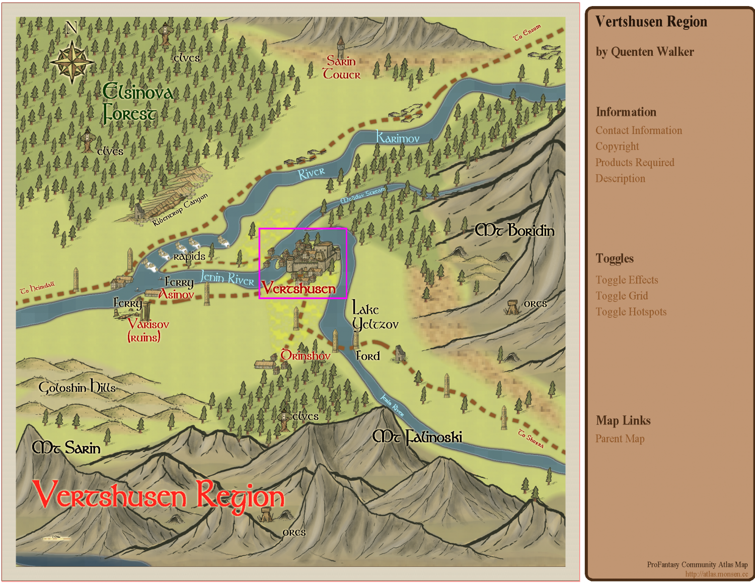
This is in Ezrute, Dunor Valley, Vertshusen region


