Quenten
Quenten
About
- Username
- Quenten
- Joined
- Visits
- 8,062
- Last Active
- Roles
- Member
- Points
- 3,090
- Birthday
- November 29, 1950
- Location
- Australia
- Real Name
- Quenten Walker
- Rank
- Mapmaker
- Badges
- 16
Latest Images


Reactions
-
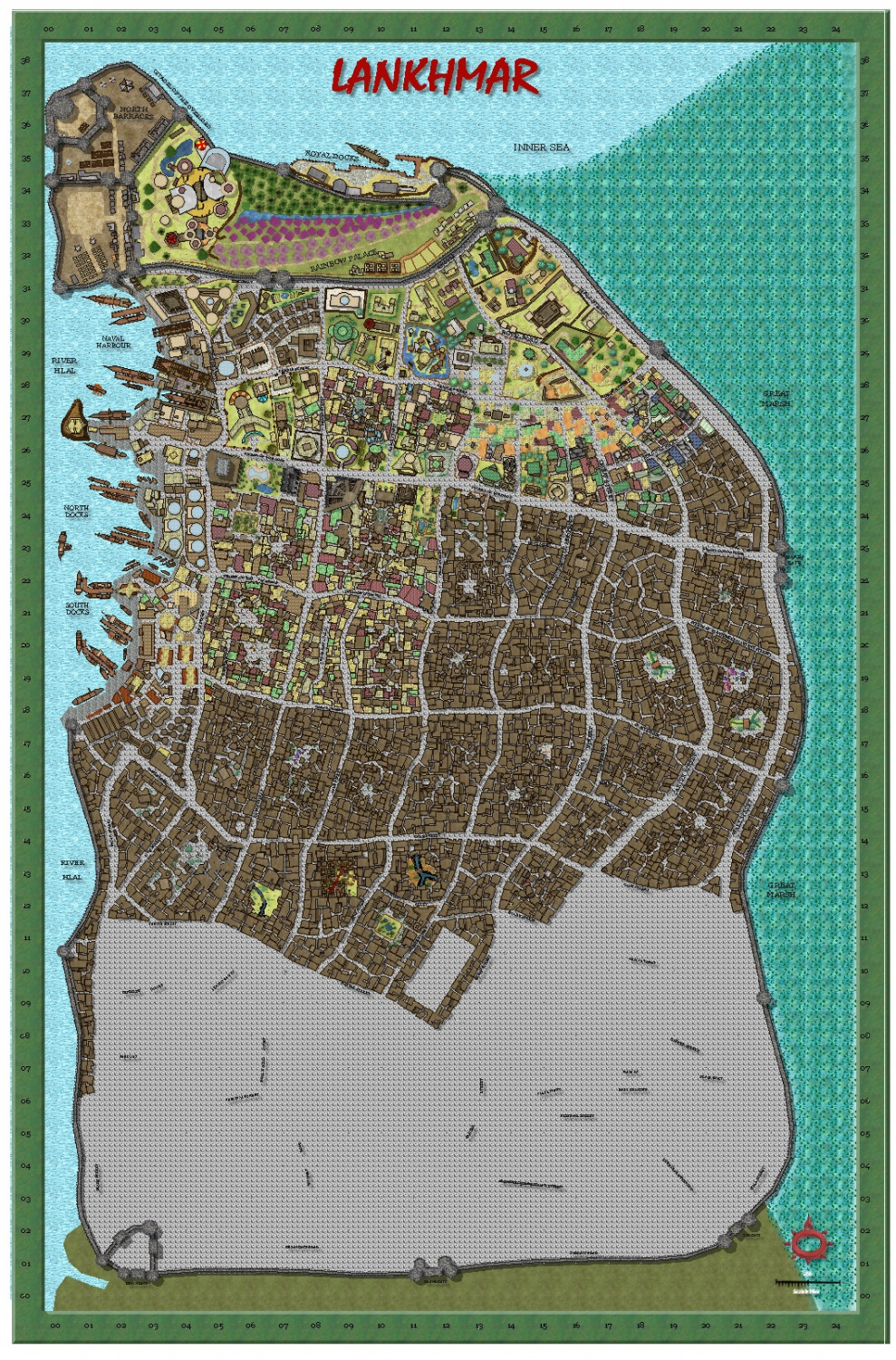
My version of Lankhmar
Today's effort.


-
Ukadarlia
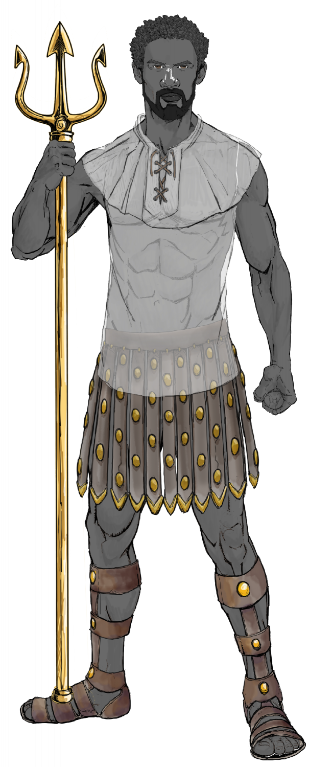
The Vynlings - a Nordic-like people.


-
My version of Lankhmar
Today's progress.

-
Ukadarlia
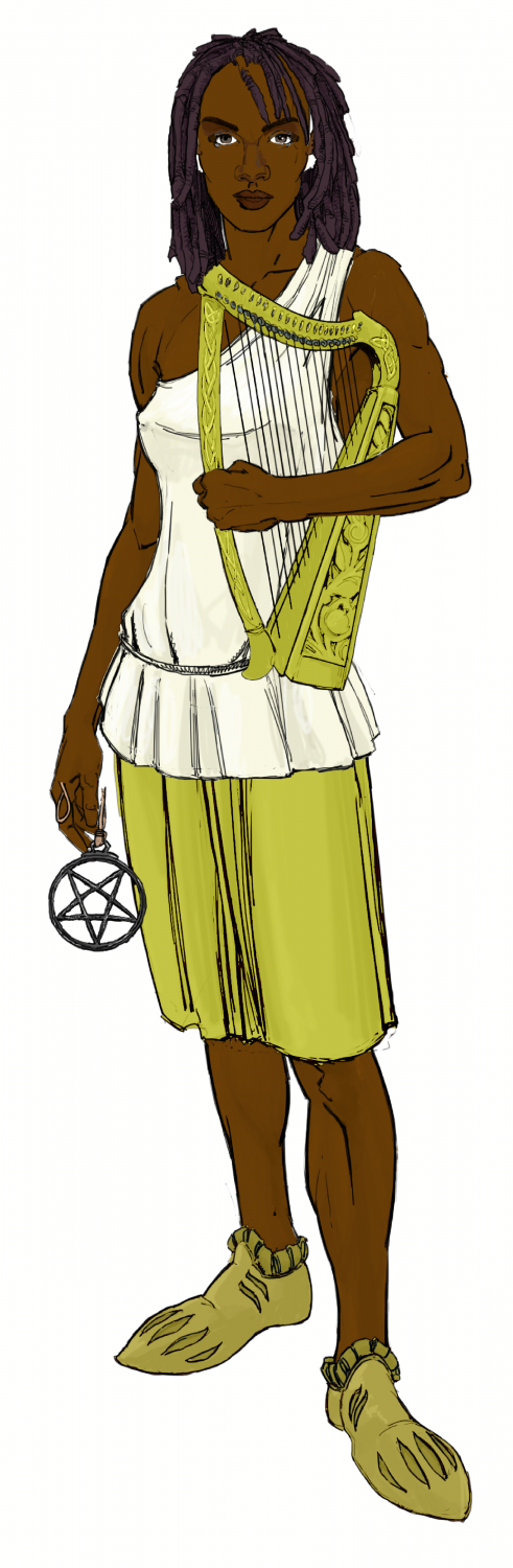
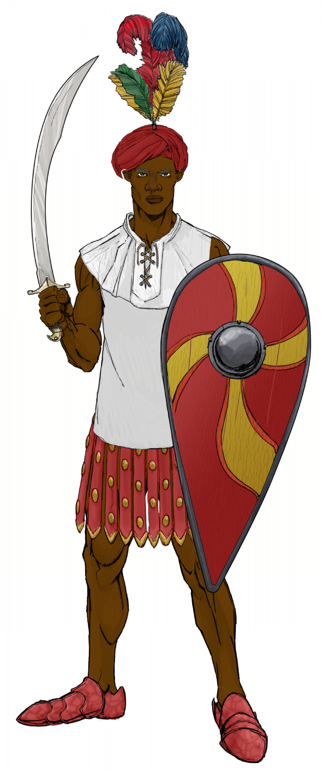
The male and female Swabentu - a South Sudanese- Masai -like people.
-
Ukadarlia
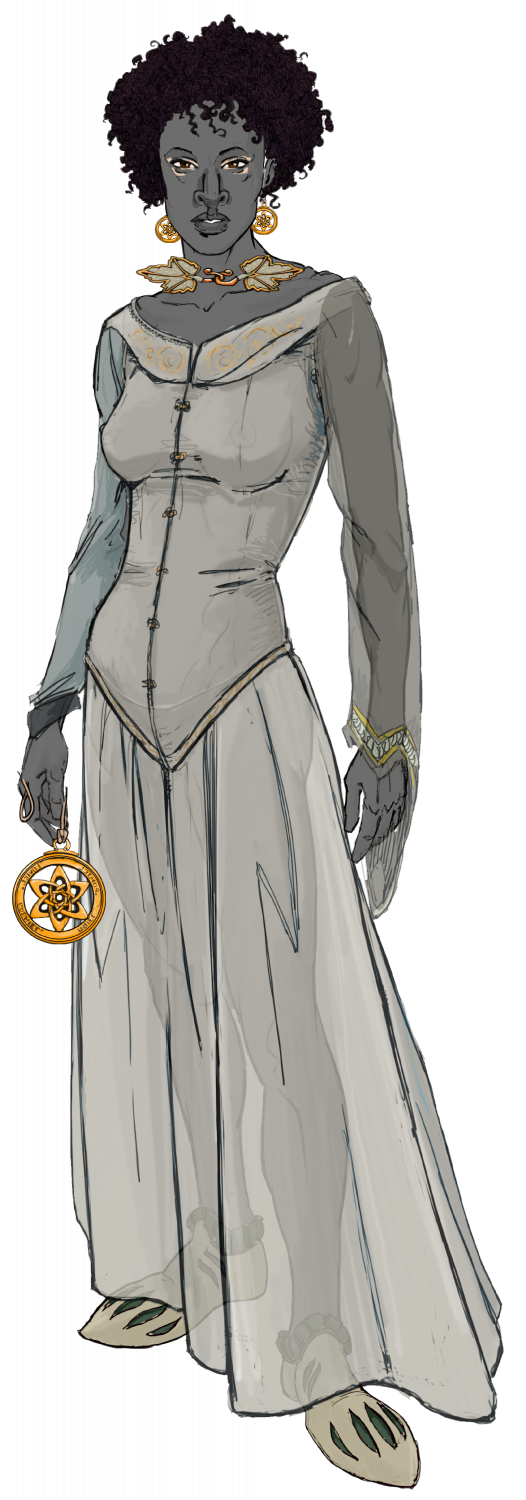
The Dinadao - a brown-skinned race, mainly living in the tropics.

-
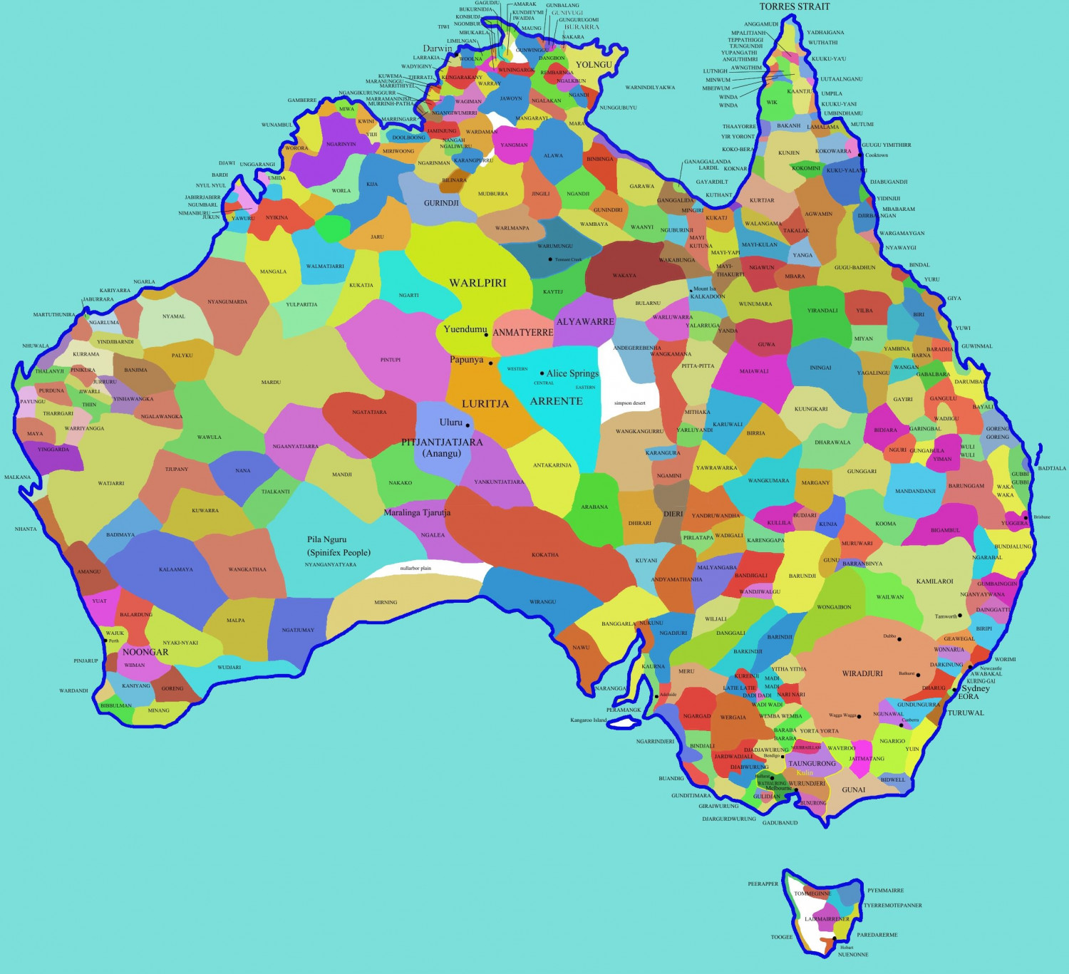
Terror Australis
I have used the map of the world shown in the Annual 92 (Real World Vector Data), which is the subject of the upcoming Live Mapping session. I have translated it into the Mike Schley style.
A setting for a Fantasy land, with all the aboriginal nations as the actual national boundaries?
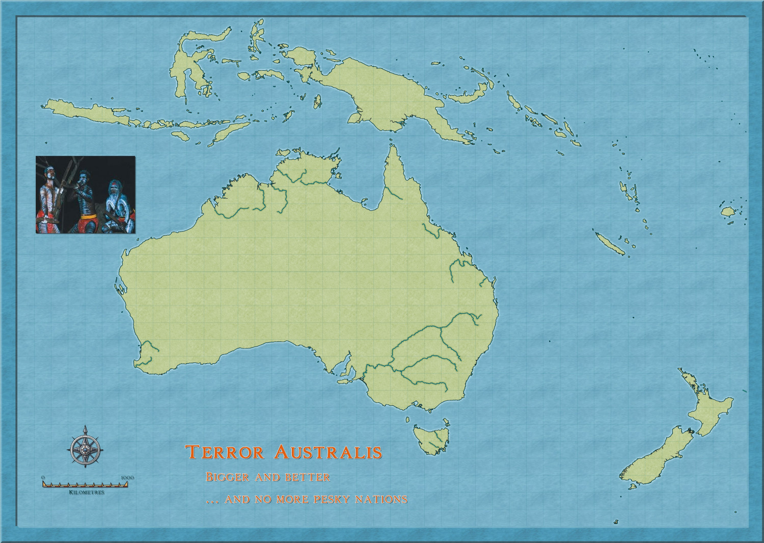
After Ralf's session, I might see if I can get a map of the area with more detail.
Still, it is fun.

-
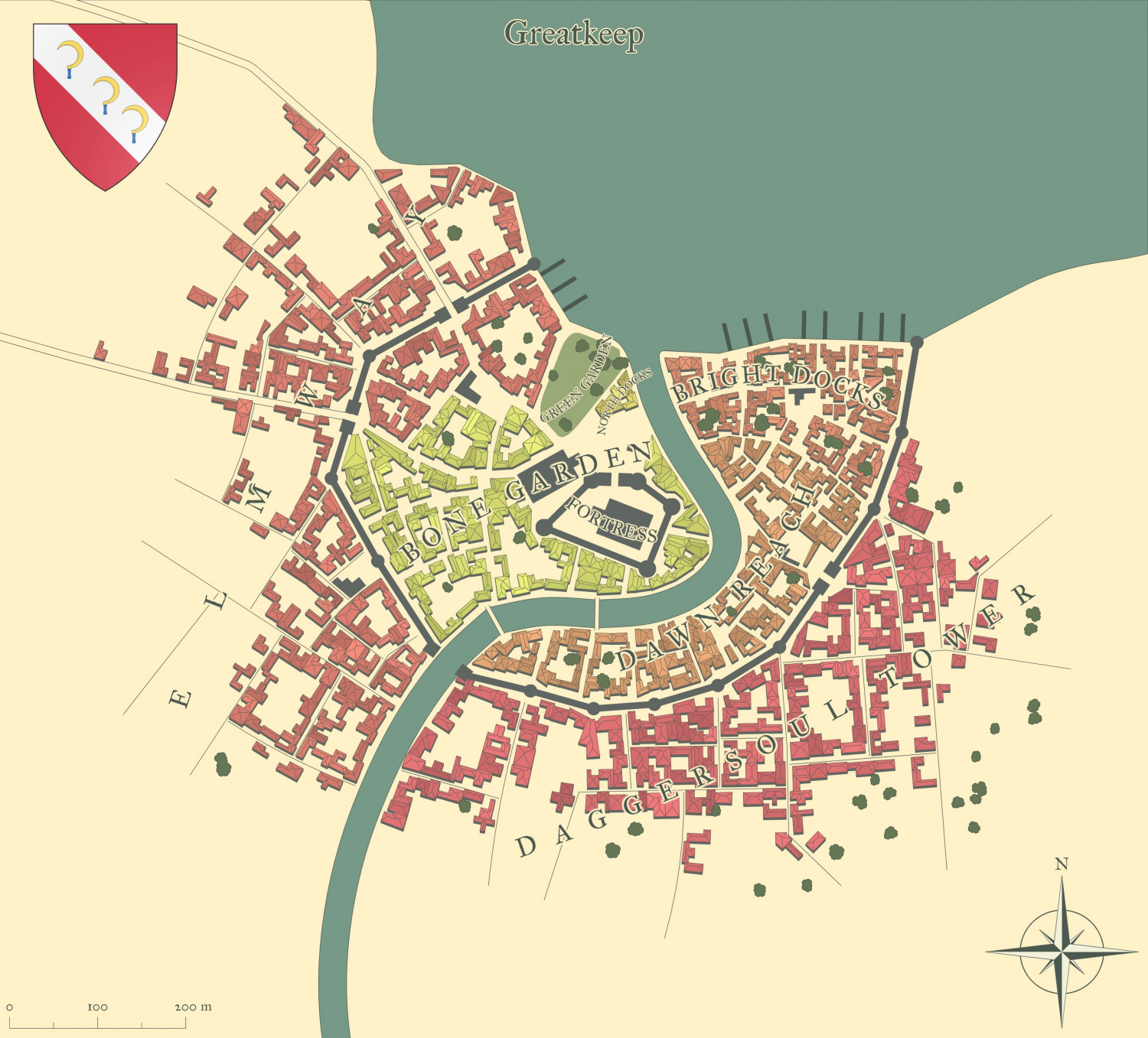
Watabou City REVISED (annual 157)
Here is what it looks like with all the bells and whistles from the Watabou generator now. You can even add you own text for various buildings of importance.


-
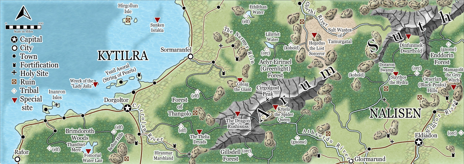
Community Atlas - Berenur - Arum Suth
As there are no further suggestions, I have now sent this to the Atlas - I tidied up the rivers and mountains a bit.
I really like this style as an alternative 'top-down' style.


-
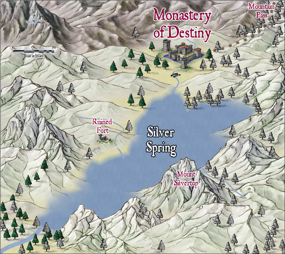
Community Atlas - Alarius - North Central Region - Silver Spring - battlemap
Here is a regional map, using Jon Roberts Revised, to contain the battlemap above which i am still working on. Who knows, i might do the monastery too.
-
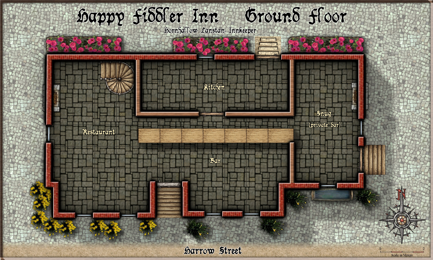
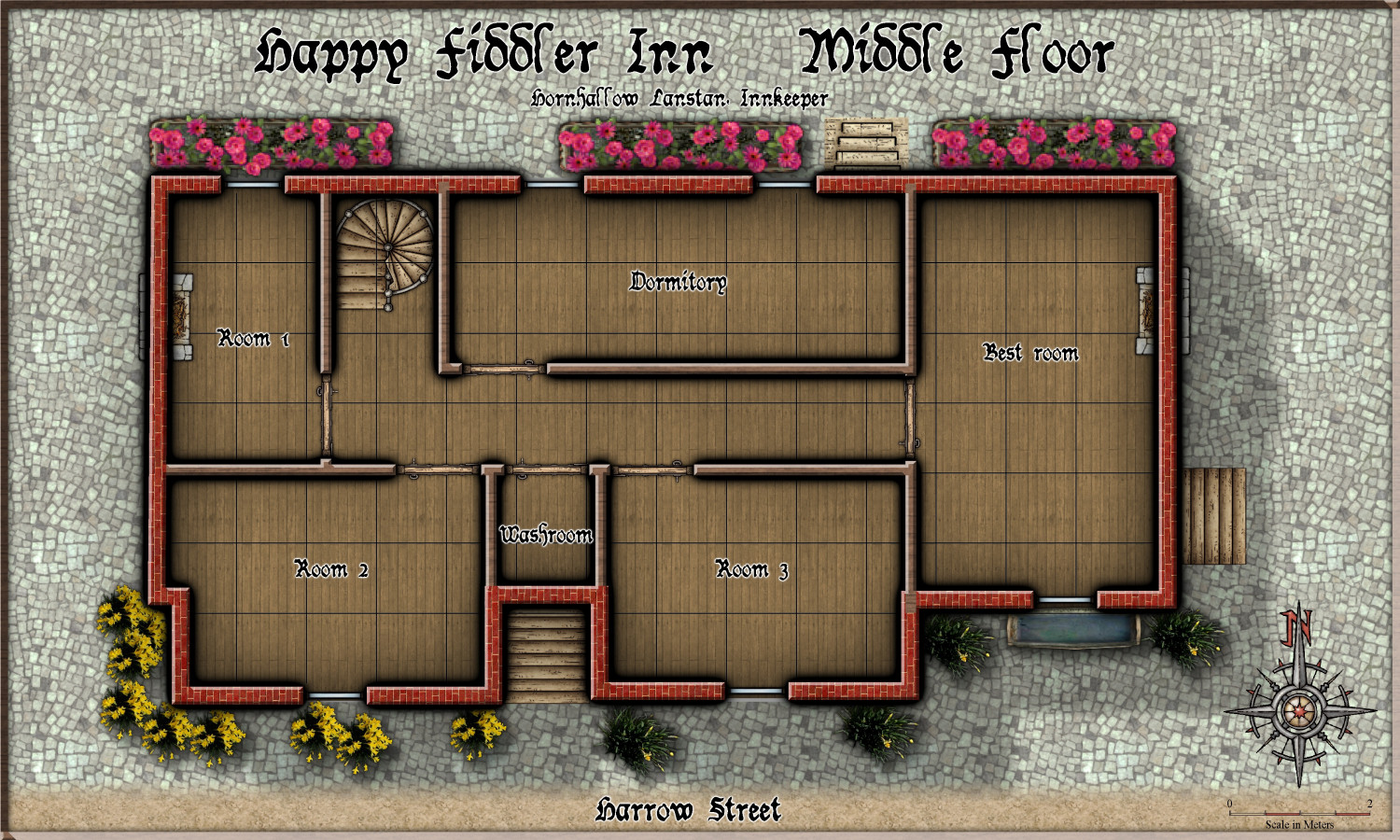
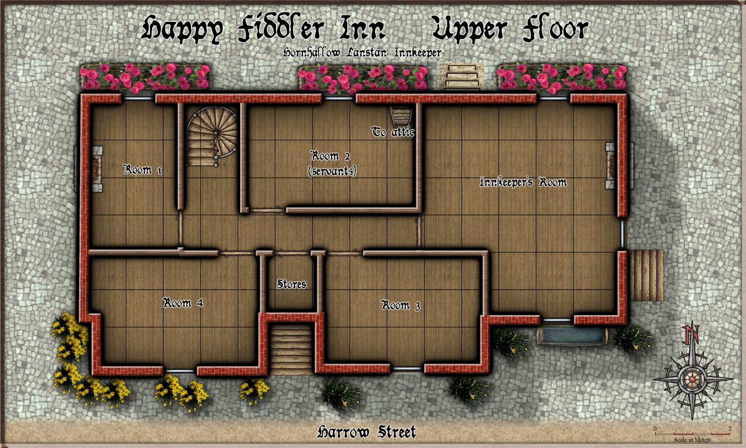
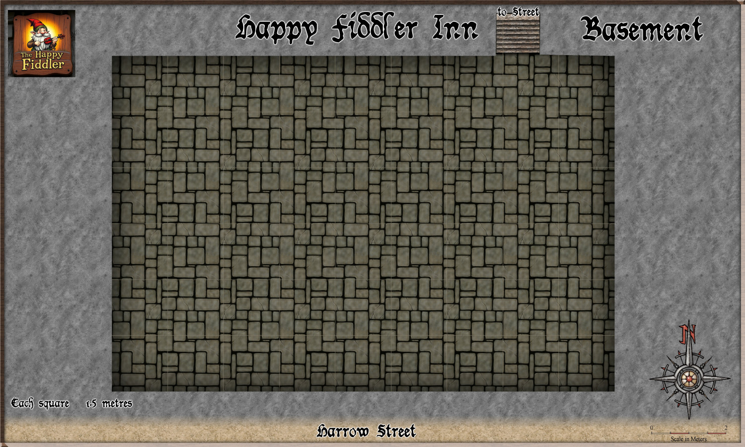
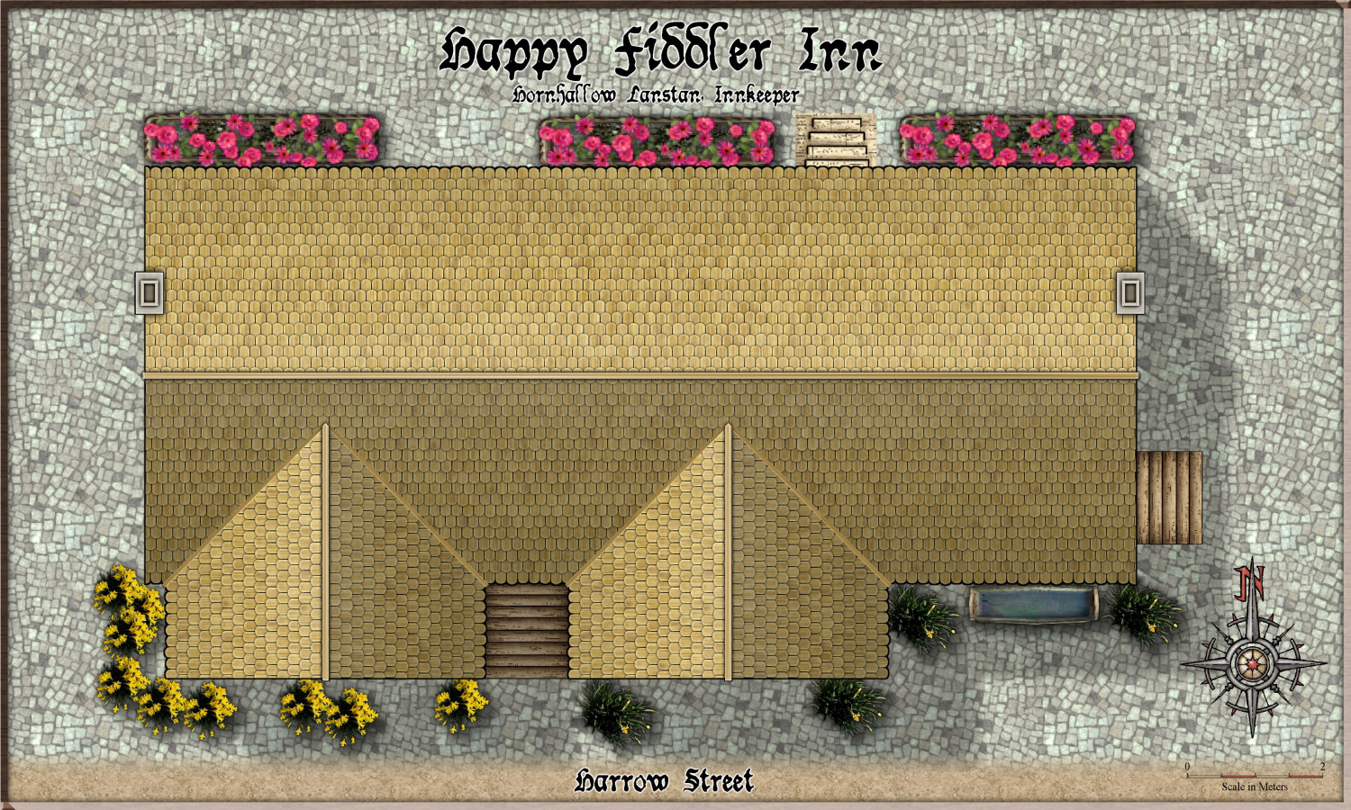
Community Atlas - Torstan Holy District - Happy Fiddler's Inn - a joint collaboration.
Here is the next joint building collaboration with @Ricko . The Happy Fiddler Inn.
Here it is in the context of its surrounds.
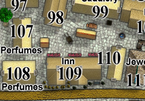
So, now for the outlined floor plans, which Ricko will fill in, room by room.