Quenten
Quenten
About
- Username
- Quenten
- Joined
- Visits
- 7,200
- Last Active
- Roles
- Member
- Points
- 2,860
- Birthday
- November 29, 1950
- Location
- Australia
- Real Name
- Quenten Walker
- Rank
- Mapmaker
- Badges
- 16
Reactions
-
Feature Suggestion Thread
-
Community Atlas - Kumarikandam - Myrklund Style
-
Tatilana - Western Sergeevna
-
Tatilana - Western Sergeevna
-
[WIP] Community Atlas Competition - Artemisia - Spiros Isle - Aretizo village
-
Creating large cities without crashing
My advice is to show only all the buildings by hiding all sheets without Buildings on them, then dividing the buildings into various districts suing layers. Then hiding all building layers except the district you are working on. And the more bitmap symbols you use, the better - i know it takes longer, but the map will actually look better as well as run better.
Here is your FCW with the buildings divided into 5 separate layers - North, South, East, West and Central. You can hide those layers except for the district you are working on. I suggest you use bitmap buildings for at least 20% of the buildings you have in the map - just delete a few houses here and there and use bitmap ones instead.
Incidentally, I had no trouble or even much of a delay in redrawing the map with all buildings showing, with Sheet effects on.
-
Watabou City REVISED (annual 157)
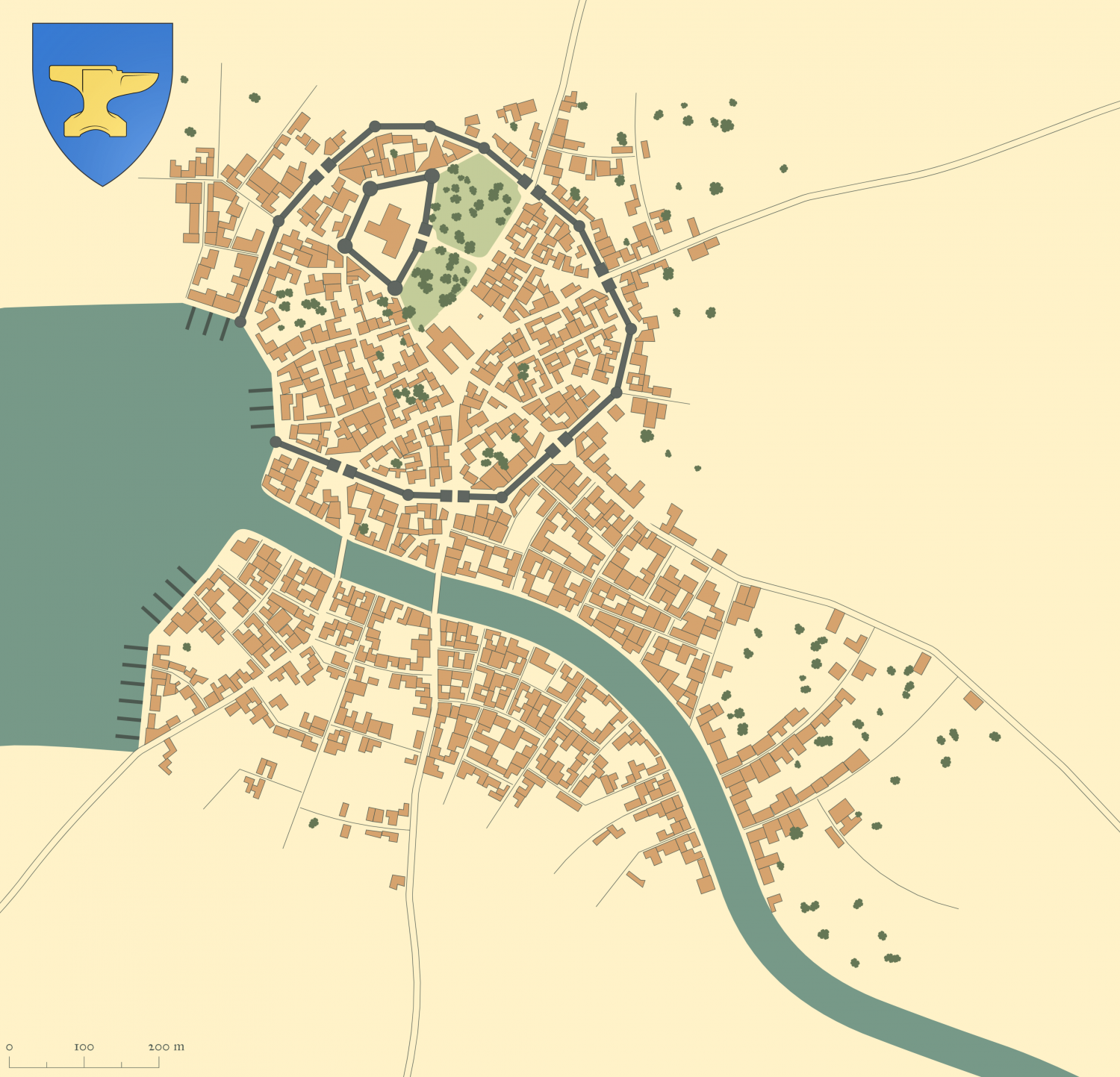
I have decided on another map for the annual sample. I am now able to include alleys and trees in the conversion process, so feel free to add trees and alleys to your generated maps from Watabou.
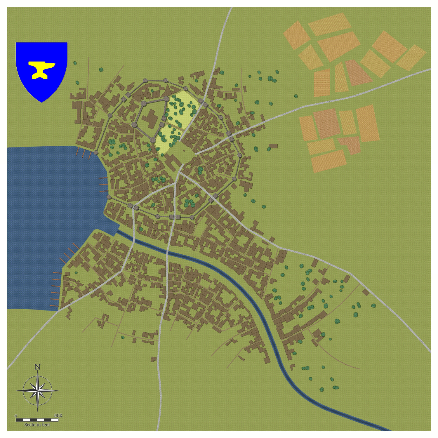
This is the map I generated from Watabou, including emblem, trees and alleys. It was called Low Rock, which translates to Craig Isel in Welsh, so I am intending to go for a Welsh feel with the names. And the industry will be some sort of iron-working industry, as per the coat of arms.
I have outlined the roads to show them, but in the SVG export, I have unchecked outlines for all except BUILDINGS. I haven't got any fields, so will use Drawtools to add my own.
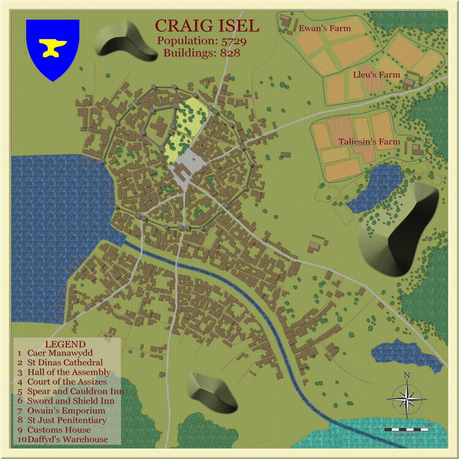
Here is the result after complete conversion, all using Drawtools, except for the emblem (which I also exported from the generated map).
Here is the sample map so far, using Drawtools only, apart from text.
-
Ukadarlia
-
Ukadarlia
-
Ukadarlia
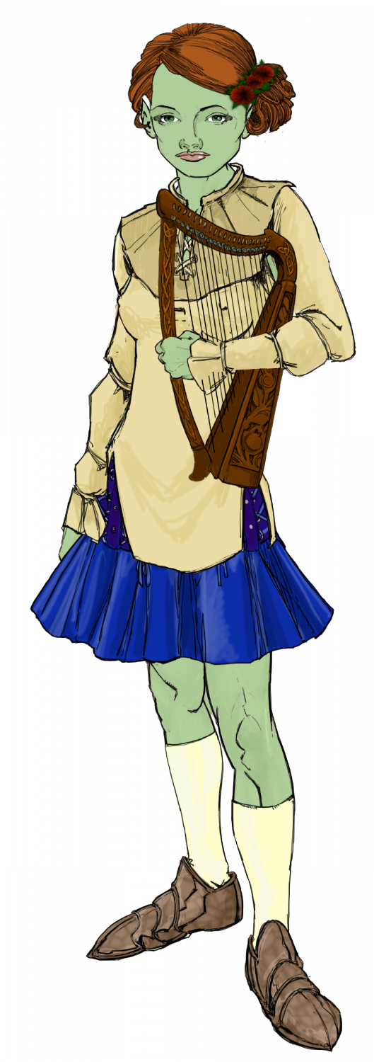
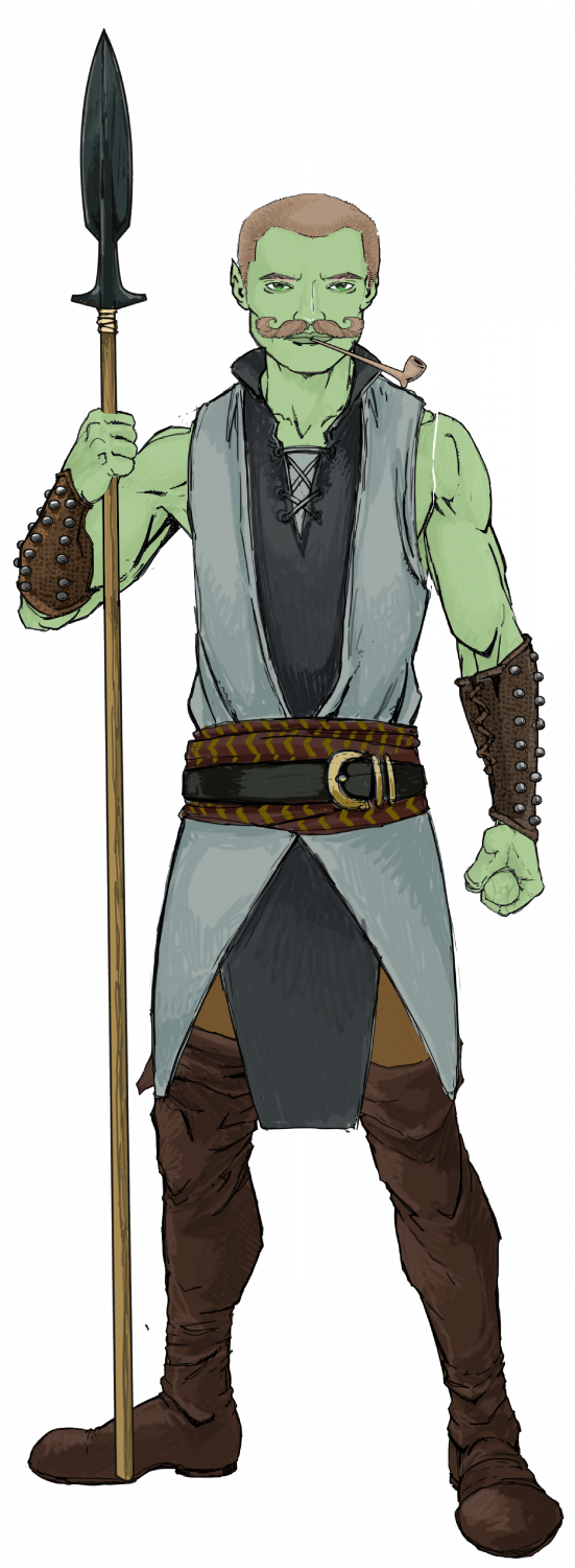
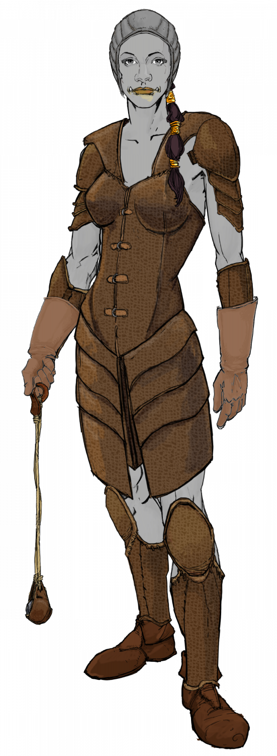
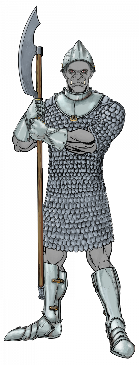
Finally, the Grimir - the 'orcs' of Ukadarlia. They have grey skin and protruding lower canines. They are otherwise another human variant. Both the Aeifa and Grimir can interbreed with each other and the other human ethnicities; however, the pregnancies are likely to miscarry about 50% of the time, and the progeny have about a 20% chance of a genetic flaw - eg cleft lip, club foot, extra digit, accessory nipples, large birthmarks, etc.


