


Quenten
Quenten
About
- Username
- Quenten
- Joined
- Visits
- 8,062
- Last Active
- Roles
- Member
- Points
- 3,090
- Birthday
- November 29, 1950
- Location
- Australia
- Real Name
- Quenten Walker
- Rank
- Mapmaker
- Badges
- 16
Latest Images


Reactions
-
Hardin region of Myirandios
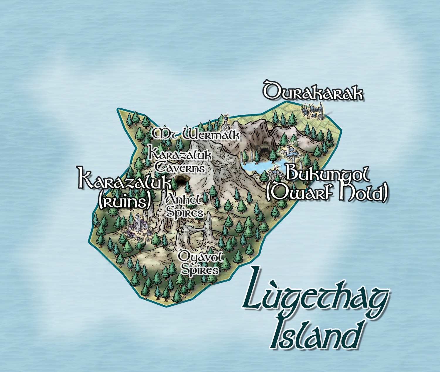
Dominated by a reclusive mainly underground settlement of Davarin ('dwarves') with one human settlement.


-
Tatilana - Western Sergeevna
And his lady wife


-
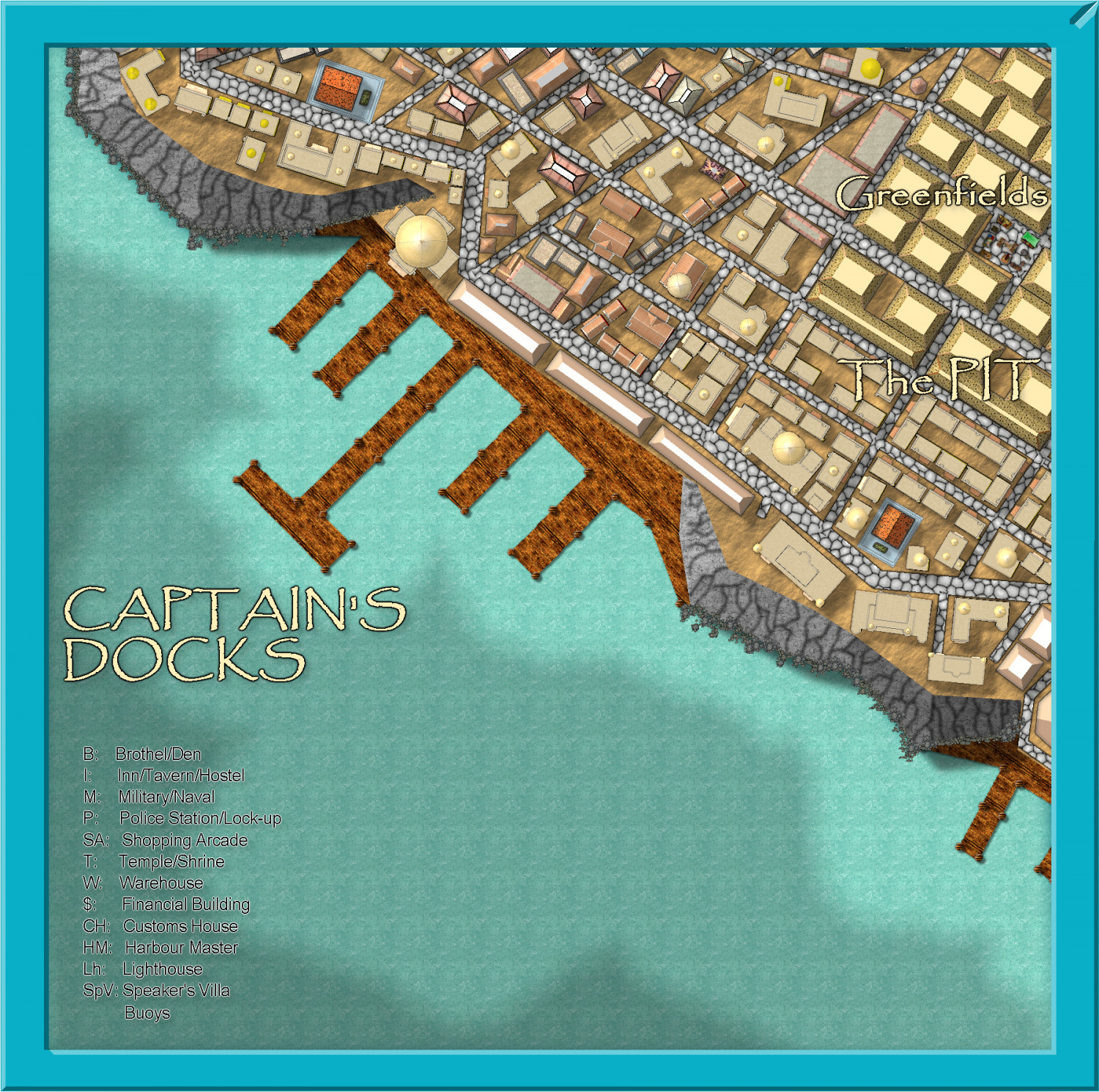
Community Atlas - Stromphe City - Captains Dock District
Here is today's effort. Just building frills, and street furniture to go, plus some pretty up of the frame and stuff for the harbour, then text.
So, I should finish this in less than a week, real life permitting.


-
Community Atlas - Irisian City States - Dimitrios island
Some improvements and corrections, as suggested in private message from @Ricko Hasche - thanks for those, Ricko ❤️
I think this is now complete and ready for the Atlas once I have done the map notes.
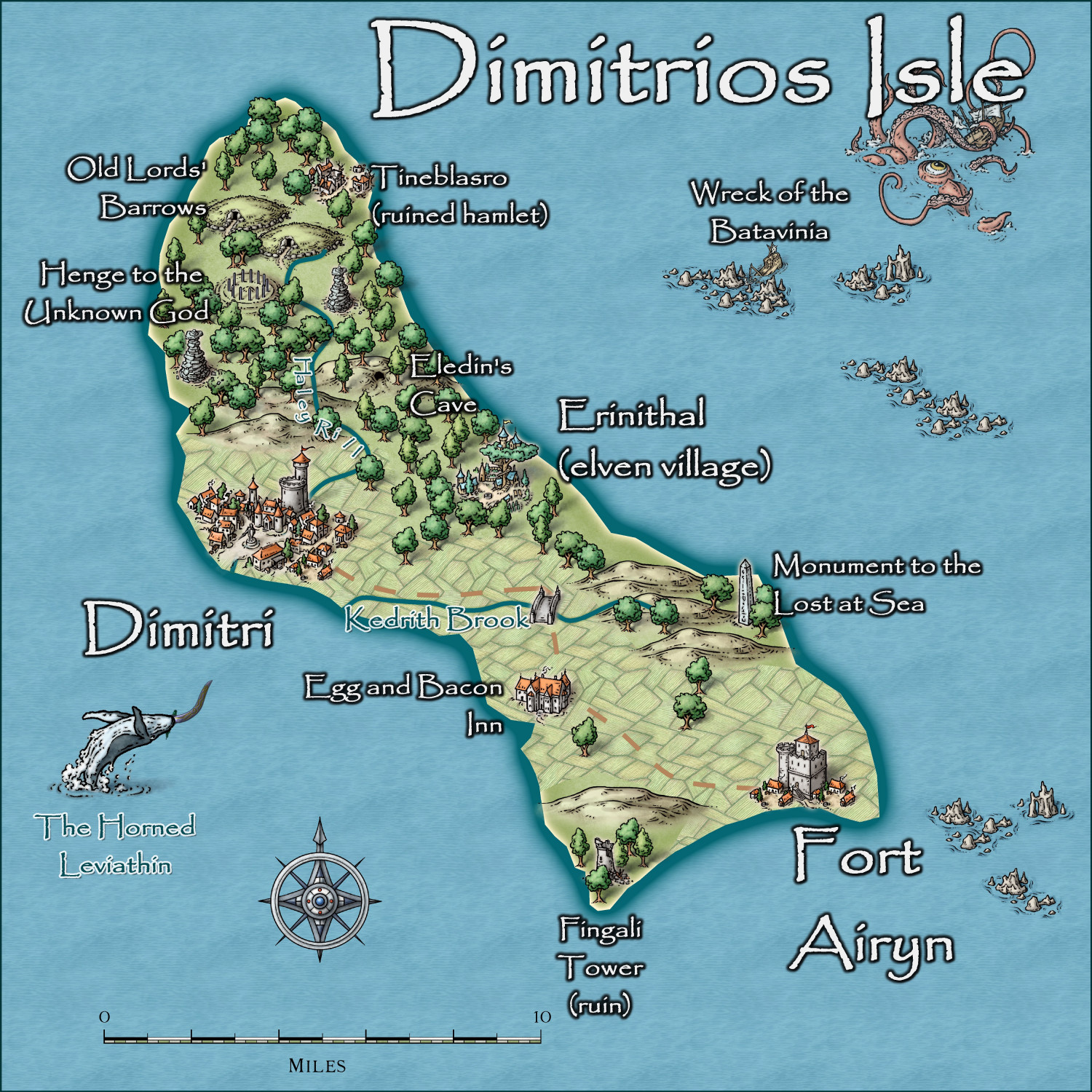
Larger map in the Gallery.
-
Watabou City REVISED (annual 157)
Here is what it looks like with all the bells and whistles from the Watabou generator now. You can even add you own text for various buildings of importance.

-
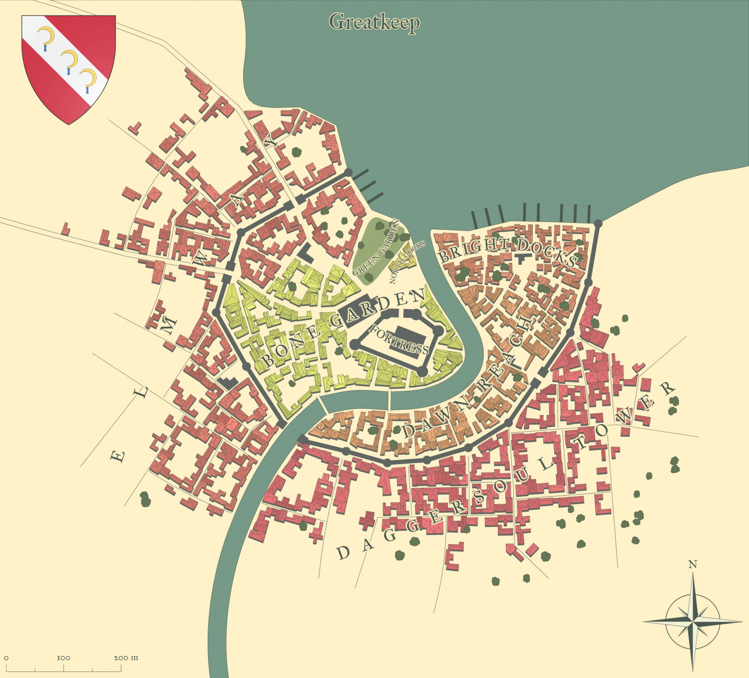
[WIP] Community Atlas Competition - Artemisia - Spiros Isle - Aretizo village
OK, here it is complete.
@Monsen Can you check the fcw to make sure all the fills and symbols comply with Atlas rules? Please.
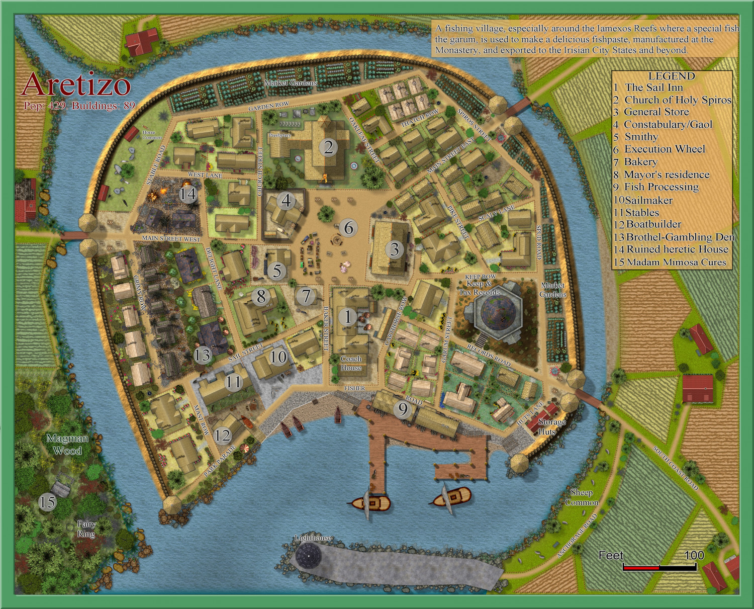
A larger version is in the Gallery: Image Gallery: Hardin — ProFantasy Community Forum

-
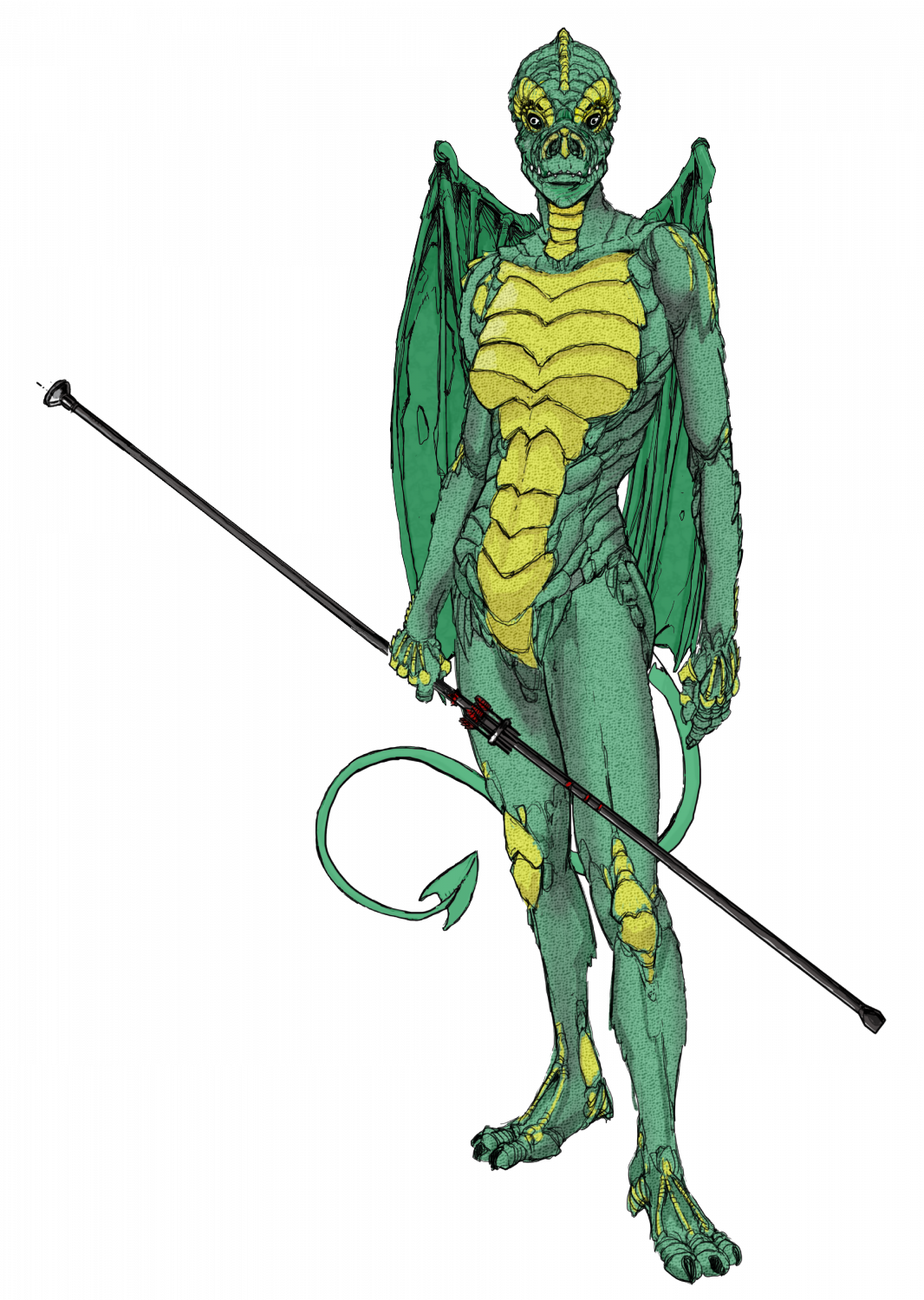
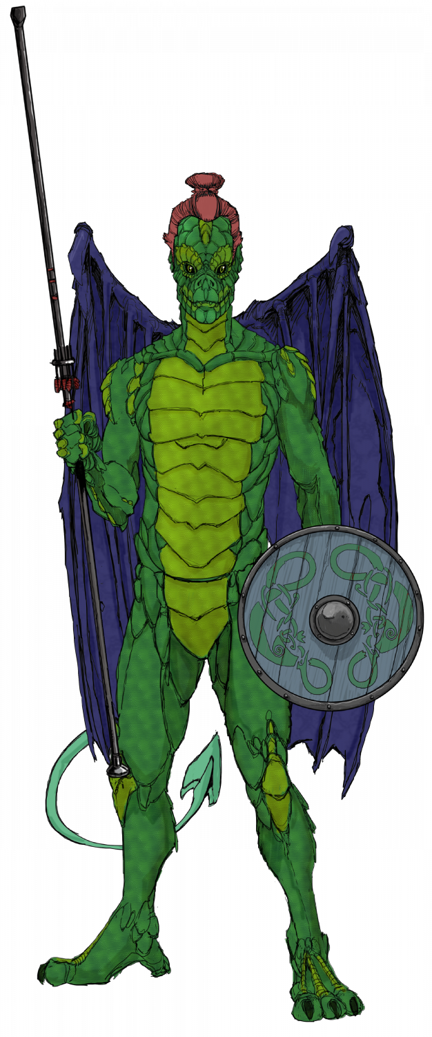
Ukadarlia
The two Drakona - these are derived from a completely different evolutionary path from humans-elves-orcs; and so cannot interbreed with them. Their wings allow them to glide more than actually fly, as they are almost a vestigial organ, and serve as sexual display, rather than functional. I would have liked to make them more iridescent, but CC3 doesn't have iridescent sheens - are there sheet effects that would allow this?
-
Ukadarlia
The Vynlings - a Nordic-like people.
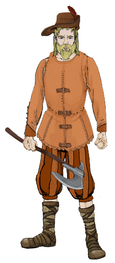
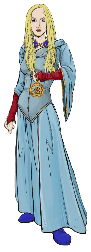

-
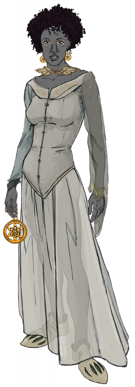
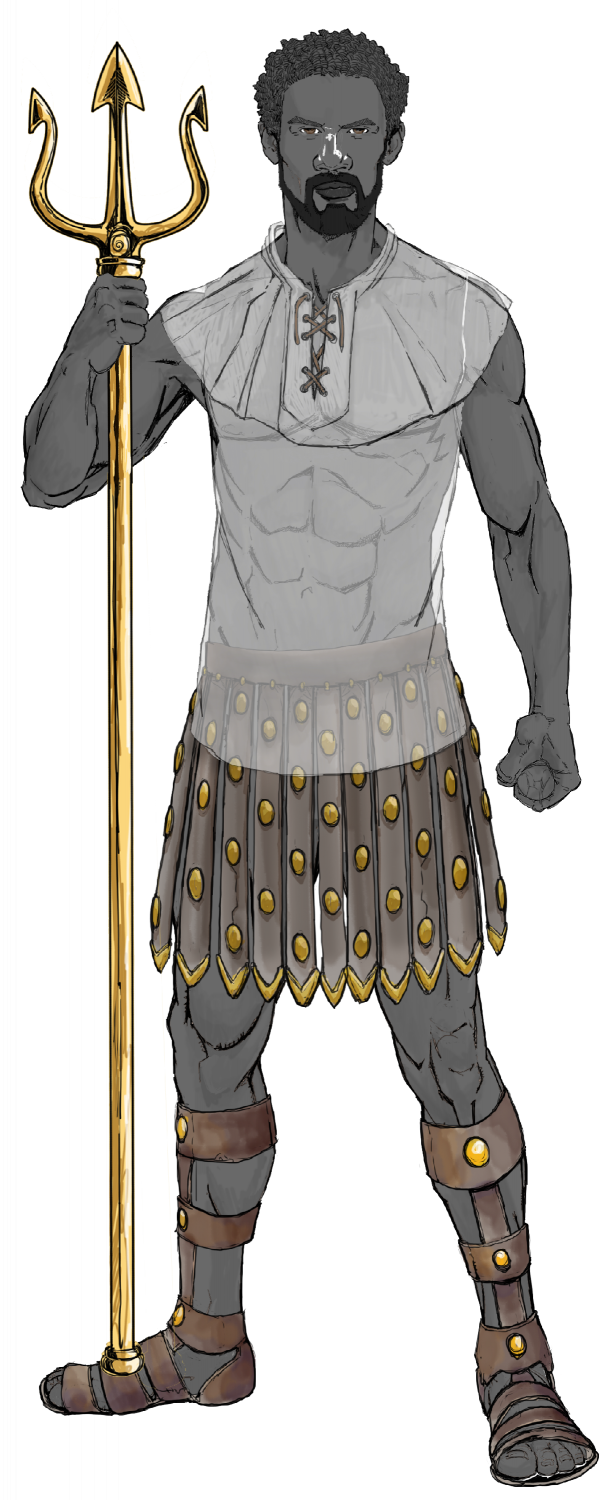
Ukadarlia
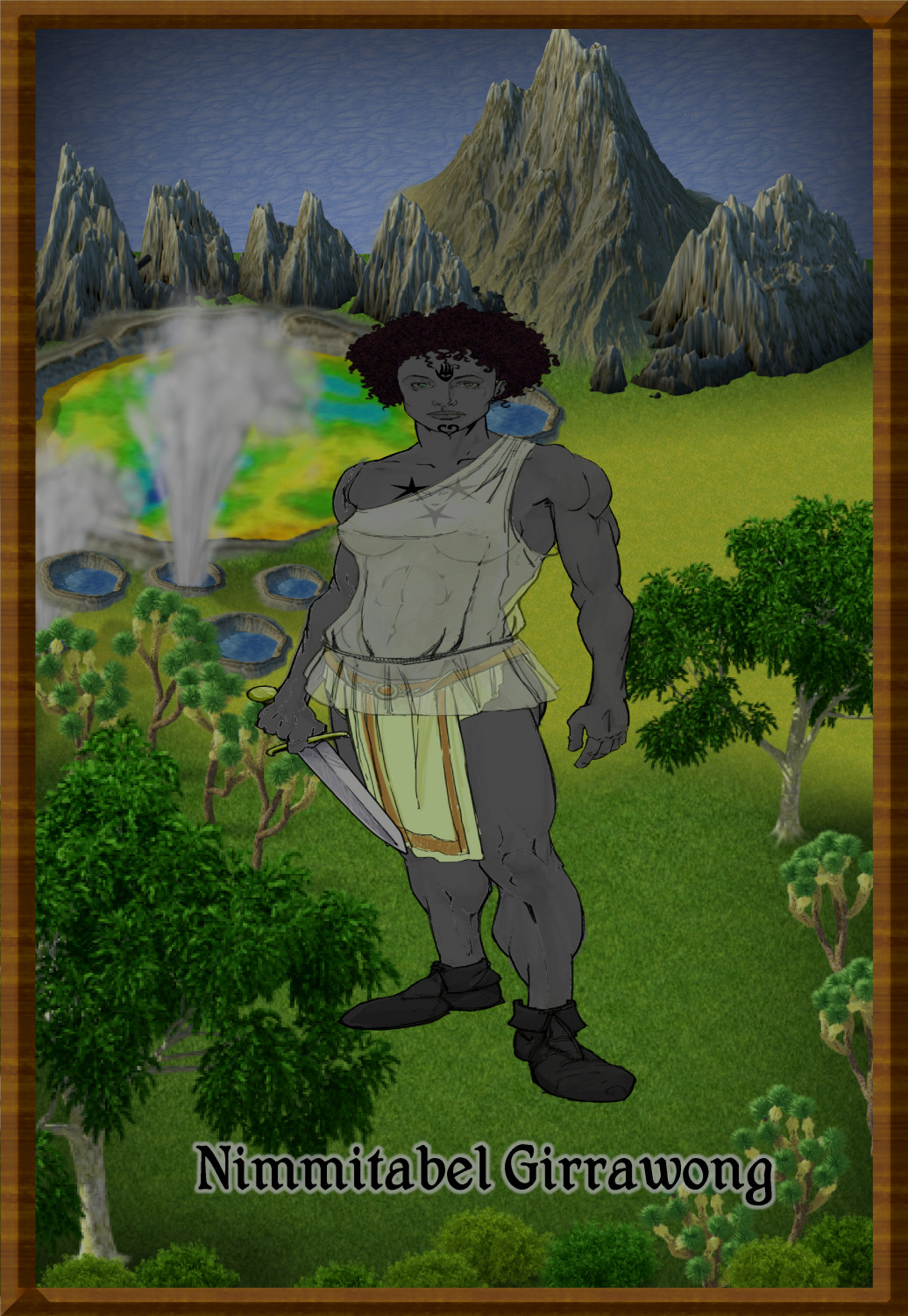
The male and female Swabentu - a South Sudanese- Masai -like people.
-
Community Atlas - Irisian City States - Megalith island
I couldn't resist my lurid urges. And I made a few corrections.
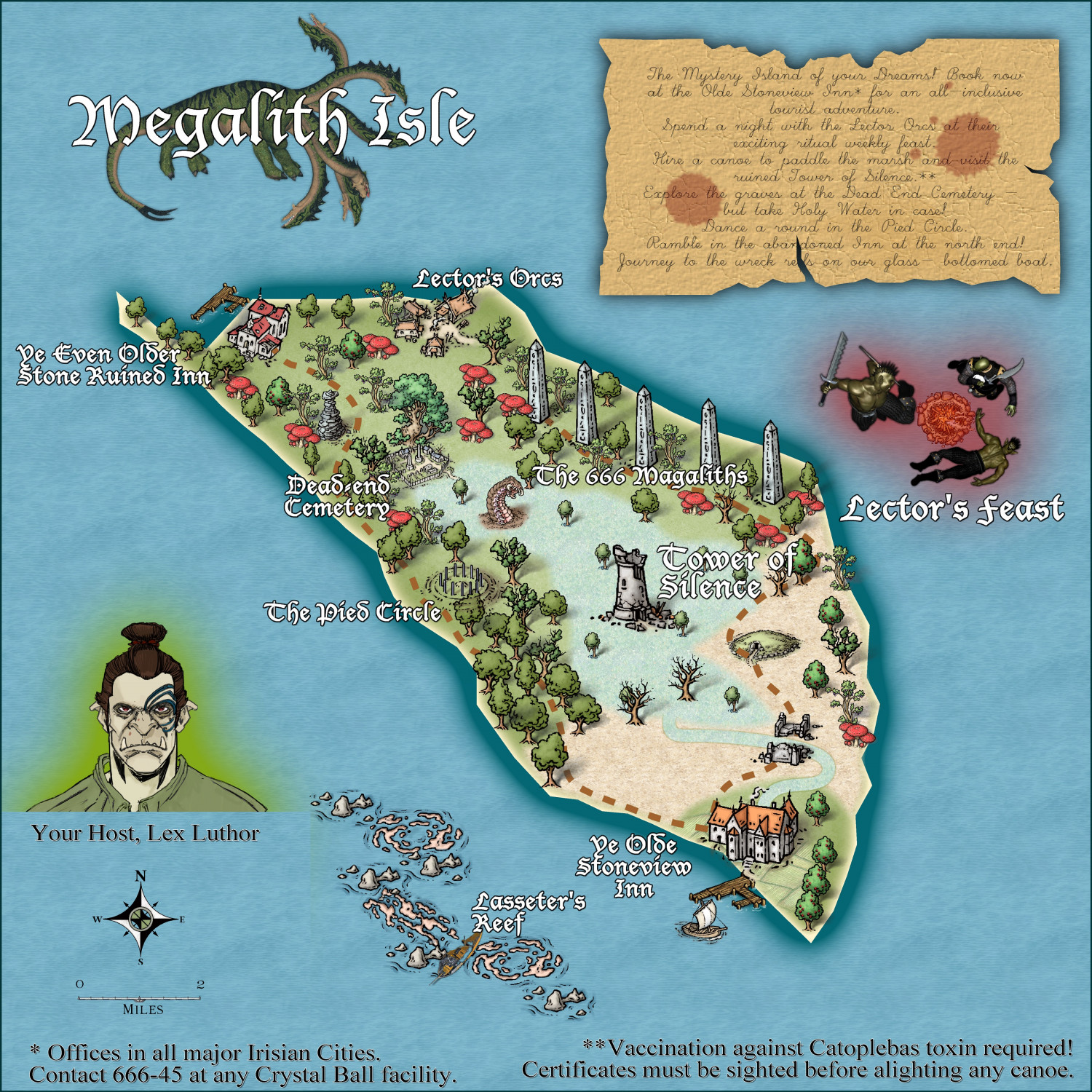
Hope you get all the quirky references. Lasseter's Reef was a famous reef of gold discovered by a guy named Lasseter, in Australia - and then 'lost'. Many expeditions have failed to find it - Australia's El Dorado. So who knows what this reef will hold?!
