


Quenten
Quenten
About
- Username
- Quenten
- Joined
- Visits
- 8,062
- Last Active
- Roles
- Member
- Points
- 3,090
- Birthday
- November 29, 1950
- Location
- Australia
- Real Name
- Quenten Walker
- Rank
- Mapmaker
- Badges
- 16
Latest Images


Reactions
-
Watabou City REVISED (annual 157)
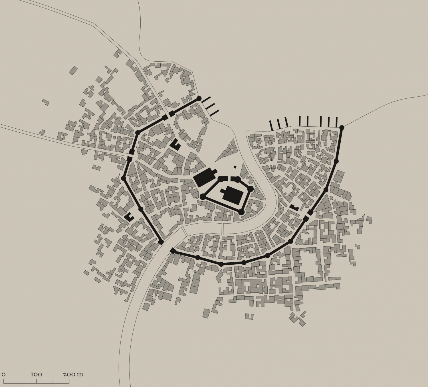
Since this great annual came out, Watabou had done heaps of modifications. And as a result, the SVG to DXF conversion doesn't work as seamlessly as before, making everything lines, and therefore unable to use the method as outlined in the annual.
I have experimented with this, and come up with the following solution, which makes everything relatively easy again.
Please try it out, and let me know if there are any bugs. Perhaps we can convince Ralf to do a revision of this.
I have also added a few of my own idiosyncrasies in the sheet naming.
This is the png of the city I generated.
I also attach the SVG for any interested.
The first most important thing is to just export as a SVG the actual elements you want and cut out all the pretty stuff. It is, after all, the street and building layout that we really want.
So ... in the generator, first check colour - make this either B&W, or Ink in the Presets.
Next, click on Style, and make sure you check or uncheck the following. Whatever I don't mention, you can choose as you wish.
- GRAPHICS: Check thin lines, leave the rest unchecked.
- ELEMENTS: Districts Hidden. Check scalebar only (if you want it, leave the rest unchecked
- BUILDINGS: Roofs plain, leave Raised unchecked. Otherwise, choose what you want.
- OUTLINE: Check buildings, water and roads
- MISC: Check Solids; Uncheck Show alleys and Show trees. I advise against choosing farms - they can be added as you wish, and I use the farms from other styles, especially where I can easily align the furrows using Shaded Polygons.
You should get something like the png above. ie B&W, no text or trees or extraneous lines.
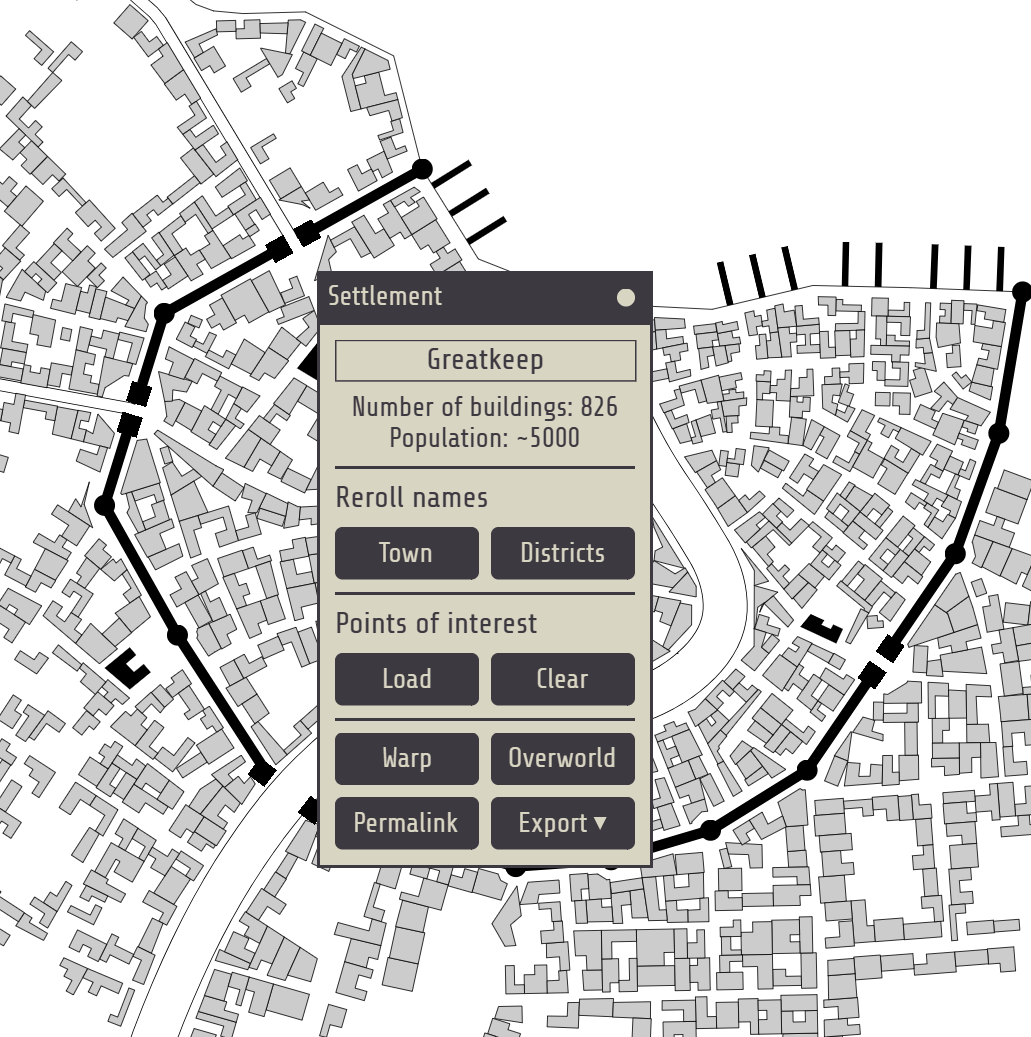
The number of Buildings and suggested population is available on the Settlement menu:


-
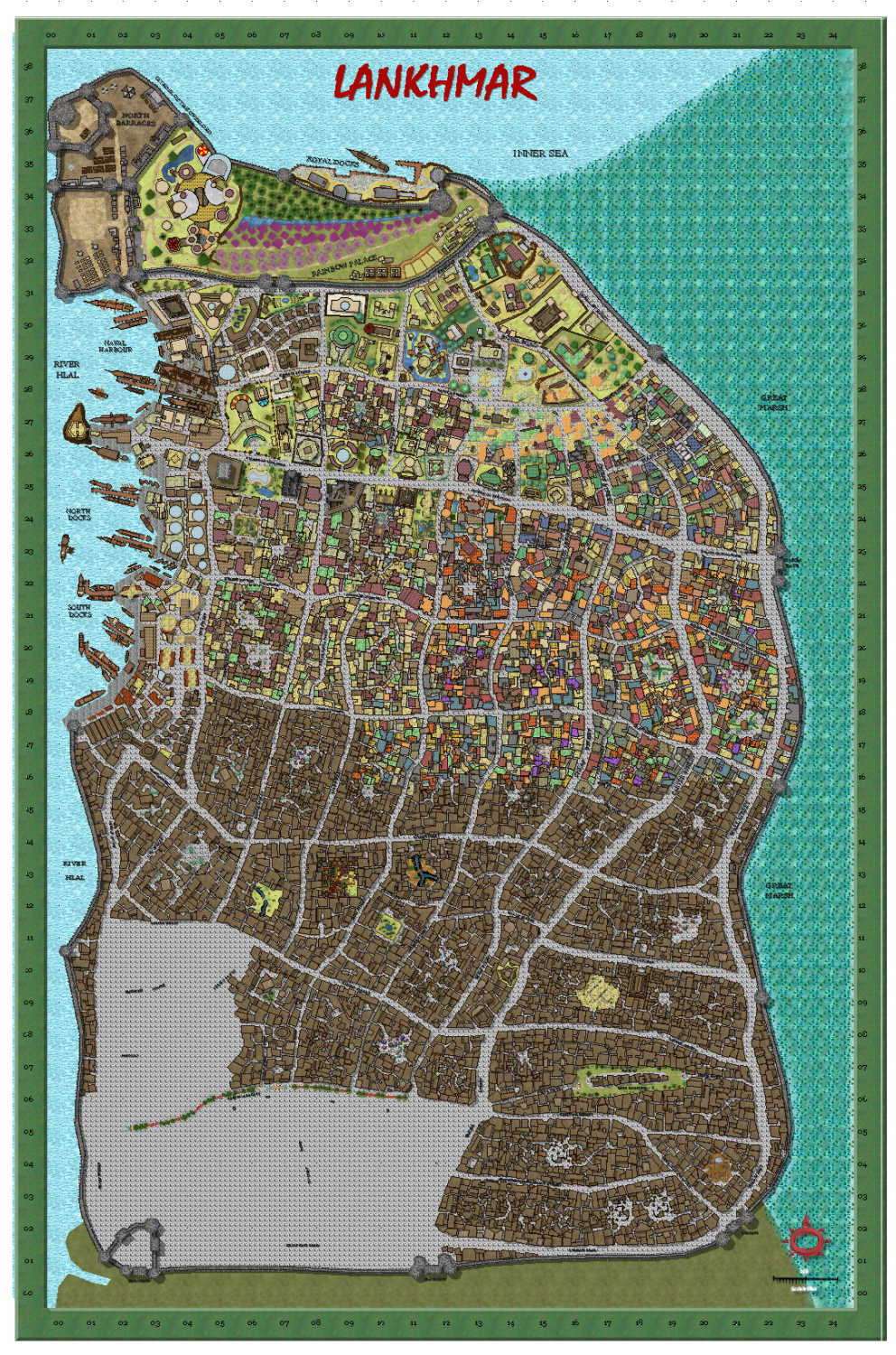
My version of Lankhmar
Further progress - also more 'colouring in' of the roofs as well.


-
Watabou City REVISED (annual 157)
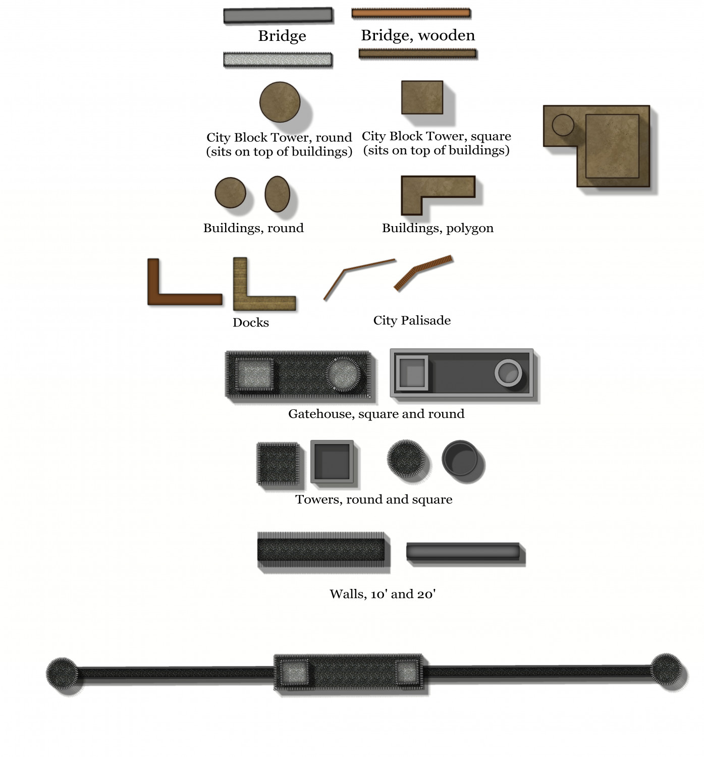
Here are some of the Drawing tools I am working on for a new version of Watabou Cities.
Please comment.
And if any of you have better ways to do crenalations with a drawing tool or macro, please let me know.


-
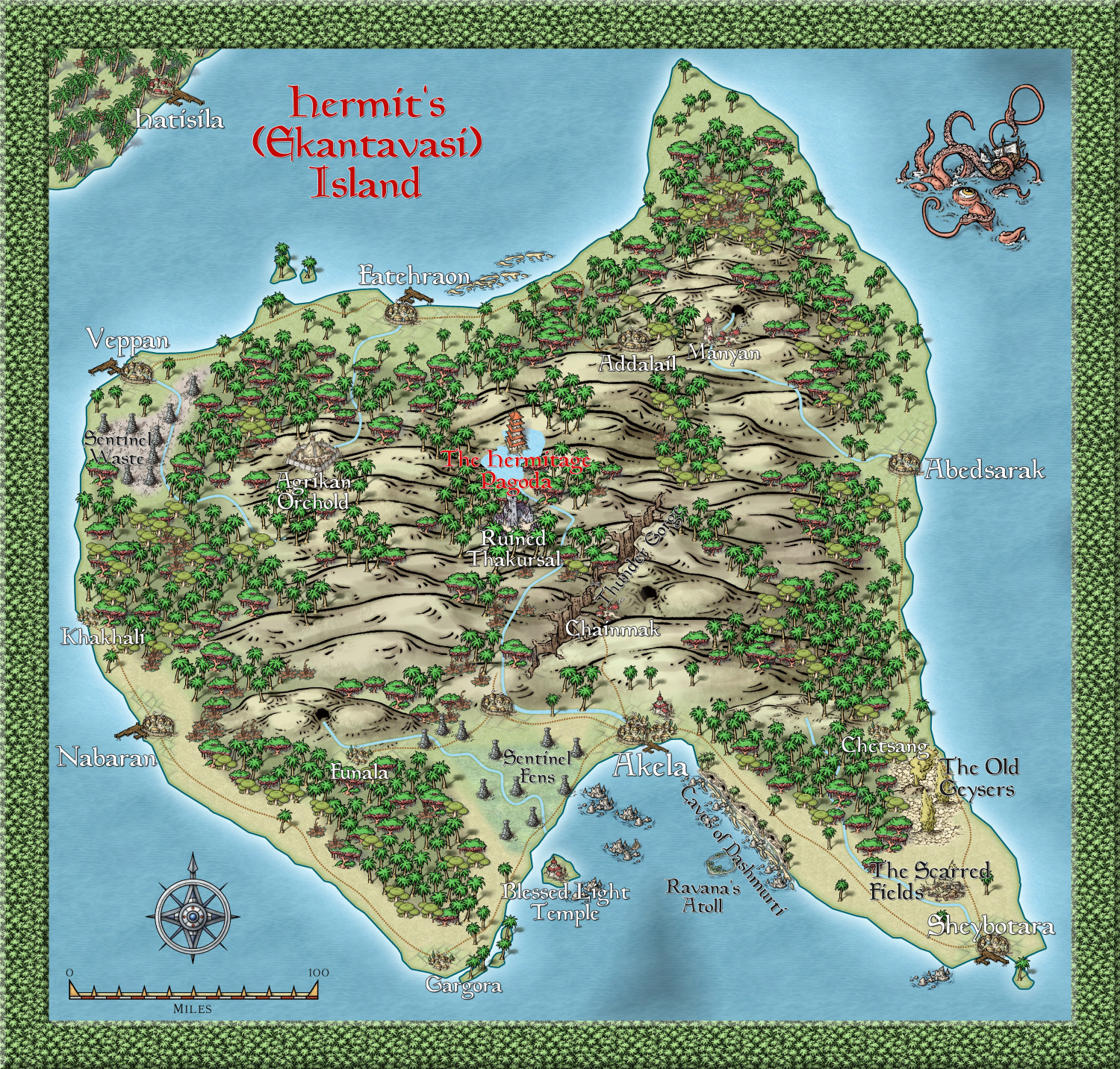
Community Atlas - Alarius - Hermit Island
Map is finished, I think. I will submit it to Remy Monsen when he returns from his well-earned vacation.


-
Community Atlas - Berenur - Rewiar
Here is the beginning of the region of Rewiar on the Berenur Continent, using the new style, which I think looks so gorgeous. @Ralf - more structure and marine symbols, PLEASE.
This is the region on the continent map:
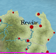
This is the map so far:

-
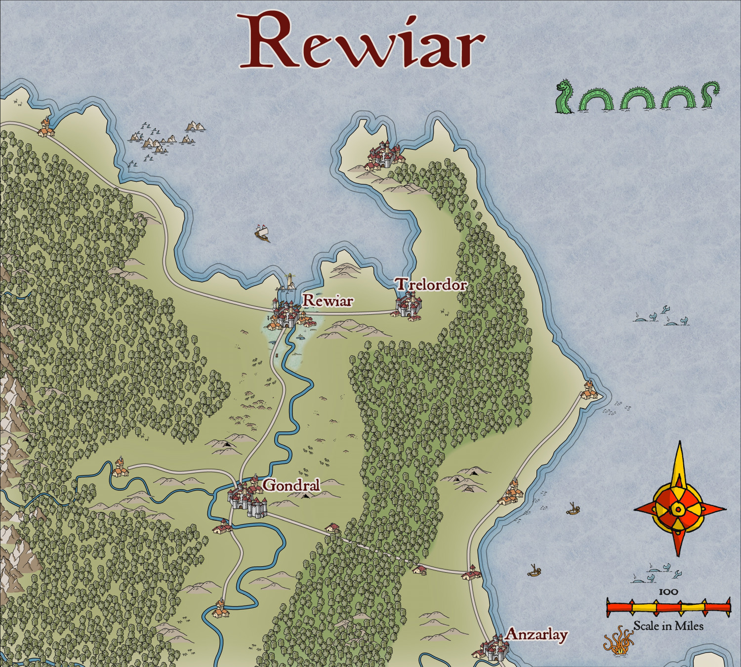
City of Cúrbán
This is the capital of the small Elven Queendom of Aillte-Lonracha, starting with the Watabou revised annual. I will do a bit of demolition etc, and also use symbols for the buildings from another annual (not decided which yet).


-
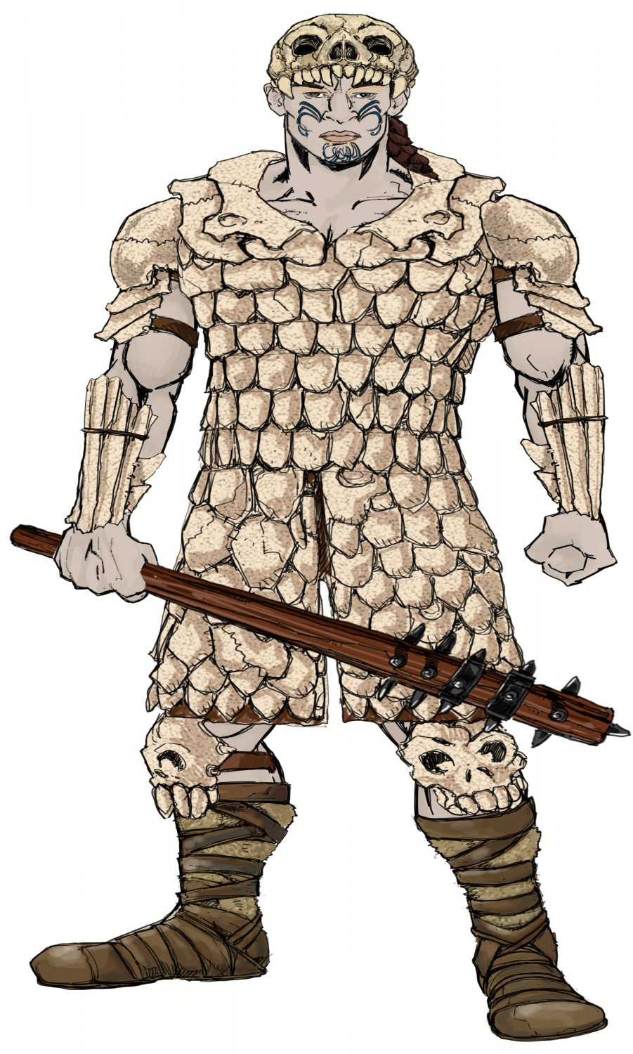
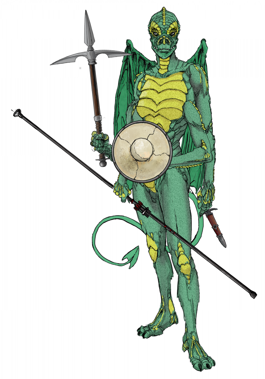
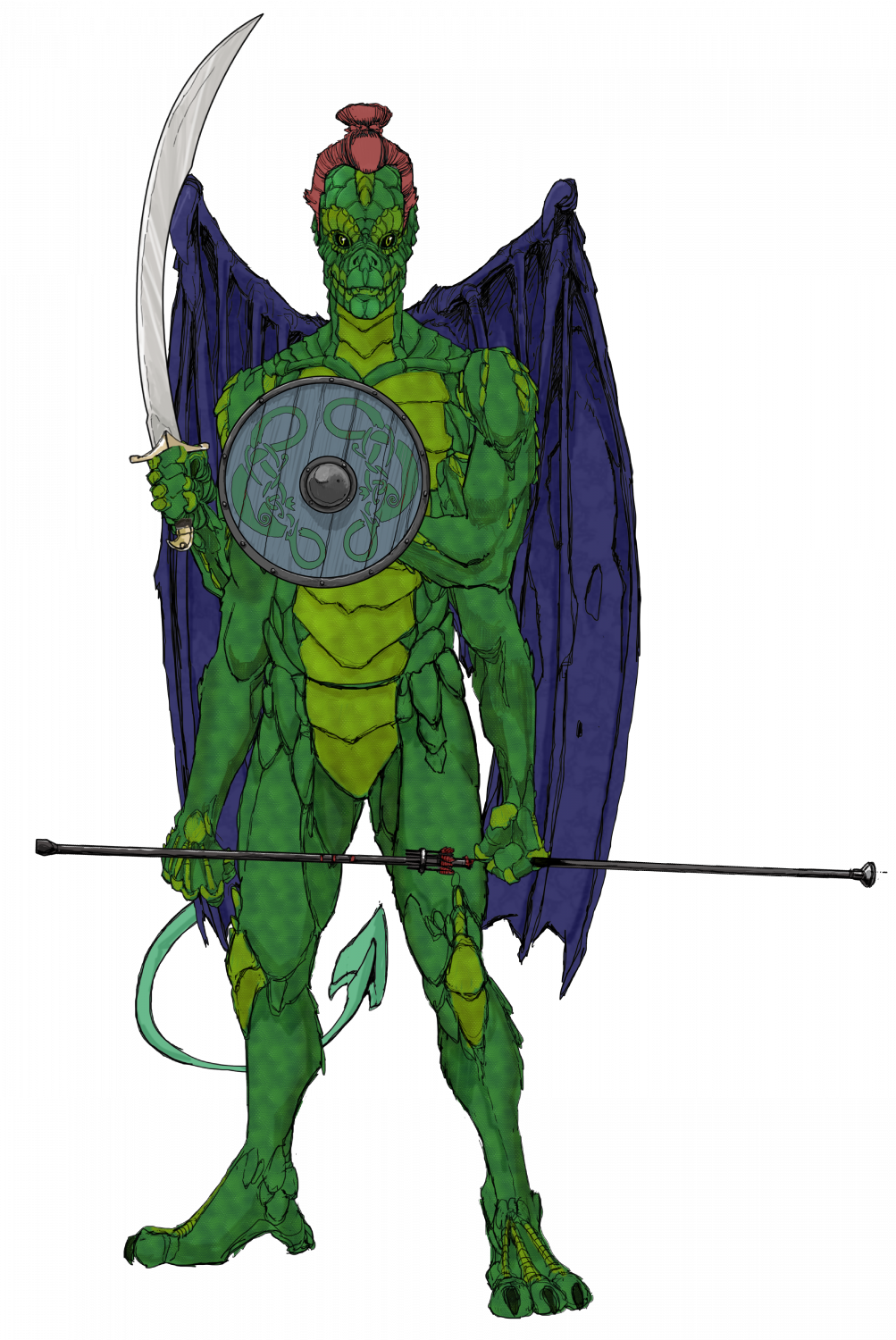
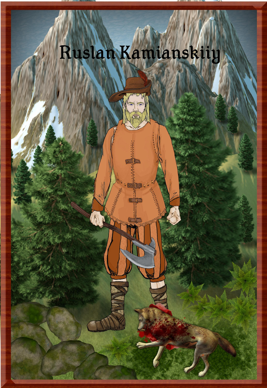
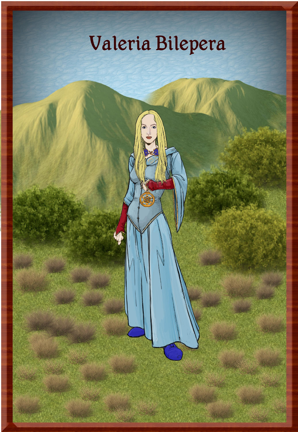
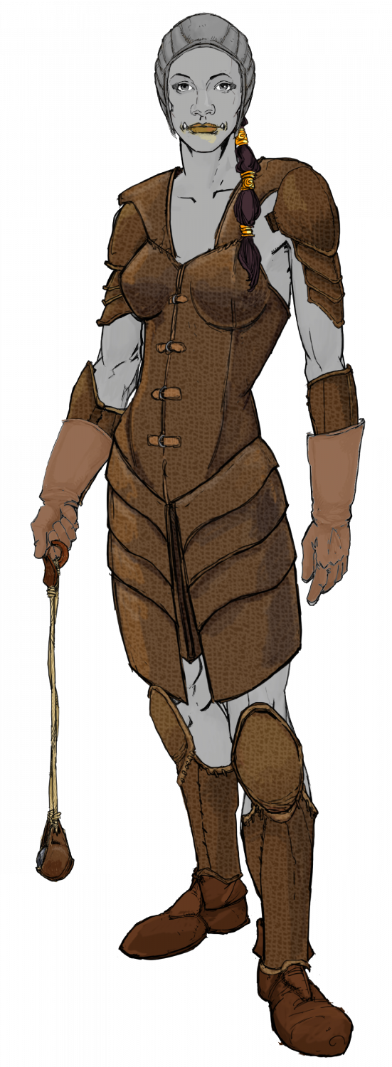
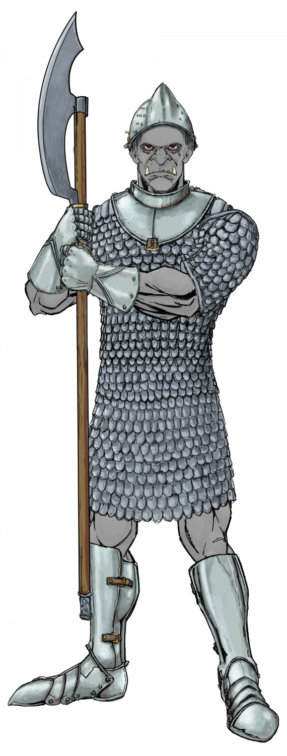
Ukadarlia
The Qesuik - adapted for colder climes.
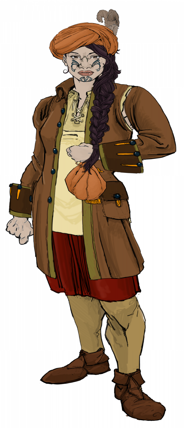
Revised characters. Hope this meets the comments below - I feel these are better as well.


-
Ukadarlia
I have decided to make the Drakona 6 limbed - I am not so sure it works with CA, but this will do, I think

-
The Ten Kingdoms
Final DM version of the Peaksland Kingdom (think mountains and dwarves). Names and sites are as per DM's requests.
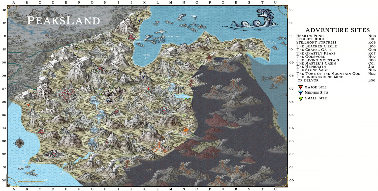
Larger view in Gallery

-
Frostlund - a land of adventure
Here is the 'nation' of Frostlund. it is primarily a Vynling (norse) federation of largely autonomous jarldoms, but with a High Queen as the bit-more-than-nominal ruler.
It is the region where the first campaign I have run will commence in 10 days time after a break from DMing for 33 years! Yes, I am nervous. The last edition of D&D I DMed was 2nd edition. Now it is 5th ed 2024. At least I have had about 6 months gaming experience in it - previously hadn't played since 2016 - and then that was 1 game after about 10 years absence.
The players come from Dalvik (in the upper right hand corner) and will start off overhearing a nasty argument between Sven, an old retired sailor, and 2-3 travellers to the town, exhibiting rather unsavoury attitudes (definitely more than a trace of Grimmir blood). [The Grimmir are the equivalent of the various orcish humanoids, but they can range from civilized Germanic types to yobbo Aussies, to southern USA rednecks. But the Vynlings do stereotype them as barbaric Philistines!]
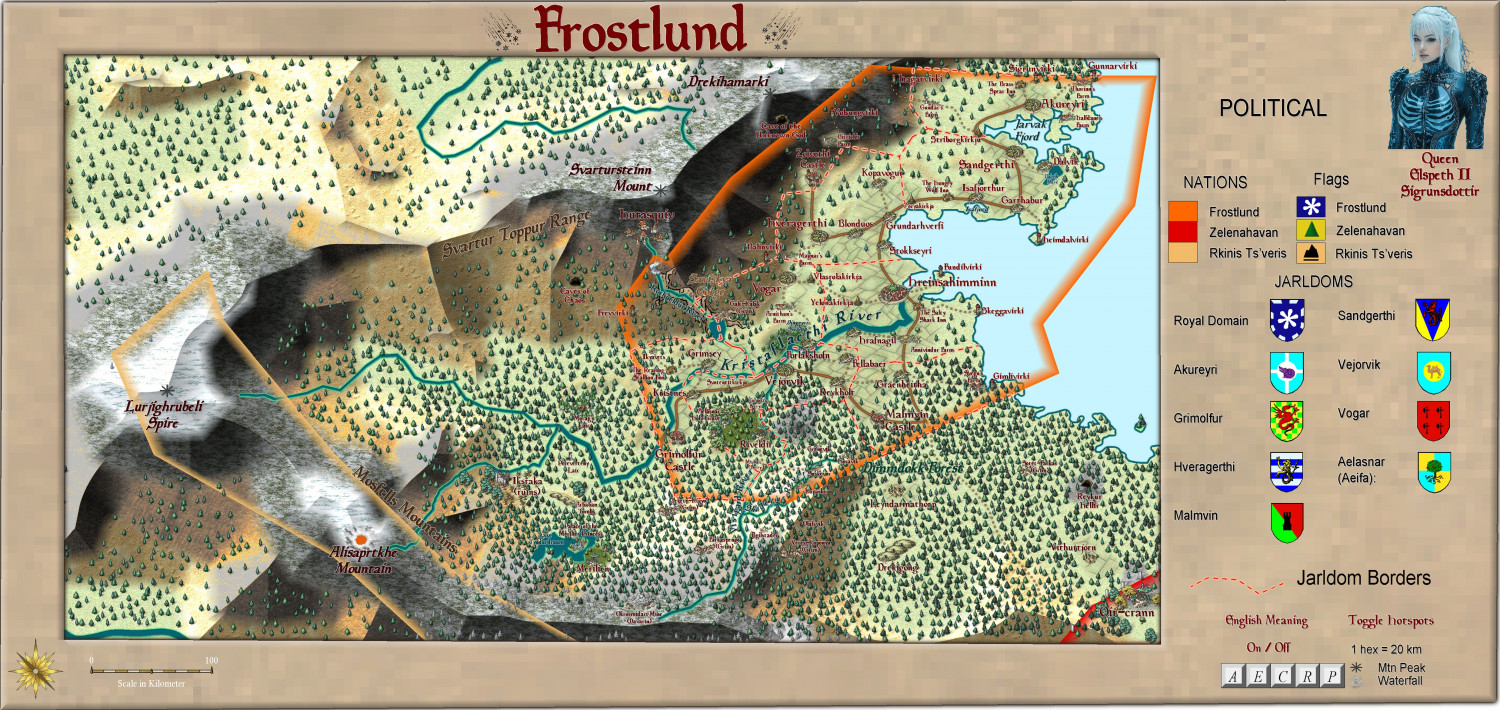
Larger version in the Gallery:
Image Gallery: Continent of Ukadarlia — ProFantasy Community Forum
Vynlings:
And the Grimmir
