Quenten
Quenten
About
- Username
- Quenten
- Joined
- Visits
- 7,187
- Last Active
- Roles
- Member
- Points
- 2,859
- Birthday
- November 29, 1950
- Location
- Australia
- Real Name
- Quenten Walker
- Rank
- Mapmaker
- Badges
- 16
Reactions
-
Creating greater depth
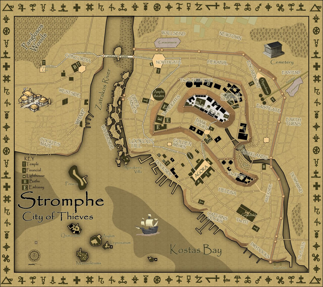
I tried to do something similar with the city of Stromphe, and ended up using cliffs and walls.
atlas.cdn.monsen.cc/atlas/artemisia/hi/stromphe city.png
-
City-State of Badirov - Modern Journeys style
-
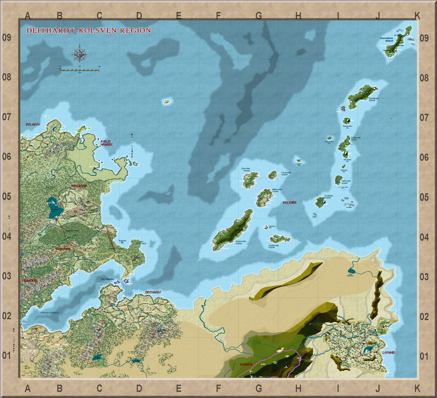
Deithardt-Kolsven Region
This is the thread where all discussion on this region will now be held.
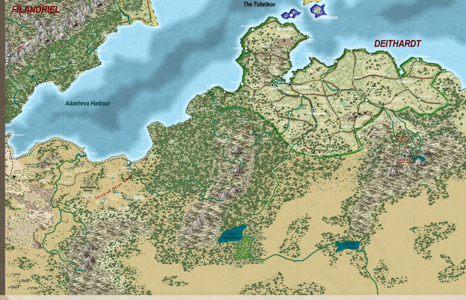
Here are three regions fairly completely mapped - the last being the least complete.
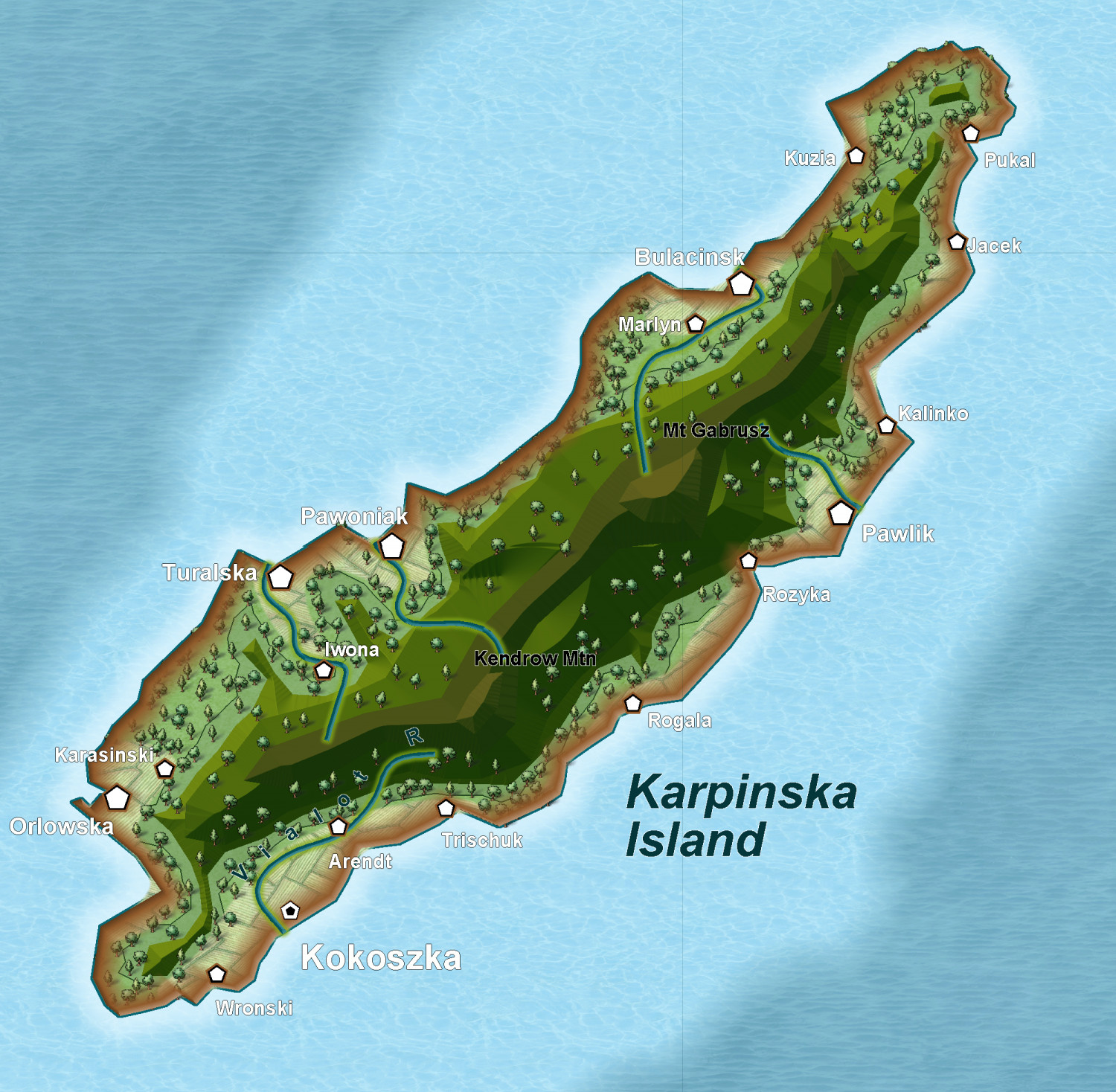
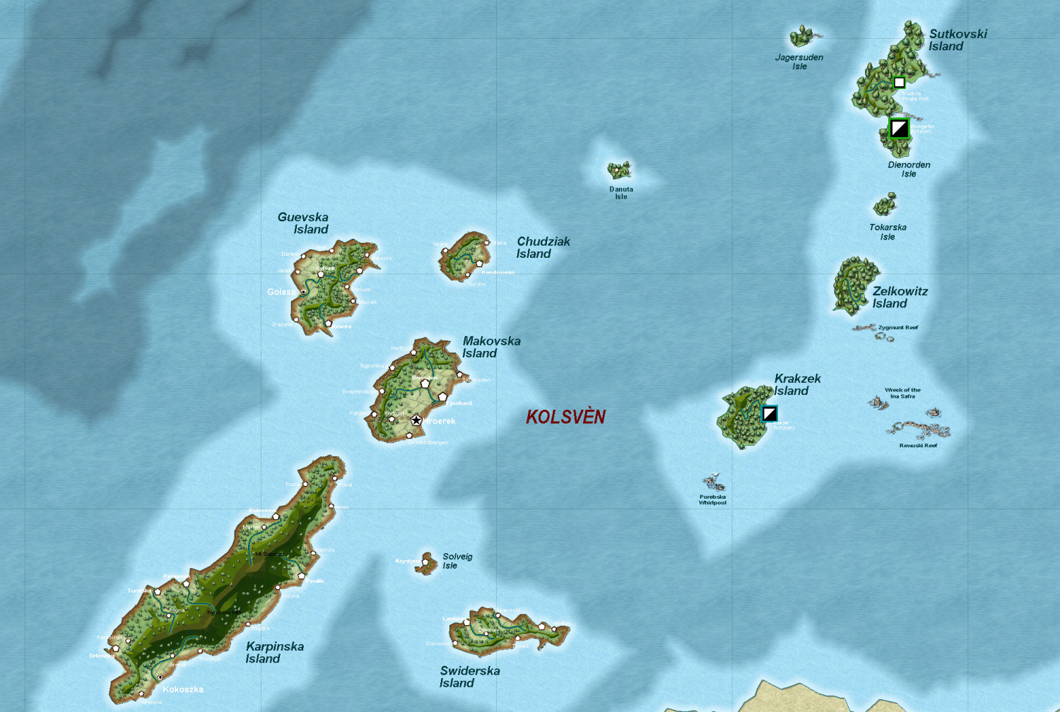
First, the 'Viking' kingdom of Kolsven
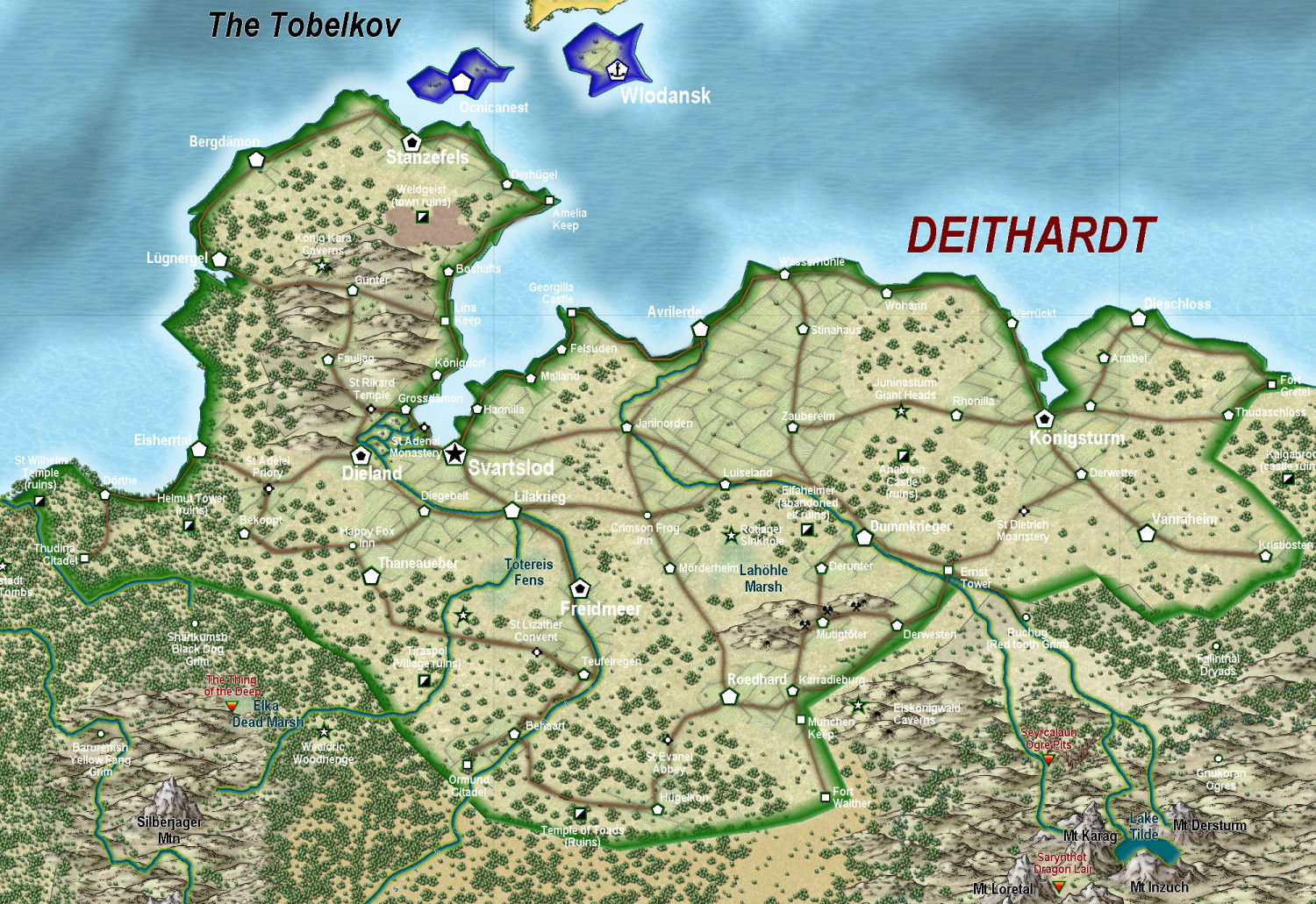
Next, the once great empire of Deithardt
With a close up of the remnants of Deithardt itself
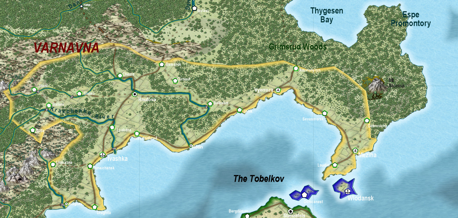
Two nations to the north of Deithardt - Varnavna - not so complete
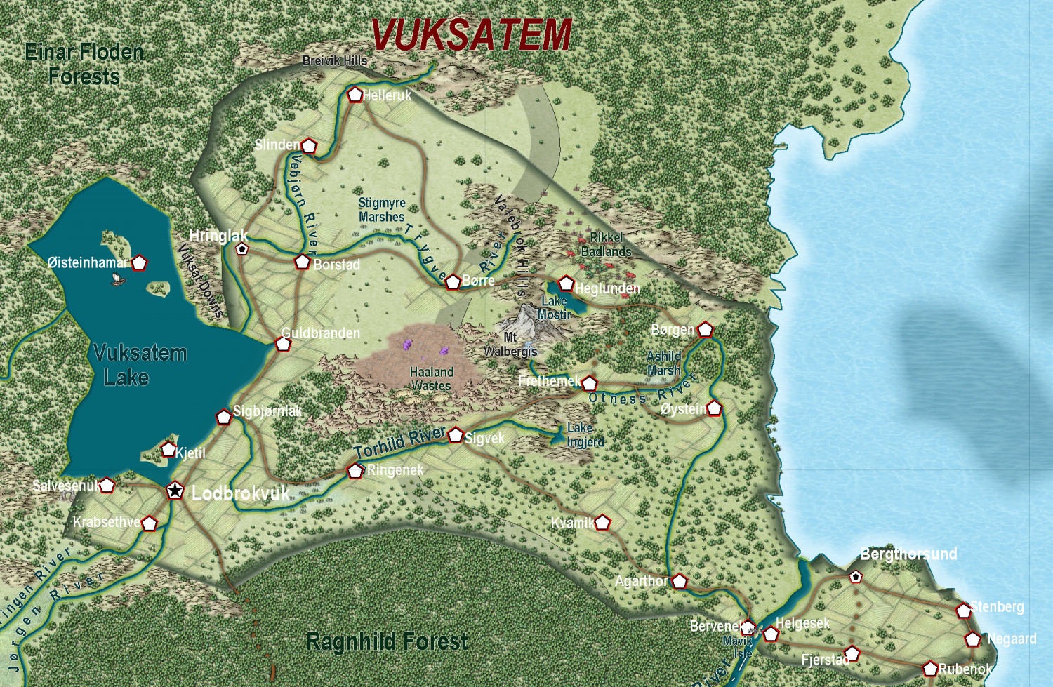
And Vuksatem
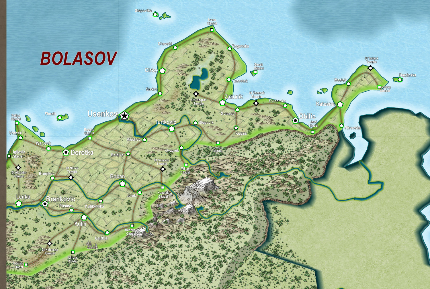
Finally, the least complete (what I am working on at present, East Bolasov (I had to divide Bolasov into two, as otherwise the overall map became too large - and perhaps that will make for a regional and perhaps ethnic difference - eg like East and West Ukraine).
-
I'm hungry for your lore!
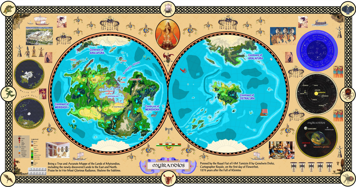
My rather old world of Myirandios.
Slightly smaller than Earth, with less of a n axial tilt, and slightly warmer global temperature.
Sentient beings: Draconians, and Muru (water dwellers) native to the planet. Most have 6 limbs and 2 tails and 2 spinal cords and 4 eyes.
Humans 'crash-landed about 20,000 years ago - went to war with the natives, and won. Developed mutant subspecies of Aiefa (elf-like), Filanthru (were-like), Fampeir (Vampire-like), Davarin (dwarf-like and Grim (orc-like). All can interbreed with each other, but miscarriages are very high.
The native species have a form of electro-magnetic abilities to use the EM spectrum directly - and this was also genetically engineered into humans. It was found however, that a gene on the X chromosome greatly enhanced the ability, so females are far far stronger in this 'etheric' ability than males, and so have become culturally the stronger and dominant sex.
The war against the native sentients was won only after a massive miscalculation by the human leaders (who eventually became so god-like in their genetically enhanced powers that they in fact became the human gods). A 10,000 year ice age descended quickly, decimating both human and non human species. A slow recovery began, but by then all ancient tech had been largely lost. The first to recover were the equatorial black human species - and so today, the black women fill the role that white men on earth have had.
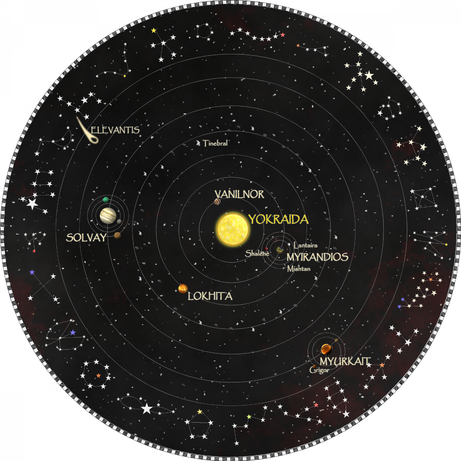
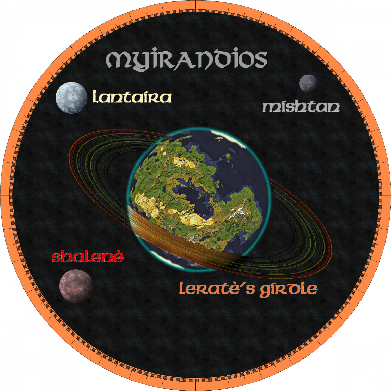
The planet has three moons - red white and blue. And a series of rings - the Girdle of Lerate. It is made of dark reflecting rocks, so doesn't produce that much nocturnal light - however, night time on Myirandios is a lot lighter than on Earth. And the tides are about twice as high/low.
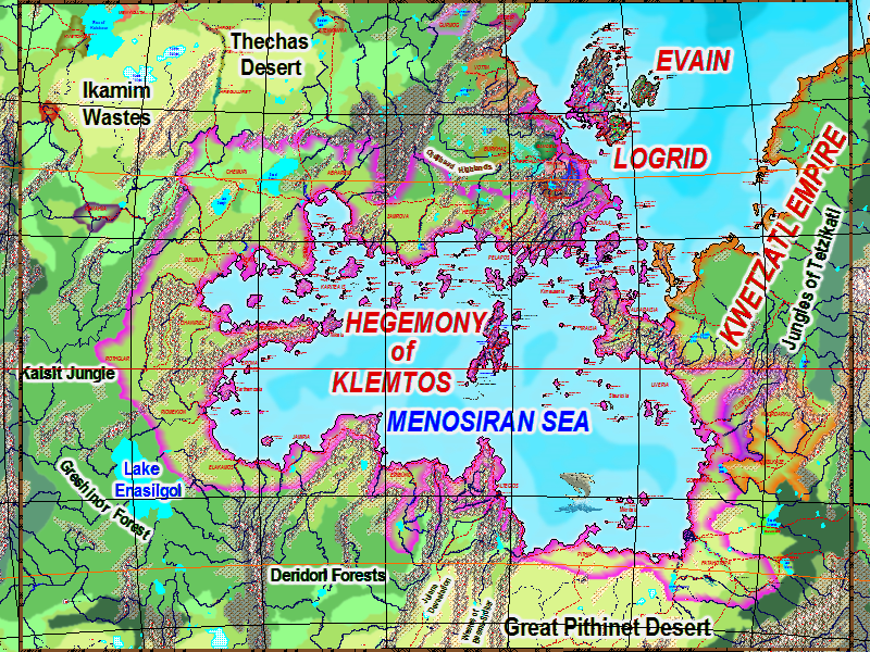
The main site of the story is based on the hegemony of Klemtos surrounding the Menosiran sea - a theocratic empire ruled by a triumvirate of three priestesses - the Magen, Maden and Midin. The Magen is the main political leader, the Magen the spiritual leader and the Midin the equivalent of Secretary of State. When one dies, the others move up in the hierarchy, and a new member is chosen from twelve candidates who have been training in a special school for priestesses. Those that miss out, are appointed as governors or Justices etc. So the leadership is highly trained and the succession is almost always ordered. And so of course, there is a degree of social and technological stagnation.
The current crisis involves increasingly successful incursions by an alliance of grim and tribal humans who worship just one God (the Red Goddess, Shalene) instead of all 18. They have discovered how to use gravity in the same way as others use etherics (E-M manipulation) and this has caused the hegemonic armies to suffer very rare defeats.
Etheric ability is genetically endowed, but like intelligence, some have virtually no ability (the etheric cretins), most can light a flame, or produce enough power to defend themselves (the equivalent of 'normal' intelligence) - and because females are far stronger, males can easily be subdued. Finally, only a very small proportion are of genius level, with the ability to use most of the E-M Spectrum, and so be actually useful in their abilities in military, health, communication etc.
This is the area for adventures, set 1000 years after the fall of the Hegemony. Most of my maps in the Atlas plus others are in this area.
-
Community Atlas - Alarius - Hermit Island
-
Myirandios - Hardin Region - Yamatji
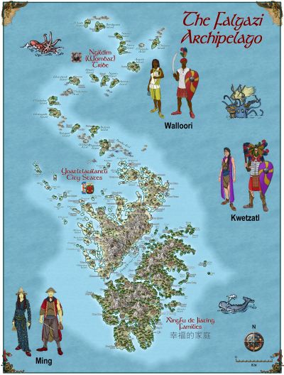
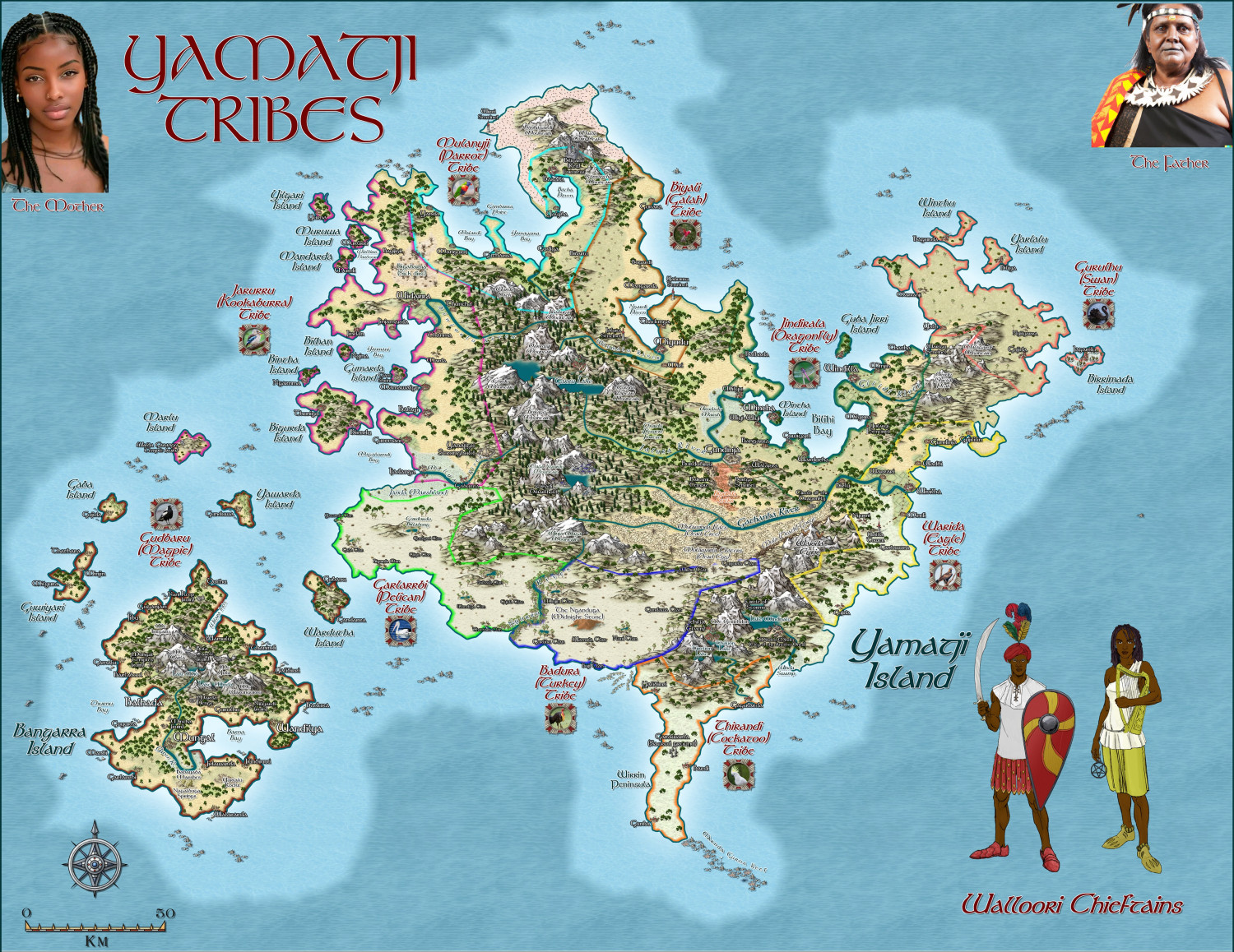
Here is another island group in the Hardin region - inhabited by the Walloori, whose language and naming details I have taken from the indigenous language of the peoples of this area where I live in Geraldton, WA - the Yamaji or Wajarri people. However, the people themselves although dark skinned, look more like, and dress like medieval Indian people.
The larger zoomable version is in my gallery: Image Gallery: Hardin — ProFantasy Community Forum
-
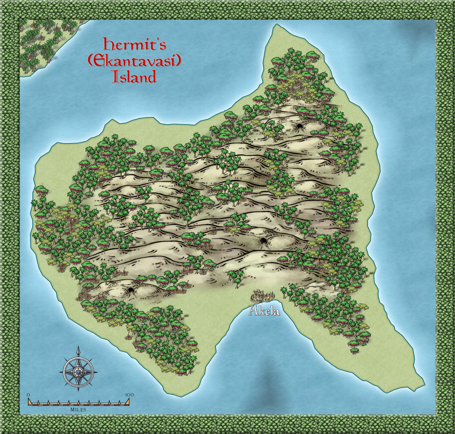
Community Atlas - Alarius - Hermit Island
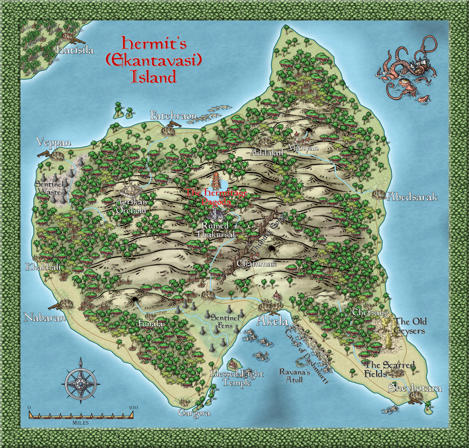
This island is tropical, and shows only one settlement, a hut village symbol. However, given the actual size of Alarius, and even this island, which is roughly 350x350 miles in dimension, I am going to imagine that as a rather large settlement, albeit a hut like one. I am using Hindi based names - the alternative name is Hindi for Hermit, and Akela means alone, or Lonely.
But there will be smaller hut settlements spread around.
The Hermit will be located in a special geological feature - not sure what yet. certainly not a mountain, since no mountains were even hinted at here.
Anyway, this is the beginning of the Hermit Kingdom - now where have I heard that phrase before. hehehe
-
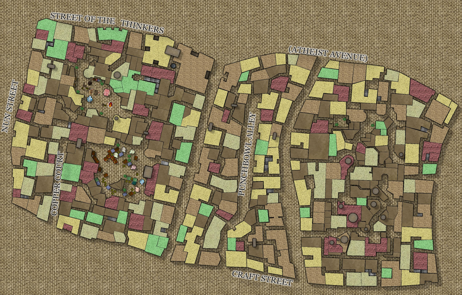
My version of Lankhmar
This is obviously going to be slow going. But here is another block done. I will try to get a block done a day - see how I go - lol!!
I am using variants of the geomorphs that have been published. I have them as bitmap files and I insert them into the drawing as required.
For the main map, I am using this version: https://www.worldanvil.com/w/nehwon-ptahsekhet/map/30d7881c-3b29-439b-9f07-e29430492207
Here is today's extension. Still not happy with the roof fills, or the street fills, but they will do till I get the city complete. Easy to change over the fills.
-
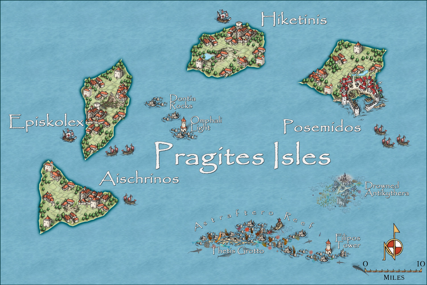
Community Atlas - Irisian City States - Pragites Isles
-
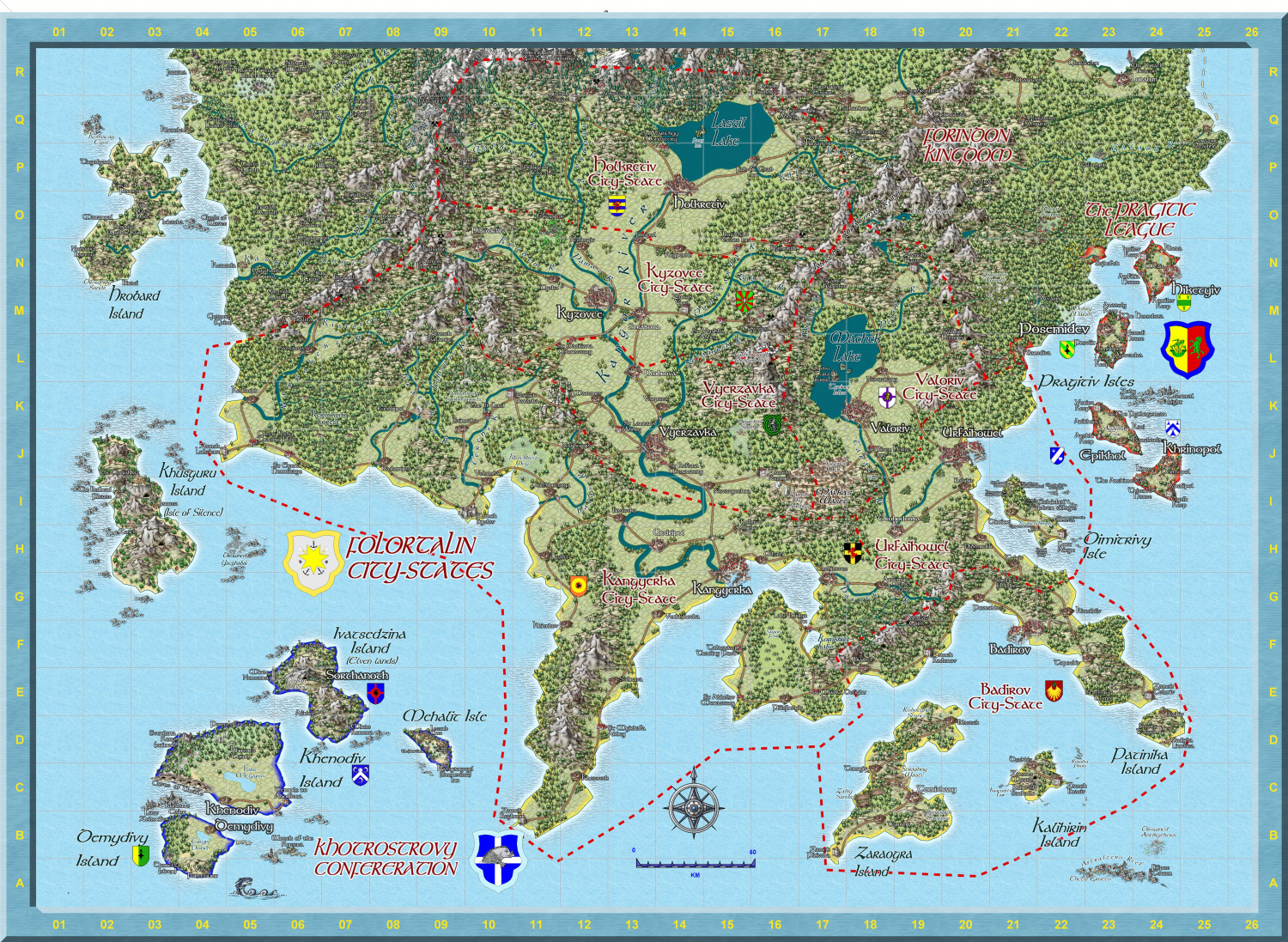
Hardin region of Myirandios
I am making great strides on my project. I have now completed making separate maps for each region on the Hardin map. This is one of the more complex - the Folortalin City States, which I have now completed to my satisfaction. (though I might add a character or two, perhaps - two opposing political figures?)
Sorry I can't give more detail on the map on the forum, it is already 9,6MB here, but I have saved it as a 10000 x 10000 map (105 Mb Jpg). I have also attached the FCW for any who are interested.


