Mapping Humor: Time Zone Map
 Monsen
Administrator 🖼️ 82 images Cartographer
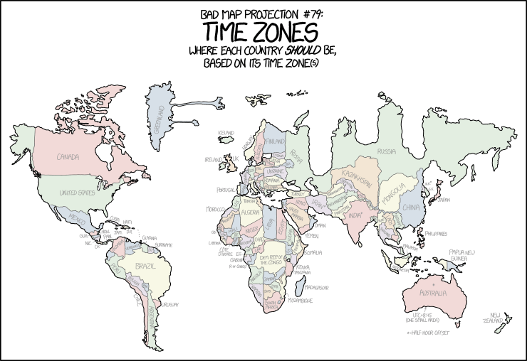
Thought we needed a bit of mapping humor in this busy season. Found this on xkcd.com, and while this one is a bit old, I am sure not everyone here reads xkcd, so it will be new to some people.
I love xkcd because Randall takes a scientific approach to the most silly ideas, and spends the time required to do it properly.

There is a larger version of this map if you click through to the xkcd site, and then click on the image there.
I love xkcd because Randall takes a scientific approach to the most silly ideas, and spends the time required to do it properly.

There is a larger version of this map if you click through to the xkcd site, and then click on the image there.


Comments
https://www.timetemperature.com/time-zone-maps/large-world-time-zone-map.shtml
Also, is the proverbial question is what Zulu time is it during DST in say, Fort Riley, KS?
Can't help feeling that timezones map would have been more entertaining if the fractional zones had been given separate vertical offsets (Nepal and the Chatham Islands east of New Zealand both have ¾-hour offsets for extra confusion, as does the unofficial, but locally widely-observed, Central Western Time Zone towards the south-central Australian coast between roughly Border Village, South Australia west to Madura, Western Australia), and if all the island variants had been included too - looking at you Kiribati, spread across two timezones (and pushing the International Date Line well out of kilter too) in the central South Pacific with +13 and +14 hour differences to UTC. Jakub Marian's 5 weird things you didn't know about time zones webpage is worth a look in this regard.