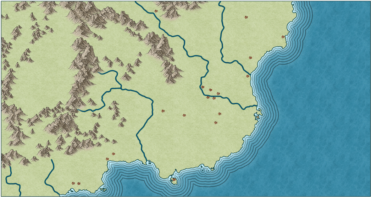
WIP: Regional Map
I've been working on mapping a part of my FT3 world. The map is of the earliest age, roughly equivalent to the neolithic period on earth. I've placed about 20 settlements on it, all using small versions of the icon used for cities. I won't go into detail about the rationale behind the cultures and placement here, except to say that its based on the distribution of early farming communities on our own planet. The area is loosely modelled on the middle east/asia minor/southeastern europe region.
Anyway, the map is still in its beginning stages. I've put a lot of work into mountain placement, and I wondered what some of you thought of it. It's in the Ancient Lands style.
Anyway, the map is still in its beginning stages. I've put a lot of work into mountain placement, and I wondered what some of you thought of it. It's in the Ancient Lands style.


Comments
Great choice of colors beneath the mountain & hill areas
This, by the way, is the completed map, for those who haven't seen it on Facebook:
I don't know whether PF will one day make a macro for drawing rivers that taper off towards the springhead, but for now we do it by breaking the line in several places and changing the properties of each piece in turn to make it a slightly thinner line than the last one.
Everyone has their own way of doing it, but here is mine if you want to have a go.
- Draw the river start to finish with the freehand drawing tool with line width set to 0
- Match up the junctions carefully at the node level by snapping the ends of the tributaries with nodes on the main river
- Break the main river down into segments between each of its tributaries
- Start at the springheads and give each of the segments a line width that gets larger and larger as you move downstream, remembering to add the width of the main river and the tributary river together for the next segment in the downstream part.
- Convert all the segments to smooth lines.
You should check out JdR's river macro.
Thanks Sue and Shessar for the advice/tool on making better rivers. I am working on learning how to do it both ways.