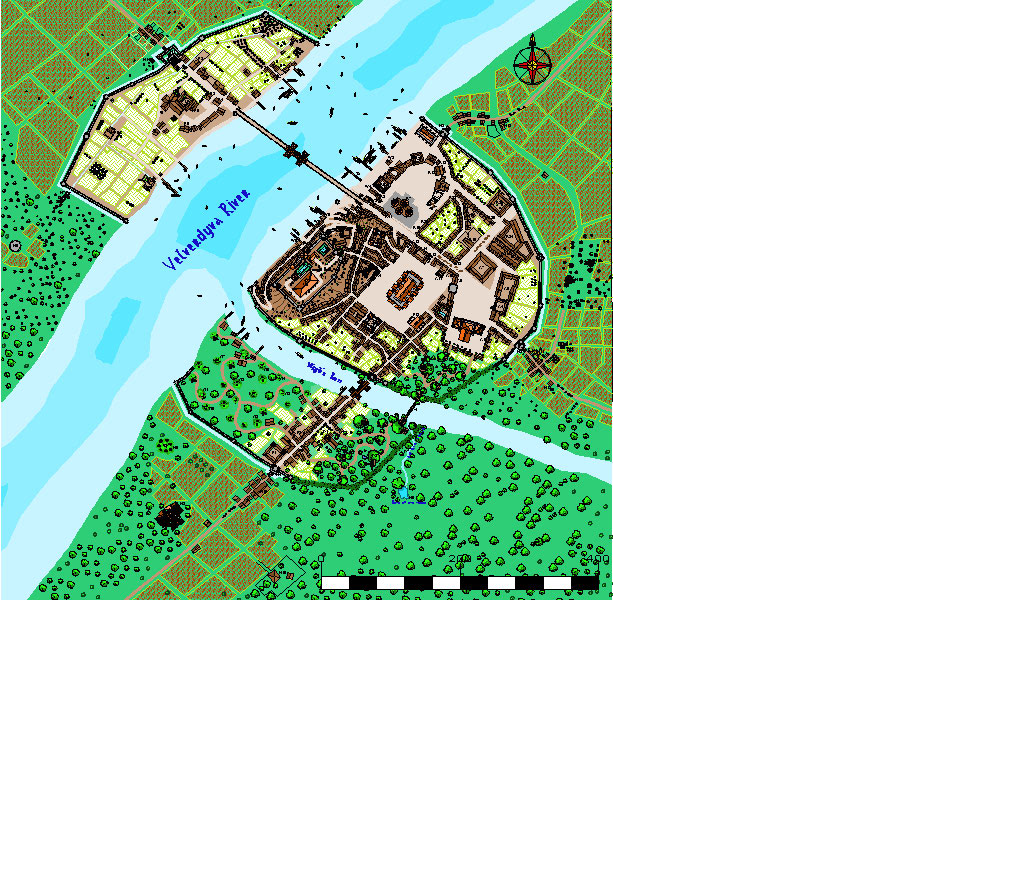
Map Questing
First of all, I'm not sure if I am posting this in the right place so I'll apologise to admin in advance if so.
What brings me here is a quest to find certain maps that I now believe for various reasons were produced on CC2 city designer. At present I am in the process of running a D&D 5E conversion of the original Temple of Elemental Evil, in its original back ground in Greyhawk, and at the moment I’m addressing the need for the background of the city and state of Verbobonc. I’ve have found an excellent key for the city, although it is set about a decade later than the events of ToEE, by some one called Banesfinger. The only problem is maps.
From what I have ascertained Banesfinger did a general overview map and more detailed district maps in around 2002/3 using CC" City Designer. All I have managed to find out there in the ether is a very low resolution copy of the general overview map; it’s that bad I can’t even read any of the writing on it. See the attachment below.
Can anyone help and point me in the direction of a decent copy of these maps.
Finally; even if I don't find these maps this search has had the positive result of leading me to CC and I will be picking up a copy next pay day, well impressed :D


Comments
And welcome to CC!
I'm not sure if you're only looking for the CC2 version of the Verbobonc map done by Banesfinger, or any map of the city you could use to base a CC3+ version upon. I did find a couple of maps of the city online is all, but not CC-ready ones. There's a rather nice hand-drawn map here by Scott Sime, and another here by Russell Akred (both are JPGs, but interestingly the city looks different in each version). I also found this really attractive 3D line drawing of the city.
However, like you, I've had no luck tracing the CC2 version online. What I'd suggest is you might try contacting Banesfinger directly through the Forum on the EN World website here, because according to Post #16 on this EN World Forum topic the CC2 map had been posted to "the website" on 7th April 2003. Unfortunately, there's no link, nor an indication as to whether this meant the EN World website (couldn't find it among their various resources or downloads still, if so), or the lost one where the other maps were originally hosted (which doesn't even survive on the archived pages preserved via WaybackMachine, as I suspect you've already discovered!). While you'll probably need to join the EN World site to ask, Banesfinger was noted as being still currently active on the site at least.
Hope this lot helps!
I have all the original Greyhawk material produced by TSR and, while I can't help you find any CC2 maps, I can provide you with some of the originals that you could use as a starting point for making your own maps.
Here's the only map of Verbobonc produced by TSR. It was printed in module WG8: Fate of Istus. The entry in the module gives an overview of the city, but encourages DM's to develop it for themselves.
Cheers,
~Dogtag
Dungeon Master Gaz love the style of the wilderness map.
Awesomeness acknowledged, I think that the use of the dashed line vs solid line for the roads was to illustrate that the High Road had partially fallen into disrepair, probably due to all the trouble along the road. This is the only niggling thing that I could see - otherwise it is a massive improvement on every level.
Tim
http://zansforcans.net/archive/Miscellaneous/Verbobonc.zip
https://en.wikipedia.org/wiki/Lost_streams_of_Idaho
https://www.fs.fed.us/visit/destination/multnomah-falls