Community Atlas - Forlorn Archipelago - Justice Island - Growler Bay
 JimP
🖼️ 280 images Departed Legend - Rest in Peace
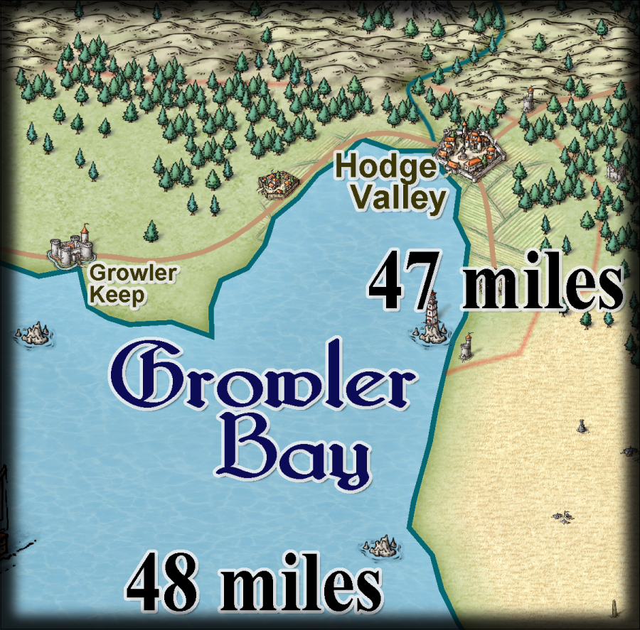
A select png area that might shrink or grow depending on what happens as I work on this map. I'll update this png section to show any changes to the png section I'm using.
at 75% of my exported png.
Changed export, I forgot to mark off the size of the map. Anyway, the text near the edges activated effects. They aren't in the original I am working on. This is just a guide anyway.
lay on MacDuff !
at 75% of my exported png.
Changed export, I forgot to mark off the size of the map. Anyway, the text near the edges activated effects. They aren't in the original I am working on. This is just a guide anyway.
lay on MacDuff !


Comments
Oh Quenten, what did you use for the brown areas to the lower right ? When I do list it keeps coming up Land_MS. I'm probably just missing it, but no luck for me so far. Thanks !
I'll have to move some of the hills so the river and the road can go through. And since I cannot fractalize without a kathud, I tried moving the mouse around as I did the multipoly for land and sea.
As for the fractalization issues, you are aware you can use the FRXM command? This does basically the same as the regular (currently bugged) fractalize command, just with command line input instead of a dialog box.
Also similar is ka-thump and ka-boom! And, usually non-hyphenated for some reason, kerplunk.
English. Go figure.
Cheers,
~Dogtag
I will try frxm next time.
Oh, the waves on the ocean came about by unclicking the scale on Ocean_MS and Sea_MS bitmap fills.
another edit: I am thinking about placing a henge or two on this map, but I haven't decided where yet. Any suggestions ?
another edit: Hopefully I got all of the land edges to meet the map border this time.
I suppose the henges could be put in the more remote areas - not necessarily the mountains, but away from the towns.
Where they occurred in ancient Britain (Stonehenge is not the only circle we have) they have ended up being mostly separated from nearby modern settlements, and there is one on the Isle of Arran in Scotland that stands in glorious isolation as far as you can get from the modern towns, in the middle of a moor.
This page might help with a few ideas?
I am using the same river color, along with the sea and ocean_ms bitmap fills, as on your map. I have been wondering how to blend the river in better. Effects aren't something i have learned how to do yet.
edit: map update coming soon.
Which looks better ?
How about turning all your text the same dark colour, and editing the glow on the text sheet to white? That will make it all very much easier to read against the mountains
I'm thinking about a sea mount towards the bottom of the righthand coastline. Could be the haunt of sea ghouls. :-)
Any suggestions ? I'm about to submit for inclusion in the Atlas.
edit: What size scale should I add ?
I used arrow lines because I didn't want to crowd the words together. Growler Keep label could be placed on the land, but then there would be no place to put labels for the villages, etc.