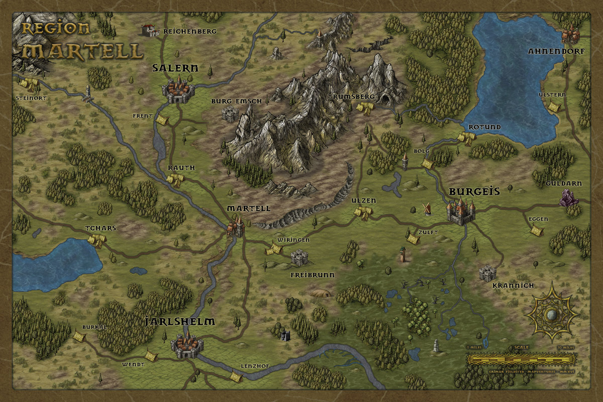
Regional Inland Map: Martell and Surroundings
Hi all,
I made this map after experimenting with an adjusted Herwin Wielink style - less dark, more colorful. This is a central part of my gaming world and I am quite happy with the style.
Hope you like it.
I made this map after experimenting with an adjusted Herwin Wielink style - less dark, more colorful. This is a central part of my gaming world and I am quite happy with the style.
Hope you like it.


Comments
Question, for the lake in the upper right corner, does the water from the lake drain into the swamp, or does the swamp drain into the lake?
Thanks,
Charles W. Robinson
I'm trying to think of any constructive criticism I could offer but I'm at a loss. Wonderful map.
~Dogtag
Been working with the Herwin Wielink style too recently, so it makes me love your map even more. Nice use of the tree symbols there, I thought there wasn't enough variety in them (and I didn't like some of them), but you obviously put them to good use in your map.
Out of curiosity, how did you do the roads ?
which annual contains this style?
the road to Burg Emsch seems to disappear before it reaches the castle.
My only "criticism" is that the river water looked so dark that at first I confused it with roads. What fonts are you using for this map?
Did you make the changes using CC3 or did you use outside art software? I've been eyeing up the new CC3+ Blend Mode effects and am wondering if that is what you've used.
@Charles, the water is supposed to run from the swamps into the lake in the north.
@Vastin, it's the Annual from 2012. Thx for the notice about the road, need to rearrange the layer settings.
@Barliman, they represent permanent villages or hamlets.
@Dkarr, the font is called "Dwarven Stonecraft" and is free on DaFont and other font sites.
@Shessar, there is some heavy post editing in Photoshop, but all archivable in CC3 as well.