Spill Island of the Tantalow Island Group
 JimP
🖼️ 280 images Departed Legend - Rest in Peace
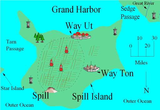
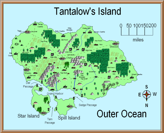
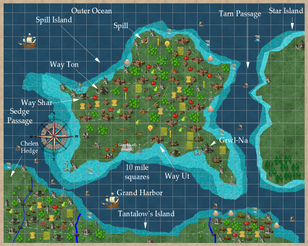
This is a redo from my CC2 map to a CC3 map. In my Crestar redo, I turned these islands around so the top of the map is North instead of South.
CC2 maps then CC3 maps.
CC2 maps then CC3 maps.


Comments
Spill Island and info about various places on the island
btw: my friends cat's name is Khhh. ^____^
I've started work on getting all of my CC2 maps gone for certain and replacing them. I currently have a number of 'place holder' maps that need updating.
Here is the story I came up with to create a legend and how the islands' names changed.
I could not get the site with the story to come up.
;-)
Here is a redo on the Star Island. And Way Ut on Spill Island. Way Ut, Way Out, get it ?
For what it's worth, I personally prefer the original CC2 map of Way Ut over the new map. Although the colors and bitmaps of the new map look really nice, I really like the layout of the older map more.
Cheers,
~Dogtag
Here is a redone map of Gray Heath. The coblestone frame was done with line, Ortho on, and CD3A_Cobbles as the fill style. I drew 4 overlapping lines. The map needs more work, but I decided to just put this bit up here. The two broken towers were once watch/guard towers, to make sure the old evil didn't return. But they fell apart after being abandoned.
Lights can been flickering at the old broken castle late at night. But the folks in Lone ignore them, claiming those are 'ghost lights' of the dead and not lanterns carried by the living rebuilding the old castle and its large bailey.