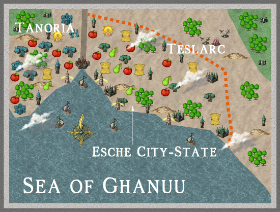
two annuals, combined seaport of Tanoria and Teslarc
 JimP
🖼️ 280 images Departed Legend - Rest in Peace
I took a template, with border and ocean, from one annual, and added in forest, etc. bitmaps from another annual. I picked symbols I felt worked with my plans for these two nations. I used vari-color to show national differences.
edit: I almost forgot that maps at this scale will seldom have the exact placement of towns and villages. Cities, forests, and some hill/mountain areas will be close to design or exact placement. That gives me some fudging room later on.
a larger map on my web site.
edit: I almost forgot that maps at this scale will seldom have the exact placement of towns and villages. Cities, forests, and some hill/mountain areas will be close to design or exact placement. That gives me some fudging room later on.
a larger map on my web site.


