Problem with clipping exporting from FT3 to CC3
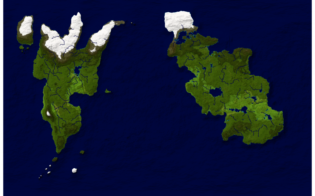
I am having an issue exporting my map from FT3 to CC3.
Everything is fine when I use the "Save Campaign Cartographer File option.
I select my export function and then click Export World and everything is fine.

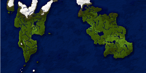
I then decided to use the Export Wold -> Multiple Files... option and use the same export function.
The full world map produced this way however ends up clipped on the top and bottom.

How can I get the base map to start off just like it does when I do the single export?
Everything is fine when I use the "Save Campaign Cartographer File option.
I select my export function and then click Export World and everything is fine.

I then decided to use the Export Wold -> Multiple Files... option and use the same export function.
The full world map produced this way however ends up clipped on the top and bottom.

How can I get the base map to start off just like it does when I do the single export?


Comments
Setting on this say
Lat: 4.7841
Lon: 95.3571
X Ofs: 0
Y Ofs: 0
Scale: 0.636
I did some testing with different projections after I was questioned on it.
Clipping seems to be a problem with quite a few of the projections but one that worked with the least change to my map was the Equirectangular. I just switch the projection to Equirectangular exported the mutli-file and got pretty much what the single version did.
Jslayton,
As I said before the single "Save Campaign Cartographer file..." function outputs correctly. I don't know what major difference in the programming there is but the issue must be in whatever variable(s) are different in the base mult-file compared to the single version. I used the same Miller Cylindrical projection when running both and as you see the single file shows the entire map. As mentioned above the Equirectangular doesn't seem to have a problem.
I am glad I pointed you in a new direction finding the bug. Any chance you can fix it by the end of the week ??
My solution was to zoom out one level and that gave me the whole Map, with a boarder around it.
Another issue is that while you can Link the CC3 files, it does not put a link to go backwards. That would be a nice feature to add.
Another issue I've see if I chose anything other than 2x2 I get an image which is the correct width but twice to three times as high.
Haslor