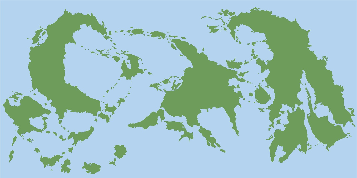
REINOS IMORTAIS - World Map
 Mateus090985
Traveler
Hello Hive Mind!
I am here to take a new look, and hopelly finish, an old project of mine. It is my Fantasy setting Reinos Imortais (+- low fantasy in spirit). Here I have the landmasses in what I think is a finished version. I wiil do the mountains using altitude curves, so my next update will be all the 500 - 1000 m terrain.
And here is my colour palete for the altitudes.


Comments
EDIT: Thinking again, I dont know if I will have space to put shields...
Forests > Fantasy world style scaled down + transparency ? Might work not sure...
Anyway, your map is really coming along! Good work.
In my opinion lots of islands equals a lot of adventure possibilities. So well done.
Don't worry to much about rivers.
At this size they should be barely noticable.
Go to google earth and zoom out so that you can see the both americas in full.
Then try to find the bigger rivers, you can't, on this scale they are too small.
Only the bigger lakes and inland seas are visible.
EDIT: Old version.
This looks amazing. did you make every landmass "by hand" or did you import this from Fractal Terrains? If you did this all manually, you can count me triple-impressed. It looks magnificent.
~Dogtag
EDIT: Old version.
- A rough indication of vegetation, such as ice, toundra, deserts, in between. I do not know how I would add it to such a map, though. Maybe with the satellite style of annual 6, I don't have it, so cannot say. But that would probably require a complete redraw...
- Some indication of political borders. Maybe not every country (for instance, you may have just on area for Europe, and not try to draw each European country.
The terrains are not turning well... Sugestions? I can also simply do not put it, but maybe it will be a bit empty. What you think I can put in the map? I am putting the regional divisions "cultural regions" as I call it, because the country divions would be too much for this scale.
Maybe just what is already there and things like tropicos lines and cean currents? No terrain?
Although I love the black, perhaps a really dark navy blue for the ocean (and slightly lighter navy blue for the coasts) would work well. I think your desert/plains areas turned out well (the tan color areas). Perhaps replacing the green in your height map gradient to brown? Doing this would at least allow you to have light greens for grass, dark greens for forests, and really dark greens/blues for tropical areas and swamps.
On the other hand, you could try to superimpose hatching patterns over your colors to designate the type of terrain.
On the third hand...it does look fantastic as is...so you might just add a border and call it a day....and then dazzle us with some close up maps of the regions in this world.