More FT3 questions
So I have been fiddling for a while with FT3. What I have done so far:
Started with a flat world and ran through the tutorial.
Used a hand drawn map/overlay and build the basic land masses.
Built up a few mountain ranges.
Mucked about with manipulating the rainfall, elevation, temperature and other tools to get the types of climates where I want them.
So here are the questions
First when finished I want to be able to insert or print a separate color key. Any suggestions
While manipulating such things as climate is there a way for me to curb the effect the tool has on neighboring climates?
Is there a setting that causes this that I can change?
For example, when painting the boarders of Arboreal/Alpine, Chaparral and Desert the boarders between the them are hard not to effect.
I am sure this has to do with the underlying elevation.
When using the Elevation tool and looking at the "View Properties" Window, is the information displayed there taken as a sample from the brush size or from the end of the cursor?
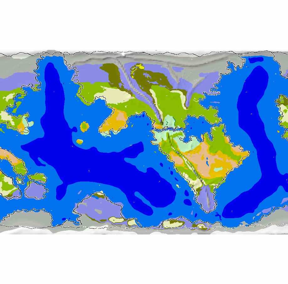
Here is the climate map I am working with for now.


Comments
The information on the View Properties window shows the current values at the tip of the cursor; it does not average values around the cursor.