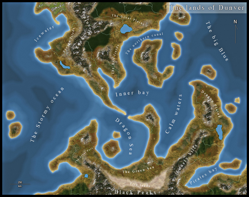
Dunver - Overland satellite style CC3
I decided to try out the latest style from this years annual, the Overland Satellite style.
The map is completely done in CC3, except for the labeling that I made in Photoshop (mostly because I work much quicker in PS then in CC3)
I really liked the style, it was easy to work with and the only problem I had was that the rivers came out fainter (then in CC3) when exporting them in Cute Pdf. Don't know why but I increased the glow effect on the sheet to make it look ok.
For a larger version of the map, you can find it on my blog (mappingworlds.wordpress.com)
I hope you like it.


Comments
Congratulations.
Clercon said: "but I must admit that before you apply the effects it looks like s**t"
Yeah, that's why I'm amazed how folks like Ralf can put together all these little "ugly" patches of fill styles and have the sheet effects make them all work together and form a beautiful map. CC3 with the sheet effects really takes the old CC2 CAD program out of the realm of scientific/engineering objective precision and into the world of subjective art. I highly recommend going through Ralf's maps with the sheet effects off and picking them apart with the Info -> List command if you want to learn a few tricks.