

Adjustments on hand created map

Hi everyone !
I've had CC for quite some time but found it was not really designed for my approach to map-making, I used Illustrator for years to build my maps. But I discovered Fractal Terrain and really liked all the tools it provides.
I'm trying to learn how to use it, it seems both powerful and complex
I imported a heightmap of my illustrator-made map and converted it to altitude, did some painting corrections. I am now trying the tools in order to improve it, using erosion, incise flow etc. The map still needs a lot of work tho but it's advancing. There is one issue I can't find the solution to, mainly with my mountains:
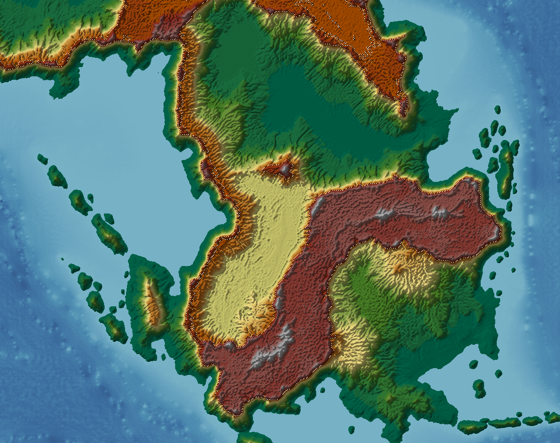
As you see, the conversion to FT + the slight modifications make my mountains quite ugly. I tested tools with selection but couldn't find the right one. I read about the moundtain tool in the guide and wanted to try it but couldn't find it in the software.
Would anyone have any tips about tools to use and the moundtain tool ? Thanks a lot ☺️