

Great Western Railway "Legends" Pictorial Map
 Wyvern
🖼️ 287 images Cartographer
Wyvern
🖼️ 287 images Cartographer
The UK press in the last couple of weeks has been running adverts for the Great Western Railway, one of the privately-owned British railway companies, that runs train services between London, Southwest England and South Wales. Ordinarily, this would naturally attract no attention here, of course. However, they've been using a pictorial map to do so. This one:
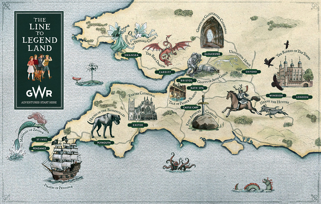
Which perhaps is of rather greater interest!
I'm never sure if folks outside the UK will be able to access the online sources involved, but the map and the press-marketing story behind it came from this webpage.
When I started digging around today to find a copy of the map to post here though, I discovered there are actually now TWO such maps, and they're not quite the same! The alternate one is shown on this webpage (again, same caveats as before for non-UK viewers, although this is part of the GWR website, not a separate marketing one), which has folklore notes on some of the sites involved, and also a link to a supposedly free download of an accompanying book (although the page it goes to has no download option; you can view the book there and flip/read right through it, however). This alternate map looks like this:
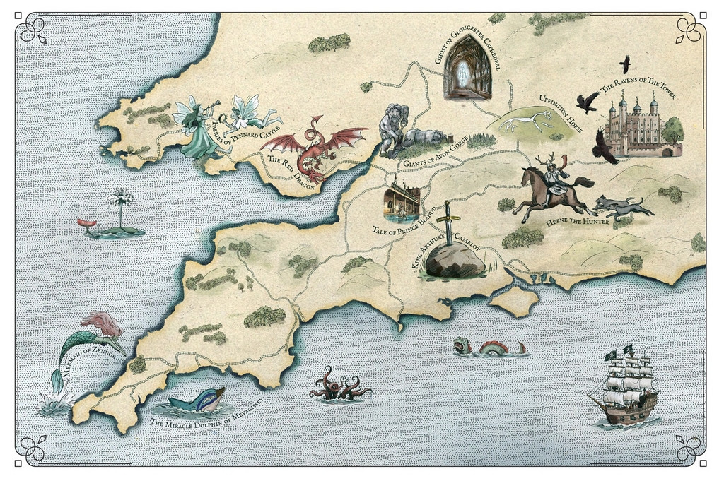
Fewer points of interest, and no railway station names on this one, but just as interesting as a pictorial map, I think.


