

trace map aligning to grid

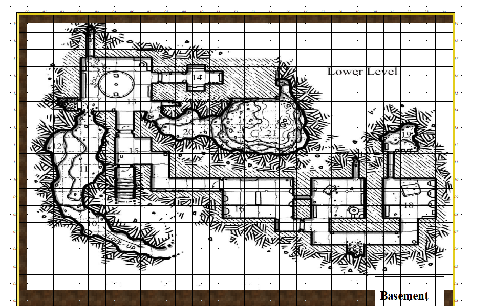
I have an image i want to trace (use as reference). It is from a 1st edition DnD adventure. I want to update it and practice.
How can I align the map to this grid so i get the right scaling?
I've watched alot of videos but no one talks about moving the image after inserting the file. How can I "nudge" the image to align?
Comments
You can use the Move, Scale, Rotate tool to pick the image and move it. If you pick a key point in the image as your "move from point" (check the command line), and then use SNAP to place the map you should have perfect alignment on that one spot.
As for scaling, it depends which videos you watched as to whether you got the information you wanted. There are about 200 of them.
Here's a quick explanation by Ralf
And here is a more detailed explanation of the whole process by Remy - conveniently split into chapters.
For scaling, the option I use is the drop-down menu command: Info => Distance. Make sure "Ortho" is active, but that "Snap" is off (buttons at the lower right of the CC3+ window), and zoom-in so you can see the grid squares on your image very clearly.
Then use the Distance command to measure the separation between the horizontal and vertical grid lines for a single square. "Ortho" will ensure you're only able to measure in the true vertical or true horizontal directions. (Although both should be the same, sometimes a minor distortion in the map image, especially if it's been scanned, means they're not exactly equal, and your own by-eye estimates can be a few pixels, or more if you're me, out as well.)
That will give you an overall value in map units (feet or metres for dungeon-scale maps, depending on which option you're mapping with) for the size of the grid squares on your image. If that doesn't match with the size of the snap-grid squares in your CC3+ map, then yes, you'll need to rescale the image.
To do this, use the Scale command (button to the mid-left side of the CC3+ window). Click the button, select the image using one edge of it that's free from other entities in your drawing, then click "Do it".
The Command Line will ask you to pick a scale origin (I often use the bottom left corner of the image, but pick whatever point seems best to you), and then it asks "Scale to" with a couple of further prompts. The easiest option here though, is simply to type in the value of the image's grid size, as just measured, and the size you need it to be, the two values separated by either the multiply or divide keyboard options, as appropriate. For example, if the image's grid is showing as 9.4 feet and it should be 10 feet, use 10/9.4 to make your image larger (if you get it wrong, just use the CC2UNDO command!).
Then check using the Distance command again, to see if this is now the correct size (or closer to it - sometimes, because of the decimal places involved, it won't be exact, but close enough is usually good enough, though you may need to adjust your CC3+ drawing in places to accommodate any differences). If it's still some way off, just use the Scale command again.
Good luck and good mapping!
After watching the video, The explanation by Ralf, I saw that getting the grid to align was pretty much impossible. So I just got it as close as possible and matched it the best i could. It looks pretty good!
You can to the info menu and measure the distances along some of the walls of those rooms. Divide by 3 or 4 to work out the grid spacing (it looks like it's slightly different for horizontal and vertical spacing); you may want to measure several rooms. Then either create a new grid which matches the existing map (with different horizontal and vertical values), or non-visual scale the map to match the existing grid (with different horizontal and vertical multipliers).
Then go to the info menu and measure the coordinates of some corners on the map, and those of some coordinates on the grid. Then non-visual move the map to match.
That would be an immediate solution, and no one would stop you doing it, but you would quite unknowingly be causing yourself all kinds of other problems that wouldn't otherwise exist.
The biggest problem with changing the grid size would be that the symbols (which are all quite carefully scaled to be the right size for a properly scaled map) would all be either too big, or all too small for the altered grid, so you would also have to alter the default symbol scale to match.
Similarly the textures would all have to be rescaled - particularly the ones that are tiled floors, or the tiles woulnd't be the right size to fit neatly 1, 4, 9, 16, 25 etc within the grid.
In the long run its a lot less trouble to scale the reference map at the outset - particularly if you intend to share your .FCW file with others in the future.