[WIP] San Francisco, California (Parchment Cities)
 Royal Scribe
🖼️ 388 images Mapmaker
Royal Scribe
🖼️ 388 images Mapmaker
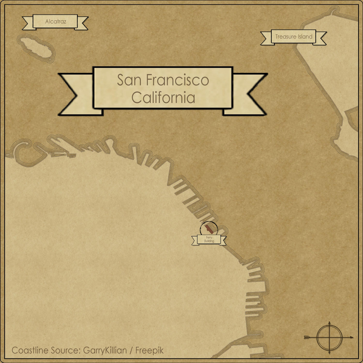
Ever since the Parchment Cities annual came out in February, I've been wanting to create a map of old San Francisco, California -- the city where I live and was born, and where generations of my ancestors were from.
I wanted to find a reference map for 1895, because by that point, six of my eight grandparents were living here by then. (Two moved here no later than the late 1860s, one moved here in 1884, two others moved from different parts of France in the early 1890s, meeting and marrying in San Francisco.) Unfortunately, the images I found were poor-quality JPGs that would have been a challenge to draw the coastline correctly. (The coastline changed significantly after the famous earthquake in 1906 that burned a huge swath of the City. In rebuilding the City, a lot of the rubble was tossed into the bay, changing the coastline and becoming landfill that newer buildings were built on top of.
Once I made peace with not finding a good 19th century source map, it become much easier to hunt down good quality SVG images on Wikimedia Commons that I could convert into a DXF file with CloudConvert. That made doing the coastline much easier.
I will still have to do the streets and blocks using JPG reference images, as my source map included elevation changes rather than streets. To make it a little easier, I decided to focus on the northeast corner of the city, the downtown Financial District. I thought about doing my own neighborhood but it's in the middle of the City, three miles to the east of the ocean, and three miles southwest from the bay, so I wouldn't have gotten any of the lovely coastline.
Anyway, here's what I have so far. The streets will take a lot more time.