Myirandios Regions mapped in detail.
I have decided to not continue with my other worlds, but go back to my original Myirandios world, which has so much lore already. This is what I hope to publish as an RPG supplement next year.
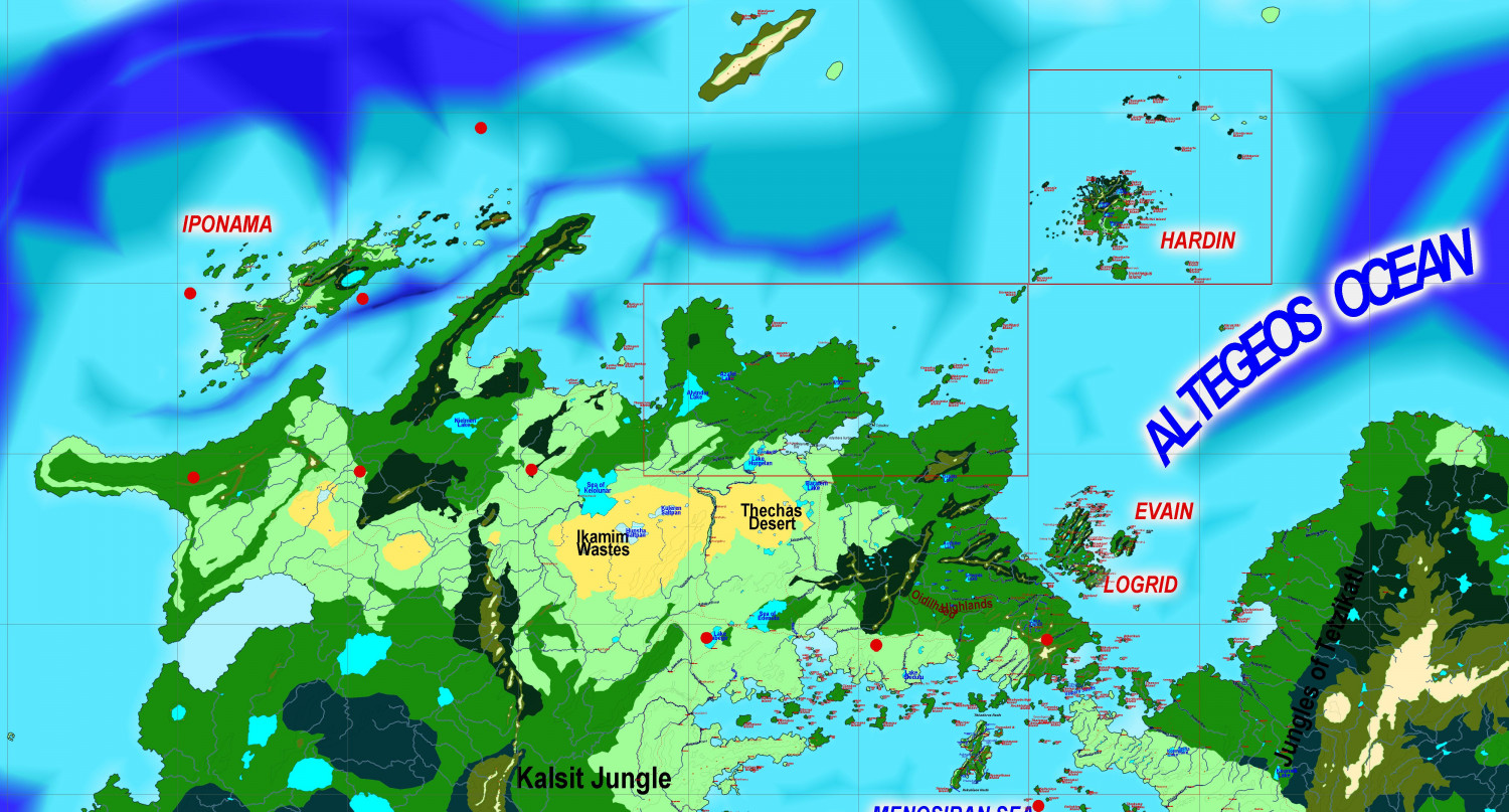
There will initially be three main regions - two are outlined in red, the other is Logrid and Evain to the south.
I will be using some of the ideas and maps and races I designed for the other worlds, so as not to waste stuff, and also because they are all designed with Myirandios at the back of my mind anyway.
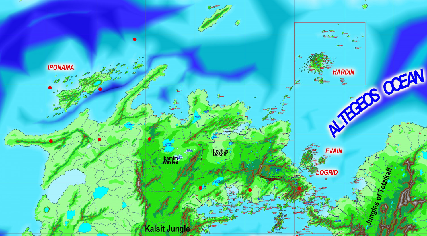
So here are the two Regional maps. The bigger one on the lower left is cut into two. Each grid is 1600 km x 1600 km (approx 1000 x 1000 miles).
I have supplied the altitude and climate maps.
These are the two regions, at their very beginning.
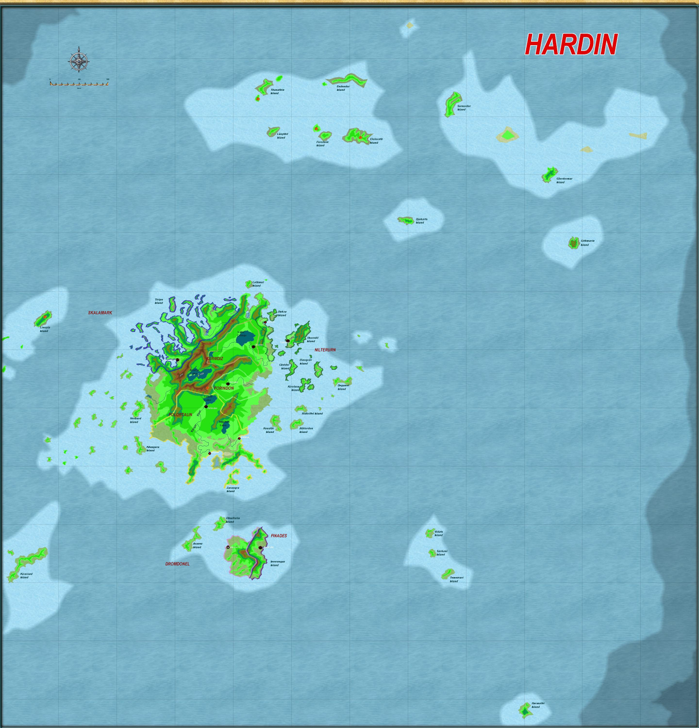
The Hardin region first, inspired by Harnworld.
This is the larger region, divided into two halves.
As you can see, I have already done a lot of work on these already.
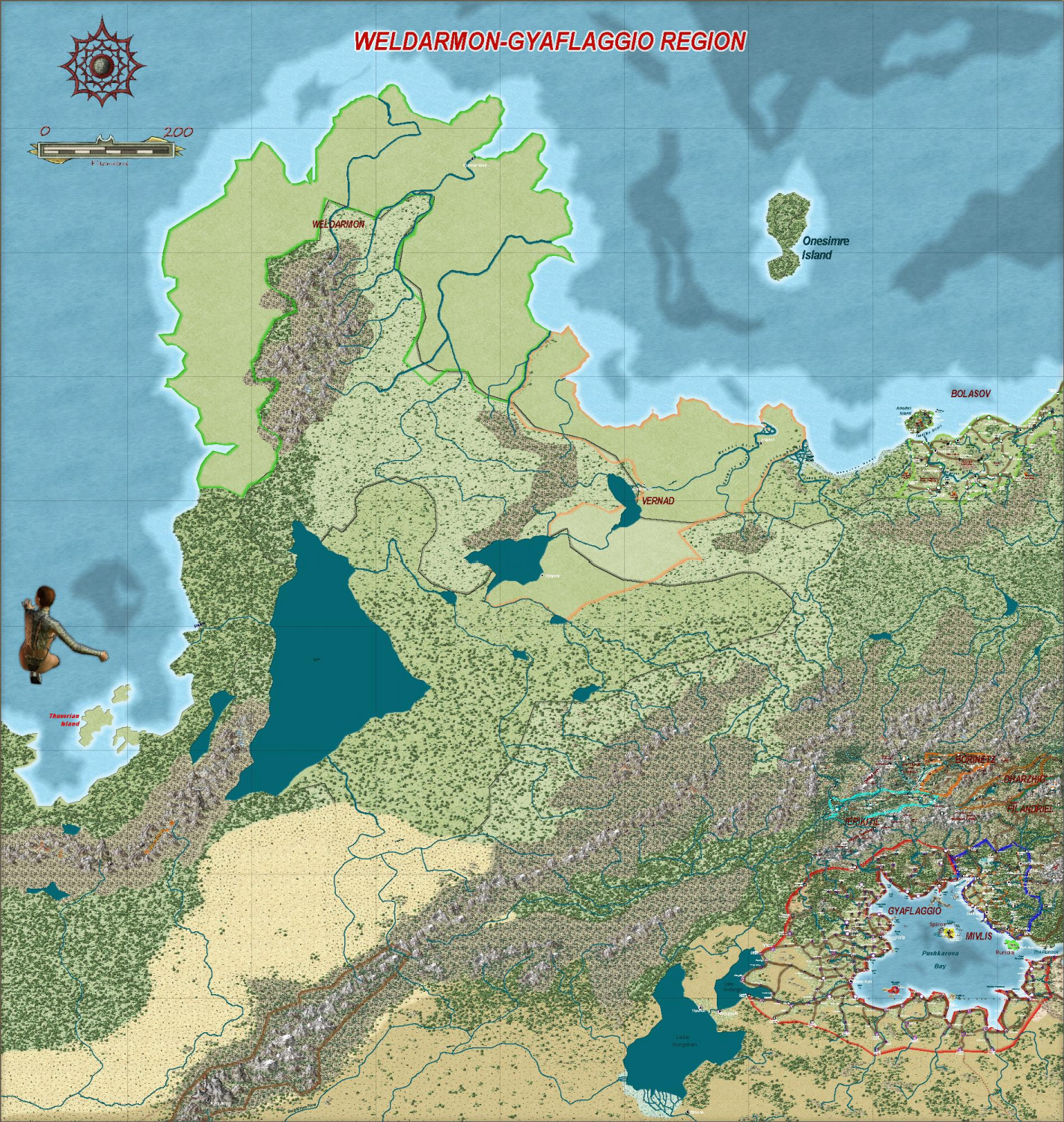
The Weldarmon-Gyaflaggio region, which contains the core playing area:
As you can see, it uses primarily symbols from Mike Schley.
I will work on this under a different discussion thread.
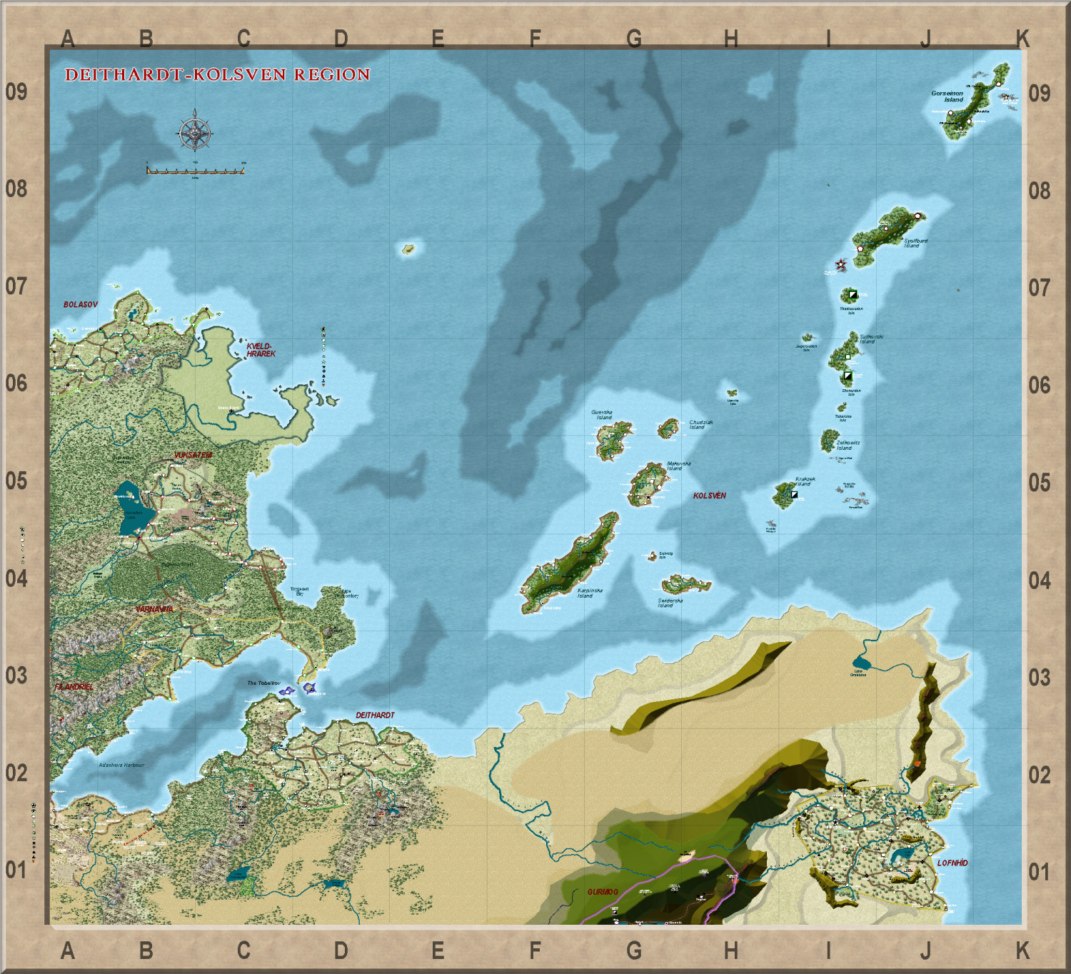
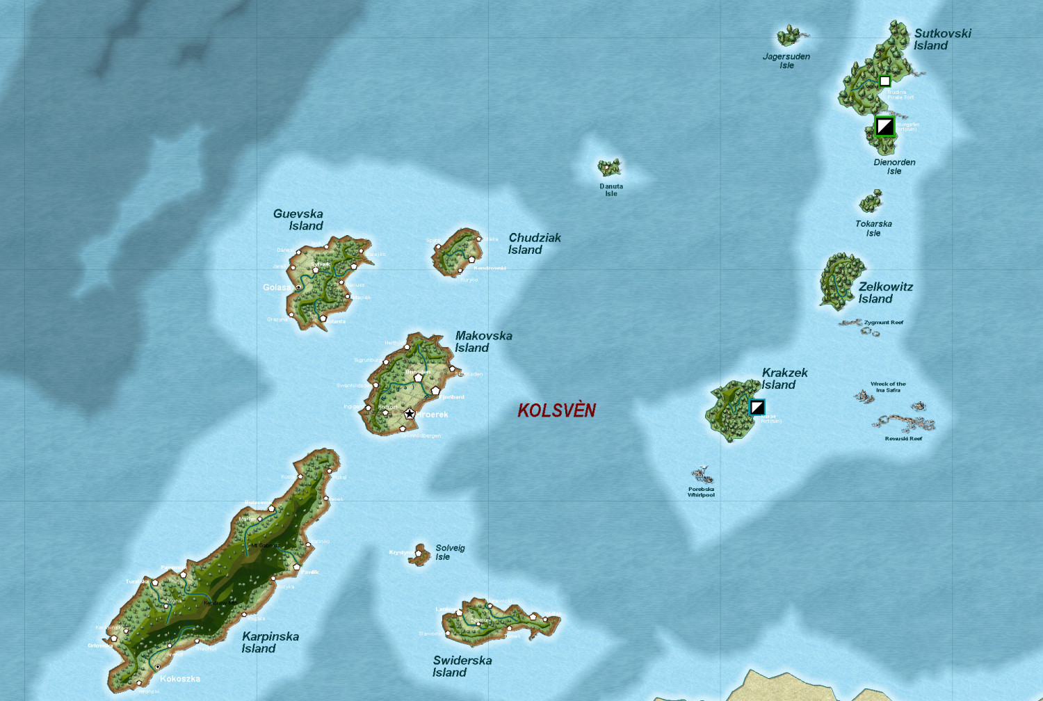
The second area - Deithardt-Kolsven region - to the east of this, uses both symbols and also bevel-lighted contours for the mountains, instead of Mountain symbols. I would be interested in your thoughts on this. I will eventually decide on one style for all the maps, of course. But input will be very helpful.
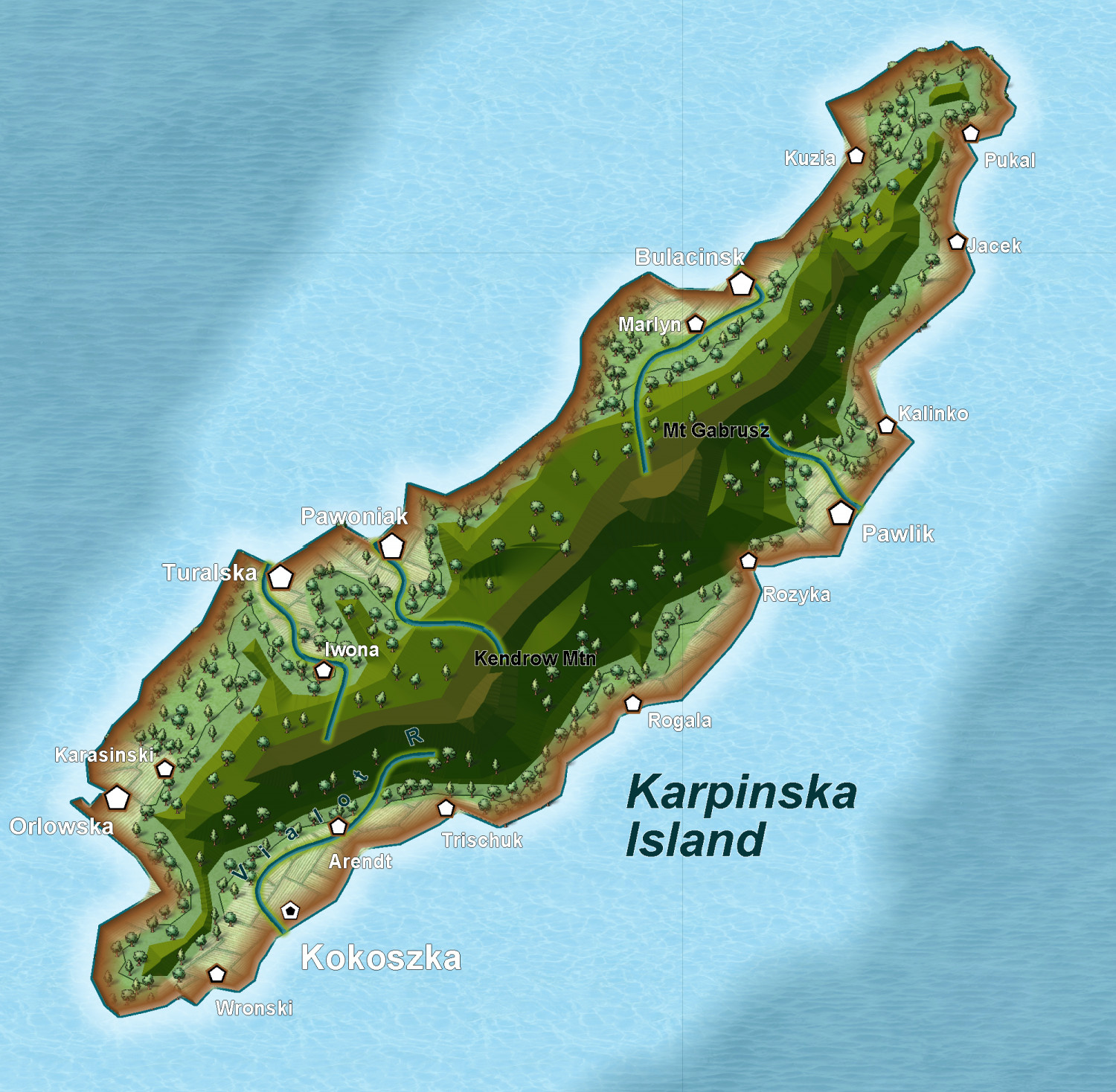
Here is an inset showing the bevel way of doing the mountains, combined with symbols for other things.
I do need to finesse this more, I do realize.
Still not sure which way is best.
- Which is best - all Symbols, bevel mountains4 votes
- Use Symbols only (Mike Schley predominantly)100.00%
- Use Lighted Bevel for mountains rather than Schley mountain symbols0.00%
- Which is best, Schley Structure Symbols, or generic symbols (from 13th Age)4 votes
- Schley Structure Symbols75.00%
- 13th Age generic symbols25.00%


