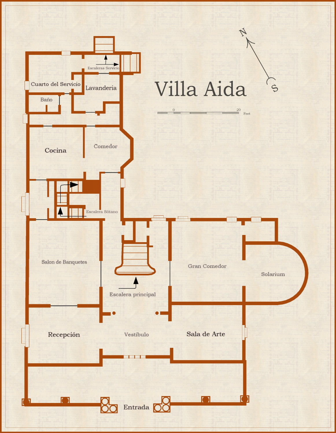
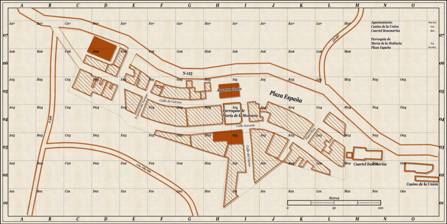
Newbie here, those are my baby Steps :D
Hello everyone,
I am new user of CC3+ and i am doing this post for uploading my firsts two maps i made for CoC games (well those are trials) anyway feel free of criticise and giving me all types of advice, mistakes i made everthing you want to post.
Thank you and happy new year.
Tagged:


Comments
Those are really great first maps, Tako :D
Thanks your tips :D
Look great to me. A couple of the names overlap (M02), but that's a quick fix. Also the building where the name is too big to fit (I04), you could place the name in a blank section and provide a pointer to the building.
Ohhh thats true :D i will fix it :D Thank You
I love these styles for CoC maps set in the classic era (1920's-1930's)...Great job, absolutely love them both.
Re the grid; personally, I prefer not to have every cell labelled in a map like this, I think doing so is more appropriate to overland hex mapping.
Check out the Live Stream of this style (it wasn' too long ago) where @Ralf shows how to create an interactive index - that is a lot cleaner.
i dont know witch video, this is the live mapping video i was following https://www.youtube.com/watch?v=pzWirHveCM8&t=364s. Can you link the video here :D if i dont missunderstood you mean Intereactive Index exported ?? cause when i create the index was intereactive but on CC3+
That is the video, and yes, as far as I know, it's only interactive (which is what I meant) in CC3+. @Monsen @Ralf do you guys know if it's possible to export the hyperlinks from the index so they work outside of CC3+ or can it only be done manually in something like Adobe or a DTP program?
No, there isn't any way of exporting the functional links, the index only becomes a text reference on export. Remember that CC3+ really just support exporting to image formats, and none of those have any support for interactive elements themselves.
I guess it would be possible to export the hyperlinks as some sort of list of coordinates if someone felt up for creating an XP module for doing that, don't think that would be really hard, but again, that couldn't be used just as it was, it would need to be imported into some other program that supported interactivity.
It could be done via image map or html links between maps. The html would work on a computer if off line, or a website.
I haven't done it though.
Here is it another map :D, i will use it for my Cthulhu Games made with Cthulhu city Annual. The worst part is naming streets :D, feel free to criticise :D
Thank You All