

New world, first draft
 smhollingsworth
Traveler
smhollingsworth
Traveler
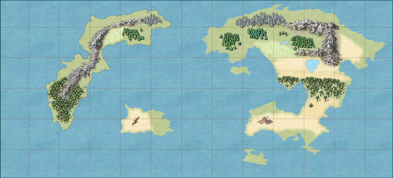
World map. Not sure if it's too busy with symbols and land features. I think the mountains in the east are scaled too big; not sure how that happened. I would really appreciate any thoughts or advice before I go back for the second draft. The coastal waters are missing because they were sort of messed up and I just haven't remade them.
Tagged:


Comments
Looks good !
Good effort so far :)
Symbol size is always a tricky one. If I was aiming for something about the size of A4 I would do larger symbols than if I was making a map I intended to print as a really huge A0 poster. The consideration I make boils down to "Is this going to be identifiable as a mountain/tree/settlement at the size I intend it to be viewed". Even distance plays a part. If I wanted an A0 poster, but one that was pleasing to look at from a sofa that is 15 feet away from the wall I might make the symbols a bit larger than for an A0 poster to go on the wall behind my desk at a viewing range of only about 2.5-3 feet away.
It's very much a personal choice as well, so there are no hard and fast rules except to pick a symbol scale and try to stick with that scale throughout - unless you are making more of a landscape image or want a gigantic world tree somewhere.
The rotated mountains give me a bit of vertigo looking at the map. That kind of symbol generally ought to be oriented vertically to keep consistency with the apparent shading baked into the symbols.
Just a couple of things I noticed.
The land mass on the left seems to have its coastline but the other land masses have lost their coastlines.
The mountains on the left land mass seem to be at a weird angle. I would recommend doing them again with the angle set to 0. If you pick up a mountain symbol and right click it will bring up a window where you can change the symbols settings, just make sure the "rotation value" is set to 0, and this will look more natural for your map.
Lastly, the shape of your land masses look really great.