[WIP] A metropolis
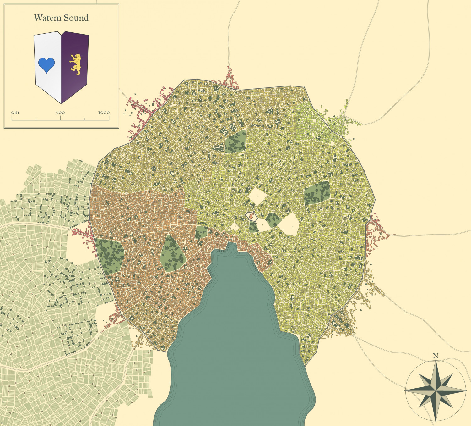
Here is a side project - a metropolis (over 100,000 pop, and over 16,000 buildings) based on the newest version of Watabou Medieval Fantasy City Generator.
First the picture generated from Watabou:
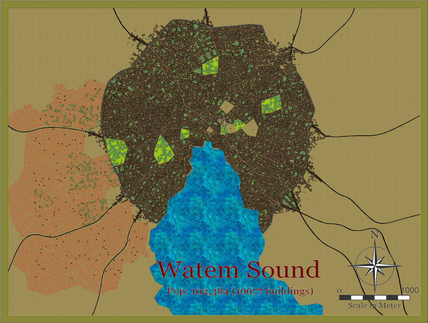
Now the version from the svg converted to dxf and put into CC3+.
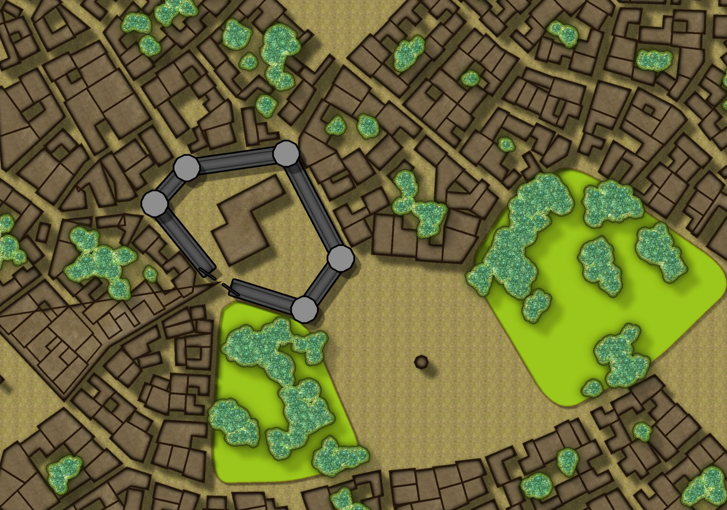
And a close-up of the castle area:
Lots to do, but this took less than an hour to put into CC3+


Comments
I also downloaded the JSON, and put it through the City Viewer by Watabou. Here are 2 views saved - one almost aerial view of the harbour, another showing the buildings climbing up the hill. Wish we could get a 3d version of Watabou for CC3+
So here is the almost finished product, except for the districts - not sure how I will do them - and some labels.
This is a map for my own world. It is probably too simple for the Atlas, unless someone disagrees.
I may also add extra walls internally - not sure yet.
Please feel free to add suggestions
Simple ? I don't think so.
Simple in the sense it is not much more than the Watabou city with some extra frills (tress, forests, islands and hills). Labels and district to come. Plus some more internal walls and one or two small satellite villages.
But whether it has a place in the Atlas, I would be interested in others' opinions
Looks good to me. I try not to over develop a map... I think.
OK, this is now finished. Bigger version in the Gallery
Here are the districts added - does anyone (s) want to have a go at fleshing out each district - perhaps a community city? The districts and their names can be toggled on and off via the DISTRICTS layer
Not sure where I will place this in the Atlas yet. I wonder if @Monsen would let me add the png of the city 3d to the atlas images, as for a few other cases.
I know you need the district labels, but in terms of aesthetics, I think it looks better without them.
On my Dtillan Orsti city map, it looks the same as yours similarly.
I made random blocks for the characters to walk through. These were made with CC2Pro, I need to update them.
edit: I did update them... I looked in the wrong folder. Anyway, you get the idea.
Here are some examples:
@Quenten wrote:
I wonder if @Monsen would let me add the png of the city 3d to the atlas images, as for a few other cases.
It is OK for a rare case every now and then, but in general I prefer to not add additional files. They do create extra work, add to the download size, and is an element people can't edit. Remember the main point of the atlas is to show what can be done in CC3+.
Ok, but I think they add to this map. I'll let you make the final decision though.
As far as labels for the districts are concerned, they can be toggled on and off - but I will make them independent of the district borders.
Yea, it is fine as long as you don't make a habit of it. Make sure the images are of sufficient low resolution to minimize their size impact on the atlas, they shouldn't be of a resolution higher than needed for displaying them on the map like that.
City has now been added to the atlas. Thank you.
(And yea, I am a couple of weeks behind with the submissions, but I will get to them, I promise)