

Community Atlas - Forlorn Archipelago - Fisher Isle, several villages and surrounding areas
 JimP
🖼️ 280 images Cartographer
JimP
🖼️ 280 images Cartographer
Here are the rectangular jpgs for the three areas I'll add villages to.
between the forest and the hills.
Between Dreadwood and the hills.
Fisher Bay area. Probably over on the left side of this jpg.
Comments
The top two are adjacent. Here is a larger area so you can find them easier.
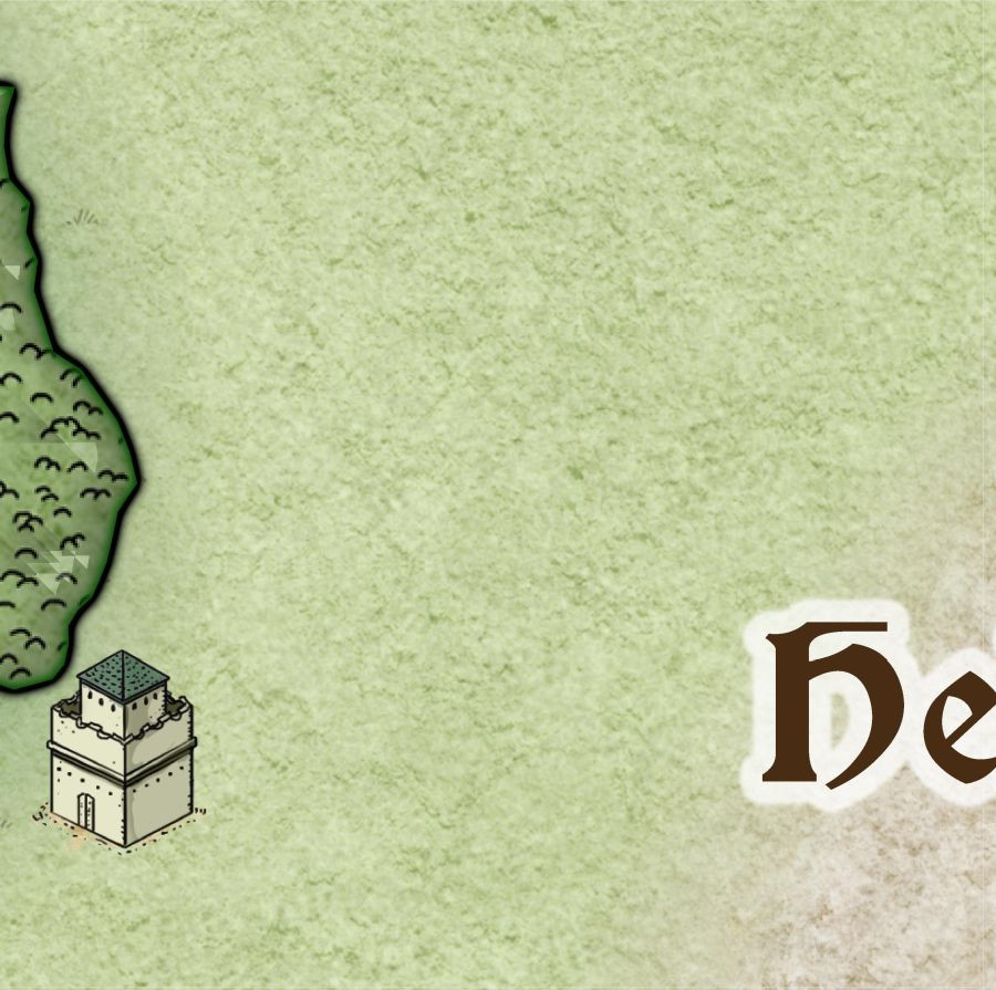
The square where the H in Helman's spires is located, and the one just below it.
3000 pixel jpg in my gallery.
I stopped naming locations as it was getting crowded.
An update. I think detail maps should be next.
3000 pixel jpg in gallery.
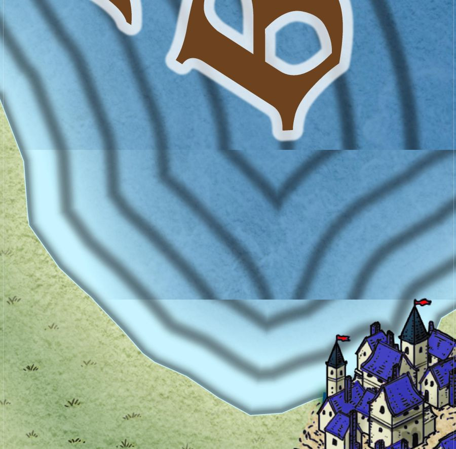
The area around Fisher Bay. Each of these maps is 25 miles x 25 miles. Scale bar and compass rose on this one. I'll do the third one on Monday or Tuesday. This one seems a bit empty...
3000 pixel jpg in gallery.
The area between Dreadwood and Helman's Spires
3000 pixel jpg in my gallery
I tried to match the text in all 3 maps, the outer glow, and it looks different for me. So I adjusted the range and blur size. So of course now it looks more off. I'll attach all 3 fcw files. Please let me know what I did wrong.
Jim, the "Between Forests and Hills FCW" is the Atlas file for the whole of Fisher Island, rather than any of the three files you've posted images of recently.
Looking at the other two FCWs though, I'd suggest changing the outer glow to "Percent of Drawing Extents Width", with a Range of 0.25 and a Blur radius of zero, or if sticking with "Map Units", a Range of 0.075 and again a Blur radius of zero. Either should give you something close to what you're showing on the images above, and you can adjust accordingly from that if you want to make the lettering stand out more, or differently.
I don't think any of this is "wrong" as such, but I know after a while you can struggle to see the wood for the trees with such things sometimes, and you can start tweaking the settings without realising you're not changing everything the same way!
Here is the correct fcw, part of Fisher Bay. I have looked at the rectangular section on the wrong one.
I copied your post into a text file.
A close up of Old Silver, an abandoned town in Dreadwood. Someone salted the nearby hills with silver... coins melted down and broken into bits.
Orc camps and orc villages in the hills.
The missing parts of the lettering is not planned, so likely effects acne; however, I like the way it looks.
3000 pixel jpg in my gallery.
The border between the plains and forest seems a bit harsh to me, Jim
I was trying to duplicate the forest edge in the original. I'll work on it.
Remember that a detail map is supposed to include additional details, so coastlines, terrain edges and such will normally never be identical to the source, only roughly similar in overall shape.
Yes Jim, the breaks in the lettering are due a type of acne where the same colours in the letters recur in the symbols or fill texture the letters are overlying. This seems to happen when there's any glow on the lettering. You may be able to solve it, should you change your mind, by changing the colour of the lettering (either to the "other" black - colour 17 if you originally used 0, for instance - or one of the darkest greys or browns), or by adding a new Sheet just below the TEXT Sheet, and copying the text onto it, but with no effects active on the new Sheet. In this case though, you may find the paler lettering will be OK on the darker woodland fill, without the need to use dark text letters there.
I used zero. I'll try 17.
A dark gray fixed it. 17 didn't make any difference.
I worked on the Forest Conif sheet to. Did a bit of fractalize on the forest edge.
Here is the Obsnar fortification area on Fisher Bay. I started out with CA146, but changed my mind after i started the template and went back to this symbol set.
Scale on the symbols is either 0.01 or 0.02. Map is 4 miles by 2 miles. Each square 25% of a mile.
Two different scales on the trees, 0.5 or 0.25 yes, the plains are named after an Elf Village... I wonder why he said knowingly ? Roads need some work.
3000 pixel jpg in my gallery.
Fixed a typo. Plains, not plans.
Anyway, part of the next couple of days will be spent checking my tent and various supplies I'm taking camping next week. So, hapazard login and log off.
Grull's Village and environs, preliminary map.
Update.
I'll have to check into that pattern on the water and land.
Jim, if you are going to have a walled city, the houses inside will be tightly packed as a rule, because all space inside the walls is at a premium. Only the real well off houses or important buildings will have much space around them. Just a thought.
True. Map is still somewhat preliminary. Needs more roads to.
But I don't like it too crowded. Updated map.
3000 pixel jpg in my gallery.
The Lost Village.
3000 pixel jpg in my gallery.
Odd, the fountain seems to be in good shape.
That scale bar is really overpowering the map, Jim. Since it has a 20 ft grid you could just say that in the bottom right corner somewhere and delete the scale bar.
I was so happy it exactly fit, I didn't really notice. I can take it out.
Thanks !
I'd be inclined to move the compass rose to a less prominent position too Jim. It looks like it's a major feature of the village right now.
Might be interesting to add the worn/grassed-over remnants of an old road or a couple of paths here as well; the state of the buildings is such that things like that should still be obvious. And maybe the remains of gardens, fences or hedges.
Here we go. 3000 pixel jpg in my gallery.
Just to throw a cog into the wrenches here. All atlas maps are always exported without the grid, because that often makes problems for people using VTT's, which is one of the main reasons to download the rendered image version. But then, referring to grid size becomes meaningless. So atlas maps do need an actual scale bar of some sort, but a tiny one is more than enough for maps such as these, doesn't need to be any larger than a single grid square.
I can put it back. But I'm getting ready for a camping trip this week. I'll get it when I can.
Or you could just draw a 20 ft hollow rectangle near that 20 foot square announcement?
Oh, I didn't see your post until now Loopsue. Sorry.
Here is the update.