Community Atlas - Stromphe City - The Islands district
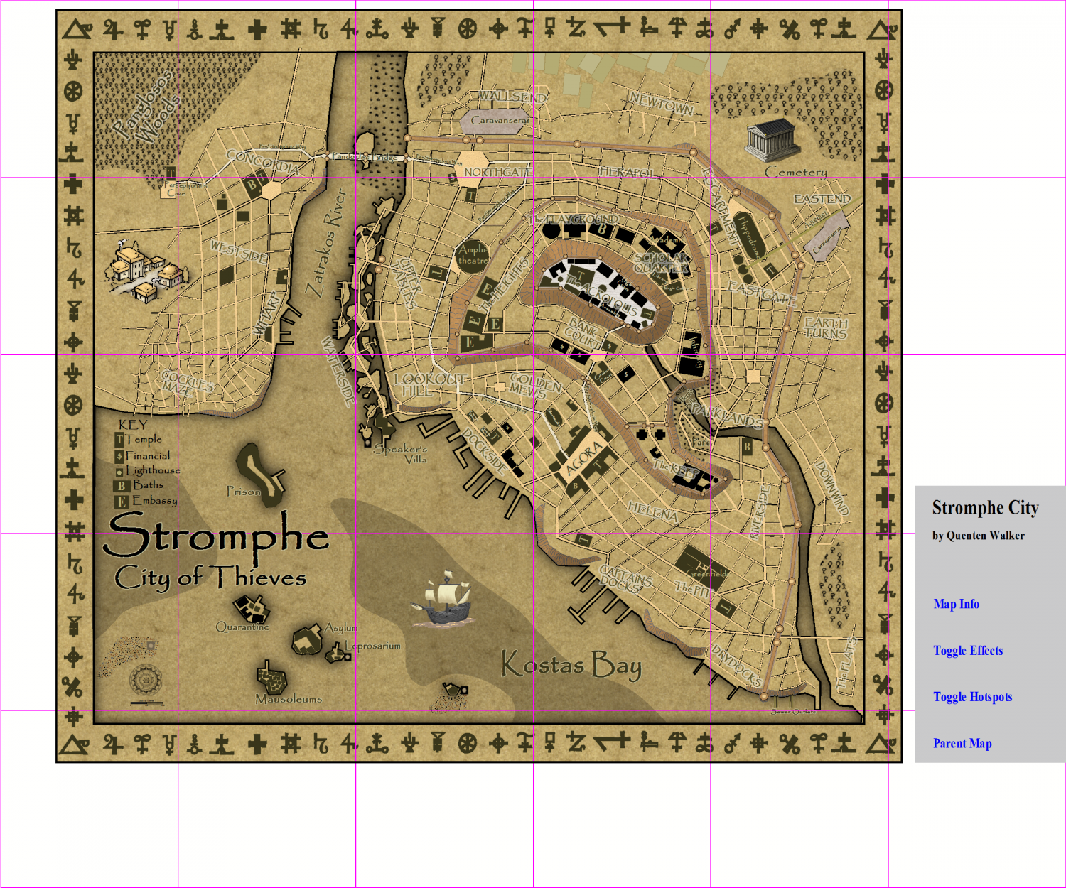
I am commencing on the third district of Stromphe city in Artemisia - here it is a group of islands each with their own function. I also have uploaded the map of Stromphe showing the squares I intend to do as time goes on.


Comments
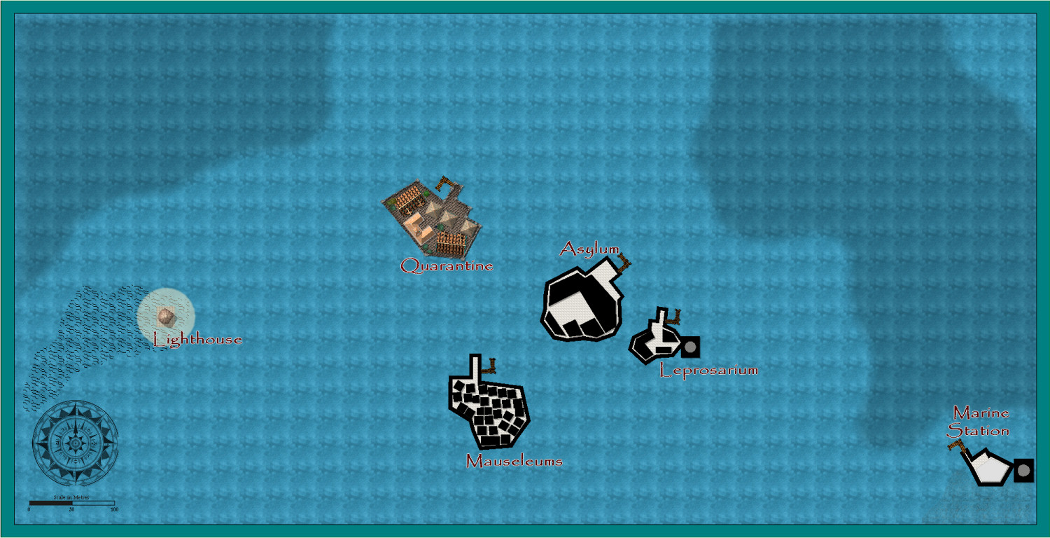
Progress. I have some ideas as to how to make the vast water expanse look a bit more interesting, but suggestions welcome. I cannot add more rocks and islands, though. I have to stay true to the main map - see above.
Is this OK?
You should work a bit with that sea background. It looks bad because of the amount of repetition. Unfortunately, it isn't as easy to cover up as land, but you should at least be able to increase the scaling a fair bit to at least lessen the effect.
Since this is a close-up map, I would also have looked into adding more depth contours. A detail map of a region will usually have smaller interval between contours than the main map, thereby exposing additional contours that's not visible on the main map. The smaller scale also makes it reasonable to add areas that was too small to include in the overview map. I think I might actually see some indication around the Islands when I look close, but it is a bit too small and subtle.
Thanks, just what I needed to hear. Great suggestion.
Update. Is this any better? Please feel free to be critical
Thanks - will fix.
I think this is finished now. Any further comments?
Islands about to be swamped when that gigantic whale lands in the water, is all. Wouldn't give much for the chances of the ships either...
😁🐬
More seriously, if a bit late, might be worth resizing the area a little so the Marine Station isn't quite so peripheral, reducing the sizes of the decorative on-map symbols, and perhaps also the prominence of the frame decoration. It looks odd that the surface island features the map is meant to concentrate on seem almost irrelevant compared to the prominence of the whale, the ships and to an extent the decorative border, while the tower in the top left seems very confusing to me, as it's not an actual feature on the map at all, as far as I can tell, yet it looks by far the most significant item, as if that's what the map's really meant to be about.
Haven't been keeping-up with things on the Forum as much as I might this week; too much RL stuff getting in the way, unfortunately.
Resizing isn't an option, because I am trying to keep the city 'districts' strictly to the divisions I originally marked in them, as squares (or in this case 2 squares). But thanks for your thoughts
Not sure I'm following what you mean by "division squares", as the purple squares on the map in your first posting show the islands on this map as occupying parts of three squares, with the Marine Station in the lowest centre of one, not on its edge. I'm not seeing any other squares that might be meant on the Atlas FCW file, so I assume its those purple-line squares that you're meaning.
Yes.
I am unwilling to change the setup, sorry.