WIP: Caer Montieren: Ostia
 Calibre
🖼️ 39 images Mapmaker
Greets, fellow artists
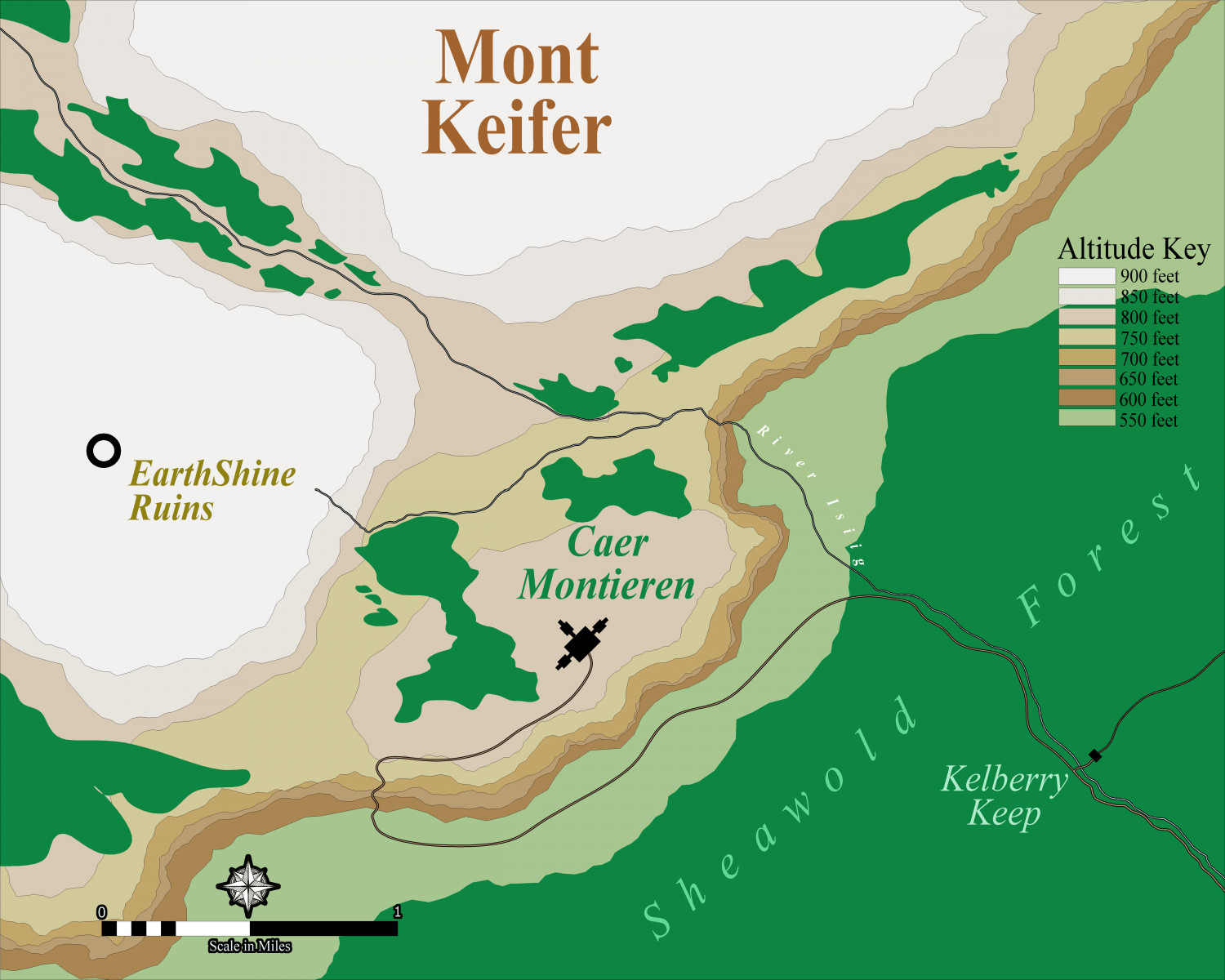
Well, trying my hand at a contour map of a region in my game. Centered around Caer Montieren in the Barony of Tremorante, Ostia.
This is my first attempt at a contour map. My friend, Rob_Wordsmith, informs me it's wrong 😁 judging by his military training and the maps he is used to from all that. So, I put it up here for critical help.
Help! please
😁
Cal
PS: I had to make my own Altitude Key. Wasn't hard, really.


Comments
Oh, forgot I had better explain:
Basically, I see Mont Keifer (not settled on name yet) as a sort of English Down with two hilltops merging into a rocky plateau upon which is built the castle. Remnants of woodlands are scattered on the hillsides and down below in the valley, a larger forest. The Isiig River flows down from the heights into the forest, and then off-camera :)
thanks!
Cal
Sounds a bit like Corfe Castle, built in the 1070s following the Norman invasion of England. That's built on just such a knoll between the ends of the rest of the chalk ridge.
https://castle-finders.co.uk/England/corfe-castle-2.html
Thanks, Sue
Yes, that's what I had in mind but with a more 'fantasy' style castle---floorplan coming up!
But, do the contours look, hmmm, 'ok'---as in depicting my intention? I studied contours maps online and they use a bazillion more lines. I can easily duplicate that look using scaled copies decrementing by .9 on each smaller poly. I did that but the look of the map started looking more like a military tactical map. That look is 'ok', but not what I wanted.
thanks
Cal
The contours look fine. They describe the shape of the land as you wrote it.
One thing, though - when using colour for contours it can be a bit confusing to use colours for forest as well. I know a couple of the annuals do it that way, and some real world maps are done that way, but it can muddy the waters just a bit. Have you considered using symbols instead?
Hmmmm,
Yeah---I've been staring at the forests for the last 30 mins wondering about them. Hmmmm.
I think you're on to something. Maybe Schley style. Hmmm.
Cal
Try to find a top view style to go with the fact that it's a top view map.
Here's the latest version