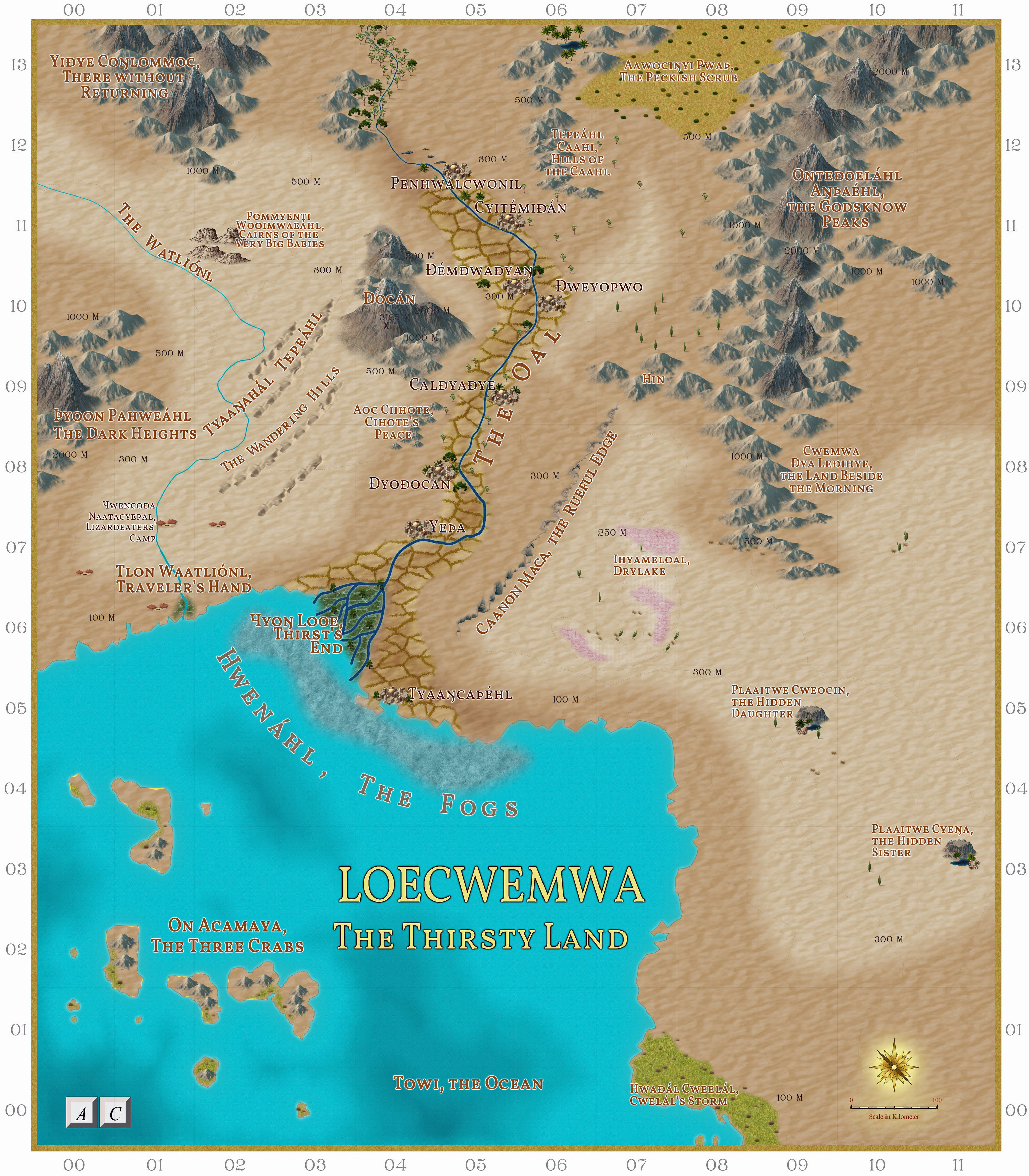
Commission - Loecwemwa, a desert land
Here is the completed map for one half of a commission, and I have been given permission to share this on the Forum.. It shows Loecwemwa, a desert land with a fertile strip beside a Nile-like river (the Oal). I hope we will get a fuller explanation of the land later.
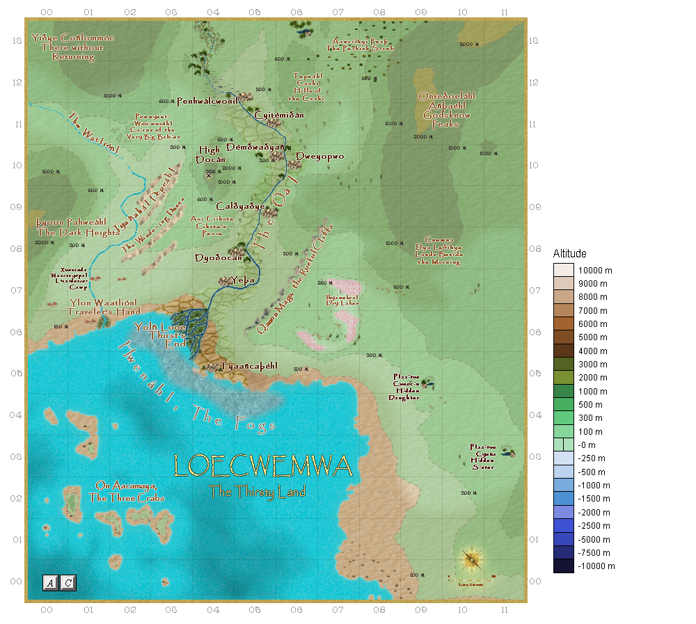
I have done both climate and altitude maps.
I thoroughly enjoyed working with my 'commissioner', and am now working on his world (as previously shown).
https://forum.profantasy.com/discussion/11010/desert-map-for-a-commission


Comments
Nice work.
The edge of the fertile land looks a bit sharp to me, especially when looking at the whole map. Have you considered increasing the size of the edge fade a bit?
No, not really. In Egypt, the division between fertile land and desert is VERY sharp.
But is that natural division, or one created by man using irrigation and fighting against the roll of the dunes?
The latter - you see it everywhere in Egypt. Especially in some of the new settlements in the desert.
In Egypt, as also in Mesopotamia (modern southern Iraq), the man-made thing for irrigation started very early on, so telling what's truly "natural" is no longer really possible. You get a similar effect in the deserts near both places modernly where there's been a rare, heavy rainfall recently; there's a sudden explosion of greenery and flowers in a concentrated area where the rain happened, and the immediate vicinity of the run-off, surrounded by the usual "barren" waste. It lasts for at most a few weeks, and then it all dies-off, and vanishes.