Scale issues with a metric map
 ledge
Traveler
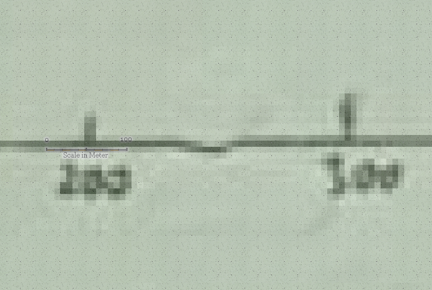
Hey lovely people, I'm starting a new map and it is based off a friends hand drawn map of a city in his world. I've set up the map dimensions for a SS5 Cities of Schley (metric) style with dimensions of 3700x2600. However when inserting symbols they are too small. For example if I insert a Scalebar symbol it shows 100m as in the image below, the actual scale for 100m is the two vertical marks in the image below. I've checked the distance using the Info -> distance tool and the symbols are definitely a third the size they should be. Am I doing something wrong? Should I just use imperial instead of metric? Or is there a way I can tell CC to triple the size of all the symbols?
Thanks in advance for any help!
Tagged:


Comments
When inserting images like this as a trace aid you need to scale the image to fit the scalebar symbol (providing you have pasted the scale bar at the default symbol scale).
You can use Distance from the Info menu to find out how long your image scale really is, and then work out how much smaller the image needs to be and scale it down by typing in the factor.
For example, if I had an image I wanted to trace and the scale bar on that image was twice as long as it should be, I would scale the image by a factor of 0.5.
Note that the default symbol scale for metric maps is 0.3048 . That makes every symbol appropriately scaled, EXCEPT for the scale bar. When placing the scale bar, just right temporarily set the scale to 1.0 (but use the default value for all other symbols)
Oops!
I probably would have known that if I ever used metric.
Thanks for the catch, Remy :)
Thanks Remy. Is there a reason that the scale symbol isn't scaled like other symbols?
To be fair it was the first symbol I had placed to make sure I had done everything right in setting up the map :)
Now I'm trying to deal with the fact I'm mapping a large city and trying to do a map that pretty much combines city and overland. I should probably start with simpler maps, but ?♂️
The scale symbols are always made to be placed with scale factor 1.0, because it is important to get those absolutely correct, and using a factor of 1.0 makes the precision perfect.
Most other symbols are designed for an imperial scale, and are then simply scaled down when used in metric maps through the default symbol scale for the map.
Damn imperialists. Seems only UK (half in-half out) and USA (fully in - what an irony) still use this archaic and non-intuitive system. Thank you France for 'inventing' the metric system.
...Thank you France for 'inventing' the metric system.
Well, technically, it was a Scot, James Watt, who advocated a standardised international decimal system of scientific measurements in 1783, and what we now recognise as the whole series of SI units, sometimes colloquially referred to as the "metric system", was the product of a great many people in various parts of the world over many years from the 18th to 20th centuries, with numerous variant definitions even for the metre during that time. What's now considered that metric system, the formal international adoption of the SI units in fact, didn't happen until 1960, and that Système International continues to evolve.
Sadly, there isn't a suitable metric definition for such pedantry though ??
But the French actually did it. It took so long for SI units to be established for scientific purposes because the USA held out for so long. Now the world over (even USA) must use SI units for all scientific papers.
Pedantre, centipedantre, millipedantre.
Or sometimes in both of our cases, kilopedantre.
One pedantre is one Webster Dictionary at 0 deg C in a vacuum held in the middle of the Australian desert, on top of Uluru (which is why climbing it is now forbidden). The dictionary must be the 2022 edition
(Unless it is Thursday at night when we will be merely crazy.)
Sounds like a Q-metric conspiracy to me.