Gaelic influenced lands
 Dak
🖼️ 37 images Surveyor
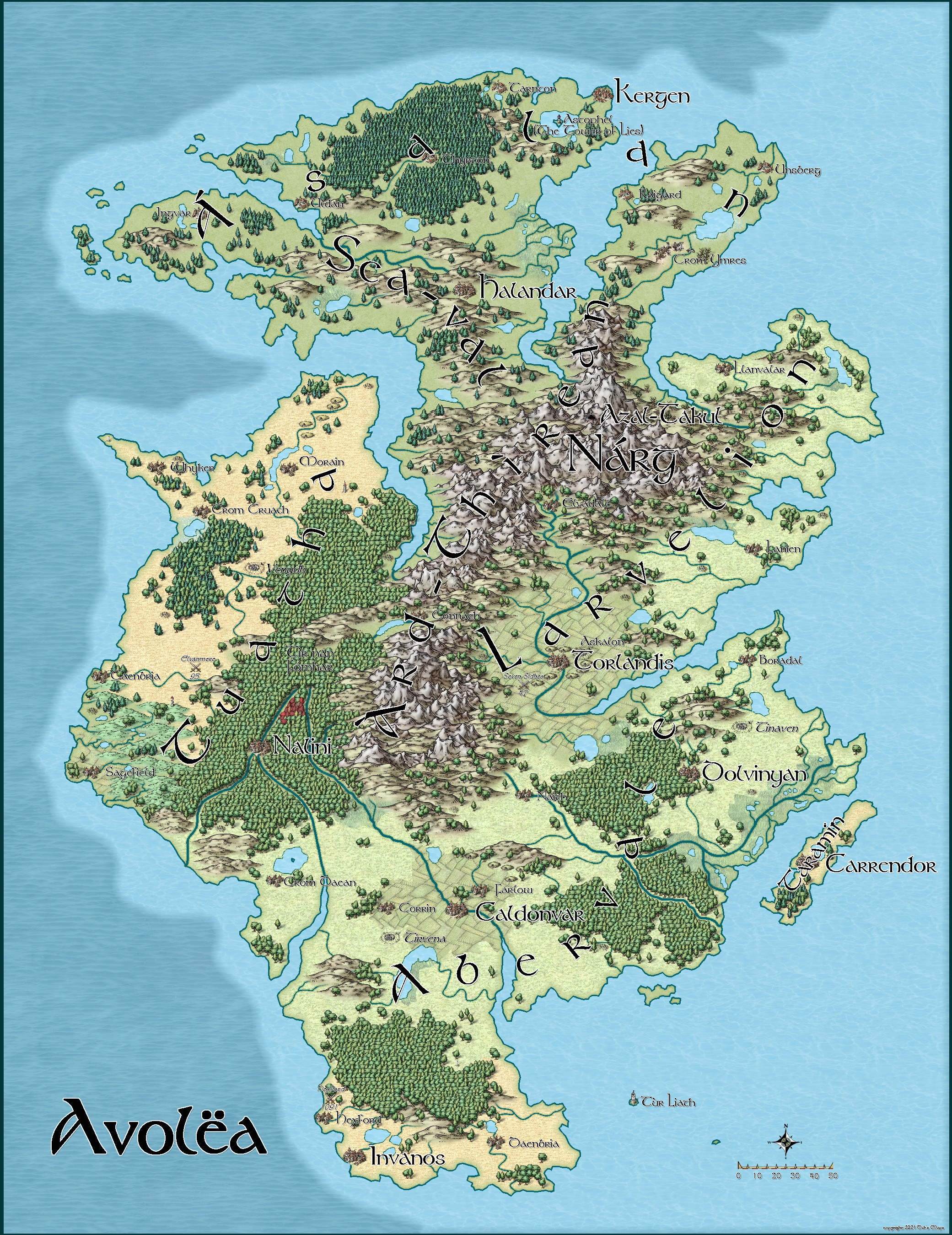
This is another land (island) from my campaign world. The island lies to the east of Elloran and is one of the Eilean islands. It is inspired by Gaelic culture (Irish and Scottish Gaelic), and Tolkien's original stories (before LOTR was published), as well as by the AD+D Moonshae supplement by Douglas Niles. It is where the great kings of humans and their descendants originate from.
In Role playing terms it is almost the perfect land to set an AD+D game in. All the demi-human races have a homeland here (even the halflings). Barbarian invaders and migrants from Fomorria have occupied the northern part of the island, and the interior is overrun by goblinoids.
This is also the seat of power of the Tolari Gnomes. They are more akin to elves and men than traditional AD+D gnomes, and they mine the rare white metal Aulor which they use to forge their armour and weapons.
Their Capitol is Torlandis and the seven great sidhes.
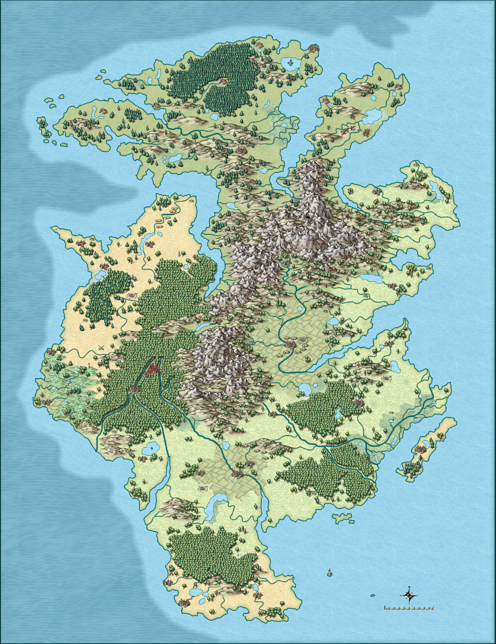
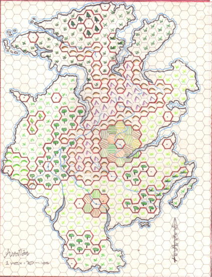
I have included the full map, a terrain map, and the original map I used as a trace. I can't remember when I drew the original but I'm fairly sure it was over 20 years ago.


Comments
Looks great. I think this came out very nice. You've also done a nice job matching it to the original hex map.
Thanks so much Monsen. The old hex map was drawn with caran d'ache. When I was matching the original to the tools usable in CC3+, I can't believe how good the farmlands turned out, I was very pleased with the results.
Also, when I convert one of my old maps I can't get past the thought, "So that's what the map should really look like." I'm aware I'm not telling anybody here something they don't already know, but I just have to say CC3+ is awesome.
I really love this map. I'm curious about the scale of it. Is it something like the size of Ireland or Britain? Or larger? My overall impression is that its quite large, but I'm not sure why that is.
The hex map has a scale of 20 miles to the hex, so the island's around 600 miles by 500 on that, give or take; Ireland's about 300 by 200 miles, mainland Britain about 600 by 300 miles. The full new map looks to be a little smaller from the scale bar (assuming it's in miles), somewhat over 500 miles by 400 or so.
Thanks so much Autumn Getty.
I think it's about the size of the G.B. (maybe a little more in total area), it's about 600 miles north to south and about 400 east to west.
It is based on Ireland though, and there are many monuments and features that are druidical including circles, henges, barrows, sacred groves etc. The land is populated with the fey, and firbolg and fomorian giants still roam even after the death of Jalvoq. The Old Faith (druidical) and its gods are prevalent here, the principal deity being Amaron. Many magical items here are influenced by Gaelic culture including torcs, cauldrons, and spears.
Also, many place names and themes are taken from Irish and Welsh mythology.
After I had placed the forests, hills and mountains, I thought I needed more lakes and decided that 17 sounded enough. I ended up placing over 50 lakes in the end, and because of the topography decided to place a lot more streams on the map than I initially intended, but it just seemed right to do so.
So think a lush green temperate country like Ireland, but with the weather of Manchester (i.e. it rains a lot).
Feeling a bit dumb about missing the dimensions on the hex map. The reason I asked is that I have been working on and off on a series of islands based on Ireland, though mine is set before most of the mythological stuff, around 550 b. c. e. I think of it as the period when the sidhe have gone underground. Nice to compare notes.
I noticed you were making maps based on Ireland when I looked at your excellent gallery.
I only use mythological themes tentatively, I'll take a name or a concept but don't feel any need to follow the mythology after that and try to put my own mark upon it.
I want my games to have the feel of say bronze age Ireland, or feudal Japan, or whatever, but I don't feel tied to history or legend.