Marholt - png map to FT3 - a commission
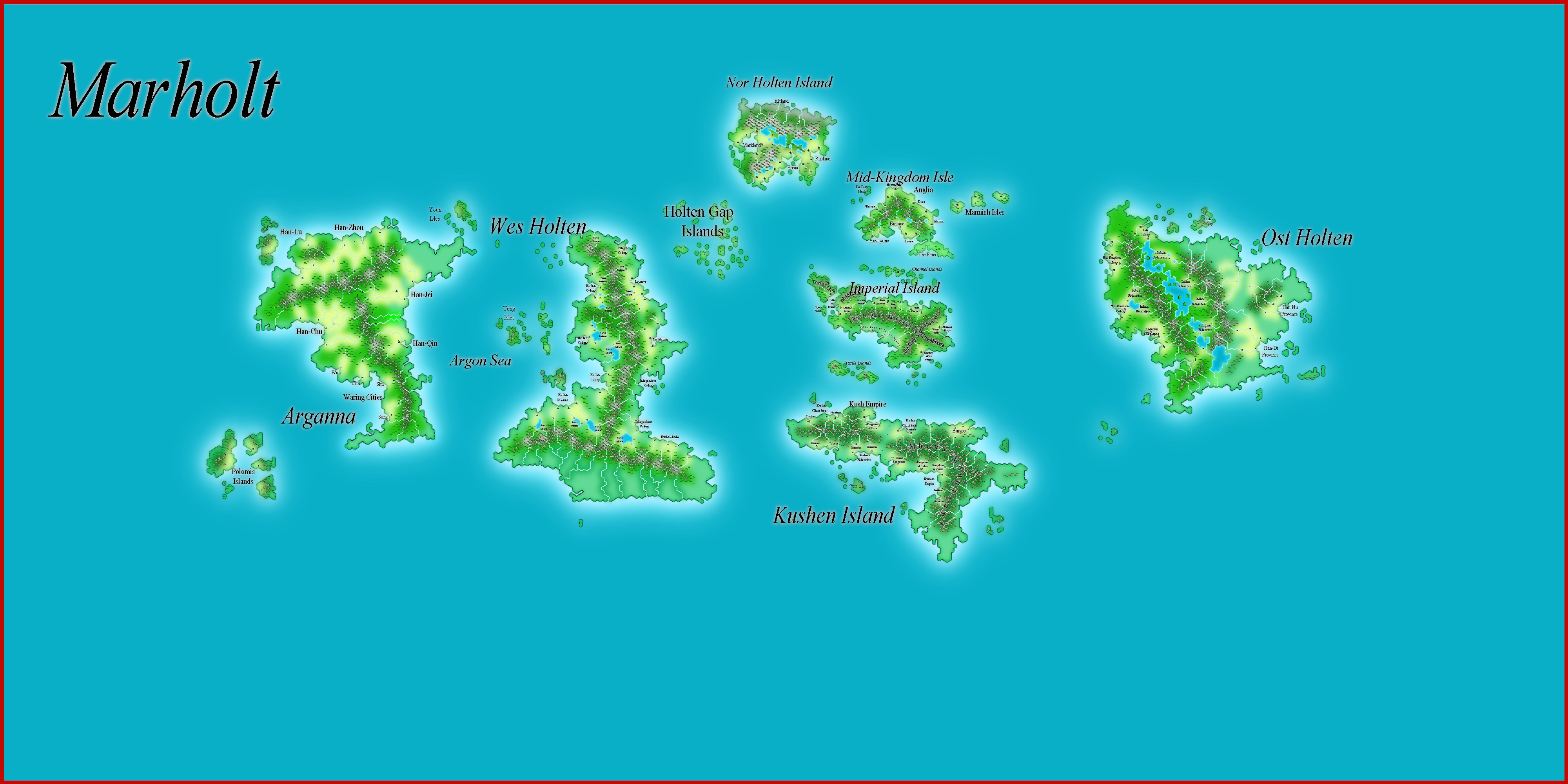
I volunteered to translate a png map of a world to FT3 and the 'Wilburise' it.
First, here is the map presented:
First, as per Sue Daniel's intructions in the Supplement Guide in her astounding One Day WorldBuilder, I converted it to BMP, and made a Flat map in FT3, putting the bmp as an image overlay.
I then added continental shelves (in retrospect, not enough - point for next FT3 project).
Next step: Raising the land to roughly correspond with the land masses above. As requested, I added 2 small North polar land masses, and an Antarctica. There will be small island chains as well.
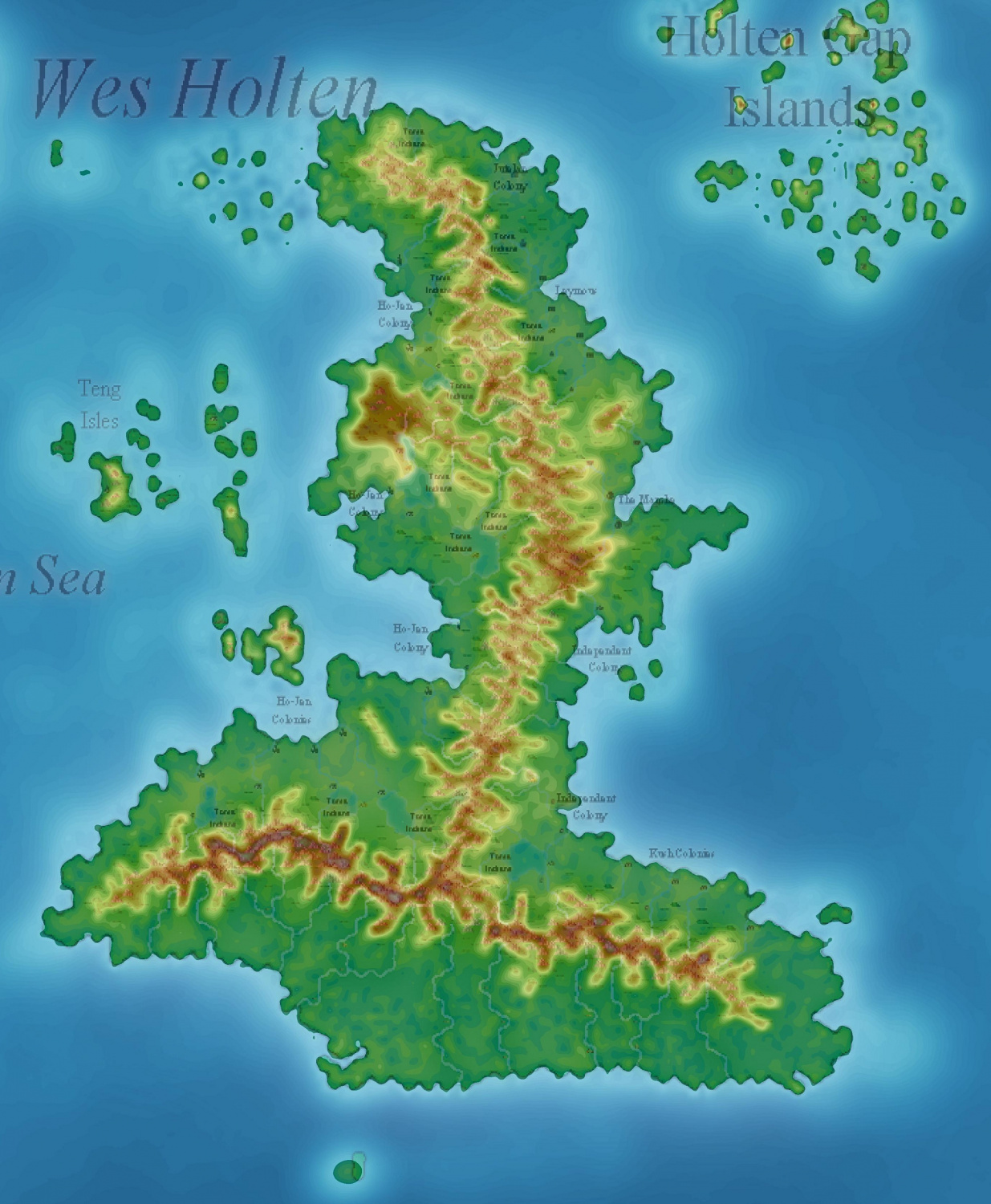
Next step (and the one in progress at present): Tidying up the land masses so coast and mountain chains correspond to the original map. Below is a completed continent, with original map underneath.
The rivers are on the map underneath, not on my efforts. I have tried to make lower contours for where most of the rivers are, but the Wilbur derived rivers will be the ones on the final map (which is OK with Rex)
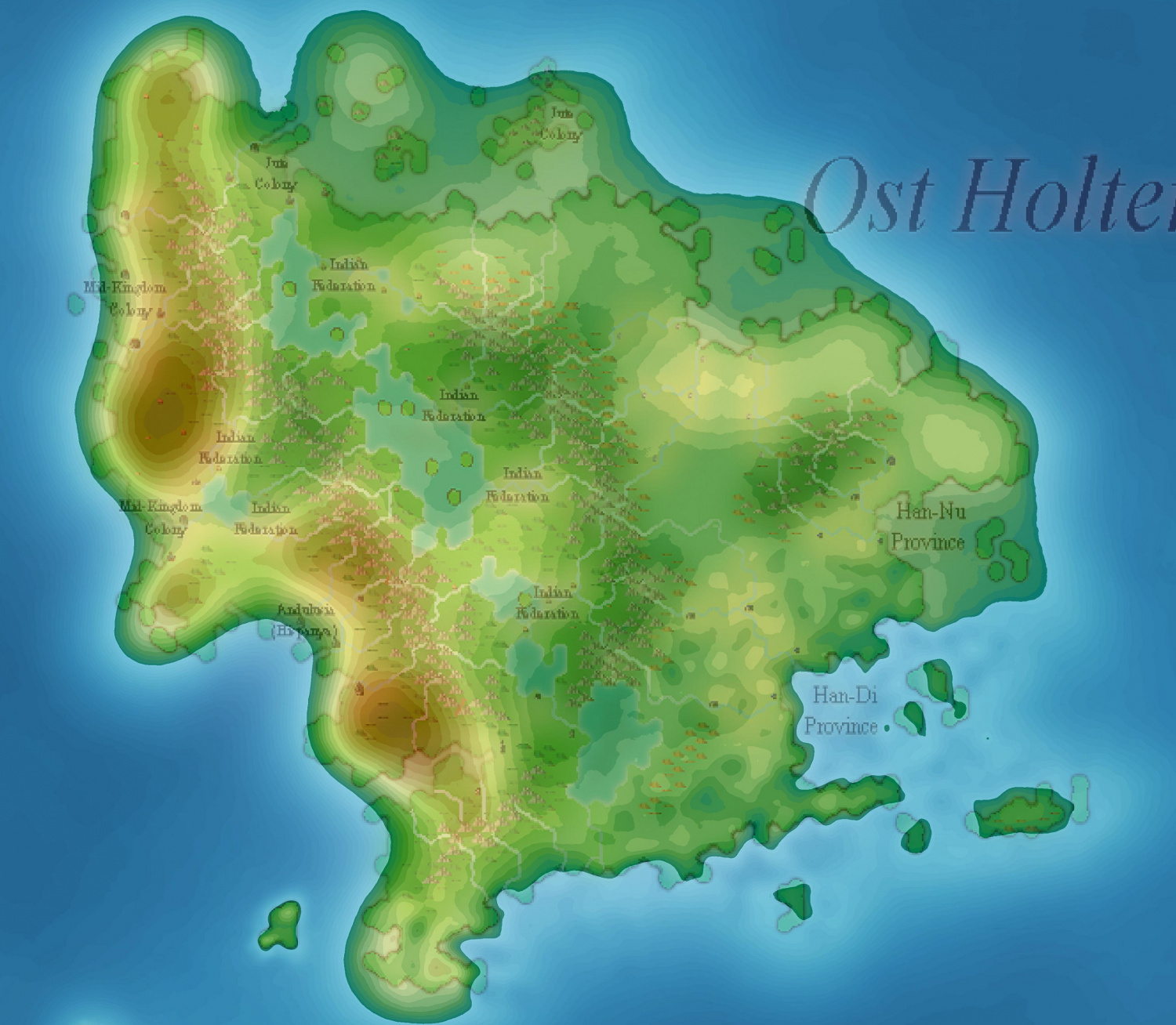
To show the process, here is the last continent from the original map, about 1/4 done. It shows my original 'blob' and the tidying up in the SE corner. Next time, I will make the blob a little more closely aligned to the original map, especially the mountain chains.
The first step in the tidying is to lower the mass to coincide with the coastline (Prescale 5x5, Value 0.1), then raise coastline where it is underwater (global warming at play) - Prescale 3x3, value 0.03), the repeating with lower with Prescale 1x1, value 0.03.
Next, I change to Raise land (Prescale 5x5, value 0.05) to add the mountain contours, and lower land to get rid of excessive high contours elsewhere, Prescale 5x5, Value 0.05.
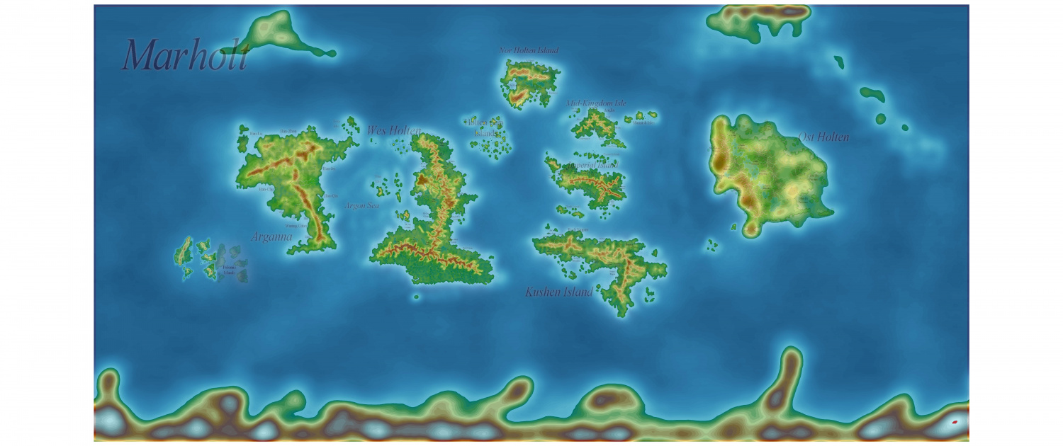
Here is the FT3 map to date. Antarctica and twin 'Greenlands' added but not tidied.
This is the very first time I have used a flat map, and thanks to Sue, the process has proved doable (albeit a tad tedious).
I will definitely use it to translate my Myirandios map to FT3.
Next step will be Wilburisation - we will see how much of the original map will remain.


Comments
Wilbur might make it look quite a bit different to the way it starts out. You can't really control where it puts the rivers. If it takes too much off anywhere the only thing you can do is go back to the original sculpting file and add a tad more where you're losing too much.
Rivers is not a problem. I may have to tweak the coast after Wilbur. Is there anything I really shou
The map to be Wilburized tomorrow.
Step 1: Downloaded FT3 map as Special MDR AFTER Normalizing.
Step 2: Open as MDR file in Wilbur (current version)
HELP
This has happened before - what has happened?
In the Supplementary Notes on page 11 there is a description of how to get rid of Outliers - a couple of data points in your MDR are extreme, probably hundreds or thousands of miles too high or too low.
If you follow those instructions you should end up with a more normal looking map.
That was it - I didn't realize that that was the problem. Thanks you so much, yet again
Here is the final map before Wilbur. On my experimental Wilburization, I found the mountain heights were considerably lowered, so I have raised the mountain heights, and given more detail to the northern island continents, and the Antarctica.
Looks great, Quenten :)
The thing about hand sculpting a world is that it is difficult to get all the mountain ranges to the exact same height across the globe. What normally happens is that you end up with just one mountain range being the tallest, with all the others graded below that maximum. Its not so bad if you really take care of what you are doing at the sculpting stage and try to stop just as you hit the red gamut marker for each and every range. That way, they will all have at least one mountain that is around 30,000 feet.
Wilbur is definitely not altitude-preserving (or generally mass-preserving, for that matter). You always need to rescale after processing and before that final export. I recommend looking at the histogram window in Wilbur when you first load up your map and note the minimum and maximum values. Then, right before saving it, check the histogram again and scale the terrain again to keep your overall minimum and maximum values. Note that the shape of the histogram will probably change a bit from the processing.
There are several stages in CA155 that readjust the altitude range to stretch it out again for the very reasons that Joe stated above.
I am quite happy with this - the Wilbur export (larger one in gallery)
Here is the same thing exported to FT with rivers added.