City on a Rock
 Loopysue
ProFantasy 🖼️ 41 images Cartographer
Hi Everyone 
I was taking a few days break from Spectrum just to give people a chance to come back about what they feel is missing, and decided to mess around with another idea here.
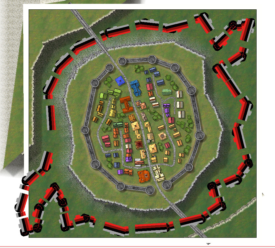
This is a very crude prototype cliff symbol - a sketch with sharp edges that don't blend into each other. Just a concept thing.
So here are the first images from that idea.
Granite version
[Image_15077]
Limestone version
[Image_15078]
Mudstone version
[Image_15079]
Sandstone version
[Image_15080]


Comments
Shessar and Jim - thank you
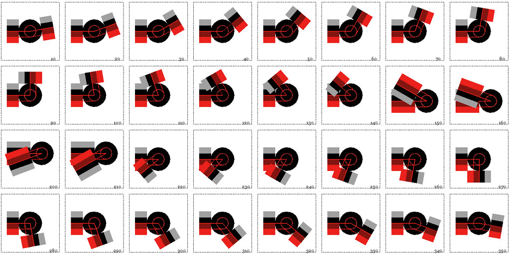
While trying to design a set of connecting cliff symbols I decided I needed to make corner sections because straight lengths just weren't working very well. (By the way, this is only a draft cliff, not the final product)
[Image_15176]
Following the Tome corner segments should be named like this "Cliff 1 [10:20] 1.png" with a colon in the file name. I can neither save nor edit the filename to have a colon in it. What do I do now?
The other two questions I can't answer are:
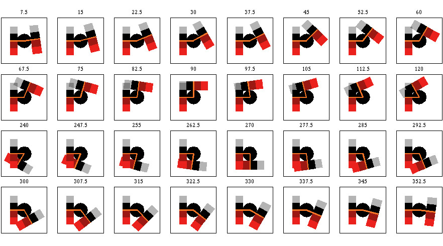
- how to name bends that are the other way. ie, should a bend that is -30 degrees (as per the image below) be named [-30:20], or [330:20]?
- Can I trim the images to get rid of excess space around the symbol as long as I make sure the point at the centre of the circle is allways at the centre of the cropped image?
[Image_15177]
I thought I remembered there was something a bit odd about the way the corner symbols were named before when I did a set without any corner pieces, but I had to remember where I'd seen the examples. It was way back in the Cartographer's Annual issue 11. The actual png files have a hyphen, but you rename them in the Symbol Manager to replace the hyphen with a colon. It's also clear from the examples in that issue of the annual that the images can be cropped to fit the corners, so I've answered that one myself as well.
But that still leaves me wondering about the reflexive corners (the ones that bend in on themselves like in the last picture above). How exactly do I sort them out? I will Make up a test set and try the negative angles - see if they work.
I would like there to be drawn rugged protrusions instead of gaps.
I'm still having a few issues with the connecting symbols, so I may end up making a few small collections of symbols that work more like house symbols so you can place them more accurately and seamlessly by hand. It will be a little more labour intensive than connecting symbols, but I think the result might be better that way.
I just have to do the drawings to replace the mad stripey cliffs.
It was pretty tricky, so I am just a tiny bit proud of the fact that I got it to work in the end. I nearly gave up at one point.
The job, however, isn't finished. I have already started planning for a second issue - probably the bonus issue.
The problem in this case is that the map file only covers the face of the cliff and not the top part, which means that if I add the green = 1 to the map file only the face of the cliff will be affected and not the top.
I'm not even sure if a symbol can have both a map file and a vari file. I don't think the varicolour system was designed with that in mind.
The main bulk of the cliff is a single set of connecting symbols with angles at every 7.5 degrees to reasonable limits. The falls, inclines and cliff endings are not part of the connecting set, but are identical lengths to the connecting straight symbols, so it is easy to get the angle from an existing straight and then delete it and replace it with one of the additional symbols. Mostly these are 60ft long, but there are 3 waterfall widths and 2 lengths of incline and cliff end. The cliff ends, of course, can just be dropped onto the ends of the line-up of connecting symbols.