Fractal Terrains won't return to normal map

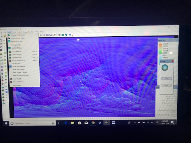
I'm not sure what to do, but the program has been unable to return to normal since I hit the Gaia mode. I've closed the program and rebooted comp and it just returns to this. Considering a reinstall. I also told it to not remember to reboot with the same last settings, but it appears this way whenever I hit normal map mode. It feels stuck in gaia mode and it won't allow a normal mode. Gaia mode still works and so do all the climate, etc.

Comments

  • LoopysueLoopysue ProFantasy 🖼️ 39 images Cartographer
    That's because it is quite literally a "Normal" map, showing the relief in shades of red blue and green - not to be confused with the Show Altitude option, which is the altitude colouring you probably mean when you say normal.

    An actual Normal map is most useful when you export it together with the Altitude image and combine the two images in a 3D modelling environment such as Blender, where the normal map deforms the surface of the planet to take the actual shape of the land - true relief mapping in 3D. That's all it is.

    You don't need to do a reinstall. Just pick the Show Altitude option :)
  • LoopysueLoopysue ProFantasy 🖼️ 39 images Cartographer
    And by the way - thank you for drawing my attention to that option. In the past 2-3 years I've used FT3 a lot, but I've never actually noticed that option before.

    Now I can go away and make lots of lovely realistic looking 3D planets in Blender, using the normal map :)
  • I'm still not seeing the default map. The one that loads with the program when you first turn it on. I uninstalled and reinstalled anyway to no avail. I used Fractal terrainsin the past and I don't remember having such a problem last time around, when it came to getting back to its default map setting. I assume normal map mode would return it to its original setting, but its just showing a chromatic mess as above. Its not acting as it had when I used the program before. I hit the climate button, but I have yet to see the defaults return.
  • Honestly, I think the program is broken for me and somehow Win 10 is remember something about the installation that isn't allowing a legit fresh install, or perhaps something was changed in the Win 10 settings that the program uses, which is now rendering the thing incorrectly.
  • LoopysueLoopysue ProFantasy 🖼️ 39 images Cartographer
    edited November 2018
    And this is after you click "Map/Show Altitide"? (SHIFT+A)
  • LoopysueLoopysue ProFantasy 🖼️ 39 images Cartographer
    I use Win 10 as well, and I agree its a total £$%^ control freak app that should never have been created, but... its not doing this to me.
  • LoopysueLoopysue ProFantasy 🖼️ 39 images Cartographer
    How about if you try to show the temperature or climate maps? (same menu)
  • LoopysueLoopysue ProFantasy 🖼️ 39 images Cartographer
    Just to clarify here in case my explanation was a bit fuzzy, the menu offers a "Normal map". This is a special type of shading intended for export and use in a 3D modelling program. It is not the normal coloured map that you might print out and show to a friend. That one is called the Altitude map.

    It does cause confusion at times, but this is not Profantasy being awkward. Its the accepted name of these very special red blue and green images in the 3D modelling industry.
  • JimPJimP 🖼️ 280 images Cartographer
    edited November 2018
    Try looking at Lighting and Colors under the Map menu at the top of FT3.

    Selecting color scheme tab, and double click on one, then click on Apply, until you get what you want.
    I use cc2 gree to grey
  • Thank you everyone. The double click part through me for a loop and by Jim I got it with Lighting and Colors. Thank you Loopy for being there first and very responsive.
Sign In or Register to comment.