

FT3 3.0.21 adjusting Lat /Long grid

I have a map I'm working with but I need to move the equator Approx 0.4 degrees north.
Sofar the only method inside FT that I can find is moving the north pole .
It works insofar that yes the equator goes to exactly where I need it, But, the geography changes.
images 1 and 2 show the change.
is there any other method that might acomplish this within FT? I'm trying to get a series of base maps to export with the Lat/Long grind embeded.
Any ideas wolud help,
for some reason jpg file wont upload, tried as png and that doesnt seem to work either.
ok got upload fixed, sorry for the double,
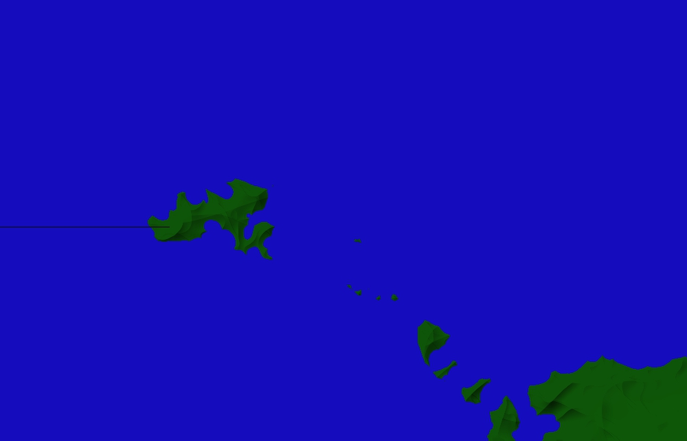
pic with larger island is original, one with smaller is modified.
https://www.dropbox.com/s/wah31cbb5l5hbxt/equator_tests.png?dl=0
Sofar the only method inside FT that I can find is moving the north pole .
It works insofar that yes the equator goes to exactly where I need it, But, the geography changes.
images 1 and 2 show the change.
is there any other method that might acomplish this within FT? I'm trying to get a series of base maps to export with the Lat/Long grind embeded.
Any ideas wolud help,
for some reason jpg file wont upload, tried as png and that doesnt seem to work either.
ok got upload fixed, sorry for the double,
pic with larger island is original, one with smaller is modified.
https://www.dropbox.com/s/wah31cbb5l5hbxt/equator_tests.png?dl=0


Comments
If you tried to upload an image larger than about 1 MB it won't work. I try to keep the pixel size of mine down to about 1000 pixels in width (which is enough to show most problems), and I never have that problem.
perfect fix and back to (cough) normal
easy answer to my overcomplicating it in my head