

FT3 to CC3+ problems. Why is this happening?

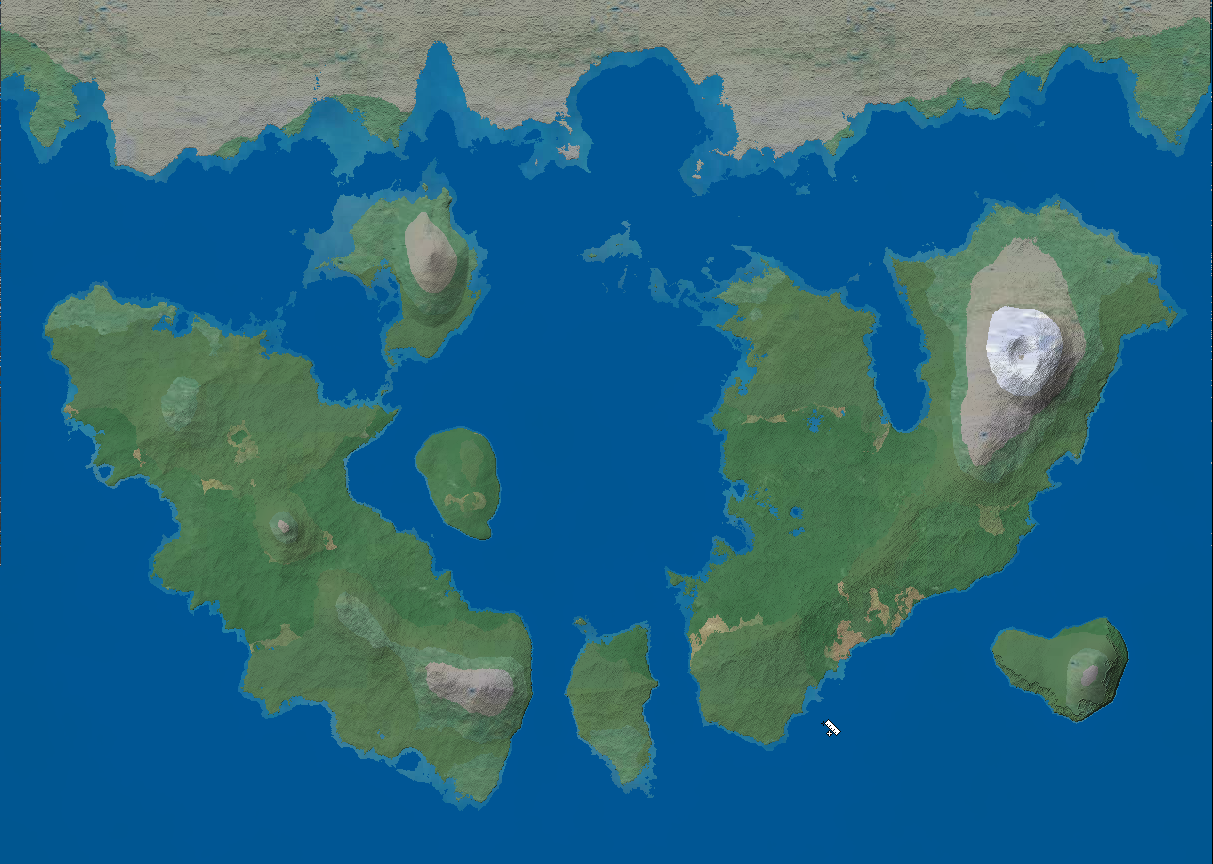
Hey folks, I recently got CC3+ as a gift, and downloaded the FT3 demo trying to get feet wet with world building. I have here a map I made using FT3 (after 2 days or so of stumbling.).

Now, the issue I am having is I have tried nearly all the export settings from FT3, and nothing gets me even close to something looking like a map I want to work with.
Here are some examples.


If someone could just give me some advice on what to do here, I would be very thankful.
The only video tutorial I found used outdated settings that don't exist. And there is little to no information as to why this is happening to me any place else.
Now, the issue I am having is I have tried nearly all the export settings from FT3, and nothing gets me even close to something looking like a map I want to work with.
Here are some examples.
If someone could just give me some advice on what to do here, I would be very thankful.
The only video tutorial I found used outdated settings that don't exist. And there is little to no information as to why this is happening to me any place else.
Comments
I am fond of recommending http://www.fracterra.com/CGTutorial/index.html as a tutorial for FT. Maybe it's just because I like to hear myself talk. It's a little bit out of date, but not too badly, I think. The major difference that I would recommend to do differently from the tutorial above is to use the "RMF with Perlin's Improved Noise" fractal function rather than "Wilbur Ridged Multifractal". I should probably update tutorial some day.
Any advice?
The CC3+ export FT creates is in a very basic style, but once you have it in CC3+, you can change the visual look into any one of CC3+'s multiple mapping styles (exactly what is available to you depends on the add-ons you own). I usually prefer to do a coastline only export, and then creating a brand new map in CC3+ in the style you prefer, then copy the landmass over via the clipboard from the FT export to the new map, and then finally use change like draw tool on it to bring it's style into line with the map style.