

Ocean Lines Edge Stripping Help

I'm working on a harbor town for my campaign and I want to do some extra touches on the watermass. I'm pretty new to the program, and I want to make the water have the slight fading lines. I have started playing with the Edge Stripping effect, unfortunately I couldn't make it work, Perhaps I don't own the right resources for it but I can't seem to get the desired effect. I managed to create a very thin line but I was aiming for thicker ones that have increasing distance. Can anyone assist me please? ^^
Comments
Thanks!
If not, drawing it yourself in any image editor is also reasonably easy. As you can see in the image from Joe, it is really just a long strip of an image, with vertical black stripes. Make sure to start with a transparent background and not a white one though, and you should be set.
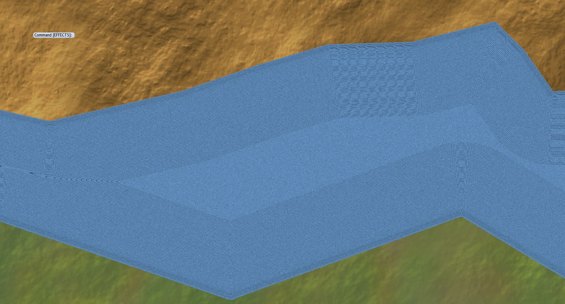
It looks like you have an edge striping image now. You might want to tweak some of the settings to see if you can get it to look the way you want. The settings will depend on the scale of your map, but here are a few tips.
- Put the Edge Striping effect on the sheet that contains the landmass.
- Try different Effects Units options.
- The Map Units setting uses the units by which your map is measured. If your map is measured in feet or meters, a value of 5 would only be 5 feet or meters. In overland maps, map units are typically miles or kilometers.
- If using one of the two "percent" options, the Size value then becomes a percentage of the map or the current zoomed view, depending on which Effects Unit you chose.
- Make sure the Striping Placement setting is Outside.
I hope that helps.Cheers,
~Dogtag
CONCLUDING REMARKS