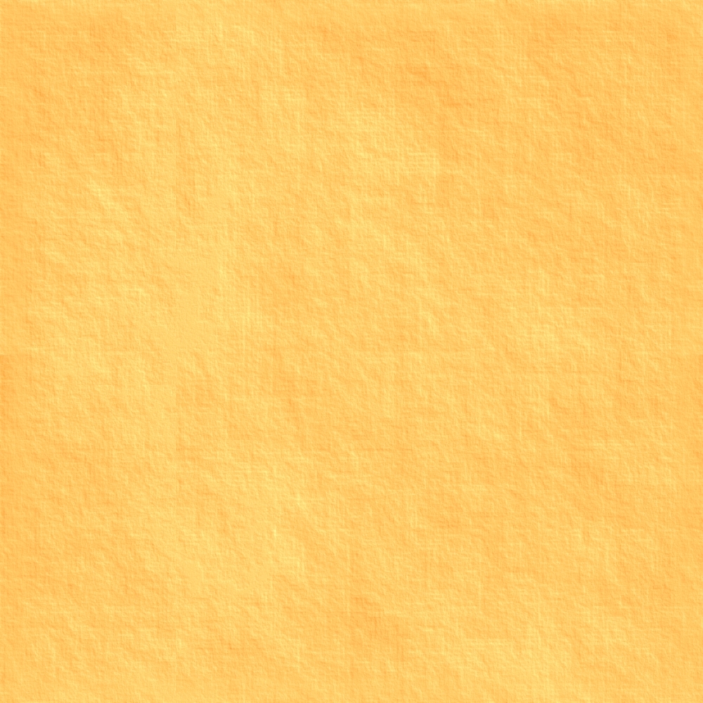
Parchment tile for free - for you

Don't really know why I made this one, but I do these crazy (and probably meaningless) things when I can't sleep for thinking about stuff.

I have a 600 dpi version, but that's a 2 MB file and I don't have anywhere to put it for you to get at it if you wanted it. This is 300 dpi and 1000 x 1000 pixels.

Comments

  • LoopysueLoopysue ProFantasy 🖼️ 39 images Cartographer
    If you want a smaller one, I can do that in a couple of minutes. It tiles ok, but if you have thousands of them together in a big sheet its best to use it only as a background for something else.
  • LoopysueLoopysue ProFantasy 🖼️ 39 images Cartographer
    Found another one... The Ice I used on the Ethran map. This is a smaller file, but if you want a bigger one I can put it up here for you.
  • LoopysueLoopysue ProFantasy 🖼️ 39 images Cartographer
    You might have to adjust the colour a bit to use it with Herwin Weilink. Its so very blue white it makes the snowy mountains look dirty yellow. Sapping all the colour our of it seems to work quite well.
  • LoopysueLoopysue ProFantasy 🖼️ 39 images Cartographer
    Thank you. I used to have thousands of them - a lifetime of thinking in little square tileable images! lol - I'm such a strange little fish. Lost most of them when I fused a hard drive about a year ago. All I can say is beware the larger more expensive graphics packages that have out of date rendering facilities that take hours to render a single 10 second animation sequence, and require you to sleep through some of it to survive the ordeal. It wasn't your average machine, either. It was a purpous built graphics monster... which is probably why it overheated and nearly set fire to my flat.

    I do have a compressed backup drive full of the things, but no heart to actually look at it and remember all the ones I lost. Here is a pebble beach for you. Its made of real photos of real pebbles from a real beach near where I live.
  • LoopysueLoopysue ProFantasy 🖼️ 39 images Cartographer
    But THIS ONE... will either fry your mind, or give you something to meditate on!
  • LoopysueLoopysue ProFantasy 🖼️ 39 images Cartographer
    They are all tileable by the way, and I don't attach any copyright to the ones I upload to this site.
  • MonsenMonsen Administrator 🖼️ 46 images Cartographer
    These are great. Thanks for sharing.
  • I can host them on my Crest of a Star site for free. Just whisper me and I'll give you an email address you can send them to. I have gigabytes of space.
  • LoopysueLoopysue ProFantasy 🖼️ 39 images Cartographer
    Thanks JimP.

    I will see what I can dig up, but it may be a while :)

    I'm working on a way to generate a pseudo relief mapping technique. This is what I've come up with so far, thanks to an idea sparked off by LadieStorm's comments on another post. It uses a separate sheet for each contour level. Each sheet has a lighted bevel on it.

    Its probably been done before, but I can't afford to buy any of the annuals or the Great Tome.

    The major drawback of the technique I'm working on is that you have to reproduce the entire map on each and every sheet. That's why I haven't used anything other than brown land as the test island.
  • LoopysueLoopysue ProFantasy 🖼️ 39 images Cartographer
    Don't know if this works but I have attached the CC3+ file to this comment
  • LoopysueLoopysue ProFantasy 🖼️ 39 images Cartographer
    Posted By: MonsenThese are great. Thanks for sharing.
    Your welcome, Monsen. What point is there to being creative if its not for sharing?
  • jslaytonjslayton Moderator, ProFantasy Mapmaker
    edited June 2016
    That last one kinda reminds me of the mountains in http://forum.profantasy.com/comments.php?DiscussionID=5280

    I took a look at the FCW file, but it's hard to see what's going on without the fills. I should probably update my installation one of these days.
  • I made a template some years ago and used the bitmap fills I host from Natalya Faden's files. I used a different bitmap for each contour range.

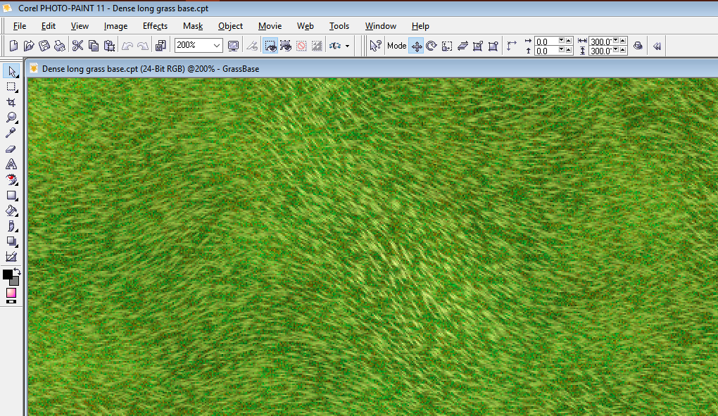
    Here is where we discuss the bitmap fills, and a link on my site to them.

    Trying to Find Creator of some Great Textures

    And here is a link to how I used them for my old surface maps and showing contour ranges.
  • LoopysueLoopysue ProFantasy 🖼️ 39 images Cartographer
    Posted By: jslaytonI took a look at the FCW file, but it's hard to see what's going on without the fills. I should probably update my installation one of these days.
    Sorry jslayton. Its not even very clear in my mind what I did because I'm still only playing with the idea, and its very easy to break if you have a large flat area in the landscape, since the lighted bevel doesn't seem to have a way of softening the top edge.

    What I did was this:

    Drew a very simple island and copied it to 3 overlying sheets, named 500, 1000, 1500.

    I drew a contour line on each of those three upper sheets (corresponding to the name of the sheet), then created a negative mask of that contour by drawing a rectangle that was slightly bigger than the map and adding the contour level to the rectangle as a multipoly (the contours becoming holes in that mask). I then turned each mask magenta and used it as a colour key to punch out anything that wasn't on that contour level out of sight.

    The drawbacks I have already mentioned, but the biggest one is that if you have more than one texture on any of the levels you can't use fades to blend between textures without creating two or three sheets per contour level. In the end, even with a simple map that shows maybe 5 contour levels, each with 3 textures on it, you would end up with 15 sheets just to describe the landform, never mind symbols or anything else.

    It could get SERIOUSLY complicated.

    I was wondering if anyone had a better idea I could use, before ploughing on with the new Errispa map, which I intend to draw as a relief map, like the Ethran map, but with more realistic relief shading.
  • LoopysueLoopysue ProFantasy 🖼️ 39 images Cartographer
    Waving field of wheat is available in all kinds of colours... green, blue... magenta, even. You only have to ask.
  • jslaytonjslayton Moderator, ProFantasy Mapmaker
    You can get a similar effect a little more easily, I think:
  • jslaytonjslayton Moderator, ProFantasy Mapmaker
    This idea only uses one contour level per sheet and the contours don't have to be contiguous. It's a Bevel, Lighted followed by an Edge Fade, Inner operation. There are place where it's not ideal, but at smaller size they are mostly invisible. I didn't try to smooth out the distance function ridge artifacts (I really ought to include a slower super-quality antialiased version of the distance function), but you should be able to get a foothill through peak effect by applying different levels of smoothing to the items (see attached).
  • jslaytonjslayton Moderator, ProFantasy Mapmaker
    edited June 2016
    And the CC3 file for that second one. Note that more contours would give nicer results. I am famous for my laziness, though, so that's probably as far as I'll get. I also didn't include textures in there, either.

    One limitation of the bevel technique is that there isn't any way to get non-linear scaling on the initial distance calculation, which means that the slopes will always tend to look like they are at 45 degrees. I should probably add a gamma option to the lighted bevel to allow for differing appearances.
    aa.FCW 24.3K
  • LoopysueLoopysue ProFantasy 🖼️ 39 images Cartographer
    Posted By: jslaytonYou can get a similar effect a little more easily, I think:
    You're right, of course. Mine was a very complicated way of doing things, but there are times when you just can't see a straight path.

    You have drawn a much more complicated island than mine, yet done it more simply.

    Thanks for pointing the way.

    And yet... in defence of my own idiocy, I think I was trying to make sure that if I suddenly decided I wanted a road going right across the middle of the island, all I had to do was draw it as a single entity, then copy it to all the other layers and let the masks do the hard work for me by bringing them back to top on each level once I'd finished - a virtual 'cut to length, trim and paste' job in one. No?
  • jslaytonjslayton Moderator, ProFantasy Mapmaker
    The whole trick in my suggestion is that the upper layers just blot out what's below them (if you hide the upper layers you'll see peaks on them). The edge fade just makes things blend a little more nicely across sheets. Drawing roads and such on a sheet above the contours will avoid terrain clipping entirely because sheets are pretty much independent (with the exception of lighting effects).

    I do understand the desire to be exact. The technique that you used is correct for all cases, I think. The one I used is a quick approximation designed to look fairly plausible at the cost of correctness. I've been attending the school of "good enough at first glance" for more years than I care to think...
  • LoopysueLoopysue ProFantasy 🖼️ 39 images Cartographer
    I quite agree with everything you are saying, jslayton, I just can't do anything about it right now. I'm having a crashing day. CC3 files exported from FT3 have the default template with all the default textures. When I try to persuade the file to 'go Herwin Wielink' by changing the settings and importing all the HW bitmaps, everything starts getting a bit crazy. I lose half the bitmap textures, then when I try to patch it up by creating new textures to insert the missing ones into the list of those available under a new name, I crash...

    Brilliant!

    I've wasted the whole day trying, and I'm beginning to think I might have a virus lurking around somewhere making my life hell.
  • LoopysueLoopysue ProFantasy 🖼️ 39 images Cartographer
    I've got it!

    What I was doing wrong was trying to import the HW bitmaps while all the default ones were still there. Some of them have the same name, like "Desert", so of course it wasn't going to work!

    I can be such a numb skull at times!! Grr

    Before importing the set you want you have to delete as many as you can of the ones you don't want (using the delete button in the FILL STYLES PROPERTIES box, and NOT by deleting the actual files in the bitmap folder!), or if you want both, you need to give the ones you already have new names that won't interfere with what you are trying to import.

    Then you can import the files you want without any trouble - no crashing at all.

    I'm a happy mapper now :)
  • LoopysueLoopysue ProFantasy 🖼️ 39 images Cartographer
    You know that yukky green stuff that grows in ponds and gets tangled over anything that touches it?

    Or... make of it what you will :)
  • LoopysueLoopysue ProFantasy 🖼️ 39 images Cartographer
    And you know that perfect lawn you have always wanted to have without too much trouble?

    (This one isn't square, and I'm not sure if it will work properly, but it was lying around in the album so I gave it to you)
Sign In or Register to comment.